Ardcanny Wood

Wood, Forest in Morayshire

Scotland

Ardcanny Wood

Not much of a Road! This is shown on the maps as a road, but it has obviously fallen out of use and become rather overgrown.
Not much of a Road! Credit: Anne Burgess

Ardcanny Wood is a beautiful woodland area located in Morayshire, Scotland. It covers an area of approximately 100 hectares and is renowned for its diverse range of flora and fauna. The wood is situated near the village of Ardcanny and is easily accessible from the nearby town of Elgin.

The wood is predominantly composed of native tree species, including oak, birch, and pine. These tall, majestic trees provide a dense canopy that creates a serene and peaceful atmosphere. The forest floor is covered in a thick layer of moss, adding to the enchanting ambiance.

Ardcanny Wood is home to a variety of wildlife, making it a popular destination for nature enthusiasts and birdwatchers. Visitors may encounter red squirrels, roe deer, and various bird species such as woodpeckers, owls, and warblers. The wood also hosts a multitude of insects and small mammals, contributing to the overall biodiversity of the area.

Numerous walking trails wind through the wood, allowing visitors to explore its beauty at their own pace. These paths are well-maintained and offer stunning views of the surrounding countryside. There are also picnic areas and benches scattered throughout the wood, providing opportunities for visitors to relax and enjoy the peaceful surroundings.

Ardcanny Wood is a haven for nature lovers, offering a glimpse into Scotland's natural heritage. Whether it's a leisurely walk, birdwatching, or simply unwinding amidst the tranquility, this woodland area has something to offer for everyone seeking solace in nature.

If you have any feedback on the listing, please let us know in the comments section below.

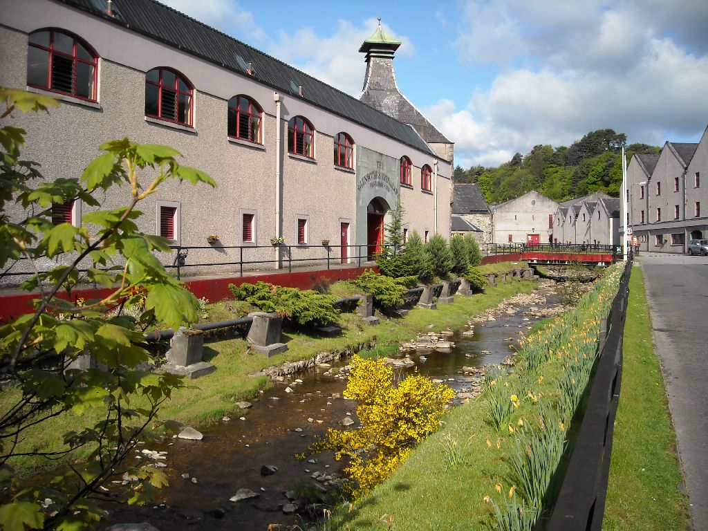
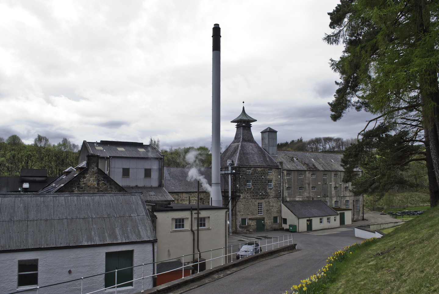
Ardcanny Wood Images

Images are sourced within 2km of 57.531544/-3.2499077 or Grid Reference NJ2549. Thanks to Geograph Open Source API. All images are credited.

Not much of a Road! This is shown on the maps as a road, but it has obviously fallen out of use and become rather overgrown.
Not much of a Road!
This is shown on the maps as a road, but it has obviously fallen out of use and become rather overgrown.
Smallburn and Auchinroath Smallburn, the traditional house just right of centre, is in this square, but Auchinroath, which is almost hidden among the woods to left of centre, is in an adjacent square.
Smallburn and Auchinroath
Smallburn, the traditional house just right of centre, is in this square, but Auchinroath, which is almost hidden among the woods to left of centre, is in an adjacent square.
Old Road Still shown as a road on the maps, this has evidently not been much used in recent years. However it is much easier to walk than <a href="https://www.geograph.org.uk/photo/2645986">NJ2650 : Not much of a Road!</a> lower down the hill.
Old Road
Still shown as a road on the maps, this has evidently not been much used in recent years. However it is much easier to walk than NJ2650 : Not much of a Road! lower down the hill.
Isolated Cottage This cottage is the only building in this square, and has obviously been long abandoned. It is marked on most of the maps, but none of them name it, not even the Victorian six-inch Ordnance Survey map.
Isolated Cottage
This cottage is the only building in this square, and has obviously been long abandoned. It is marked on most of the maps, but none of them name it, not even the Victorian six-inch Ordnance Survey map.
Unnamed Cottage This cottage is the only building in this square, and has obviously been long abandoned. It is marked on most of the maps, but none of them name it, not even the Victorian six-inch Ordnance Survey map.
Unnamed Cottage
This cottage is the only building in this square, and has obviously been long abandoned. It is marked on most of the maps, but none of them name it, not even the Victorian six-inch Ordnance Survey map.
Drystane Dyke An old dyke, representing many hours of hard work, strides across the fields, its usefulness replaced by a parallel fence.
Drystane Dyke
An old dyke, representing many hours of hard work, strides across the fields, its usefulness replaced by a parallel fence.
Drystane Dyke This has been a good long dyke, but it has either collapsed or perhaps been knocked down. The gap between the dyke and the fence isn't shown as a road, and it looks as if it would be wet underfoot.
Drystane Dyke
This has been a good long dyke, but it has either collapsed or perhaps been knocked down. The gap between the dyke and the fence isn't shown as a road, and it looks as if it would be wet underfoot.
Derelict Cottage This cottage is the only building in this square, and has obviously been long abandoned. It is marked on most of the maps, but none of them name it, not even the Victorian six-inch Ordnance Survey map.
Derelict Cottage
This cottage is the only building in this square, and has obviously been long abandoned. It is marked on most of the maps, but none of them name it, not even the Victorian six-inch Ordnance Survey map.
Gonna nae go there! The maps show a path through the forest here to meet a track on the far side. Even if I trusted the stile not to collapse beneath me, the trees have grown so much that they'd be whacking me in the face all the way. So I decided to return by a different route.
Gonna nae go there!
The maps show a path through the forest here to meet a track on the far side. Even if I trusted the stile not to collapse beneath me, the trees have grown so much that they'd be whacking me in the face all the way. So I decided to return by a different route.
Back Burn The deeply incised valley of the Back Burn cuts diagonally right across this square. This is in effect the head of Glen Grant, which gives its names to one of the famous malt whiskies of Speyide. It was very difficult to get to a point from which I could see, let alone photograph, the glen, because of the rank whins on the upper slopes, but I found this one spot obscured only by bracken.
Back Burn
The deeply incised valley of the Back Burn cuts diagonally right across this square. This is in effect the head of Glen Grant, which gives its names to one of the famous malt whiskies of Speyide. It was very difficult to get to a point from which I could see, let alone photograph, the glen, because of the rank whins on the upper slopes, but I found this one spot obscured only by bracken.
Glen Grant The deeply incised valley of the Back Burn cuts diagonally right across this square. This is in effect the head of Glen Grant, which gives its names to one of the famous malt whiskies of Speyide. It was very difficult to get to a point from which I could see, let alone photograph, the glen, because of the rank whins on the upper slopes, but I found this one spot obscured only by bracken.
Glen Grant
The deeply incised valley of the Back Burn cuts diagonally right across this square. This is in effect the head of Glen Grant, which gives its names to one of the famous malt whiskies of Speyide. It was very difficult to get to a point from which I could see, let alone photograph, the glen, because of the rank whins on the upper slopes, but I found this one spot obscured only by bracken.
Abandoned Cottage This cottage is the only building in this square, and has obviously been long abandoned. It is marked on most of the maps, but none of them name it, not even the Victorian six-inch Ordnance Survey map.
Abandoned Cottage
This cottage is the only building in this square, and has obviously been long abandoned. It is marked on most of the maps, but none of them name it, not even the Victorian six-inch Ordnance Survey map.
Sheep Pens This facility is labelled 'sheep dip' on the maps, but at this time of year it is being used as a pen for a small flock of what I think are this year's lambs, perhaps waiting to be taken off to market.
Sheep Pens
This facility is labelled 'sheep dip' on the maps, but at this time of year it is being used as a pen for a small flock of what I think are this year's lambs, perhaps waiting to be taken off to market.
Old Livestock Transport I wonder whether these vehicles will be used again to move the sheep? They are parked beside the sheep dip and pens.
Old Livestock Transport
I wonder whether these vehicles will be used again to move the sheep? They are parked beside the sheep dip and pens.
Farm Crossroads The old and partly overgrown track up from the main road runs right to left, crossing the more regularly used track from the farm. A multiplicity of gates controls the large flocks of sheep grazing in the neighbouring fields.
Farm Crossroads
The old and partly overgrown track up from the main road runs right to left, crossing the more regularly used track from the farm. A multiplicity of gates controls the large flocks of sheep grazing in the neighbouring fields.
HOW many gates? I counted, and including the smart new gates and all the old gates alongside, I made it no less than 13 gates at this crossroads. In the background is Ardcanny Wood, on the far side of upper Glen Grant.
HOW many gates?
I counted, and including the smart new gates and all the old gates alongside, I made it no less than 13 gates at this crossroads. In the background is Ardcanny Wood, on the far side of upper Glen Grant.
A Heap of Stones Although it looks a bit like a tumbledown cairn, there is nothing on the maps to suggest that this is anything of the sort. Perhaps it is just a convenient dumping spot for the stones collected off the field.
A Heap of Stones
Although it looks a bit like a tumbledown cairn, there is nothing on the maps to suggest that this is anything of the sort. Perhaps it is just a convenient dumping spot for the stones collected off the field.
A Pile of Stones Although it looks a bit like a tumbledown cairn, there is nothing on the maps to suggest that this is anything of the sort. Perhaps it is just a convenient dumping spot for the stones collected off the field.
A Pile of Stones
Although it looks a bit like a tumbledown cairn, there is nothing on the maps to suggest that this is anything of the sort. Perhaps it is just a convenient dumping spot for the stones collected off the field.
Show me another place!

Ardcanny Wood is located at Grid Ref: NJ2549 (Lat: 57.531544, Lng: -3.2499077)

Unitary Authority: Moray

Police Authority: North East

What 3 Words

///lend.cowboys.majors. Near Rothes, Moray

Nearby Locations

Ardcanny Wood

Related Wikis

The Glenrothes distillery

The Glenrothes distillery is a Speyside single malt Scotch whisky distillery. The Glenrothes distillery is located in the town of Rothes in the heart of...

Speyburn distillery

Speyburn distillery Speyside Scottish whisky distillery, in Rothes, Moray, Scotland. == History == Speyburn distillery was founded in 1897 by John Hopkins...

Moray (UK Parliament constituency)

Moray ( MURR-ee; Scots: Moray; Scottish Gaelic: Moireibh or Moireabh) is a county constituency of the House of Commons of the Parliament of the United...

Glen Grant distillery

Glen Grant distillery was founded in 1840 in Rothes, Speyside, and produces single malt Scotch whisky. Previously owned by Chivas Brothers Ltd, best known...

Have you been to Ardcanny Wood?

Leave your review of Ardcanny Wood below (or comments, questions and feedback).