Folds Plantation
Wood, Forest in Dumfriesshire
Scotland
Folds Plantation
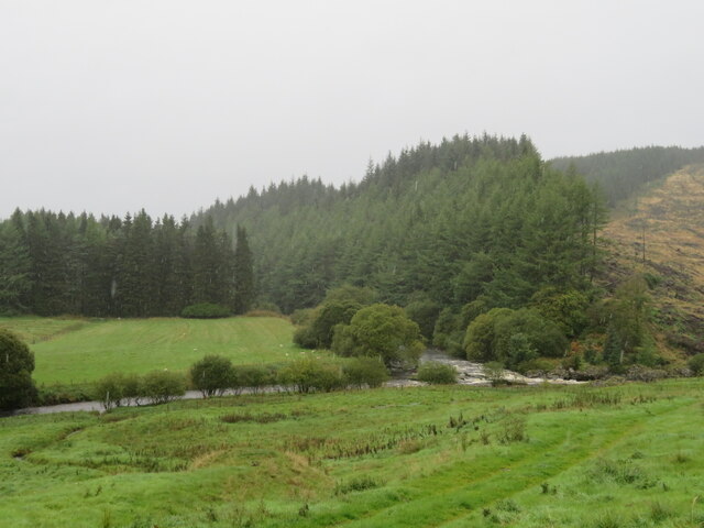
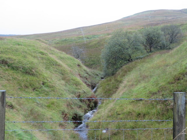
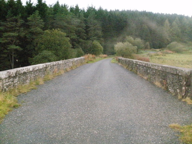
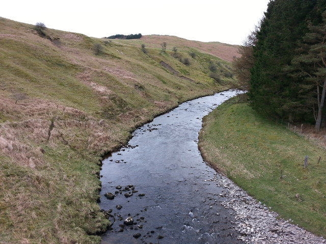
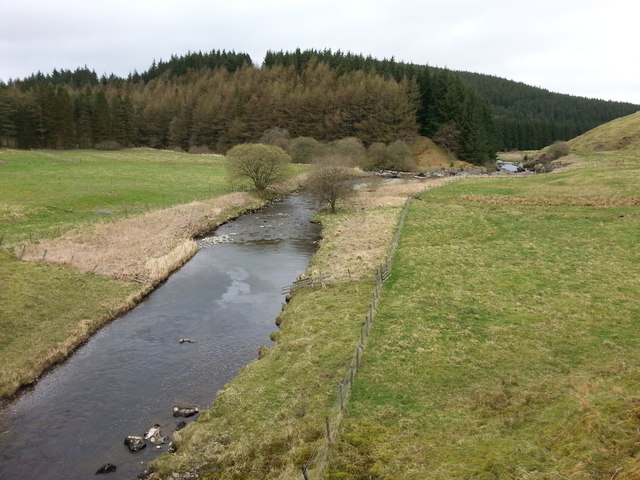
Folds Plantation is a sprawling woodland located in Dumfriesshire, Scotland. Covering a vast area, the plantation is known for its lush greenery and diverse range of tree species, making it a haven for nature enthusiasts and outdoor adventurers alike.
The woodland is primarily composed of deciduous trees such as oak, beech, and birch, which provide a beautiful tapestry of colors throughout the seasons. These trees also offer a rich habitat for a variety of wildlife, including birds, squirrels, and deer, making it a popular spot for birdwatchers and animal lovers.
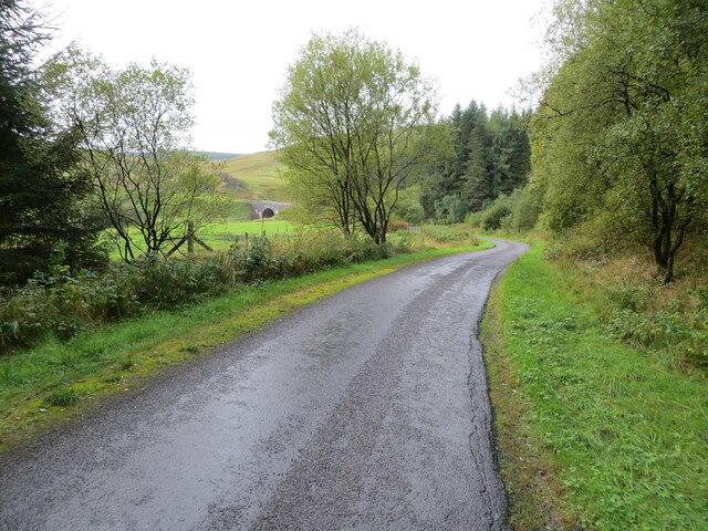
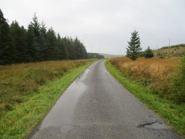
Folds Plantation boasts a network of well-maintained trails, allowing visitors to explore its captivating beauty on foot or by bike. The trails wind through the woodlands, offering breathtaking views and opportunities to immerse oneself in the tranquility of nature. The plantation is also home to a number of picnic areas, providing a perfect spot for visitors to enjoy a leisurely meal surrounded by the sights and sounds of the forest.
In addition to its natural attractions, Folds Plantation offers educational opportunities for those interested in learning more about the local flora and fauna. Interpretive signs placed strategically throughout the woodland provide information about the different tree species and the wildlife that call the plantation home.
Overall, Folds Plantation in Dumfriesshire is a haven for nature lovers, offering a serene escape from the hustle and bustle of everyday life. With its breathtaking scenery, diverse wildlife, and educational opportunities, it is a must-visit destination for anyone seeking a deeper connection with the natural world.
If you have any feedback on the listing, please let us know in the comments section below.
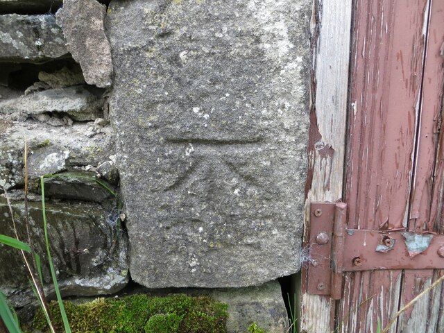
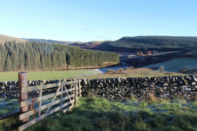
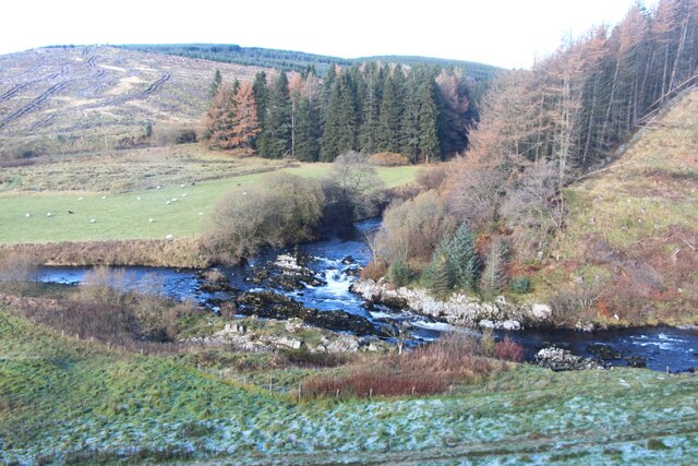
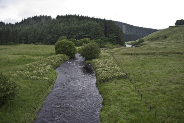
Folds Plantation Images
Images are sourced within 2km of 55.213961/-3.1806303 or Grid Reference NY2491. Thanks to Geograph Open Source API. All images are credited.


Folds Plantation is located at Grid Ref: NY2491 (Lat: 55.213961, Lng: -3.1806303)
Unitary Authority: Dumfries and Galloway
Police Authority: Dumfries and Galloway
What 3 Words
///rosette.ballooned.director. Near Bentpath, Dumfries & Galloway
Nearby Locations
Related Wikis

Castle O'er Forest
Castle O'er Forest is a forest south of Eskdalemuir, Dumfries and Galloway, in southern Scotland.It is bisected by the River Esk. Eskdalemuir Forest adjoins...

Girdle Stanes
The Girdle Stanes (grid reference NY 25351 96153) is a stone circle near Eskdalemuir, Dumfries and Galloway. The western portion of the circle has been...

Whitcastles stone circle
Whitcastles or Little Hartfell (grid reference NY 2240 8806) is a stone circle 6½ miles NE of Lockerbie, Dumfries and Galloway. Nine fallen stones lie...

Loupin Stanes
The Loupin Stanes (grid reference NY25709663) is a stone circle near Eskdalemuir, Dumfries and Galloway. Oval in shape, it consists of twelve stones set...

Holm, Inverness
Holm is a small residential area in the south of the city of Inverness, Scotland. The area lies east of the River Ness. The most prominent structure in...
Eskdalemuir
Eskdalemuir is a civil parish and small village in Dumfries and Galloway, Scotland, with a population of 265. It is around 10 miles (16 km) north-west...

Bentpath
Bentpath is a small village between Eskdalemuir and Langholm in Dumfries and Galloway, Scotland. It is located on the River Esk and has a church and a...

Annandale and Eskdale
Annandale and Eskdale is a committee area in Dumfries and Galloway, Scotland. It covers the areas of Annandale and Eskdale, the straths of the River Annan...
Have you been to Folds Plantation?
Leave your review of Folds Plantation below (or comments, questions and feedback).