Crow Wood

Wood, Forest in Fife

Scotland

Crow Wood

Lochmill Loch Lochmill Loch Reservoir from the hillside to the south.
Lochmill Loch Credit: Scott Cormie

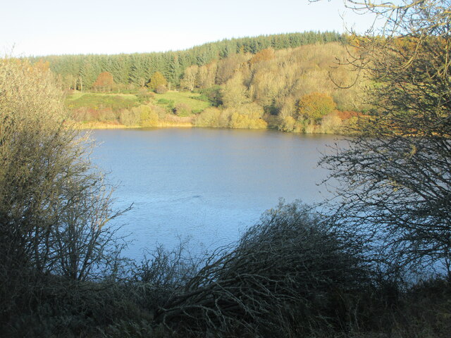
Crow Wood is a picturesque forest located in the county of Fife, Scotland. This enchanting woodland covers an area of approximately 50 hectares and is situated near the village of Letham. It forms part of the larger Letham Glen, a popular recreational area for locals and visitors alike.

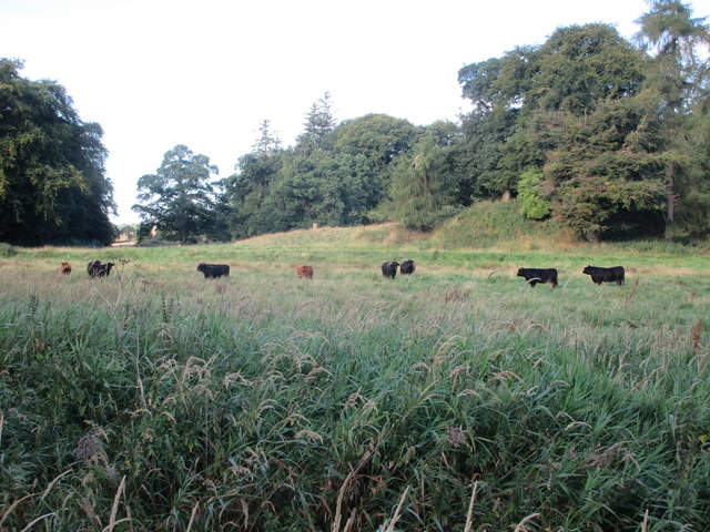
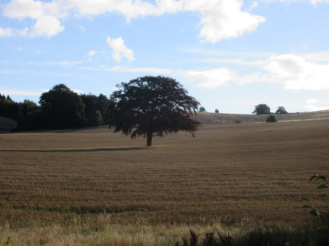
The wood derives its name from the abundant population of crows that inhabit the area, adding to its unique character and atmosphere. The forest is predominantly composed of native trees, such as oak, birch, and beech, which create a diverse and vibrant ecosystem. These trees provide a rich habitat for various species of birds, mammals, and insects, making it a haven for wildlife enthusiasts and nature lovers.

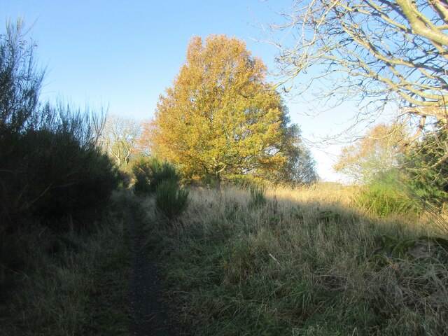
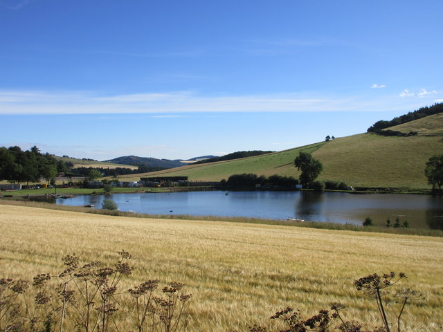
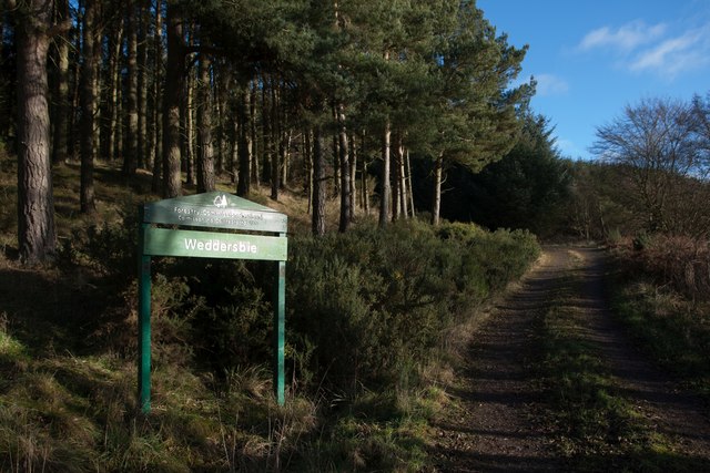
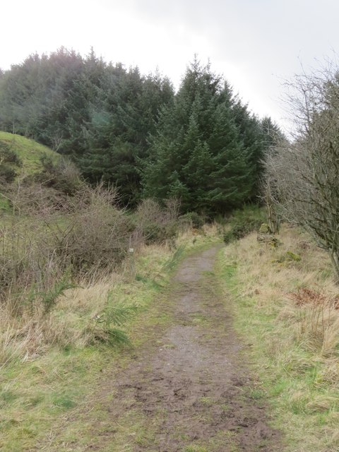
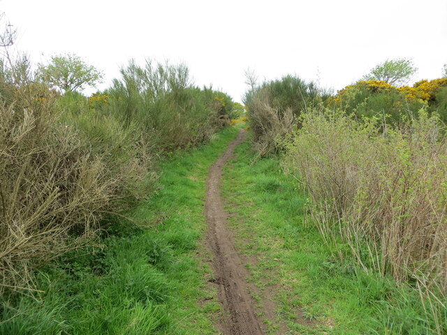
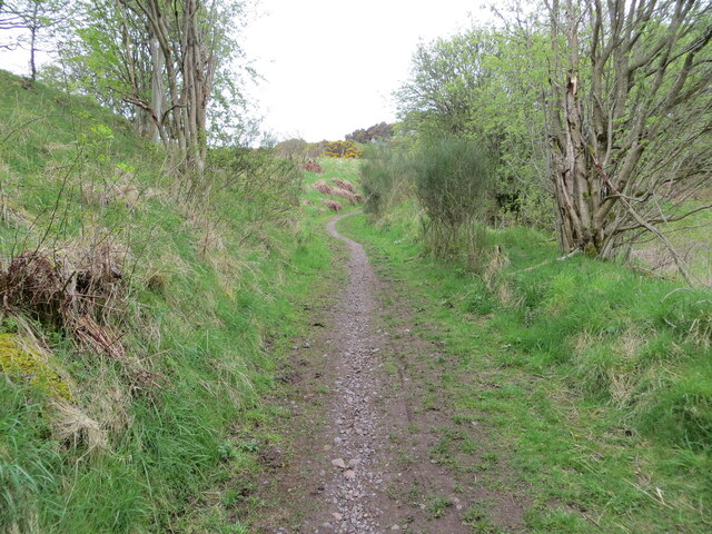
Crow Wood offers a network of well-maintained trails, allowing visitors to explore its natural beauty on foot. The paths wind through the forest, leading to hidden clearings, babbling brooks, and peaceful ponds that further enhance the tranquil ambiance of the wood. It is a perfect spot for leisurely walks, picnics, or simply immersing oneself in the serenity of nature.

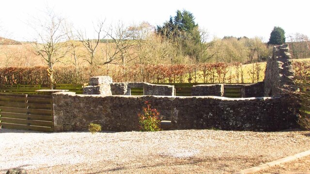
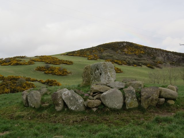
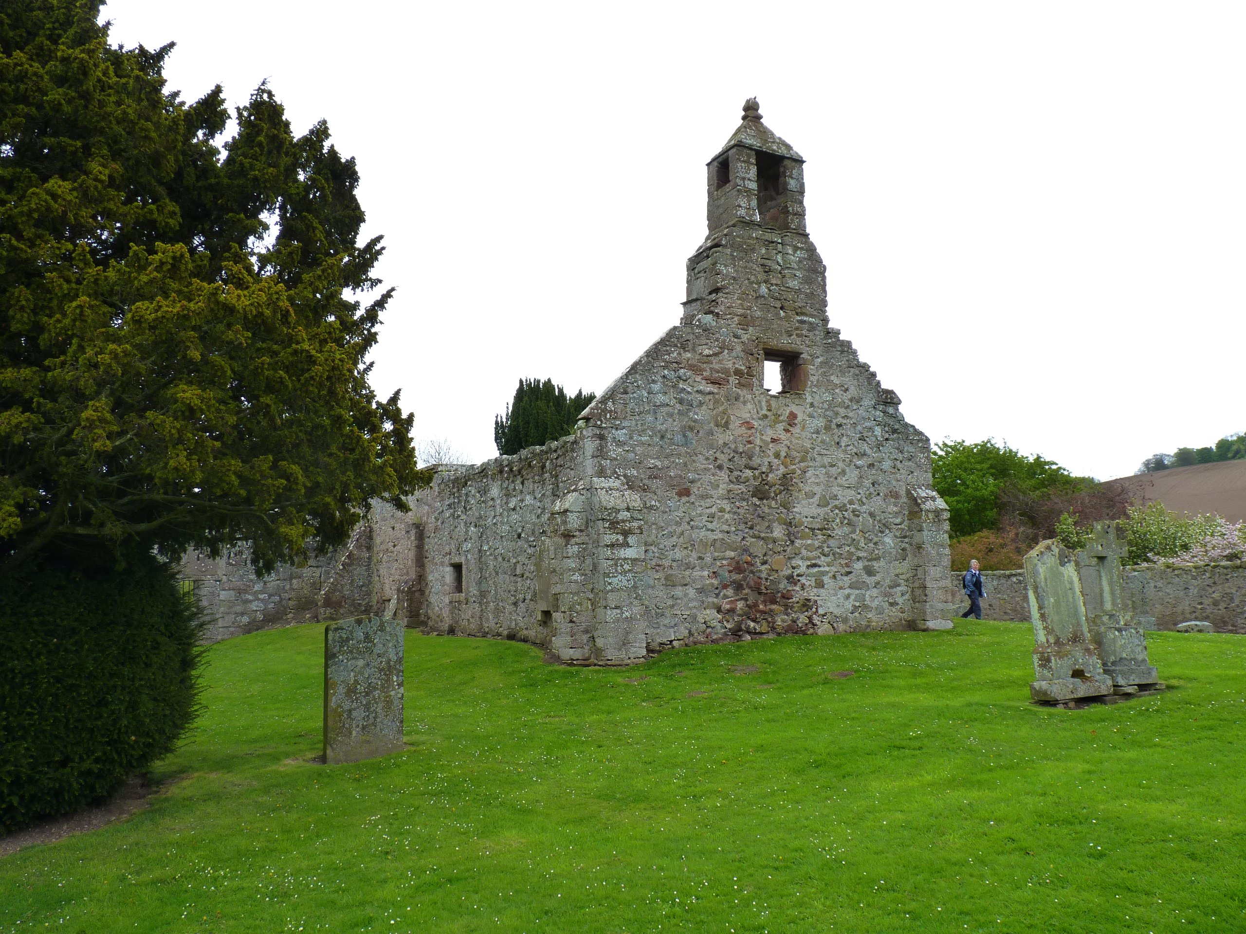
The wood is also steeped in history, with remnants of ancient settlements and traces of old farming practices scattered throughout the area. These historical features add an element of intrigue and provide insight into the human connection to the land over the centuries.

Overall, Crow Wood in Fife offers a peaceful sanctuary away from the hustle and bustle of modern life. Its natural beauty, diverse wildlife, and intriguing history make it a cherished destination for both locals and tourists seeking solace and tranquility in the heart of Scotland.

If you have any feedback on the listing, please let us know in the comments section below.
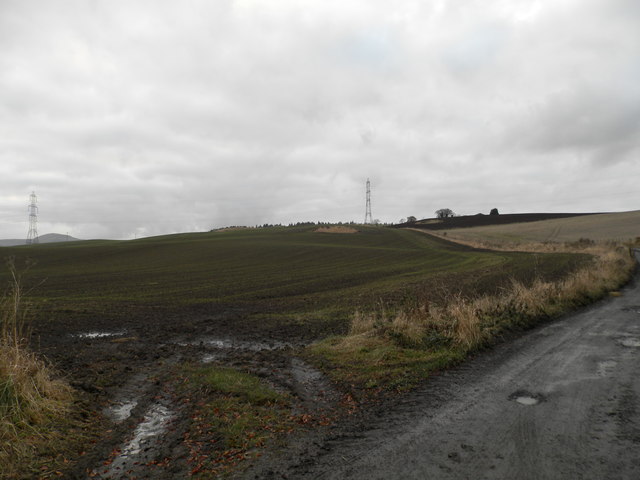
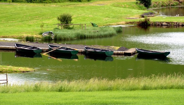
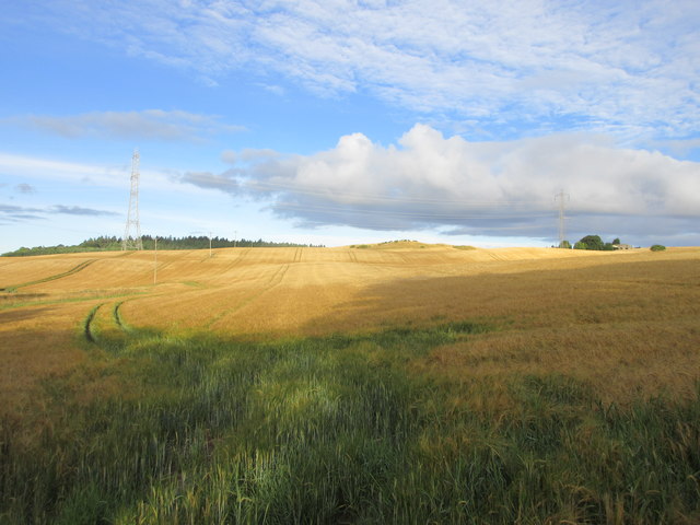
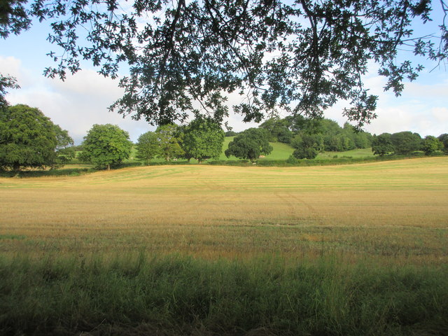
Crow Wood Images

Images are sourced within 2km of 56.32519/-3.230268 or Grid Reference NO2415. Thanks to Geograph Open Source API. All images are credited.

Lochmill Loch Lochmill Loch Reservoir from the hillside to the south.
Lochmill Loch
Lochmill Loch Reservoir from the hillside to the south.
Woodland and heathland on the path The path heading up Lumbennie Hill from the east passing through woodland and scrub.
Woodland and heathland on the path
The path heading up Lumbennie Hill from the east passing through woodland and scrub.
Remains of  Pitcairlie Toll House Hidden from the B936, but visible from the side road.  Close to the Fife / Perth boundary. Originally served the Pitcairley Turnpike Trust.

Milestone Society National ID: FF.PIT
Remains of Pitcairlie Toll House
Hidden from the B936, but visible from the side road. Close to the Fife / Perth boundary. Originally served the Pitcairley Turnpike Trust. Milestone Society National ID: FF.PIT
Track to Easter Colzie
Ploughed field at Easter Colzie
Goldenloch, by Lindores, Fife Goldenloch, also referred to as The Golden Loch, is a fishery nestled near Abdie and Dunbog, by Lindores.
Goldenloch, by Lindores, Fife
Goldenloch, also referred to as The Golden Loch, is a fishery nestled near Abdie and Dunbog, by Lindores.
Field at Colzie Barley field near Easter Colzie.
Field at Colzie
Barley field near Easter Colzie.
Field near Pitcairlie Field on the lower slope of Gowk Hill, south of Pitcairlie.
Field near Pitcairlie
Field on the lower slope of Gowk Hill, south of Pitcairlie.
Cattle at Pitcairlie Horned cattle near the roadside at Pitcairlie.
Cattle at Pitcairlie
Horned cattle near the roadside at Pitcairlie.
Tree in a field Copper beech in the middle of a wheat field east of the B936.
Tree in a field
Copper beech in the middle of a wheat field east of the B936.
B936 near Ormiston The B936 Den of Lindores to Auchtermuchty road, near the entrance to Ormiston Farm.
B936 near Ormiston
The B936 Den of Lindores to Auchtermuchty road, near the entrance to Ormiston Farm.
Golden Loch Golden Loch, viewed from the road to the south-west.
Golden Loch
Golden Loch, viewed from the road to the south-west.
Sign at Weddersbie Forest
Macduff's Cross With Fincraig quarry in the background. Only the pedestal now remains of this former cross, thought to date from before 1059. For more information, visit <span class="nowrap"><a title="https://en.wikipedia.org/wiki/MacDuff%27s_Cross" rel="nofollow ugc noopener" href="https://en.wikipedia.org/wiki/MacDuff%27s_Cross">Link</a><img style="margin-left:2px;" alt="External link" title="External link - shift click to open in new window" src="https://s1.geograph.org.uk/img/external.png" width="10" height="10"/></span>.
Macduff's Cross
With Fincraig quarry in the background. Only the pedestal now remains of this former cross, thought to date from before 1059. For more information, visit LinkExternal link.
Path through Pitmedden Forest The path was strewn with mating toads at the time of my visit, making it difficult to find safe footfall.
Path through Pitmedden Forest
The path was strewn with mating toads at the time of my visit, making it difficult to find safe footfall.
Sign for Ormiston Farm, near Newburgh With Ormiston Farm Cottages in the photograph.
Sign for Ormiston Farm, near Newburgh
With Ormiston Farm Cottages in the photograph.
Path to Lumbennie Hill at Baw Hills Looking westward.
Path to Lumbennie Hill at Baw Hills
Looking westward.
Path to Lumbennie Hill at Craigdownie Looking south-westward.
Path to Lumbennie Hill at Craigdownie
Looking south-westward.
Show me another place!

Crow Wood is located at Grid Ref: NO2415 (Lat: 56.32519, Lng: -3.230268)

Unitary Authority: Fife

Police Authority: Fife

What 3 Words

///ignoring.roadways.blunders. Near Newburgh, Fife

Nearby Locations

Crow Wood Grange Strip

Related Wikis

MacDuff's Cross

MacDuff's Cross, also known as the Cross of MacDuff or Ninewells, is the remains of an ancient white sandstone monument, located on a historic site between...

Glenburnie railway station

Glenburnie railway station was a temporary terminus that served the area of Glenburnie, Fife, Scotland from 1847 to 1848 on the Edinburgh and Northern...

Abdie stone

The Abdie stone is a Class I Pictish stone that stands in Abdie Churchyard, Lindores, Fife, Scotland. == Location == The stone originally stood on the...

Abdie

Abdie is a parish in north-west Fife, Scotland, lying on the south shore of the Firth of Tay on the eastern outskirts of Newburgh, extending about 3 miles...

Nearby Amenities

Located within 500m of 56.32519,-3.230268
The data included in this document is from www.openstreetmap.org. The data is made available under ODbL.

Have you been to Crow Wood?

Leave your review of Crow Wood below (or comments, questions and feedback).