Crow Wood
Wood, Forest in Dumfriesshire
Scotland
Crow Wood
Crow Wood is a picturesque forest located in Dumfriesshire, Scotland. Covering an area of approximately 500 acres, it is a haven for nature enthusiasts and outdoor adventurers alike. The wood is situated near the small village of Thornhill, offering visitors a serene escape from the bustling city life.
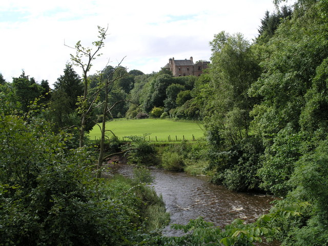
Crow Wood boasts a diverse range of plant and animal species, making it a significant ecological site. The forest is predominantly composed of deciduous trees, including oak, beech, and birch, which create a stunning display of colors during autumn. Walking through the wood, visitors can expect to encounter a variety of wildlife, such as red squirrels, roe deer, and a rich array of bird species.
The wood offers several well-marked trails, providing opportunities for visitors to explore its natural beauty. One of the most popular routes is the Crow Wood Circular, which takes approximately two hours to complete. Along the way, hikers will pass through enchanting glens, bubbling streams, and peaceful meadows, providing a tranquil experience in the heart of nature.
For those seeking a more adventurous experience, Crow Wood offers designated areas for mountain biking and horse riding. The forest's diverse terrain and well-maintained paths make it an ideal destination for these activities.
Crow Wood also holds historical significance, with remnants of old Iron Age forts scattered throughout the forest. These ancient structures provide a glimpse into the area's rich past and add an extra layer of interest for history enthusiasts.
In conclusion, Crow Wood in Dumfriesshire is a captivating forest that offers a range of outdoor activities and a chance to immerse oneself in nature. With its scenic trails, diverse wildlife, and historical sites, it is a must-visit destination for nature lovers and adventure seekers alike.
If you have any feedback on the listing, please let us know in the comments section below.
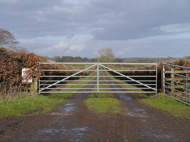
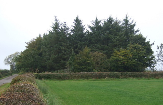
Crow Wood Images
Images are sourced within 2km of 55.009904/-3.1968628 or Grid Reference NY2369. Thanks to Geograph Open Source API. All images are credited.


Crow Wood is located at Grid Ref: NY2369 (Lat: 55.009904, Lng: -3.1968628)
Unitary Authority: Dumfries and Galloway
Police Authority: Dumfries and Galloway
What 3 Words
///fragments.richly.ulterior. Near Eastriggs, Dumfries & Galloway
Nearby Locations
Related Wikis
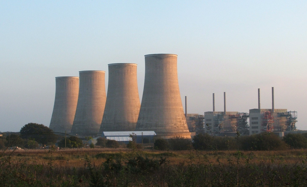
Chapelcross nuclear power station
Chapelcross nuclear power station is a former Magnox nuclear power station undergoing decommissioning. It is located in Annan in Dumfries and Galloway...
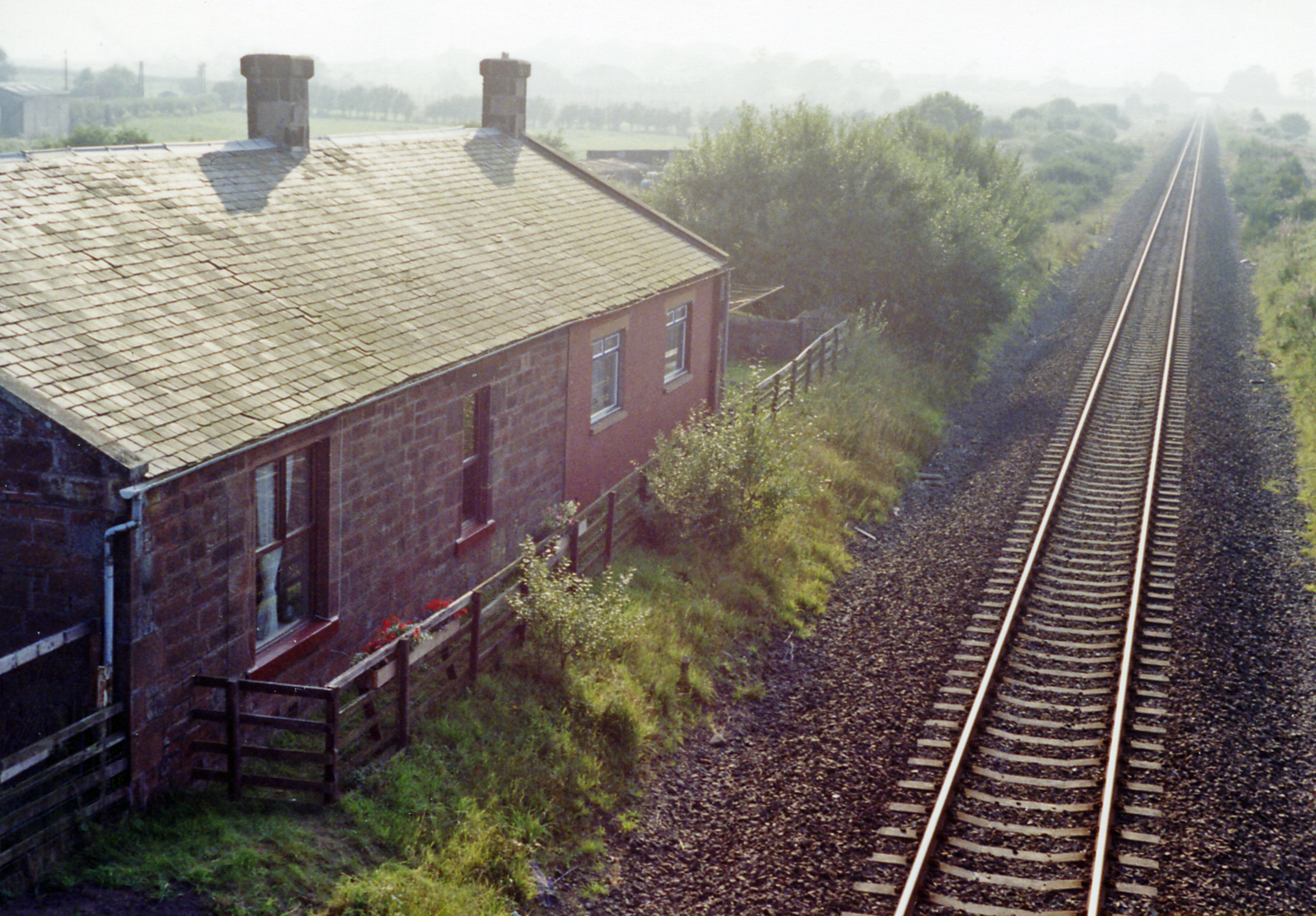
Eastriggs railway station
Eastriggs railway station was a railway station in Dumfries and Galloway between Annan and Gretna. Dumfries and Galloway Council are trying to find funding...

Battle of Dornock
The Battle of Dornock was fought on 25 March 1333 during the Second War of Scottish Independence. == Background == In 1333 Edward Balliol, a claimant to...
Robgill Tower
Robgill Tower is a tower house near Kirkpatrick Fleming on the banks of the river Kirtle. It was one of a number of towers built along the border as protection...
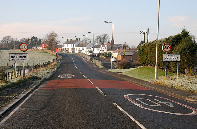
Dornock
Dornock is a small Scottish village in Dumfries and Galloway, situated about 1 mile (1.6 km) west of Eastriggs and 2 miles (3 km) east of Annan. Dornock...
Eastriggs
Eastriggs is a small village located in Dumfries and Galloway in the south of Scotland, the village is located around 2 mi (3.2 km) north of the mud and...
Bonshaw Tower
Bonshaw Tower is an oblong tower house, probably dating from the mid-16th century, one mile south of Kirtlebridge, Dumfries and Galloway, Scotland, above...

Bruce's Cave
Bruce's Cave or the Dunskellie Grotto is a relatively small and mainly artificial cave created in the red sandstone cliffs about 9 metres above the Kirtle...
Nearby Amenities
Located within 500m of 55.009904,-3.1968628Have you been to Crow Wood?
Leave your review of Crow Wood below (or comments, questions and feedback).