Carden Forest

Wood, Forest in Fife

Scotland

Carden Forest

Trigpoint, Keir Brae
Trigpoint, Keir Brae Credit: Becky Williamson

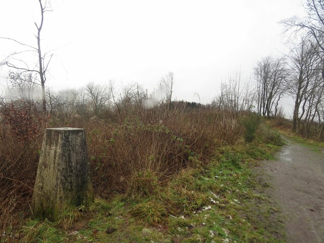
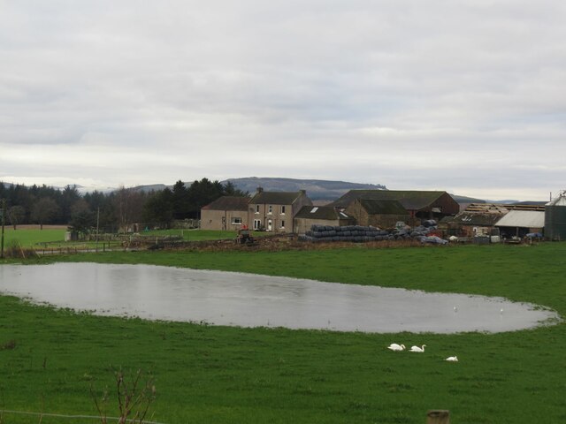
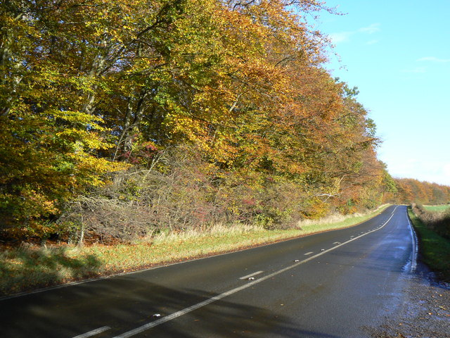
Carden Forest is a picturesque woodland located in Fife, Scotland. With an area of approximately 3,000 acres, it is a significant natural resource in the region. The forest is situated near the village of Cardenden, and it serves as a popular recreational area for locals and visitors alike.

Carden Forest boasts a diverse range of flora and fauna, making it an important habitat for various species. The woodland consists predominantly of native trees such as oak, birch, and pine. These trees provide a haven for numerous bird species, including woodpeckers, finches, and owls. Additionally, the forest supports a rich variety of small mammals, such as badgers, foxes, and squirrels.

The forest offers several well-maintained trails, making it suitable for hiking, walking, and cycling activities. These trails wind through the dense woodland, providing visitors with an opportunity to immerse themselves in the natural beauty of the area. The forest also features picnic areas and viewpoints, allowing visitors to relax and take in the stunning surroundings.

Carden Forest is managed by local authorities, who ensure its preservation and maintenance. They actively engage in conservation efforts to protect the delicate ecosystem and enhance biodiversity within the forest.

Overall, Carden Forest is a tranquil and enchanting woodland, providing a peaceful escape from the hustle and bustle of everyday life. Its natural beauty, diverse wildlife, and recreational opportunities make it a cherished asset for both the local community and nature enthusiasts in Fife.

If you have any feedback on the listing, please let us know in the comments section below.

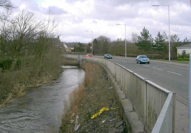
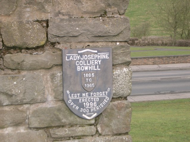
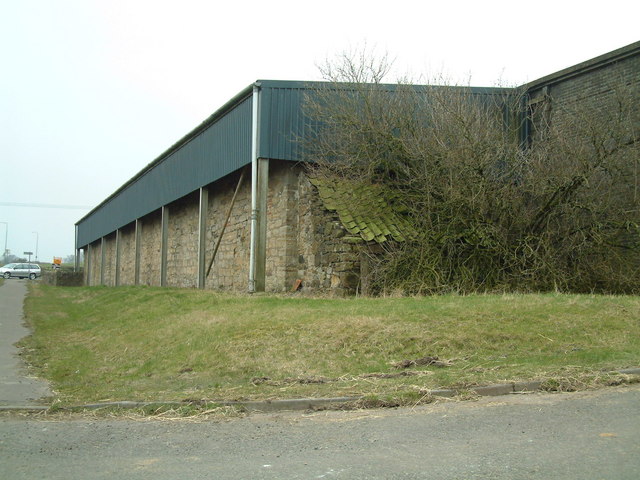
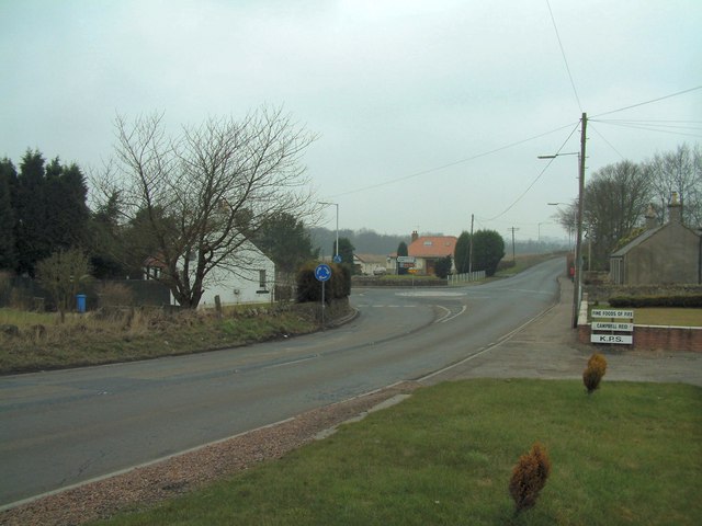
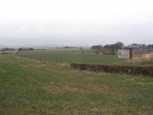
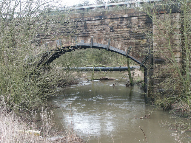
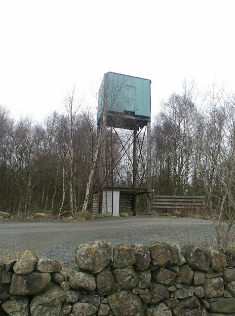
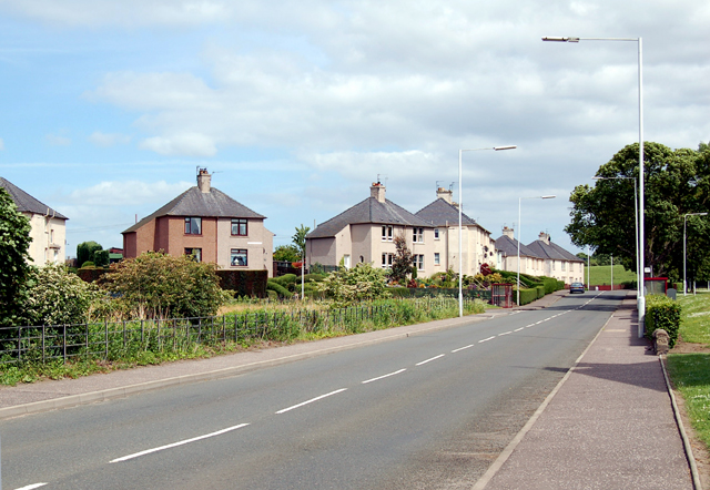
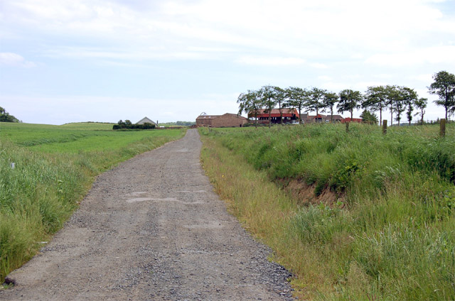
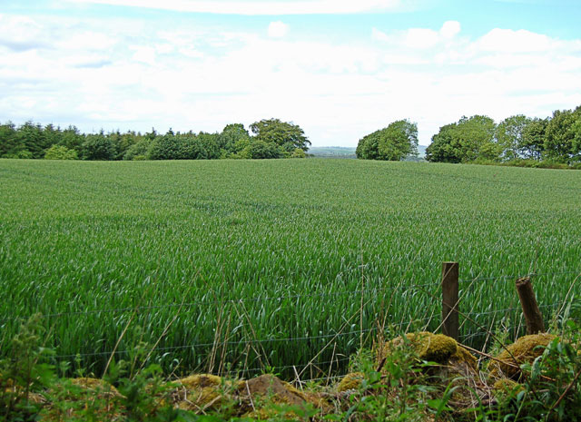
Carden Forest Images

Images are sourced within 2km of 56.147308/-3.2333661 or Grid Reference NT2395. Thanks to Geograph Open Source API. All images are credited.

Trigpoint, Keir Brae
Flooded field at Cardenbarns With three Mute Swans in the foreground.
Flooded field at Cardenbarns
With three Mute Swans in the foreground.
Benchmark, Sunnyside Plantation near Cardenden This Ordnance Survey benchmark took a lot of finding. It was hidden beneath moss and brambles on an old and crumbling wall away from the main path through the woods. It is described on the database at <span class="nowrap"><a title="https://www.bench-marks.org.uk/bm147454" rel="nofollow ugc noopener" href="https://www.bench-marks.org.uk/bm147454">Link</a><img style="margin-left:2px;" alt="External link" title="External link - shift click to open in new window" src="https://s1.geograph.org.uk/img/external.png" width="10" height="10"/></span>.
Benchmark, Sunnyside Plantation near Cardenden
This Ordnance Survey benchmark took a lot of finding. It was hidden beneath moss and brambles on an old and crumbling wall away from the main path through the woods. It is described on the database at LinkExternal link.
Cardenden Cardenden Railway Station car park and new houses.
Cardenden
Cardenden Railway Station car park and new houses.
The River Ore The River Ore where it flows through Bowhill.
The River Ore
The River Ore where it flows through Bowhill.
Plaque Inscription on mining memorial.
Plaque
Inscription on mining memorial.
Barber's Shop Unusual site for a barber's shop on Station Road Cardenden.
Barber's Shop
Unusual site for a barber's shop on Station Road Cardenden.
Cardenden Housing in Cardenden.
Cardenden
Housing in Cardenden.
Cluny Clays Archery Hall Archery (indoors and outdoors) is only one of the many activities available at Cluny Clays. There's a golf course, shooting, restaurant etc too.
Cluny Clays Archery Hall
Archery (indoors and outdoors) is only one of the many activities available at Cluny Clays. There's a golf course, shooting, restaurant etc too.
Dothan Farm Viewed from the north
Dothan Farm
Viewed from the north
Clunie roundabout Mini roundabout at Clunie road junction, viewed from the south
Clunie roundabout
Mini roundabout at Clunie road junction, viewed from the south
The Begg Farm OCCS Looking east from near Dothan Farm, The Begg Farm is not really a farm anymore but an open cast coal pit.  <span class="nowrap"><a title="http://www.ihbrown.com/CoalMining.aspx" rel="nofollow ugc noopener" href="http://www.ihbrown.com/CoalMining.aspx">Link</a><img style="margin-left:2px;" alt="External link" title="External link - shift click to open in new window" src="https://s1.geograph.org.uk/img/external.png" width="10" height="10"/></span>
The Begg Farm OCCS
Looking east from near Dothan Farm, The Begg Farm is not really a farm anymore but an open cast coal pit. LinkExternal link
Bridge across the River Ore Railway bridge carrying the link from Cardenden to Thornton over the fast flowing Ore. A three span bridge. The span on the left is a tunnel to allow access for vehicles to Fosserton.
Bridge across the River Ore
Railway bridge carrying the link from Cardenden to Thornton over the fast flowing Ore. A three span bridge. The span on the left is a tunnel to allow access for vehicles to Fosserton.
Goon Tower A lofted Trap to get those clays out and up high.  Nothing moves in these woods. If it does it is shot.  Littered with orange painted pieces of clay, the upper class twits, and sometimes even the likes of me, can be heard ... "Puuuuuwwwwlllll"
Goon Tower
A lofted Trap to get those clays out and up high. Nothing moves in these woods. If it does it is shot. Littered with orange painted pieces of clay, the upper class twits, and sometimes even the likes of me, can be heard ... "Puuuuuwwwwlllll"
Cardenden The B981 runs east through Cardenden to Cluny and on to Kirkcaldy.
Cardenden
The B981 runs east through Cardenden to Cluny and on to Kirkcaldy.
Cardenbarns
Cardenbarns
Field and trees Taken from the footpath running along the edge of the wood that spans the grid square.
Field and trees
Taken from the footpath running along the edge of the wood that spans the grid square.
Rough Park Plantation The B981 to Kirkcaldy is in the foreground.
Rough Park Plantation
The B981 to Kirkcaldy is in the foreground.
Show me another place!

Carden Forest is located at Grid Ref: NT2395 (Lat: 56.147308, Lng: -3.2333661)

Unitary Authority: Fife

Police Authority: Fife

What 3 Words

///buffoon.tolerates.crackles. Near Cardenden, Fife

Related Wikis

Cardenden railway station

Cardenden railway station is a railway station in Cardenden, Fife, Scotland. The station is managed by ScotRail and is on the Fife Circle Line, 27 miles...
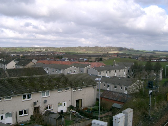
Cardenden

Cardenden ( ) is a Scottish town located on the south bank of the River Ore in the parish of Auchterderran, Fife. It is approximately 4 miles (6.4 km)...

Kinglassie

Kinglassie (Scottish Gaelic: Cill Ghlaise) is a small village and parish in central Fife, Scotland. It is located two miles southwest of Glenrothes. It...

Dundonald Bluebell F.C.

Dundonald Bluebell Football Club are a Scottish football club based in Cardenden, Fife. The team plays in the East of Scotland League Premier Division...

Auchterderran

Auchterderran () is a village in Fife, Scotland. It is sometimes thought as part of the larger village, Cardenden, although Cardenden is part of the parish...

Driftland

Driftland is a purpose-built race track for drifting inspired by the drift tracks of Japan at the Lochgelly Motorsport Complex, Fife, Scotland. The facility...
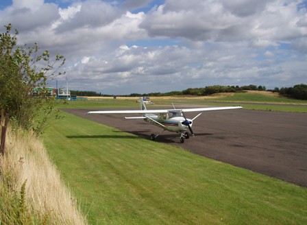
Fife Airport

Fife Airport (ICAO: EGPJ) (Scottish Gaelic: Port-adhair Fìobha) is an unlicensed aerodrome located 2 nautical miles (3.7 km; 2.3 mi) west of Glenrothes...

Raith, Fife

Raith (Scottish Gaelic: ràth, "fort" or "fortified residence"), as an area of Fife, once stretched from the lands of Little Raith (earlier Wester Raith...

Nearby Amenities

Located within 500m of 56.147308,-3.2333661
The data included in this document is from www.openstreetmap.org. The data is made available under ODbL.

Have you been to Carden Forest?

Leave your review of Carden Forest below (or comments, questions and feedback).