Muirton Strip
Wood, Forest in Perthshire
Scotland
Muirton Strip
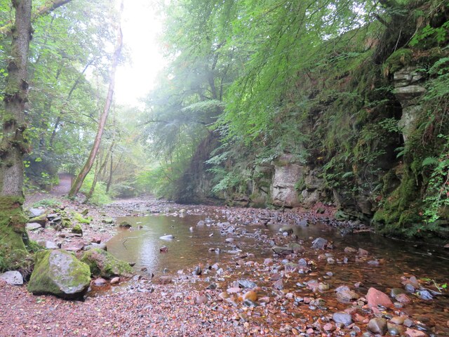
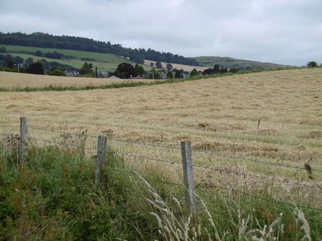
Muirton Strip is a picturesque woodland area located in Perthshire, Scotland. This enchanting forest is nestled amidst the stunning landscapes of the countryside, offering visitors a serene and tranquil escape from the bustling city life.
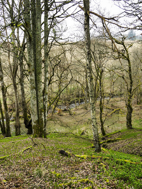
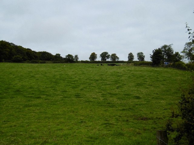
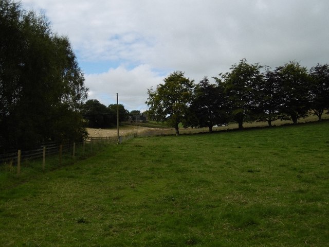
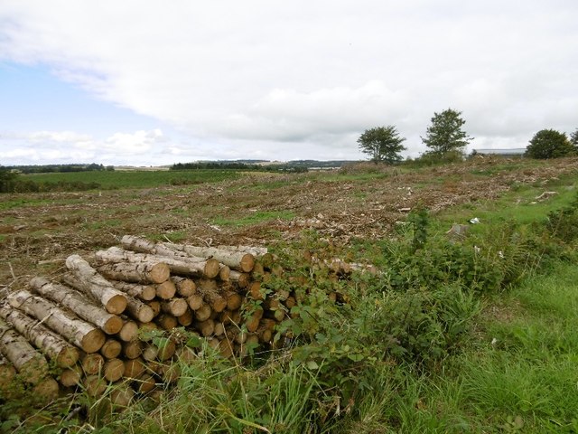
Covering an area of approximately 50 acres, Muirton Strip is predominantly composed of a mix of broadleaf trees such as oak, beech, and birch. The dense foliage creates a lush and green canopy, allowing sunlight to filter through and create a magical atmosphere. The forest floor is also rich in native flora, with bluebells, wild garlic, and ferns adding bursts of color and texture to the woodland.
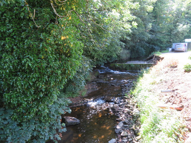
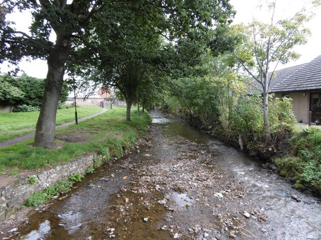
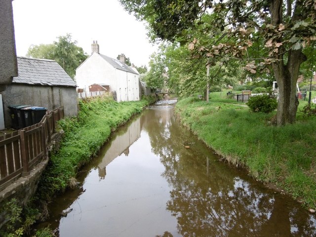
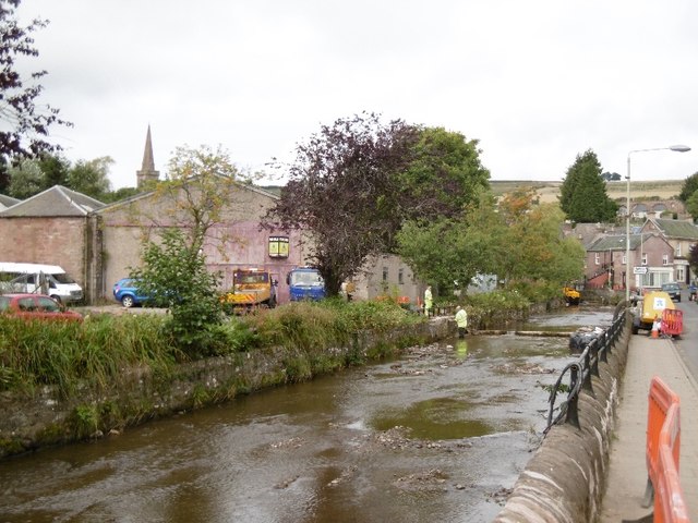
The strip is crisscrossed by a network of well-maintained trails, which provide visitors with the opportunity to explore the area at their own pace. These paths lead to various points of interest, including a small stream that meanders through the forest, adding to the serene ambiance of the surroundings. Birdwatchers will be delighted to spot a variety of avian species such as woodpeckers, tits, and finches, while small mammals like squirrels and rabbits can also be spotted darting among the trees.
Muirton Strip is not only a haven for nature enthusiasts, but also serves as an important habitat for wildlife conservation. The woodland is home to a diverse range of species, including some rare and endangered ones, making it a valuable ecological asset. As such, the area is protected and managed by local authorities to ensure its preservation for future generations to enjoy.
In summary, Muirton Strip is a captivating woodland retreat in Perthshire, offering visitors a chance to immerse themselves in the beauty of nature. With its diverse flora and fauna, well-maintained trails, and serene atmosphere, this forest is a must-visit destination for those seeking tranquility and a connection with the natural world.
If you have any feedback on the listing, please let us know in the comments section below.
Muirton Strip Images
Images are sourced within 2km of 56.617355/-3.2513099 or Grid Reference NO2347. Thanks to Geograph Open Source API. All images are credited.


Muirton Strip is located at Grid Ref: NO2347 (Lat: 56.617355, Lng: -3.2513099)
Unitary Authority: Perth and Kinross
Police Authority: Tayside
What 3 Words
///bulge.launcher.deprives. Near Alyth, Perth & Kinross
Nearby Locations
Related Wikis

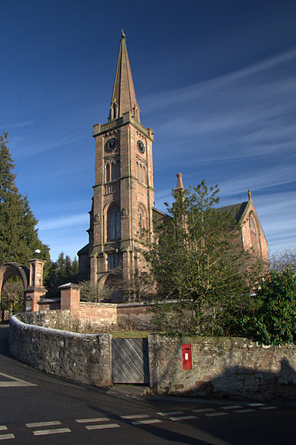
Alyth Town Hall
Alyth Town Hall is a municipal structure in Albert Street in Alyth, Scotland. The structure, which is currently used as a community events venue, is not...
Alyth
Alyth () (Scottish Gaelic: Ailt) is a town in Perth and Kinross, Scotland, five miles (eight kilometres) northeast of Blairgowrie and about 17 miles (27...

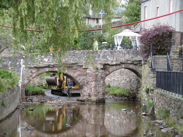
Pack Bridge
Pack Bridge is a bridge in the Scottish town of Alyth, Perth and Kinross. Intended to carry packhorses loaded with panniers across Alyth Burn, it is one...

Alyth market cross
Alyth market cross is a mercat cross located in Alyth, Perth and Kinross, Scotland. Now Category B listed, it dates to 1670. It has a rectangular shaft...

Alyth railway station
The Alyth railway station served the town of Alyth in the Scottish county of Perth and Kinross. The station was the terminus of a branch line from Alyth...
Golf Club Halt railway station (Scotland)
Golf Club Halt was a station which served Alyth Golf Club, in the Scottish county of Perth and Kinross. It was served by trains on the Alyth Railway which...
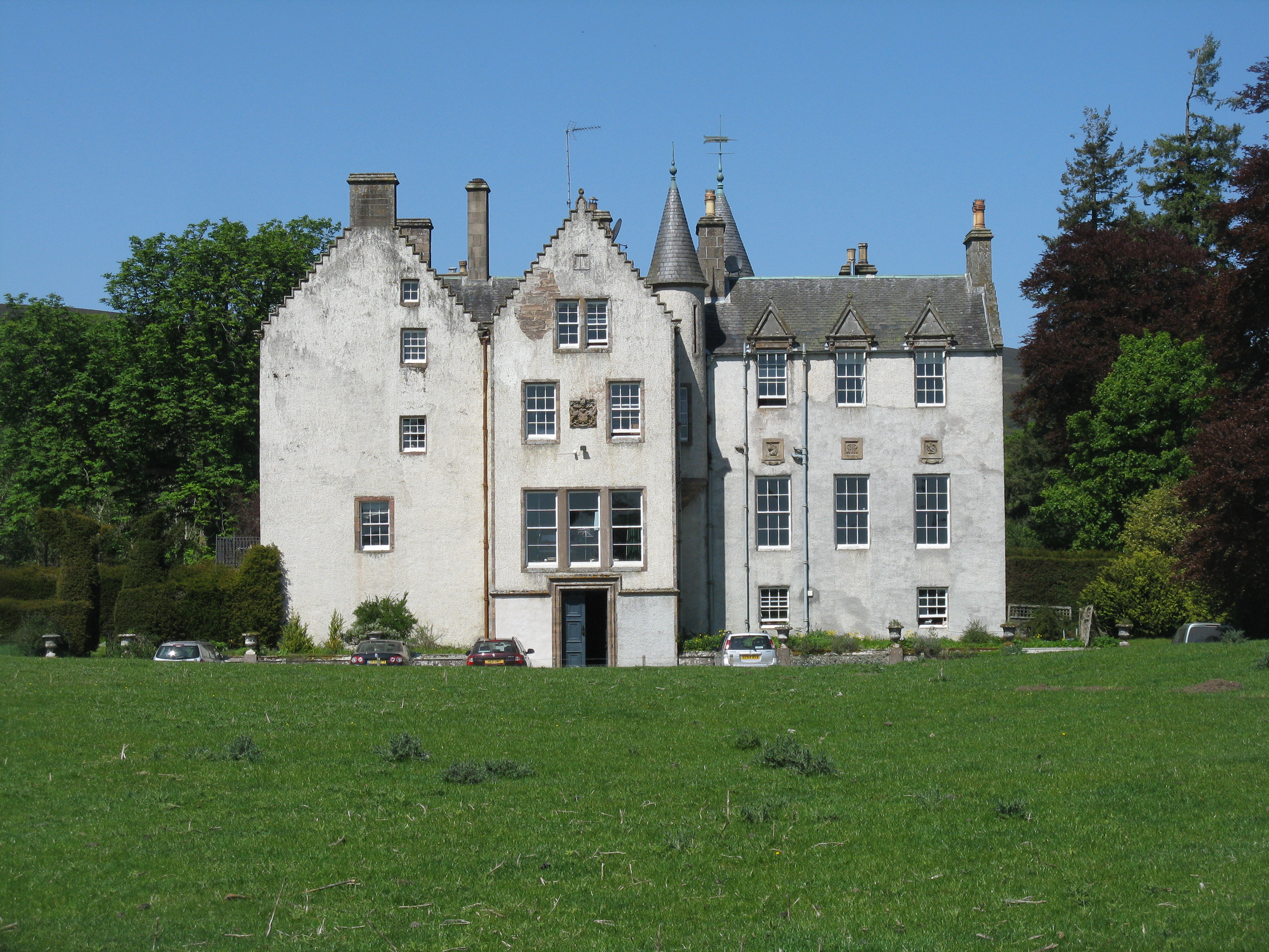
Bamff
Bamff House is the home of the Ramsays of Bamff, and is located within a 1,300-acre (5.3 km2) estate in Perthshire, Scotland. Bamff House began as a fortified...

Strathmore meteorite
The Strathmore meteorite landed in the Strathmore area of Perthshire on 3 December 1917. It was reported to have been in four fragments, subsequently named...
Nearby Amenities
Located within 500m of 56.617355,-3.2513099Have you been to Muirton Strip?
Leave your review of Muirton Strip below (or comments, questions and feedback).