Edston Quarry Plantation

Wood, Forest in Peeblesshire

Scotland

Edston Quarry Plantation

Plaque on the Manor Bridge over the Tweed The plaque is on the SW side of the bridge. Its lettering is not too clear, but reads:

THIS BRIDGE
ERECTED BY THE COUNTY AND PRIVATE SUBSCRIBERS
WAS OPENED BY
MISS PRINGLE KIDD OF WOODHOUSE
AND NAMED BY HER
MANOR BRIDGE
20TH MARCH 1883
Plaque on the Manor Bridge over the Tweed Credit: Jim Barton

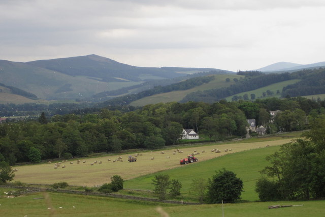
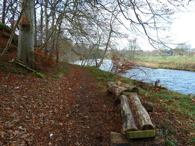
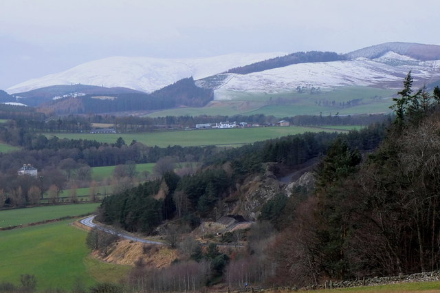
Edston Quarry Plantation, located in Peeblesshire, Scotland, is a picturesque woodland area known for its rich natural beauty and historical significance. Spanning across a vast area, the plantation is nestled within the scenic landscape of the Scottish Borders, offering visitors a tranquil escape from the hustle and bustle of everyday life.

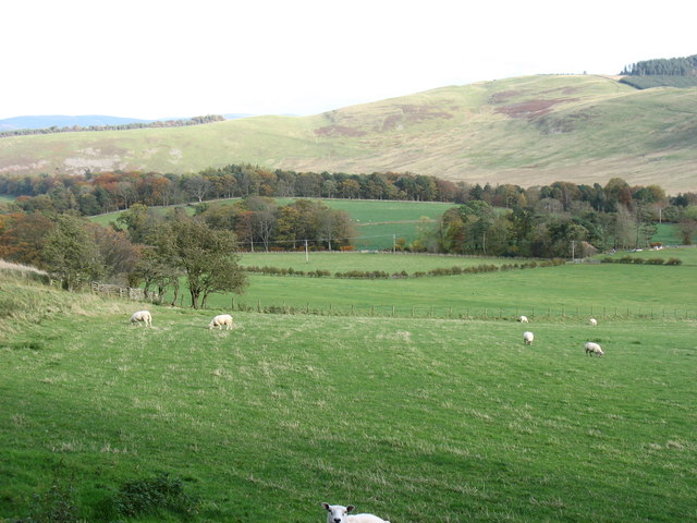
The plantation boasts a diverse range of flora and fauna, with a mix of native Scottish trees such as oak, birch, and pine creating a dense forest canopy. These woodlands provide a habitat for a variety of wildlife, including red squirrels, deer, and a plethora of bird species, making it an ideal destination for nature enthusiasts and birdwatchers.

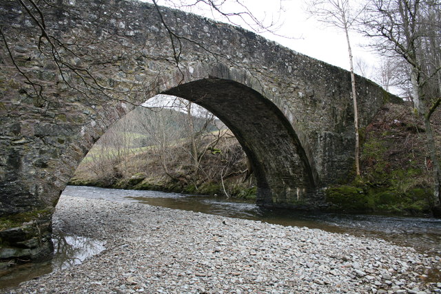
Steeped in history, Edston Quarry Plantation was once an active quarry site, supplying local stone for construction purposes in the 19th and early 20th centuries. The remnants of the quarry can still be seen today, adding an intriguing element to the landscape and offering a glimpse into the region's industrial past.

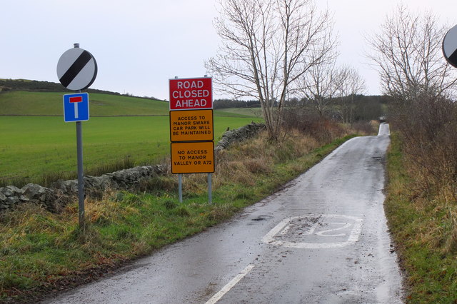
The plantation is open to the public and offers a network of well-maintained walking trails, allowing visitors to explore the woodland at their own pace. The trails are suitable for all abilities and offer breathtaking views of the surrounding countryside, making it a popular spot for hikers and photographers.

Whether you're seeking a peaceful retreat into nature, a historical adventure, or simply a chance to appreciate the beauty of the Scottish countryside, Edston Quarry Plantation is a must-visit destination in Peeblesshire.

If you have any feedback on the listing, please let us know in the comments section below.

Edston Quarry Plantation Images

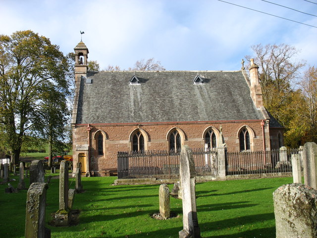
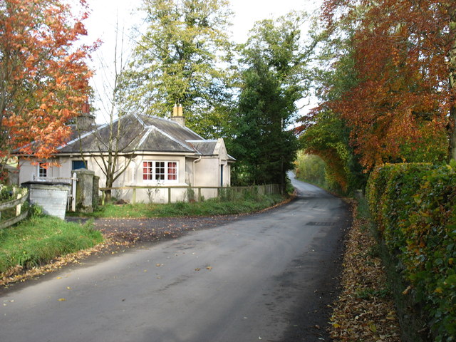
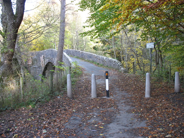
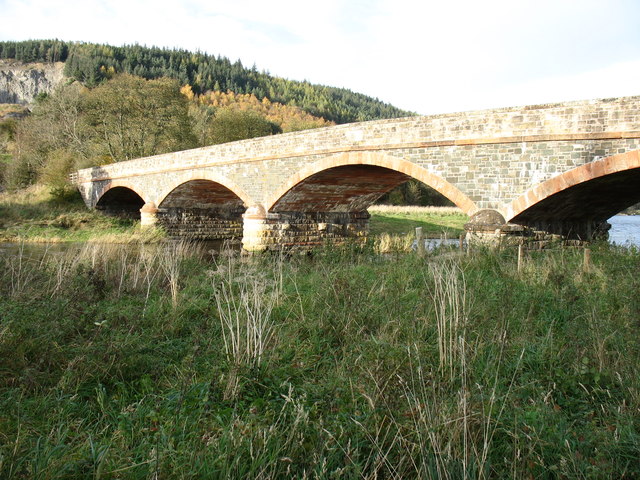
Images are sourced within 2km of 55.644267/-3.2307092 or Grid Reference NT2239. Thanks to Geograph Open Source API. All images are credited.

Plaque on the Manor Bridge over the Tweed The plaque is on the SW side of the bridge. Its lettering is not too clear, but reads:

THIS BRIDGE
ERECTED BY THE COUNTY AND PRIVATE SUBSCRIBERS
WAS OPENED BY
MISS PRINGLE KIDD OF WOODHOUSE
AND NAMED BY HER
MANOR BRIDGE
20TH MARCH 1883
Plaque on the Manor Bridge over the Tweed
The plaque is on the SW side of the bridge. Its lettering is not too clear, but reads: THIS BRIDGE ERECTED BY THE COUNTY AND PRIVATE SUBSCRIBERS WAS OPENED BY MISS PRINGLE KIDD OF WOODHOUSE AND NAMED BY HER MANOR BRIDGE 20TH MARCH 1883
Cutting hay at Edderston near Peebles The red tractor is pulling the baling machine, and two more tractors are loading and carting the bales to the farm nearby. Left of centre is a flock of blackheaded gulls that have been feeding on the cut field. Lee Pen is the hill in the background.
Cutting hay at Edderston near Peebles
The red tractor is pulling the baling machine, and two more tractors are loading and carting the bales to the farm nearby. Left of centre is a flock of blackheaded gulls that have been feeding on the cut field. Lee Pen is the hill in the background.
Manor Brig 18th Century bridge, Manor, Peebles.
Manor Brig
18th Century bridge, Manor, Peebles.
Near Caverhill, Manor Valley Cademuir Hill is on the far side of the valley.
Near Caverhill, Manor Valley
Cademuir Hill is on the far side of the valley.
Manor Church, Kirkton Manor The church bell dates from 1485 and is one of the oldest, if not the oldest, in Scotland.
Manor Church, Kirkton Manor
The church bell dates from 1485 and is one of the oldest, if not the oldest, in Scotland.
A minor road to Peebles This road is seen leaving Kirkton Manor.
A minor road to Peebles
This road is seen leaving Kirkton Manor.
Old Manor Brig, built 1702 This bridge over Manor Water is now structurally unsound, and is open only to pedestrians and cyclists. Vehicular traffic crosses the Tweed nearby, and reaches Peebles on the north side of that river.
Old Manor Brig, built 1702
This bridge over Manor Water is now structurally unsound, and is open only to pedestrians and cyclists. Vehicular traffic crosses the Tweed nearby, and reaches Peebles on the north side of that river.
Manor Bridge This elegant bridge over the River Tweed was built in 1873 to serve the Manor valley, a cul-de-sac about 8 miles long. Prior to that, access was via the Old Manor Brig <a href="https://www.geograph.org.uk/photo/2694754">NT2339 : Old Manor Brig, built 1702</a>, now closed to all except pedestrians and cyclists, and a minor road to Peebles by way of Manor Sware.
Manor Bridge
This elegant bridge over the River Tweed was built in 1873 to serve the Manor valley, a cul-de-sac about 8 miles long. Prior to that, access was via the Old Manor Brig NT2339 : Old Manor Brig, built 1702, now closed to all except pedestrians and cyclists, and a minor road to Peebles by way of Manor Sware.
Log Seat A log seat by the River Tweed nestling in a bed of fallen leaves.  A good place to sit on a fine day and watch salmon leaping.
Log Seat
A log seat by the River Tweed nestling in a bed of fallen leaves. A good place to sit on a fine day and watch salmon leaping.
Road signs near Edderston The Old Manor Brig has been closed to vehicles with apparently little prospect of re-opening, so these new signs clarify the access along the minor road past Edderston farm to the Manor Sware car parks.
Road signs near Edderston
The Old Manor Brig has been closed to vehicles with apparently little prospect of re-opening, so these new signs clarify the access along the minor road past Edderston farm to the Manor Sware car parks.
Winter approaching, Tweeddale Looking from Manor Sware across Edston Quarry and the A72 towards Haswellsykes farm (centre) and snow on the Stobo hills.
Winter approaching, Tweeddale
Looking from Manor Sware across Edston Quarry and the A72 towards Haswellsykes farm (centre) and snow on the Stobo hills.
Manor Parish Church This building dates from 1874.
Manor Parish Church
This building dates from 1874.
Riverside field Grassland beside the Tweed near Lyne Station.
Riverside field
Grassland beside the Tweed near Lyne Station.
Field near Caverhill Ewes and lambs in a large grass field. There is a marker for the Wilton to Grangemouth Ethylene Pipeline in the distance.
Field near Caverhill
Ewes and lambs in a large grass field. There is a marker for the Wilton to Grangemouth Ethylene Pipeline in the distance.
Strip wood on Hunt Hill A well established mature woodland.
Strip wood on Hunt Hill
A well established mature woodland.
Gold postbox, Kirkton Manor Probably an 'unofficial' change of colour in recognition of local resident Scott Brash, who was a member of the winning show-jumping team in the London 2012 Olympics. See <a href="https://www.geograph.org.uk/photo/3071484">NT2540 : Olympic gold pillar box, Peebles High Street</a> for the gold pillar box on Peebles High Street.
Gold postbox, Kirkton Manor
Probably an 'unofficial' change of colour in recognition of local resident Scott Brash, who was a member of the winning show-jumping team in the London 2012 Olympics. See NT2540 : Olympic gold pillar box, Peebles High Street for the gold pillar box on Peebles High Street.
Swallows on the telephone wires near Haswellsykes About two dozen birds here with a similar number on the adjoining wire - the farmland and farmyard must be a good feeding ground for the swallows stoking up before their journey south.
Swallows on the telephone wires near Haswellsykes
About two dozen birds here with a similar number on the adjoining wire - the farmland and farmyard must be a good feeding ground for the swallows stoking up before their journey south.
Footbridge near Lynesmill Footbridge crosses the River Tweed and gives access to paths leading to 
Haswellsykes and Millbraehead
Footbridge near Lynesmill
Footbridge crosses the River Tweed and gives access to paths leading to Haswellsykes and Millbraehead
Show me another place!

Edston Quarry Plantation is located at Grid Ref: NT2239 (Lat: 55.644267, Lng: -3.2307092)

Unitary Authority: The Scottish Borders

Police Authority: The Lothians and Scottish Borders

What 3 Words

///shifting.fight.bloom. Near Peebles, Scottish Borders

Related Wikis

Neidpath Viaduct

Neidpath Viaduct, occasionally known as the Queen's Bridge, consists of eight stone skew arches and was built to carry the Symington to Peebles branch...

Manor Water

Manor Water is a river in the parish of Manor, Peeblesshire in the Scottish Borders. It rises in the Ettrick Forest and flows down through the Maynor valley...

Neidpath Castle

Neidpath Castle is an L-plan rubble-built tower house, overlooking the River Tweed about 1 mile (1.6 km) west of Peebles in the Borders of Scotland. The...

John Buchan Way

The John Buchan Way is a walking route from Peebles to Broughton in the Scottish Borders, a distance of approximately 22 km (13 miles). The route is waymarked...

Nearby Amenities

Located within 500m of 55.644267,-3.2307092
Bus Stop
Edston Quarry
Bus: yes
Naptan AtcoCode: 69001693
Naptan Bearing: SW
Naptan CommonName: Edston Quarry
Naptan Indicator: opp
Naptan Landmark: Quarry
Naptan NaptanCode: 72798958
Naptan Street: A72
Operator: Scottish Borders Council
Public Transport: platform
Ref: 69001693
Source: NaPTAN
Lat/Long: 55.6456482/-3.2267258
Bus Stop
Edston Quarry
Bus: yes
Naptan AtcoCode: 69001694
Naptan Bearing: NE
Naptan CommonName: Edston Quarry
Naptan Indicator: at
Naptan Landmark: Quarry
Naptan NaptanCode: 72798959
Naptan Street: A72
Operator: Scottish Borders Council
Public Transport: platform
Ref: 69001694
Source: NaPTAN
Lat/Long: 55.646138/-3.2265073
Barrier: stile
Lat/Long: 55.6424947/-3.2257514
Barrier: log
Lat/Long: 55.6417798/-3.224345
Power: pole
Lat/Long: 55.6438468/-3.2377097
Power: pole
Lat/Long: 55.6439394/-3.2365114
Power: pole
Lat/Long: 55.6440307/-3.2352773
Power: pole
Lat/Long: 55.6441185/-3.2340726
Power: pole
Lat/Long: 55.6442348/-3.2326682
Power: pole
Lat/Long: 55.643886/-3.231535
Power: pole
Lat/Long: 55.6440212/-3.2296534
Power: pole
Lat/Long: 55.644319/-3.2284971
Power: pole
Lat/Long: 55.6445266/-3.2276709
Power: pole
Lat/Long: 55.6444982/-3.2268026
Power: pole
Lat/Long: 55.6444733/-3.2257829
Power: pole
Lat/Long: 55.6452515/-3.2251291
Power: pole
Lat/Long: 55.6460286/-3.2243617
Power: pole
Lat/Long: 55.6452563/-3.225045
Power: pole
Lat/Long: 55.6453026/-3.2240527
The data included in this document is from www.openstreetmap.org. The data is made available under ODbL.

Have you been to Edston Quarry Plantation?

Leave your review of Edston Quarry Plantation below (or comments, questions and feedback).