Bochel Wood

Wood, Forest in Banffshire

Scotland

Bochel Wood

Corner of plantation, Knockandhu A young Scots pine plantation with some rowan and birch planted along the southern end.
Corner of plantation, Knockandhu Credit: Dorothy Carse

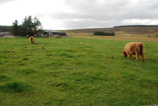
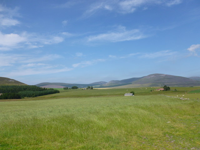
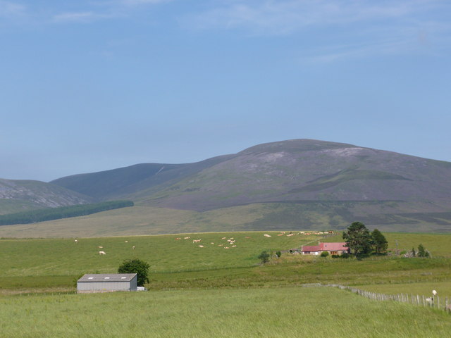
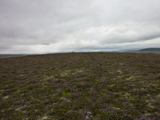
Bochel Wood is a picturesque forest located in Banffshire, Scotland. Covering an area of approximately 500 acres, this enchanting woodland is a haven for nature enthusiasts and outdoor adventurers. Situated on the eastern slopes of the Grampian Mountains, it offers breathtaking views and a tranquil atmosphere.

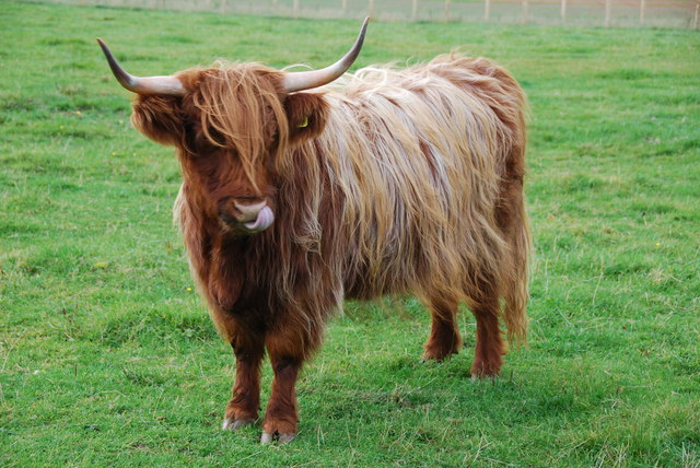
The wood is predominantly composed of native broadleaf trees such as oak, birch, and ash, creating a diverse and vibrant ecosystem. The canopy provides shade and shelter for a wide variety of wildlife, including red squirrels, roe deer, and a plethora of bird species. Visitors may be lucky enough to spot a range of woodland birds, including woodpeckers, owls, and finches.

Bochel Wood offers numerous walking trails and paths that wind their way through the forest, allowing visitors to explore its natural beauty at their own pace. The trails cater to all abilities, from gentle strolls to more challenging hikes, and provide an opportunity to immerse oneself in the peaceful surroundings. Along the way, visitors can enjoy the sound of birdsong, the scent of wildflowers, and the occasional glimpse of a cascading waterfall.

The wood is also home to a small visitor center that provides information on the local flora and fauna, as well as guided tours and educational programs. Furthermore, the wood is well-maintained with picnic areas and benches, making it an ideal spot for a family outing or a peaceful retreat.

Bochel Wood, with its natural splendor and diverse wildlife, offers a serene escape from the bustle of everyday life, providing an opportunity to connect with nature and appreciate the beauty of the Scottish countryside.

If you have any feedback on the listing, please let us know in the comments section below.
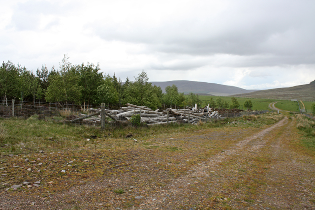
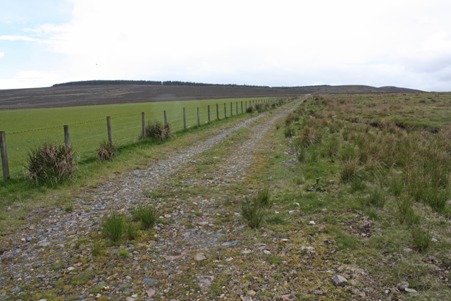
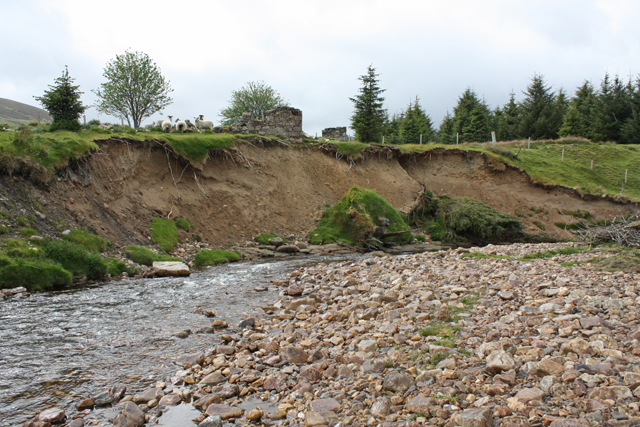
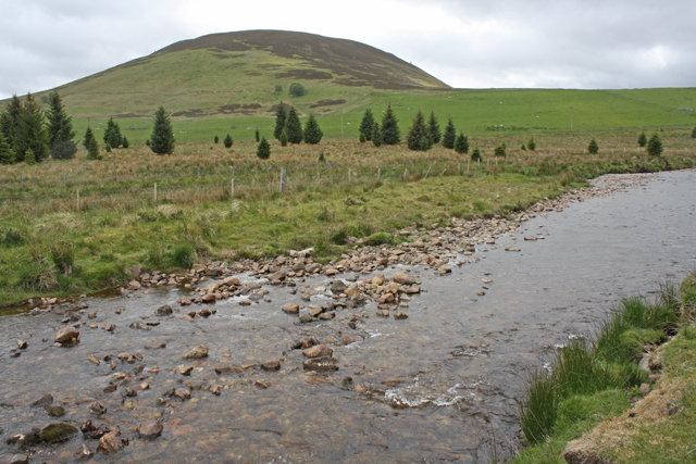
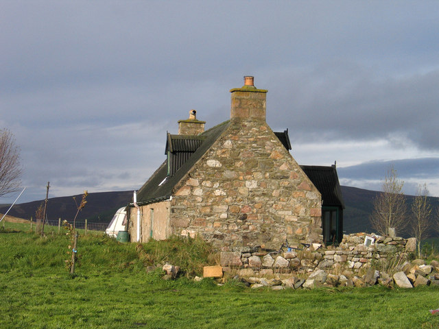
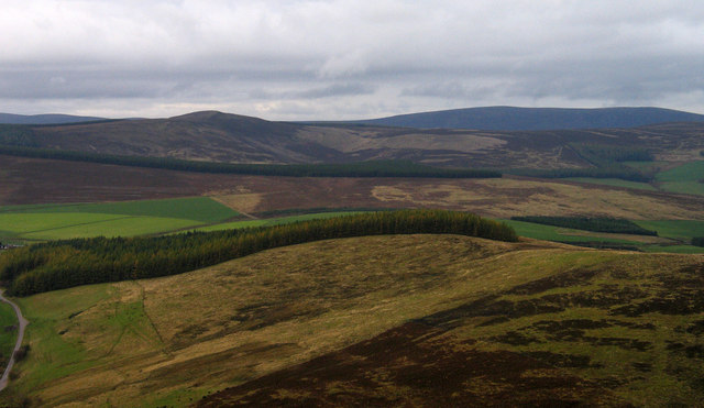
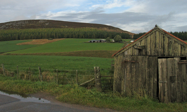
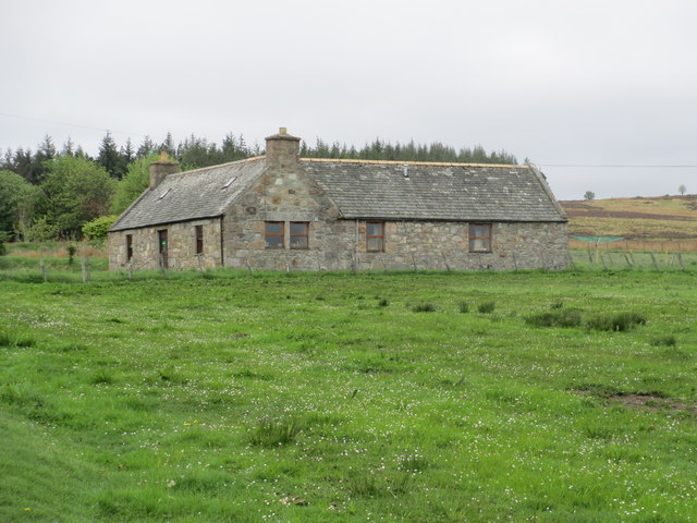
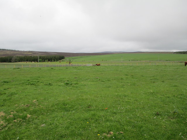
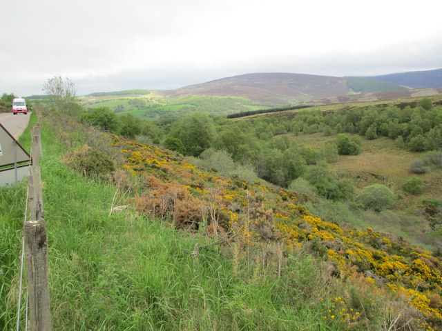
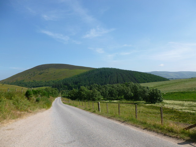
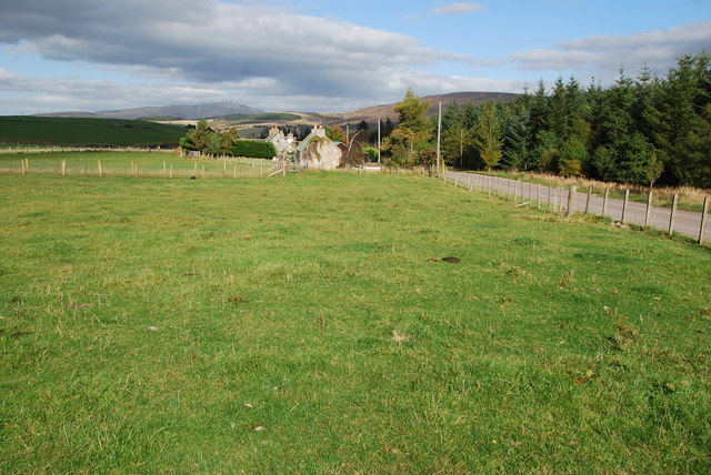
Bochel Wood Images

Images are sourced within 2km of 57.291023/-3.2869206 or Grid Reference NJ2223. Thanks to Geograph Open Source API. All images are credited.

Corner of plantation, Knockandhu A young Scots pine plantation with some rowan and birch planted along the southern end.
Corner of plantation, Knockandhu
A young Scots pine plantation with some rowan and birch planted along the southern end.
Track near Knockandhu Passing grazing fields at Muir of Croftbain.
Track near Knockandhu
Passing grazing fields at Muir of Croftbain.
Erosion, River Livet The ruined buildings of Poolwick are about to fall in.
Erosion, River Livet
The ruined buildings of Poolwick are about to fall in.
River Livet near Glack Looking towards The Bochel.
River Livet near Glack
Looking towards The Bochel.
Badievochel Badievochel is a small cottage lying south-east of The Bochel, a modest hill, but a 'Marilyn'.
Badievochel
Badievochel is a small cottage lying south-east of The Bochel, a modest hill, but a 'Marilyn'.
West ridge of The Bochel The heather and grass slopes of the west ridge of The Bochel descend towards coniferous plantings. The conical hill left of centre is Carn Daimh and the more distant flat-topped hill to the right is Carn a’ Ghille Chearr, one of the Hills of Cromdale.
West ridge of The Bochel
The heather and grass slopes of the west ridge of The Bochel descend towards coniferous plantings. The conical hill left of centre is Carn Daimh and the more distant flat-topped hill to the right is Carn a’ Ghille Chearr, one of the Hills of Cromdale.
Shed and barns at Bochel The farm buildings at the centre of the image are those of Bochel. The hill rising beyond is called The Bochel.
Shed and barns at Bochel
The farm buildings at the centre of the image are those of Bochel. The hill rising beyond is called The Bochel.
A dwelling at Auchnarrow
Heatherhills Fold, Glenlivet Their speciality is Highland cattle.
Heatherhills Fold, Glenlivet
Their speciality is Highland cattle.
Looking towards Croftbain From the B9008.
Looking towards Croftbain
From the B9008.
The Bochel and the Glenlivet road The Bochel is the rounded hill in this view.  Its name probably derives from the Gaelic word Buachaille, meaning shepherd or herdsman.
The Bochel and the Glenlivet road
The Bochel is the rounded hill in this view. Its name probably derives from the Gaelic word Buachaille, meaning shepherd or herdsman.
Upland Pasture Just outside of Knockando on the B9008.
Upland Pasture
Just outside of Knockando on the B9008.
Highland cows and farm This Farm and cows is on the edge of Knockando. A very peaceful scene.
Highland cows and farm
This Farm and cows is on the edge of Knockando. A very peaceful scene.
Highland cow This one seemed friendly enough behind a fence! It even came over for a stroke.
Highland cow
This one seemed friendly enough behind a fence! It even came over for a stroke.
Heatherhills Fold Most of this area is part of the Glenlivet Estate, here in the field to my left they rear Highland Cows. The road is the B9008 just outside of Knockando.
Heatherhills Fold
Most of this area is part of the Glenlivet Estate, here in the field to my left they rear Highland Cows. The road is the B9008 just outside of Knockando.
Braes of Glenlivet Carn an t-Suidhe and Corryhabbie Hill rise above Eskemore.
Braes of Glenlivet
Carn an t-Suidhe and Corryhabbie Hill rise above Eskemore.
Eskemore and Corryhabbie Hill The corrugated iron roof of the house at Eskemore stands out in the summer greenness of the Braes of Glenlivet.  The hill in the background is Corryhabbie Hill.
Eskemore and Corryhabbie Hill
The corrugated iron roof of the house at Eskemore stands out in the summer greenness of the Braes of Glenlivet. The hill in the background is Corryhabbie Hill.
Bochel Summit Narrow path through the heather leading to the summit cairn.
Bochel Summit
Narrow path through the heather leading to the summit cairn.
Show me another place!

Bochel Wood is located at Grid Ref: NJ2223 (Lat: 57.291023, Lng: -3.2869206)

Unitary Authority: Moray

Police Authority: North East

What 3 Words

///spends.social.responded. Near Grantown-on-Spey, Highland

Related Wikis

Clashnoir

Clashnoir is a settlement in Glenlivet, Moray, Scotland, 92 miles north of Edinburgh and 25 miles south of Elgin.

County of Moray

Moray; (Scottish Gaelic: Moireibh [ˈmɤɾʲəv]) or Morayshire, called Elginshire until 1919, is a historic county, registration county and lieutenancy area...

Auchnarrow

Auchnarrow (Scottish Gaelic: Achadh an Arbha) is a village in Moray, Scotland.

Braeval distillery

Braeval distillery is a distiller of Scotch whisky in Chapeltown, Banffshire, Scotland. Founded in 1973 as Braes of Glenlivet, the distillery is owned...

Nearby Amenities

Located within 500m of 57.291023,-3.2869206
Power: pole
Lat/Long: 57.2884049/-3.2882031
Power: pole
Lat/Long: 57.2883497/-3.2878307
Power: pole
Lat/Long: 57.2882462/-3.2871521
Power: pole
Lat/Long: 57.2879375/-3.2861477
Power: pole
Lat/Long: 57.2876241/-3.2850699
Power: pole
Lat/Long: 57.2872941/-3.2839778
Power: pole
Lat/Long: 57.2952485/-3.2868245
Power: pole
Lat/Long: 57.2947948/-3.2874135
Power: pole
Lat/Long: 57.2943334/-3.2880061
Power: pole
Lat/Long: 57.2938778/-3.2885862
Power: pole
Lat/Long: 57.2933709/-3.2892594
Power: pole
Lat/Long: 57.2929133/-3.2898323
Power: pole
Lat/Long: 57.2923638/-3.2904607
Power: pole
Lat/Long: 57.2916314/-3.2902566
Power: pole
Lat/Long: 57.2905227/-3.2905252
Power: pole
Lat/Long: 57.2900274/-3.2898753
Power: pole
Lat/Long: 57.2894411/-3.2890983
Power: pole
Lat/Long: 57.2889796/-3.2886131
Power: pole
Lat/Long: 57.2888006/-3.2883893
Power: pole
Lat/Long: 57.2940625/-3.2909316
Power: pole
Lat/Long: 57.2940287/-3.2905341
Power: pole
Lat/Long: 57.2939852/-3.2899916
The data included in this document is from www.openstreetmap.org. The data is made available under ODbL.

Have you been to Bochel Wood?

Leave your review of Bochel Wood below (or comments, questions and feedback).