Càrn na h-Iolaire

Hill, Mountain in Banffshire

Scotland

Càrn na h-Iolaire

Corner of plantation, Knockandhu A young Scots pine plantation with some rowan and birch planted along the southern end.
Corner of plantation, Knockandhu Credit: Dorothy Carse

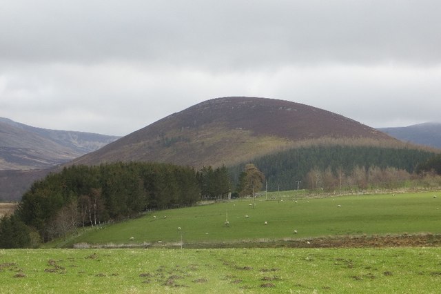
Càrn na h-Iolaire, also known as the Eagle's Crag, is a prominent hill located in Banffshire, Scotland. Standing at an elevation of 620 meters (2,034 feet), it offers stunning panoramic views of the surrounding area and is a popular destination for hikers and nature enthusiasts.

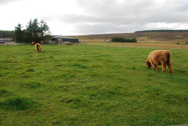
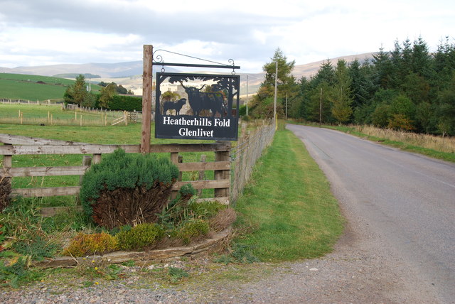
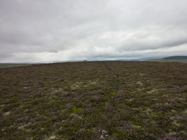
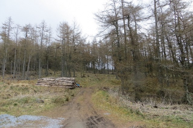
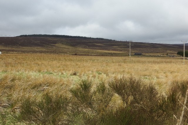
Situated in the eastern part of Banffshire, Càrn na h-Iolaire is part of the Grampian Mountains range. It is characterized by its distinctive rocky outcrops and steep slopes, making it a challenging but rewarding climb. The hill is covered in heather and grasses, providing a vibrant and picturesque landscape, particularly during the summer months.

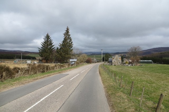
The ascent to the summit of Càrn na h-Iolaire can be approached from various directions, with the most common starting point being the village of Rhynie. The hill is known for its well-defined paths and trails, making it accessible to both experienced hikers and those seeking a moderate climb.

At the top of Càrn na h-Iolaire, hikers are rewarded with breathtaking views of the surrounding countryside, including the Cairngorms National Park to the south and the Moray Firth to the north. On clear days, it is even possible to see as far as the North Sea coastline.

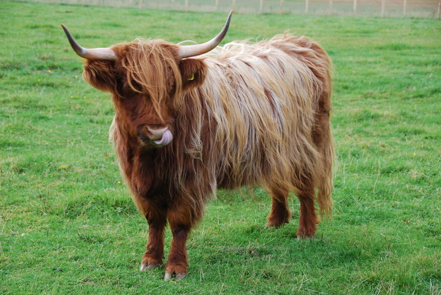
Càrn na h-Iolaire is also home to a diverse range of wildlife, including red deer, mountain hares, and various bird species. The hill provides an excellent opportunity for birdwatching, with golden eagles, peregrine falcons, and red kites frequently spotted in the area.

Overall, Càrn na h-Iolaire offers a challenging but scenic hike, providing visitors with a chance to immerse themselves in the natural beauty of Banffshire's landscape.

If you have any feedback on the listing, please let us know in the comments section below.

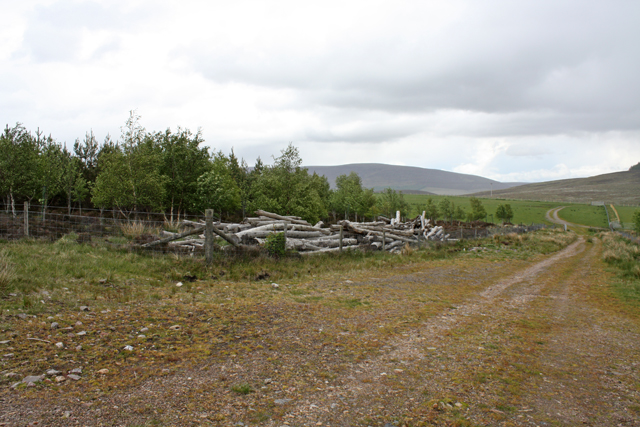
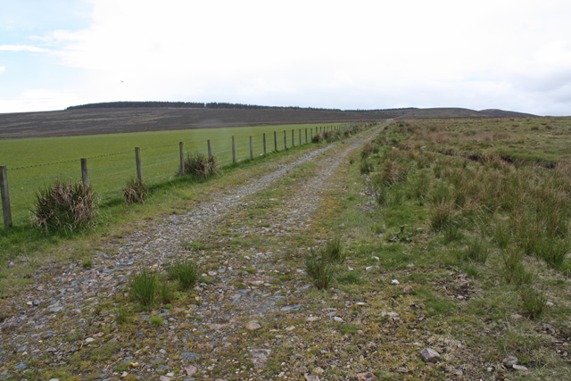
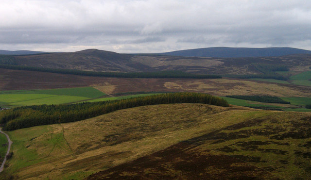
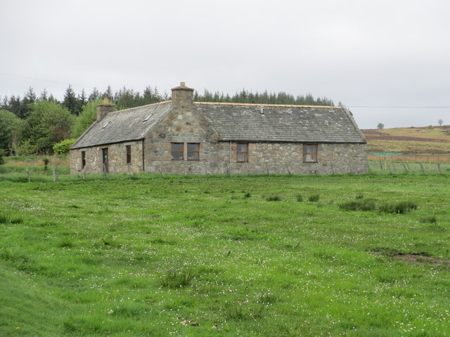
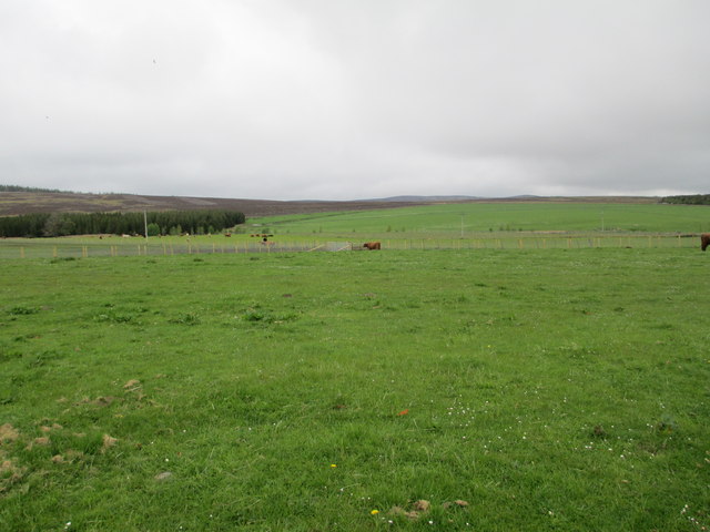
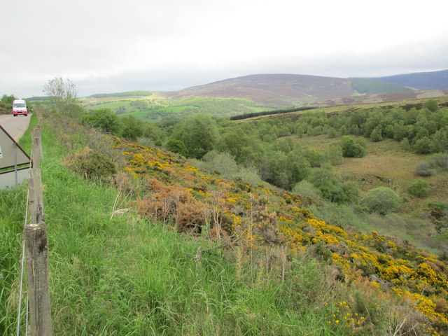
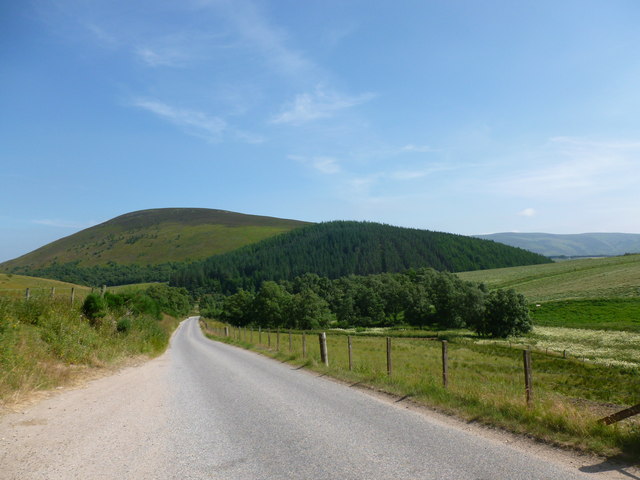
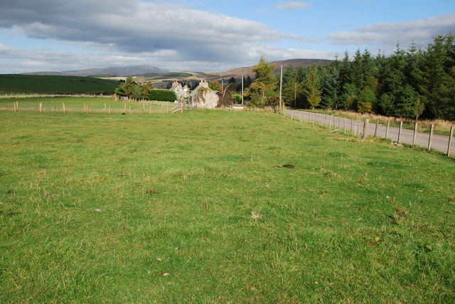
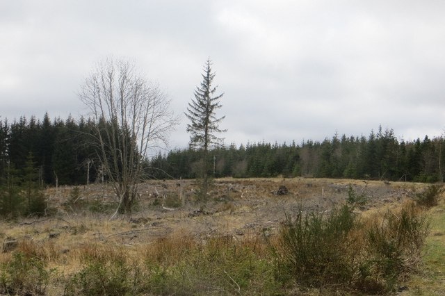
Càrn na h-Iolaire Images

Images are sourced within 2km of 57.298866/-3.2955755 or Grid Reference NJ2223. Thanks to Geograph Open Source API. All images are credited.

Corner of plantation, Knockandhu A young Scots pine plantation with some rowan and birch planted along the southern end.
Corner of plantation, Knockandhu
A young Scots pine plantation with some rowan and birch planted along the southern end.
Track near Knockandhu Passing grazing fields at Muir of Croftbain.
Track near Knockandhu
Passing grazing fields at Muir of Croftbain.
West ridge of The Bochel The heather and grass slopes of the west ridge of The Bochel descend towards coniferous plantings. The conical hill left of centre is Carn Daimh and the more distant flat-topped hill to the right is Carn a’ Ghille Chearr, one of the Hills of Cromdale.
West ridge of The Bochel
The heather and grass slopes of the west ridge of The Bochel descend towards coniferous plantings. The conical hill left of centre is Carn Daimh and the more distant flat-topped hill to the right is Carn a’ Ghille Chearr, one of the Hills of Cromdale.
A dwelling at Auchnarrow
Heatherhills Fold, Glenlivet Their speciality is Highland cattle.
Heatherhills Fold, Glenlivet
Their speciality is Highland cattle.
Looking towards Croftbain From the B9008.
Looking towards Croftbain
From the B9008.
The Bochel and the Glenlivet road The Bochel is the rounded hill in this view.  Its name probably derives from the Gaelic word Buachaille, meaning shepherd or herdsman.
The Bochel and the Glenlivet road
The Bochel is the rounded hill in this view. Its name probably derives from the Gaelic word Buachaille, meaning shepherd or herdsman.
Upland Pasture Just outside of Knockando on the B9008.
Upland Pasture
Just outside of Knockando on the B9008.
Highland cows and farm This Farm and cows is on the edge of Knockando. A very peaceful scene.
Highland cows and farm
This Farm and cows is on the edge of Knockando. A very peaceful scene.
Highland cow This one seemed friendly enough behind a fence! It even came over for a stroke.
Highland cow
This one seemed friendly enough behind a fence! It even came over for a stroke.
Heatherhills Fold Most of this area is part of the Glenlivet Estate, here in the field to my left they rear Highland Cows. The road is the B9008 just outside of Knockando.
Heatherhills Fold
Most of this area is part of the Glenlivet Estate, here in the field to my left they rear Highland Cows. The road is the B9008 just outside of Knockando.
Bochel Summit Narrow path through the heather leading to the summit cairn.
Bochel Summit
Narrow path through the heather leading to the summit cairn.
Carn Tullich Slopes Heathery southern slopes of Carn Tullich from the Bochel path.
Carn Tullich Slopes
Heathery southern slopes of Carn Tullich from the Bochel path.
Woodland, Knockandhu A small conifer plantation.
Woodland, Knockandhu
A small conifer plantation.
Rough grazing, Auchnarrow
Auchnarrow Entering the long settlement of Auchnarrow and Knockandhu on the B9008.
Auchnarrow
Entering the long settlement of Auchnarrow and Knockandhu on the B9008.
Auchnarrow Farmland in Glen Livet with a view of The Bochel.
Auchnarrow
Farmland in Glen Livet with a view of The Bochel.
Woodland, Auchnarrow Part of a large conifer plantation.
Woodland, Auchnarrow
Part of a large conifer plantation.
Show me another place!

Càrn na h-Iolaire is located at Grid Ref: NJ2223 (Lat: 57.298866, Lng: -3.2955755)

Unitary Authority: Moray

Police Authority: North East

What 3 Words

///started.dignitary.schematic. Near Grantown-on-Spey, Highland

Related Wikis

County of Moray

The County of Moray; (Scottish Gaelic: Moireibh [ˈmɤɾʲəv]) or Morayshire, called Elginshire until 1919, is a historic county, registration county and lieutenancy...

Auchnarrow

Auchnarrow (Scottish Gaelic: Achadh an Arbha) is a village in Moray, Scotland.

Church of The Incarnation, Tombae

The Church of The Incarnation was built between 1827 and 1829 as a Roman Catholic church, under the patronage of the Gordon family, in Banffshire, Scotland...

Clashnoir

Clashnoir is a settlement in Glenlivet, Moray, Scotland, 92 miles north of Edinburgh and 25 miles south of Elgin.

Nearby Amenities

Located within 500m of 57.298866,-3.2955755
Carn na h-Iolaire
Corbett: no
Ele: 400
Graham: no
Munro: no
Natural: peak
Lat/Long: 57.2994502/-3.2955961
Ele: 398
Natural: peak
Lat/Long: 57.2994954/-3.2917337
The data included in this document is from www.openstreetmap.org. The data is made available under ODbL.

Have you been to Càrn na h-Iolaire?

Leave your review of Càrn na h-Iolaire below (or comments, questions and feedback).