Knockbathy Wood

Wood, Forest in Fife

Scotland

Knockbathy Wood

Remains of Carden Den Tower The tower was erected between 1432 and 1532 but has long since disappeared. For more information, see <span class="nowrap"><a title="https://canmore.org.uk/site/52960/carden-tower" rel="nofollow ugc noopener" href="https://canmore.org.uk/site/52960/carden-tower">Link</a><img style="margin-left:2px;" alt="External link" title="External link - shift click to open in new window" src="https://s1.geograph.org.uk/img/external.png" width="10" height="10"/></span>.
Remains of Carden Den Tower Credit: Becky Williamson

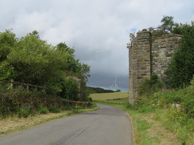
Knockbathy Wood is a charming woodland area located in the region of Fife, Scotland. Known for its tranquil atmosphere and diverse natural beauty, this forest is a popular destination for both locals and tourists seeking solace in nature.

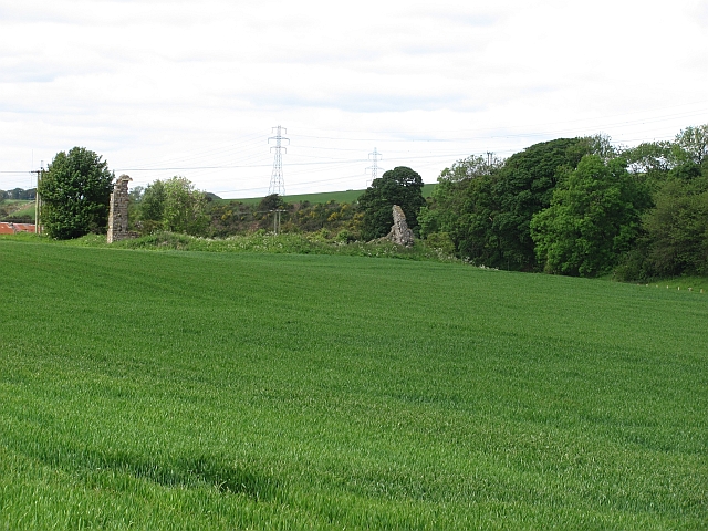
The wood covers an area of approximately 100 acres, providing ample space for visitors to explore and immerse themselves in the sights and sounds of the wilderness. The dominant tree species found here include oak, birch, and beech, creating a lush and vibrant landscape all year round. The forest floor is adorned with an array of wildflowers and ferns, further enhancing its appeal.

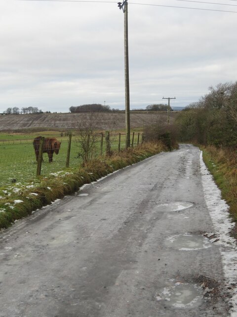
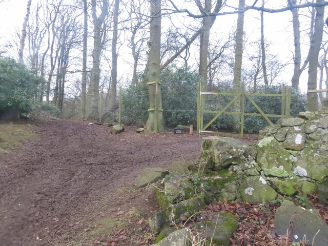
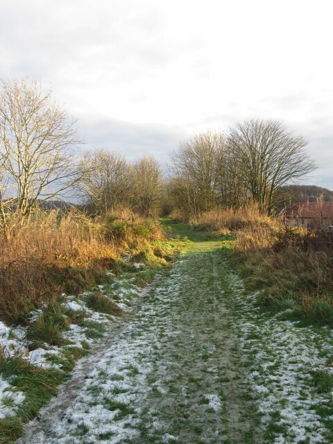
Knockbathy Wood offers a variety of walking trails that cater to different levels of fitness and interest. The paths wind through the woodland, leading visitors to hidden gems such as a picturesque waterfall and a small pond teeming with aquatic life. Birdwatchers will be delighted by the presence of numerous species, including woodpeckers, owls, and warblers.

To ensure the preservation of its natural habitats, Knockbathy Wood is carefully managed by local authorities and conservation organizations. This includes controlled clearing to maintain a healthy ecosystem and the protection of rare plant and animal species.

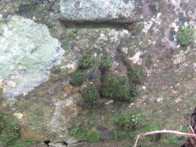
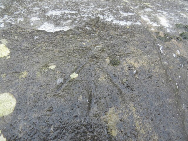
In addition to its natural allure, the wood also holds historical significance. It is believed to have been inhabited by humans since prehistoric times, and evidence of Bronze Age settlements has been discovered within its boundaries.

Overall, Knockbathy Wood is a captivating destination that offers a peaceful retreat for those seeking a connection with nature. Its rich biodiversity, scenic trails, and historical value make it a must-visit location for nature enthusiasts and history buffs alike.

If you have any feedback on the listing, please let us know in the comments section below.

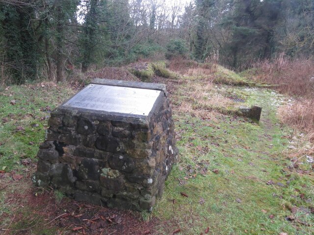
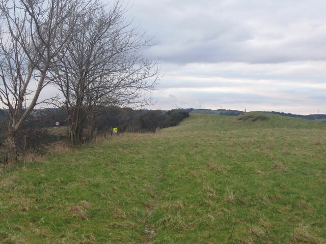
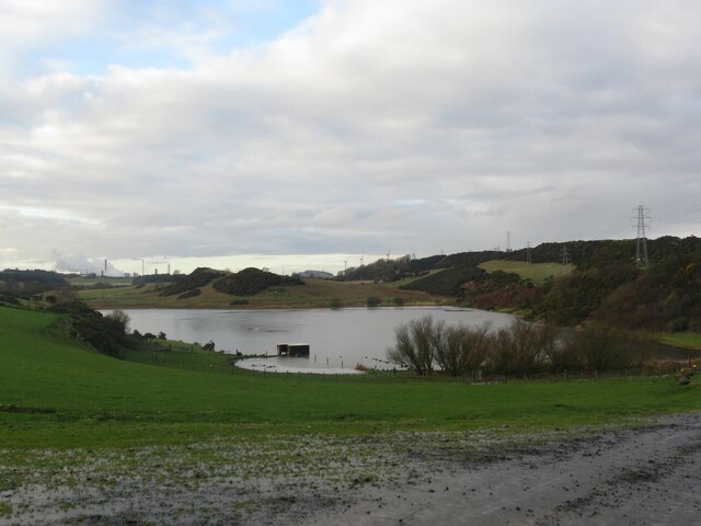
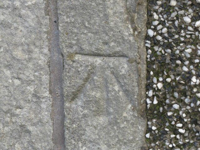
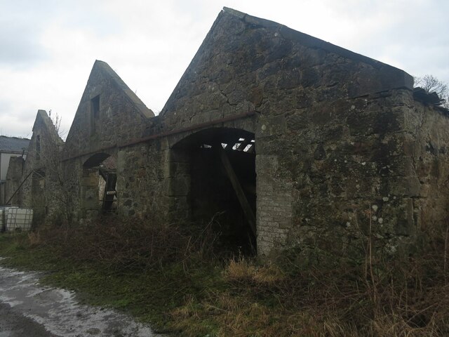
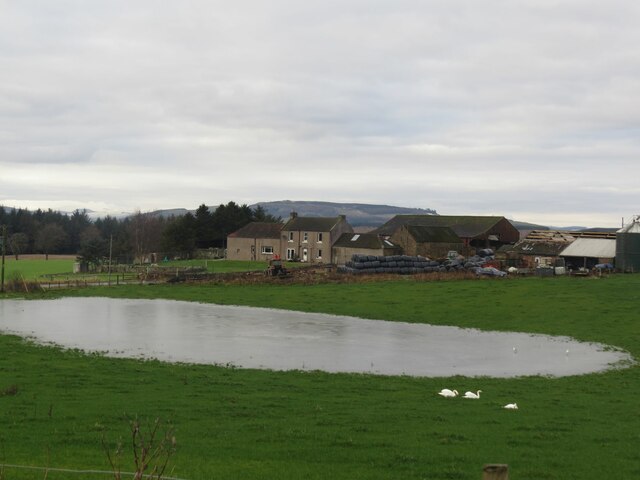
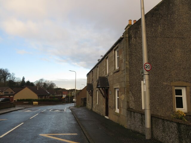
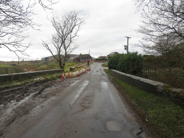
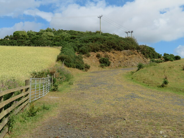
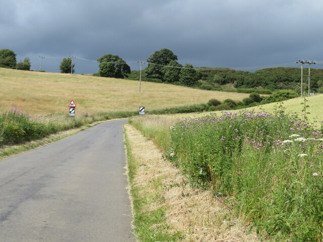
Knockbathy Wood Images

Images are sourced within 2km of 56.115854/-3.250871 or Grid Reference NT2292. Thanks to Geograph Open Source API. All images are credited.

Remains of Carden Den Tower The tower was erected between 1432 and 1532 but has long since disappeared. For more information, see <span class="nowrap"><a title="https://canmore.org.uk/site/52960/carden-tower" rel="nofollow ugc noopener" href="https://canmore.org.uk/site/52960/carden-tower">Link</a><img style="margin-left:2px;" alt="External link" title="External link - shift click to open in new window" src="https://s1.geograph.org.uk/img/external.png" width="10" height="10"/></span>.
Remains of Carden Den Tower
The tower was erected between 1432 and 1532 but has long since disappeared. For more information, see LinkExternal link.
Fields parallel to B925 near Auchtertool
Camilla Loch
Camilla Loch
Benchmark, Lambswell Wood Ordnance Survey benchmark, described on database at <span class="nowrap"><a title="https://www.bench-marks.org.uk/bm147458" rel="nofollow ugc noopener" href="https://www.bench-marks.org.uk/bm147458">Link</a><img style="margin-left:2px;" alt="External link" title="External link - shift click to open in new window" src="https://s1.geograph.org.uk/img/external.png" width="10" height="10"/></span>. sEE ALSO <a href="https://www.geograph.org.uk/photo/7005710">NT2391 : Lambswell Wood, near Newbigging</a>.
Benchmark, Lambswell Wood
Ordnance Survey benchmark, described on database at LinkExternal link. sEE ALSO NT2391 : Lambswell Wood, near Newbigging.
Benchmark, West Balbarton farm Ordnance Survey benchmark, described on database at <span class="nowrap"><a title="https://www.bench-marks.org.uk/bm158520" rel="nofollow ugc noopener" href="https://www.bench-marks.org.uk/bm158520">Link</a><img style="margin-left:2px;" alt="External link" title="External link - shift click to open in new window" src="https://s1.geograph.org.uk/img/external.png" width="10" height="10"/></span>. See also <a href="https://www.geograph.org.uk/photo/7005716">NT2391 : West Balbarton Farm buildings, near Newbigging</a>.
Benchmark, West Balbarton farm
Ordnance Survey benchmark, described on database at LinkExternal link. See also NT2391 : West Balbarton Farm buildings, near Newbigging.
Icy farm track, Little Gleniston
Rivet benchmark, Shawsmill Bridge Ordnance Survey rivet benchmark, described on database at <span class="nowrap"><a title="https://www.bench-marks.org.uk/bm147452" rel="nofollow ugc noopener" href="https://www.bench-marks.org.uk/bm147452">Link</a><img style="margin-left:2px;" alt="External link" title="External link - shift click to open in new window" src="https://s1.geograph.org.uk/img/external.png" width="10" height="10"/></span>. See also <a href="https://www.geograph.org.uk/photo/7007009">NT2293 : Shawsmill Bridge, near Cardenden</a>.
Rivet benchmark, Shawsmill Bridge
Ordnance Survey rivet benchmark, described on database at LinkExternal link. See also NT2293 : Shawsmill Bridge, near Cardenden.
Lambswell Wood, near Newbigging There is an Ordnance Survey benchmark on this crumbling wall in the wood (just visible if you look closely). See <a href="https://www.geograph.org.uk/photo/7005679">NT2391 : Benchmark, Lambswell Wood</a>.
Lambswell Wood, near Newbigging
There is an Ordnance Survey benchmark on this crumbling wall in the wood (just visible if you look closely). See NT2391 : Benchmark, Lambswell Wood.
Benchmark, former Auchtertool Warehouse Ordnance Survey benchmark, described on database at <span class="nowrap"><a title="https://www.bench-marks.org.uk/bm140793" rel="nofollow ugc noopener" href="https://www.bench-marks.org.uk/bm140793">Link</a><img style="margin-left:2px;" alt="External link" title="External link - shift click to open in new window" src="https://s1.geograph.org.uk/img/external.png" width="10" height="10"/></span>. See also <a href="https://www.geograph.org.uk/photo/7006979">NT2190 : Former Auchtertool Warehouse</a>.
Benchmark, former Auchtertool Warehouse
Ordnance Survey benchmark, described on database at LinkExternal link. See also NT2190 : Former Auchtertool Warehouse.
West Balbarton Farm buildings, near Newbigging There is an Ordnance Survey benchmark on this farm building.
West Balbarton Farm buildings, near Newbigging
There is an Ordnance Survey benchmark on this farm building.
Former Kirkcaldy District Railway line near Auchtertool
Flooded field at Cardenbarns With three Mute Swans in the foreground.
Flooded field at Cardenbarns
With three Mute Swans in the foreground.
Former Auchtertool Warehouse There is an Ordnance Survey benchmark on this building, visible on stone level with bottom of window between window and lamppost. See <a href="https://www.geograph.org.uk/photo/7005714">NT2190 : Benchmark, former Auchtertool Warehouse</a>.
Former Auchtertool Warehouse
There is an Ordnance Survey benchmark on this building, visible on stone level with bottom of window between window and lamppost. See NT2190 : Benchmark, former Auchtertool Warehouse.
Shawsmill Bridge, near Cardenden There is an Ordnance Survey rivet benchmark on this bridge, which spans the Gelly Burn. See <a href="https://www.geograph.org.uk/photo/7005707">NT2293 : Rivet benchmark, Shawsmill Bridge</a>.
Shawsmill Bridge, near Cardenden
There is an Ordnance Survey rivet benchmark on this bridge, which spans the Gelly Burn. See NT2293 : Rivet benchmark, Shawsmill Bridge.
Farm track and outcrop at Auchtertool With LT power cables and a wheat crop on the left.
Farm track and outcrop at Auchtertool
With LT power cables and a wheat crop on the left.
Bend in the road from Auchtertool to Lochgelly Heading north through farmland.
Bend in the road from Auchtertool to Lochgelly
Heading north through farmland.
Railway bridge remains Part of the North British Railway, Kirkcaldy and District line - never a mainline! <span class="nowrap"><a title="https://www.railscot.co.uk/locations/A/Auchtertool_Goods/" rel="nofollow ugc noopener" href="https://www.railscot.co.uk/locations/A/Auchtertool_Goods/">Link</a><img style="margin-left:2px;" alt="External link" title="External link - shift click to open in new window" src="https://s1.geograph.org.uk/img/external.png" width="10" height="10"/></span>
Railway bridge remains
Part of the North British Railway, Kirkcaldy and District line - never a mainline! LinkExternal link
Auchtertool village welcome sign Camilla, and Camilla Road.
Auchtertool village welcome sign
Camilla, and Camilla Road.
Show me another place!

Knockbathy Wood is located at Grid Ref: NT2292 (Lat: 56.115854, Lng: -3.250871)

Unitary Authority: Fife

Police Authority: Fife

What 3 Words

///tiger.reclaimed.challenge. Near Cardenden, Fife

Related Wikis

Raith, Fife

Raith (Scottish Gaelic: rĂ th, "fort" or "fortified residence"), as an area of Fife, once stretched from the lands of Little Raith (earlier Wester Raith...

Hallyards Castle

Hallyards Castle (Scots: Hall yairds "the yards at the hall"), located to the north-west of the village of Auchtertool, is reputed to have been a hunting...
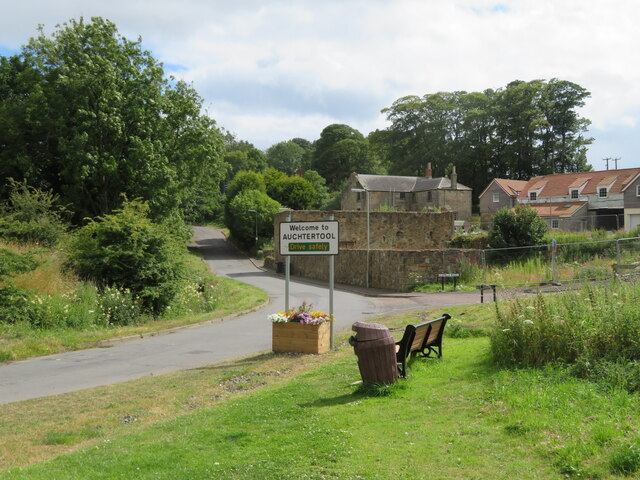
Auchtertool

Auchtertool ( ; Scottish Gaelic: Uachdar Tuil) is a small village in Fife, Scotland. It is 4 miles west of Kirkcaldy. The name is from the Gaelic uachdar...

Cardenden

Cardenden ( ) is a Scottish town located on the south bank of the River Ore in the parish of Auchterderran, Fife. It is approximately 4 miles (6.4 km)...

Driftland

Driftland is a purpose-built race track for drifting inspired by the drift tracks of Japan at the Lochgelly Motorsport Complex, Fife, Scotland. The facility...

Loch Gelly

Loch Gelly (Scottish Gaelic: Loch Gheallaidh) is a small loch in Fife, Scotland lying approximately 1.5 km to the south east of the town of Lochgelly which...

Kirkcaldy and Cowdenbeath (UK Parliament constituency)

Kirkcaldy and Cowdenbeath is a county constituency representing the areas around the towns of Kirkcaldy and Cowdenbeath, in Fife, Scotland, in the House...

Dundonald Bluebell F.C.

Dundonald Bluebell Football Club are a Scottish football club based in Cardenden, Fife. The team plays in the East of Scotland League Premier Division...

Nearby Amenities

Located within 500m of 56.115854,-3.250871
Power: pole
Lat/Long: 56.1133874/-3.2570618
Power: pole
Lat/Long: 56.1136628/-3.2558451
Power: pole
Lat/Long: 56.1137734/-3.2567511
Power: pole
Lat/Long: 56.1139222/-3.2546894
Power: pole
Lat/Long: 56.1141445/-3.2546824
Power: pole
Lat/Long: 56.1141891/-3.2534937
Power: pole
Lat/Long: 56.1147156/-3.2527293
Power: pole
Lat/Long: 56.1147345/-3.2509955
Power: pole
Lat/Long: 56.1150268/-3.2506247
Power: pole
Lat/Long: 56.1150641/-3.2494794
Power: pole
Lat/Long: 56.1154468/-3.2484683
Power: pole
Lat/Long: 56.1156734/-3.2463195
Power: pole
Lat/Long: 56.115909/-3.2472366
Power: pole
Lat/Long: 56.1162557/-3.2453274
Power: pole
Lat/Long: 56.1166045/-3.2434101
Generator Method: wind_turbine
Generator Output Electricity: 2.3 MW
Generator Source: wind
Generator Type: horizontal_axis
Power: generator
Lat/Long: 56.1132559/-3.2516875
Power: pole
Lat/Long: 56.1165112/-3.2583826
Power: pole
Lat/Long: 56.1170711/-3.258023
Power: pole
Lat/Long: 56.117418/-3.2573605
Power: pole
Lat/Long: 56.1184199/-3.2550779
Power: pole
Lat/Long: 56.1186711/-3.2545334
Power: pole
Lat/Long: 56.1189821/-3.2531253
Power: pole
Lat/Long: 56.1192901/-3.2516956
Power: pole
Lat/Long: 56.1195996/-3.2503089
Power: pole
Lat/Long: 56.1199121/-3.2489222
Power: pole
Lat/Long: 56.1193504/-3.2557176
Power: pole
Lat/Long: 56.1188284/-3.2552811
Power: pole
Lat/Long: 56.1179427/-3.2548423
Power: pole
Lat/Long: 56.1172083/-3.2545783
Generator Method: wind_turbine
Generator Source: wind
Power: generator
Lat/Long: 56.1134436/-3.2458806
The data included in this document is from www.openstreetmap.org. The data is made available under ODbL.

Have you been to Knockbathy Wood?

Leave your review of Knockbathy Wood below (or comments, questions and feedback).