Arter Brae
Wood, Forest in Peeblesshire
Scotland
Arter Brae

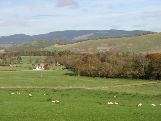
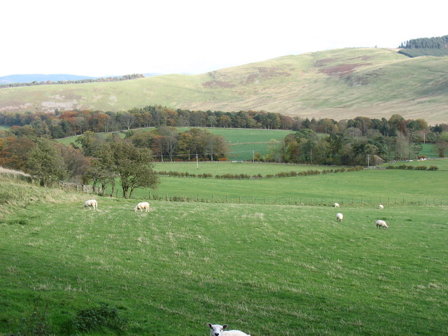
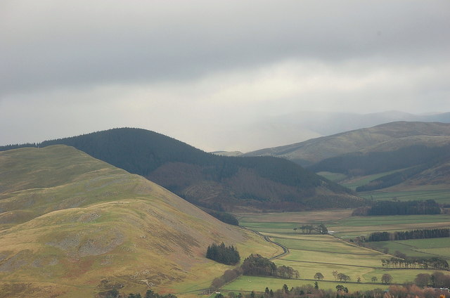
Arter Brae, located in Peeblesshire, Scotland, is a picturesque wood and forest area that offers a serene and captivating natural environment. Covering a vast expanse of land, it is a haven for nature enthusiasts and outdoor adventurers alike.
The woodlands of Arter Brae are home to a diverse range of flora and fauna, providing a rich and vibrant ecosystem. Tall, majestic trees such as oak, beech, and birch dominate the landscape, creating a dense canopy that provides shade and shelter to a variety of wildlife. The forest floor is adorned with a carpet of wildflowers, ferns, and moss, adding to the enchanting atmosphere.
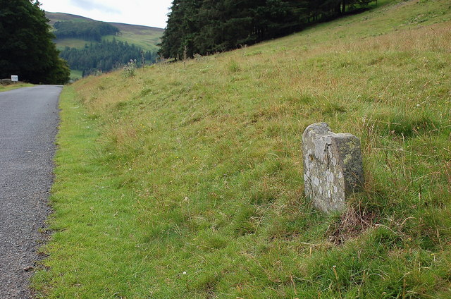
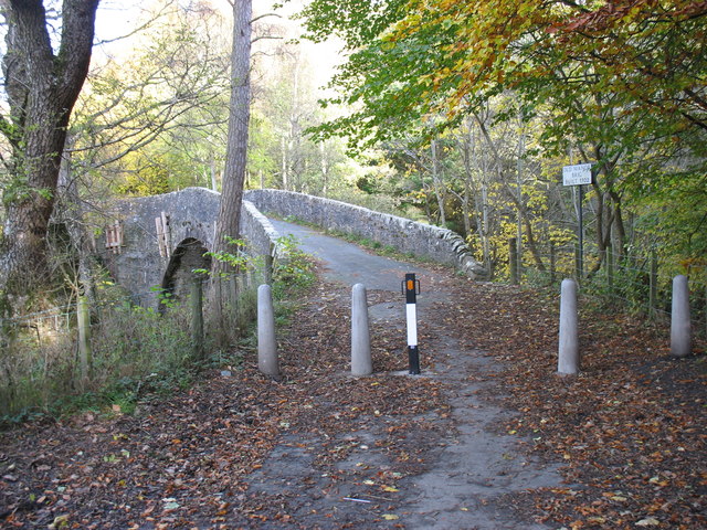
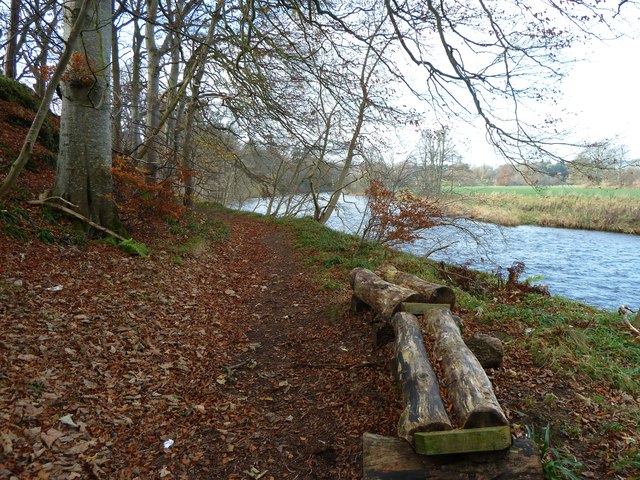
Walking trails wind through Arter Brae, offering visitors the opportunity to explore the area's natural beauty. These paths meander through the woods, leading to hidden glens, babbling brooks, and peaceful clearings. The sound of birdsong fills the air, as various species, including woodpeckers, owls, and wrens, find their sanctuary in the trees.
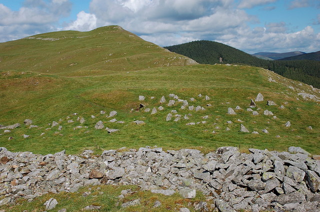
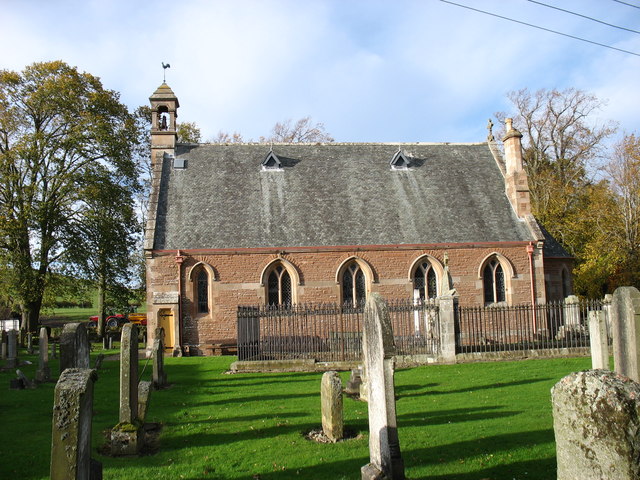
Arter Brae is not only a place of scenic beauty but also a site of historical significance. The remnants of ancient settlements and stone circles can be found within its boundaries, providing a glimpse into the area's past. Archaeological discoveries have shed light on the lives of the people who once called this forest home.
Whether you are seeking a peaceful retreat, a chance to connect with nature, or a glimpse into the past, Arter Brae offers a captivating experience. With its lush woodlands, diverse wildlife, and historical significance, it truly is a gem of Peeblesshire.
If you have any feedback on the listing, please let us know in the comments section below.
Arter Brae Images
Images are sourced within 2km of 55.634467/-3.2357076 or Grid Reference NT2238. Thanks to Geograph Open Source API. All images are credited.
Arter Brae is located at Grid Ref: NT2238 (Lat: 55.634467, Lng: -3.2357076)
Unitary Authority: The Scottish Borders
Police Authority: The Lothians and Scottish Borders
What 3 Words
///joked.imply.flocking. Near Peebles, Scottish Borders
Nearby Locations
Related Wikis

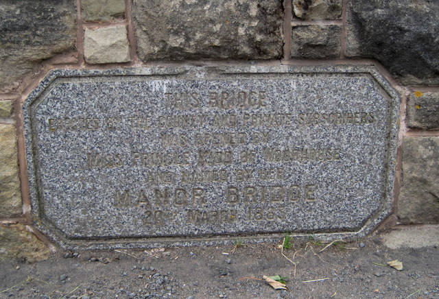
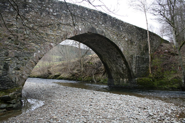
Manor Water
Manor Water is a river in the parish of Manor, Peeblesshire in the Scottish Borders. It rises in the Ettrick Forest and flows down through the Maynor valley...

Manor, Scottish Borders
Manor is a parish in Peeblesshire in the Scottish Borders, whose church lies on the west bank of Manor Water 3 miles south-west of Peebles.The parish...

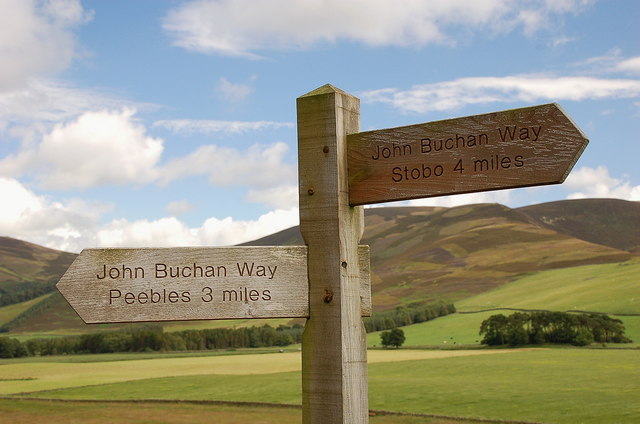
John Buchan Way
The John Buchan Way is a walking route from Peebles to Broughton in the Scottish Borders, a distance of approximately 22 km (13 miles). The route is waymarked...

Neidpath Viaduct
Neidpath Viaduct, occasionally known as the Queen's Bridge, consists of eight stone skew arches and was built to carry the Symington to Peebles branch...
Nearby Amenities
Located within 500m of 55.634467,-3.2357076Have you been to Arter Brae?
Leave your review of Arter Brae below (or comments, questions and feedback).