Beech Wood
Wood, Forest in Angus
Scotland
Beech Wood

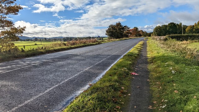
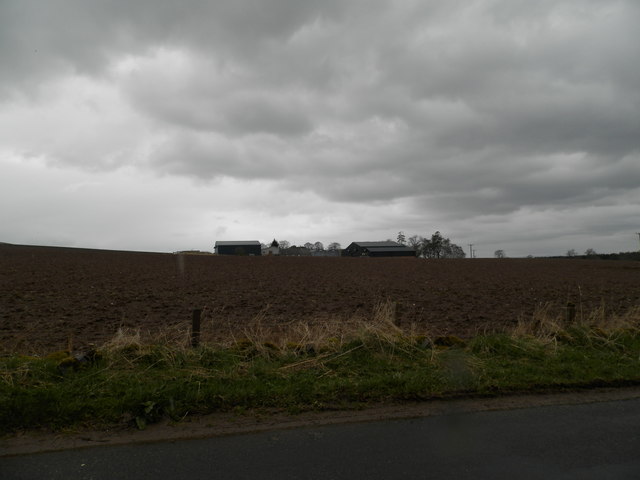
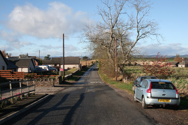
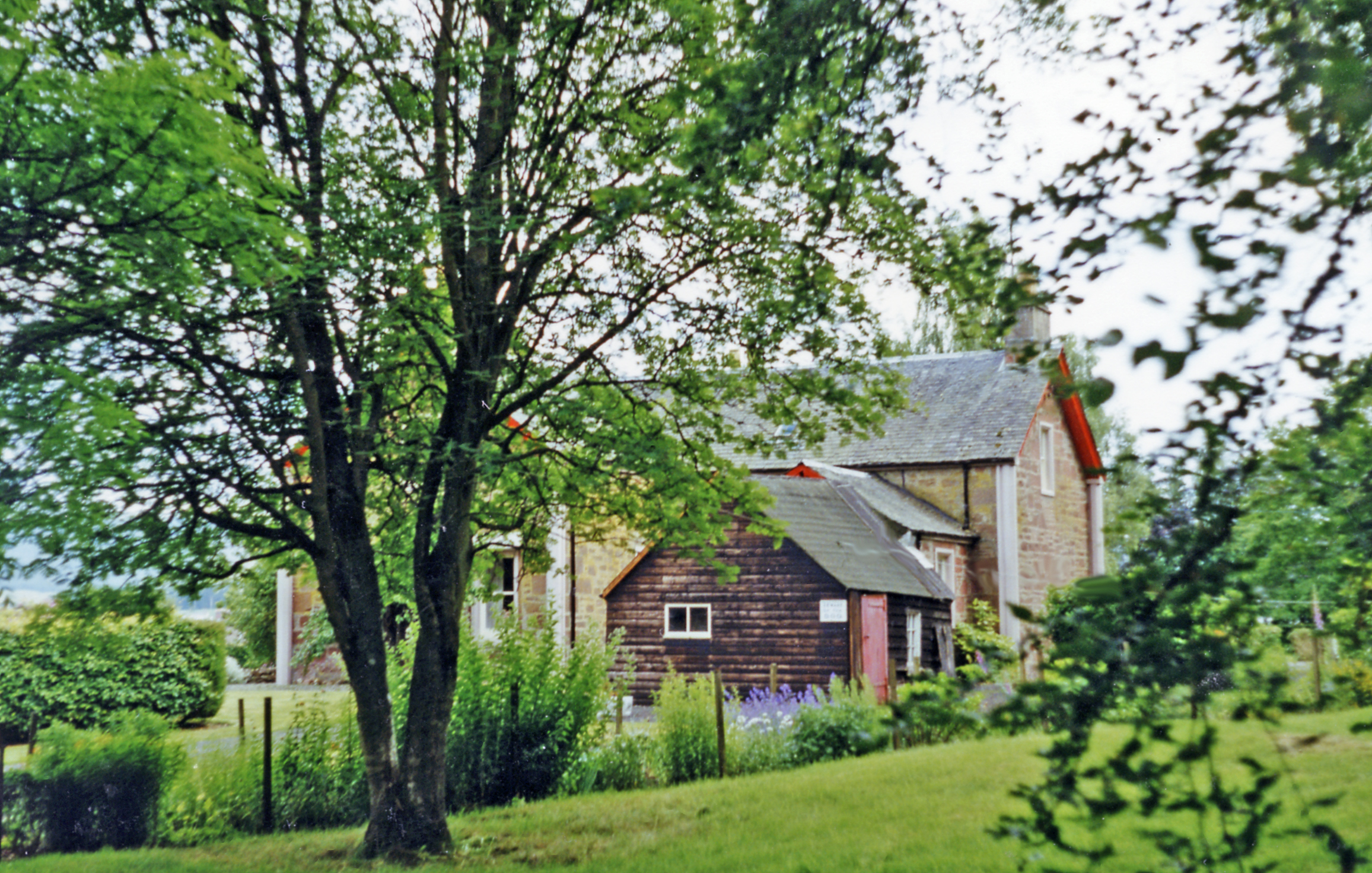
Beech Wood is a picturesque forest located in the Angus region of Scotland. Covering an area of approximately 500 acres, this woodland is renowned for its beautiful beech trees, which dominate the landscape.
The forest is home to a diverse range of wildlife, including various bird species, squirrels, and deer. The dense canopy created by the beech trees provides a serene and tranquil environment, offering a perfect escape for nature enthusiasts and hikers alike.
Beech Wood boasts a network of well-maintained paths and trails, allowing visitors to explore the area and discover its natural beauty. The trails meander through the forest, offering stunning views of the towering trees and occasional glimpses of the local fauna.
Additionally, the wood is home to a variety of plant species, including bluebells, ferns, and mosses. During springtime, the forest floor transforms into a vibrant carpet of blue as the bluebells come into bloom, creating a truly enchanting sight.
The wood is a popular destination for nature walks, picnics, and photography. It provides ample opportunities for capturing the breathtaking scenery and observing the local wildlife. Moreover, the peaceful ambiance of Beech Wood makes it an ideal spot for those seeking solitude and relaxation in the heart of nature.
Overall, Beech Wood in Angus is a captivating forest that offers a rich tapestry of natural wonders, making it a must-visit destination for nature enthusiasts and those looking to immerse themselves in the beauty of the great outdoors.
If you have any feedback on the listing, please let us know in the comments section below.
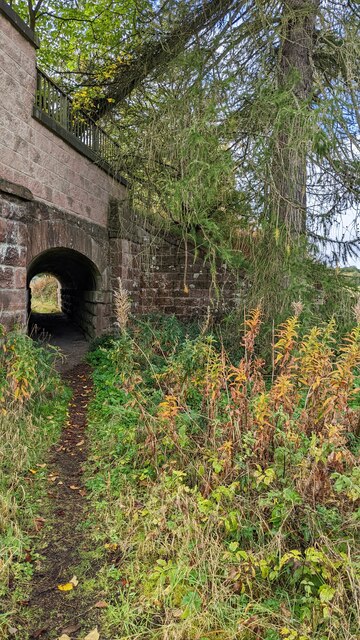
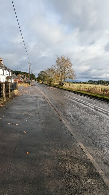
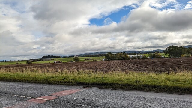
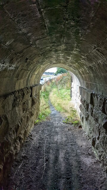
Beech Wood Images
Images are sourced within 2km of 56.522395/-3.265554 or Grid Reference NO2237. Thanks to Geograph Open Source API. All images are credited.


Beech Wood is located at Grid Ref: NO2237 (Lat: 56.522395, Lng: -3.265554)
Unitary Authority: Perth and Kinross
Police Authority: Tayside
What 3 Words
///single.apples.reflected. Near Coupar Angus, Perth & Kinross
Nearby Locations
Related Wikis

Campmuir
Campmuir () is a small village in the Perth and Kinross area of Scotland.Campmuir is located less than 1 mile (2 kilometres) south of the main A94 road...
Woodside, Perth and Kinross
Woodside (Scottish Gaelic: Both Bhùirnich) is a small village in Scotland, 12 miles (19 kilometres) from Perth, in the Perth and Kinross council area....

Kettins
Kettins is a village in Perth and Kinross, Scotland about 14 miles (23 kilometres) northeast of Perth and 11 miles (18 kilometres) northwest of Dundee...

Burrelton
Burrelton is a small village in Scotland about 12 miles (19 kilometres) outside Perth. It is joined onto another smaller village, Woodside. The population...
Woodside and Burrelton railway station
Woodside and Burrelton railway station was located in Burrelton in the Scottish county of Perth and Kinross. The station was opened by the Caledonian Railway...
Coupar Angus railway station
Coupar Angus railway station served the town of Coupar Angus, Perth and Kinross, Scotland from 1837 to 1967 on the Scottish Midland Junction Railway....

Coupar Angus Town Hall
Coupar Angus Town Hall is a municipal structure in Union Street in Coupar Angus, Perth and Kinross, Scotland. The structure, which is used as a community...
Coupar Angus
Coupar Angus ( ; Gaelic: Cùbar Aonghais) is a town in Perth and Kinross, Scotland, 4 miles (6 kilometres) south of Blairgowrie. The name Coupar Angus serves...
Nearby Amenities
Located within 500m of 56.522395,-3.265554Have you been to Beech Wood?
Leave your review of Beech Wood below (or comments, questions and feedback).