Auchmuir Braes Plantation
Wood, Forest in Fife
Scotland
Auchmuir Braes Plantation
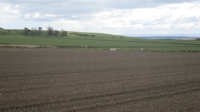
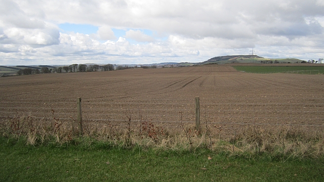
Auchmuir Braes Plantation is a picturesque woodland located in Fife, Scotland. Covering an area of approximately 50 hectares, this plantation is a haven for nature lovers and outdoor enthusiasts alike.
Situated on the rolling hills of Auchmuir Braes, the woodland is characterized by its diverse range of tree species, including Scots pine, oak, birch, and beech. These trees provide a dense canopy that filters sunlight and creates a tranquil atmosphere within the plantation.
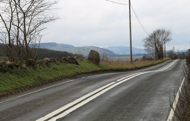
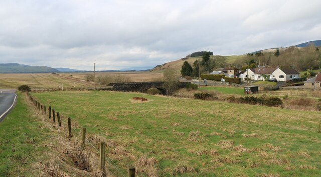
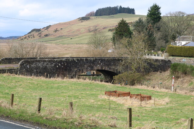
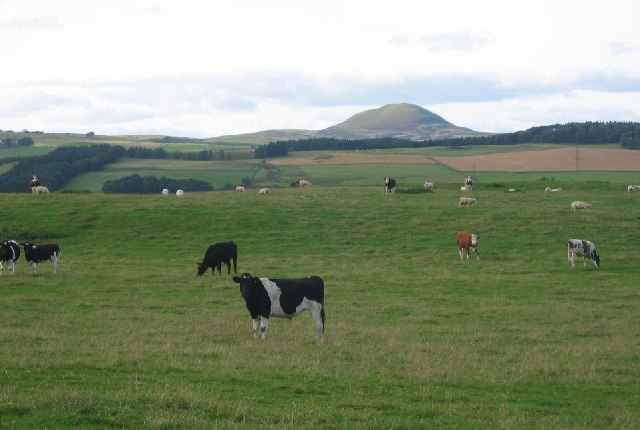
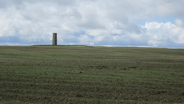
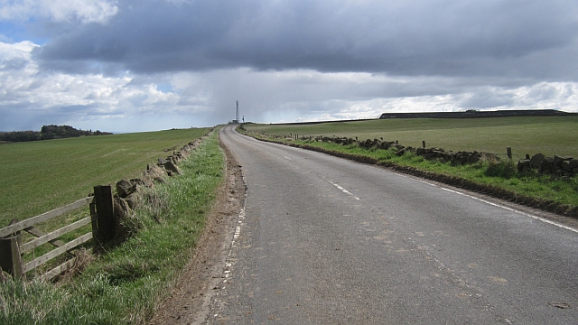
The woodland is crisscrossed by a network of well-maintained paths, allowing visitors to explore the plantation and take in its natural beauty. These paths lead to various viewpoints, offering stunning vistas of the surrounding countryside and the Firth of Forth.
Auchmuir Braes Plantation is home to a rich array of flora and fauna. Wildflowers such as bluebells, primroses, and foxgloves carpet the forest floor during the spring months, creating a vibrant tapestry of colors. The woodland also provides a habitat for a wide range of bird species, including woodpeckers, owls, and thrushes.
The plantation attracts visitors year-round, with each season offering its own unique charm. In autumn, the woodland is transformed into a sea of red, orange, and gold as the leaves change color. Winter brings a peaceful serenity, with snow-covered trees and crisp, clean air.
Overall, Auchmuir Braes Plantation is a natural treasure in the heart of Fife. With its diverse tree species, scenic views, and abundant wildlife, it offers a peaceful retreat for those seeking to connect with nature and enjoy the beauty of the Scottish countryside.
If you have any feedback on the listing, please let us know in the comments section below.
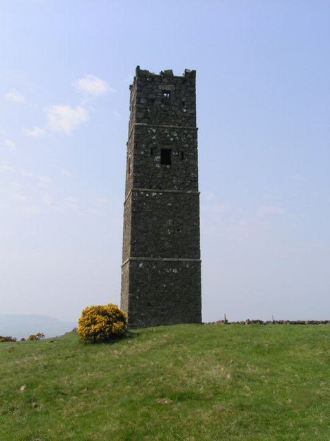
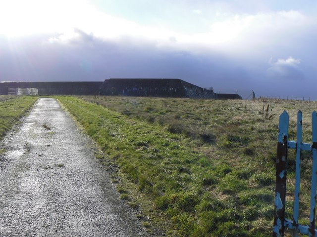
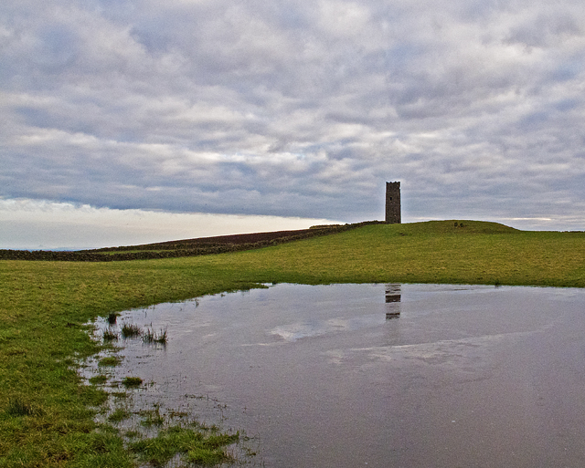
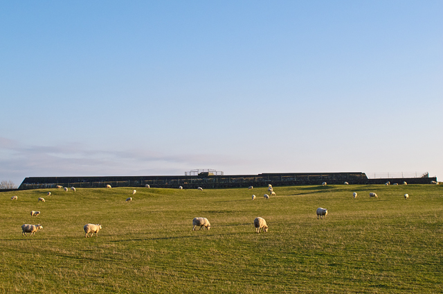
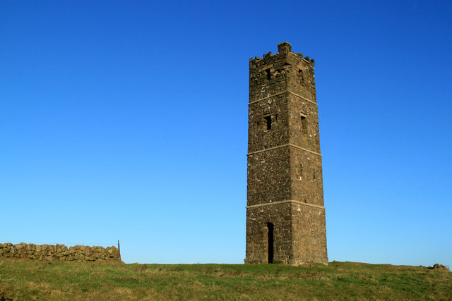
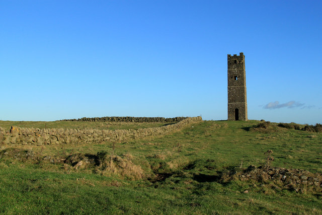
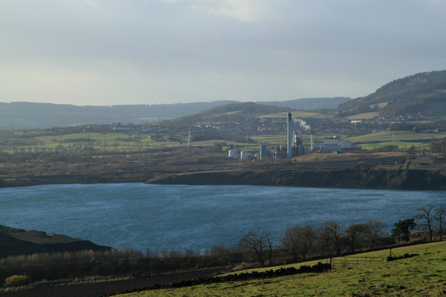
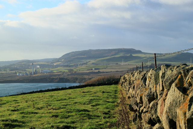
Auchmuir Braes Plantation Images
Images are sourced within 2km of 56.195008/-3.2585551 or Grid Reference NO2200. Thanks to Geograph Open Source API. All images are credited.


Auchmuir Braes Plantation is located at Grid Ref: NO2200 (Lat: 56.195008, Lng: -3.2585551)
Unitary Authority: Fife
Police Authority: Fife
What 3 Words
///vines.greed.helper. Near Kinglassie, Fife
Nearby Locations
Related Wikis
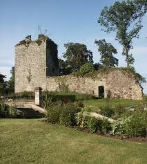
Arnot Tower
Arnot Tower is a ruined 16th-century castle located in the grounds of Arnot Tower House, less than 1 mile (1.6 km) from Scotlandwell, Perth and Kinross...

Leslie railway station
Leslie railway station served the village of Leslie, Fife, Scotland, from 1861 to 1932 on the Leslie Railway. == History == The station was opened on 1...
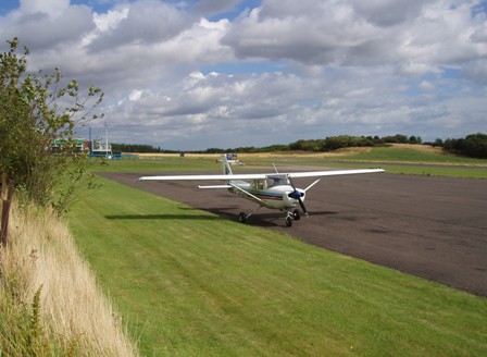
Fife Airport
Fife Airport (ICAO: EGPJ) (Scottish Gaelic: Port-adhair Fìobha) is an unlicensed aerodrome located 2 nautical miles (3.7 km; 2.3 mi) west of Glenrothes...

Leslie, Fife
Leslie (Scottish Gaelic: Fiodh Chill) is a large village and parish on the northern tip of the River Leven Valley, to the west of Glenrothes in Fife. According...
Nearby Amenities
Located within 500m of 56.195008,-3.2585551Have you been to Auchmuir Braes Plantation?
Leave your review of Auchmuir Braes Plantation below (or comments, questions and feedback).