Pirniss Wood
Wood, Forest in Fife
Scotland
Pirniss Wood
Pirniss Wood is a picturesque forest located in the county of Fife, Scotland. Covering an area of approximately 100 acres, it is nestled within the charming village of Pirniss, just a few miles outside the town of Dunfermline.
The wood is characterized by its dense, mature trees, predominantly consisting of oak, beech, and pine. These towering giants create a lush and vibrant canopy, providing a haven for a variety of wildlife. The forest floor is adorned with a rich carpet of ferns, bluebells, and other wildflowers, adding to the area's natural beauty.
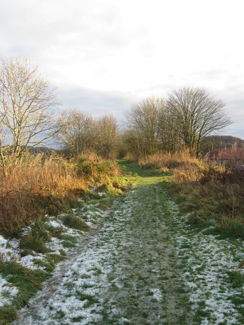
Pirniss Wood is a popular destination for nature enthusiasts and outdoor lovers. It offers a network of well-maintained trails, allowing visitors to explore the forest and enjoy its tranquil ambiance. The paths wind through the woodland, providing opportunities for leisurely walks, jogging, or even horseback riding.
The forest is also home to a diverse range of wildlife. Birdwatchers can spot numerous species, including woodpeckers, pheasants, and owls. Squirrels dart through the trees, while badgers and foxes may occasionally make an appearance. The peaceful atmosphere of the wood makes it an ideal spot for wildlife observation and photography.
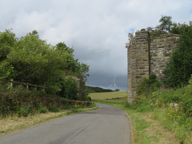
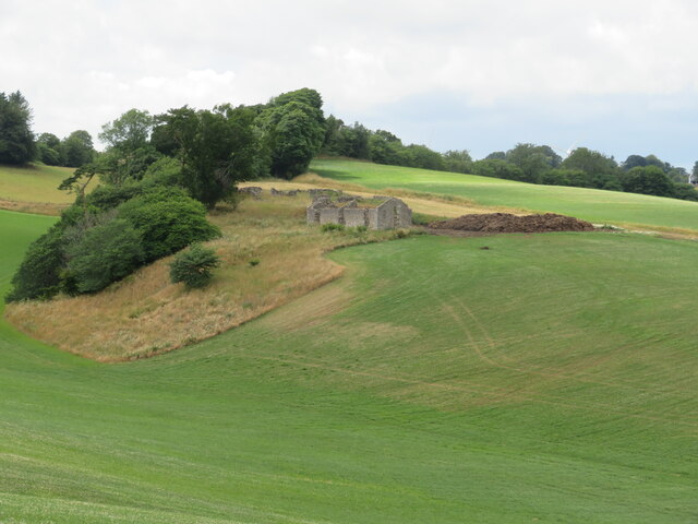
In addition to its natural allure, Pirniss Wood holds historical significance. It is believed to have been part of the royal hunting grounds of Dunfermline Palace, an important residence of Scottish monarchs in the past. This connection to the region's history adds an extra layer of fascination to the woodland.
Overall, Pirniss Wood is a captivating destination where visitors can immerse themselves in nature, enjoy scenic walks, and appreciate the area's rich wildlife. Whether seeking relaxation or adventure, this enchanting forest offers a truly memorable experience.
If you have any feedback on the listing, please let us know in the comments section below.
Pirniss Wood Images
Images are sourced within 2km of 56.088163/-3.255116 or Grid Reference NT2189. Thanks to Geograph Open Source API. All images are credited.
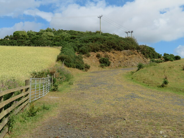
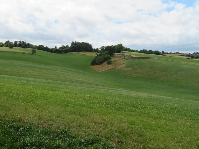
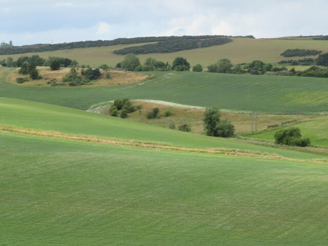
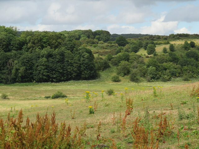
![Fife fieldscape from Auchtertool Kirk Farm crops [barley, grass], Kirkton farm, woodland and, in the distance [3.3 km], Stoneyhall Hill.](https://s3.geograph.org.uk/geophotos/07/22/98/7229803_352b49c0.jpg)


Pirniss Wood is located at Grid Ref: NT2189 (Lat: 56.088163, Lng: -3.255116)
Unitary Authority: Fife
Police Authority: Fife
What 3 Words
///beards.devoured.concluded. Near Burntisland, Fife
Nearby Locations
Related Wikis

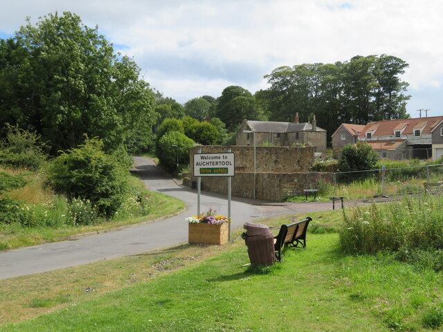
Auchtertool
Auchtertool ( ; Scottish Gaelic: Uachdar Tuil) is a small village in Fife, Scotland. It is 4 miles west of Kirkcaldy. The name is from the Gaelic uachdar...

Kirkcaldy and Cowdenbeath (UK Parliament constituency)
Kirkcaldy and Cowdenbeath is a county constituency representing the areas around the towns of Kirkcaldy and Cowdenbeath, in Fife, Scotland, in the House...
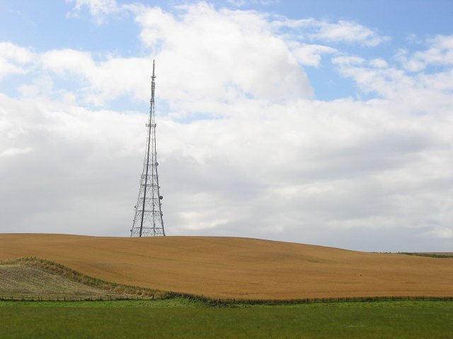
Craigkelly transmitting station
The Craigkelly transmitting station is a broadcasting and telecommunications facility located at Craigkelly (grid reference NT233872) north of the Firth...
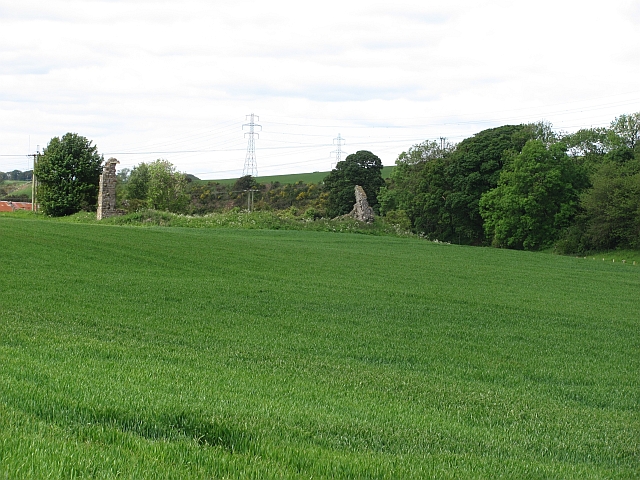
Hallyards Castle
Hallyards Castle (Scots: Hall yairds "the yards at the hall"), located to the north-west of the village of Auchtertool, is reputed to have been a hunting...
Nearby Amenities
Located within 500m of 56.088163,-3.255116Have you been to Pirniss Wood?
Leave your review of Pirniss Wood below (or comments, questions and feedback).