Pitmedden Wood

Wood, Forest in Perthshire

Scotland

Pitmedden Wood

Tennis court at Newhill Enclosed tennis court by the roadside at Newhill.
Tennis court at Newhill Credit: Scott Cormie

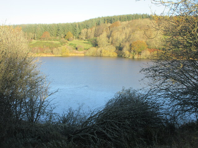
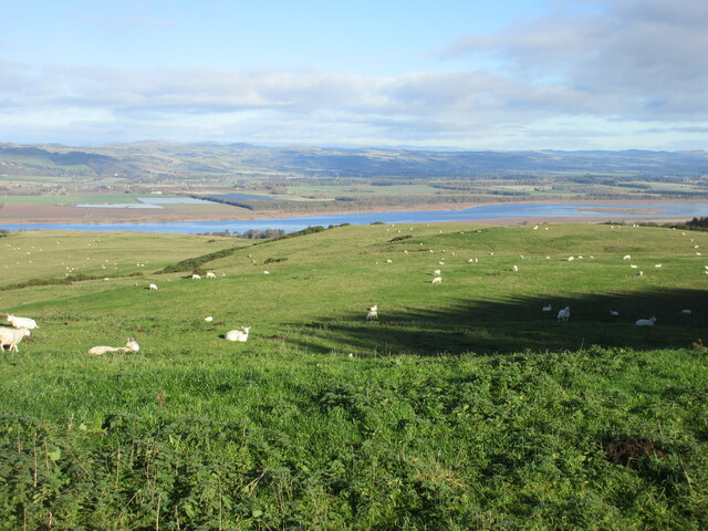
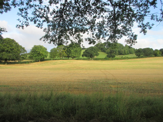
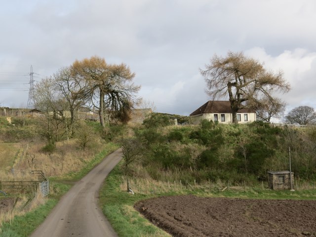
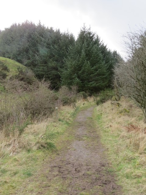
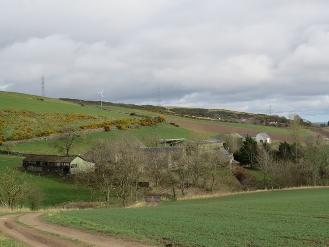
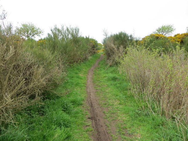
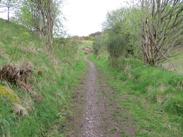
Pitmedden Wood is a beautiful, ancient forest located in Perthshire, Scotland. Covering an area of approximately 600 acres, the wood is composed of a mix of native oak, birch, and pine trees, as well as a variety of other flora and fauna. The forest is situated on a gently sloping hillside, offering visitors stunning views of the surrounding countryside.

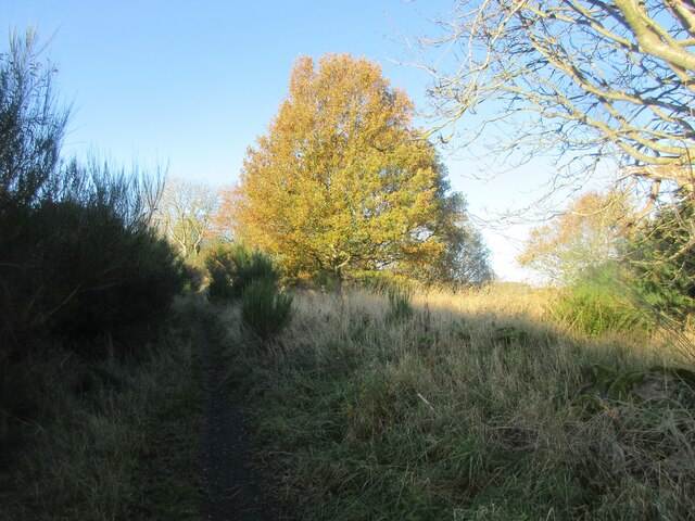
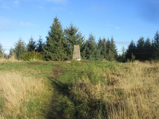
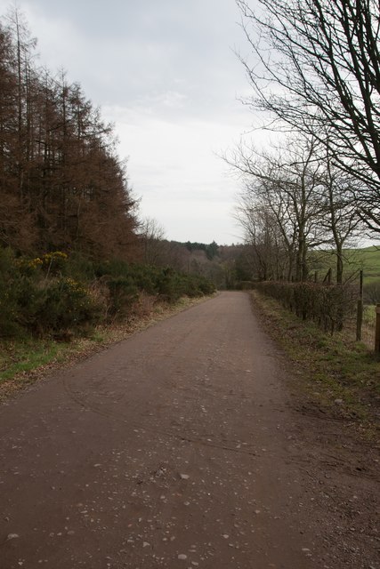
Pitmedden Wood is a popular destination for nature lovers and outdoor enthusiasts, with a network of well-maintained trails that wind through the forest, providing opportunities for hiking, birdwatching, and wildlife spotting. The wood is also home to a diverse range of wildlife, including red squirrels, deer, and a variety of bird species.

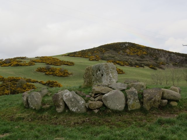
In addition to its natural beauty, Pitmedden Wood is also of historical significance, with remnants of ancient settlements and burial sites scattered throughout the forest. The wood is maintained by the Forestry Commission Scotland, which works to protect and preserve this important natural resource for future generations to enjoy. Overall, Pitmedden Wood is a tranquil and picturesque destination that offers a peaceful retreat from the hustle and bustle of everyday life.

If you have any feedback on the listing, please let us know in the comments section below.

Pitmedden Wood Images

Images are sourced within 2km of 56.321982/-3.265172 or Grid Reference NO2115. Thanks to Geograph Open Source API. All images are credited.

Tennis court at Newhill Enclosed tennis court by the roadside at Newhill.
Tennis court at Newhill
Enclosed tennis court by the roadside at Newhill.
Lochmill Loch Lochmill Loch Reservoir from the hillside to the south.
Lochmill Loch
Lochmill Loch Reservoir from the hillside to the south.
Woodland and heathland on the path The path heading up Lumbennie Hill from the east passing through woodland and scrub.
Woodland and heathland on the path
The path heading up Lumbennie Hill from the east passing through woodland and scrub.
Lumbennie Hill Trig Pillar The triangulation pillar on Lumbennie Hill viewed from the south-west.
Lumbennie Hill Trig Pillar
The triangulation pillar on Lumbennie Hill viewed from the south-west.
Grassland on Pitcairlie Hill Looking north-west over high grassland on Pitcairlie Hill, with the Firth of Tay and Dundee in the distance.
Grassland on Pitcairlie Hill
Looking north-west over high grassland on Pitcairlie Hill, with the Firth of Tay and Dundee in the distance.
Sheep near Stewartshill Sheep scattered over the hillside near Stewartshill, with the Firth of Tay beyond.
Sheep near Stewartshill
Sheep scattered over the hillside near Stewartshill, with the Firth of Tay beyond.
Field near Pitcairlie Field on the lower slope of Gowk Hill, south of Pitcairlie.
Field near Pitcairlie
Field on the lower slope of Gowk Hill, south of Pitcairlie.
Road to Newhill
Road to Newhill
Track through south side of Pitmedden Forest
Pylons, Lumbennie Hill After a long walk I was disheartened to see what lay before me if I wanted to reach Lumbennie Hill trigpoint. I decided to leave it for another day!
Pylons, Lumbennie Hill
After a long walk I was disheartened to see what lay before me if I wanted to reach Lumbennie Hill trigpoint. I decided to leave it for another day!
Macduff's Cross With Fincraig quarry in the background. Only the pedestal now remains of this former cross, thought to date from before 1059. For more information, visit <span class="nowrap"><a title="https://en.wikipedia.org/wiki/MacDuff%27s_Cross" rel="nofollow ugc noopener" href="https://en.wikipedia.org/wiki/MacDuff%27s_Cross">Link</a><img style="margin-left:2px;" alt="External link" title="External link - shift click to open in new window" src="https://s1.geograph.org.uk/img/external.png" width="10" height="10"/></span>.
Macduff's Cross
With Fincraig quarry in the background. Only the pedestal now remains of this former cross, thought to date from before 1059. For more information, visit LinkExternal link.
Approaching Pitmedden Farm
Path through Pitmedden Forest The path was strewn with mating toads at the time of my visit, making it difficult to find safe footfall.
Path through Pitmedden Forest
The path was strewn with mating toads at the time of my visit, making it difficult to find safe footfall.
Approaching Raemore Farm
Seven Gates, Pitmedden Forest
Farmland near South Colzie, Fife
Path to Lumbennie Hill at Baw Hills Looking westward.
Path to Lumbennie Hill at Baw Hills
Looking westward.
Path to Lumbennie Hill at Craigdownie Looking south-westward.
Path to Lumbennie Hill at Craigdownie
Looking south-westward.
Show me another place!

Pitmedden Wood is located at Grid Ref: NO2115 (Lat: 56.321982, Lng: -3.265172)

Unitary Authority: Fife

Police Authority: Fife

What 3 Words

///vibes.bracing.hikes. Near Abernethy, Perth & Kinross

Related Wikis

MacDuff's Cross

MacDuff's Cross, also known as the Cross of MacDuff or Ninewells, is the remains of an ancient white sandstone monument, located on a historic site between...

Carpow

Carpow () is a diffuse hamlet in Perth and Kinross, Scotland. It is situated immediately to the east of the confluence of the River Tay and River Earn...

Carpow Roman Fort

The Roman Fort of Carpow was situated at the confluence of the rivers Tay and Earn in what is now Scotland.It was a large fortress with an area of thirty...

Newburgh railway station

See also Parbold railway station which was originally named "Newburgh railway station". There have been several railway stations serving the town of Newburgh...

Nearby Amenities

Located within 500m of 56.321982,-3.265172
Power: tower
Lat/Long: 56.3201116/-3.2583305
Power: tower
Lat/Long: 56.3246402/-3.2654738
Power: tower
Lat/Long: 56.3259131/-3.2674818
Power: tower
Lat/Long: 56.3243732/-3.2640914
Power: tower
Lat/Long: 56.3233297/-3.2624559
Power: tower
Lat/Long: 56.3229076/-3.2627407
Generator Method: wind_turbine
Generator Source: wind
Power: generator
Lat/Long: 56.3259264/-3.2619057
Lumbennie Hill
Natural: peak
Lat/Long: 56.3254725/-3.2672962
The data included in this document is from www.openstreetmap.org. The data is made available under ODbL.

Have you been to Pitmedden Wood?

Leave your review of Pitmedden Wood below (or comments, questions and feedback).