Grassfield Forest

Wood, Forest in Peeblesshire

Scotland

Grassfield Forest

Grange Hill Trig Point Flush Bracket S3135
Grange Hill Trig Point Flush Bracket S3135 Credit: thejackrustles

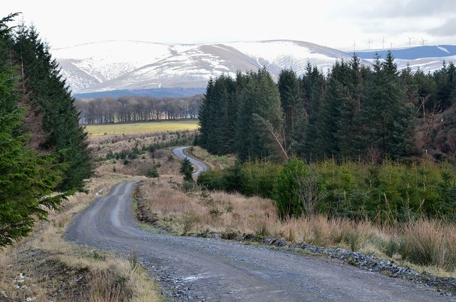
Grassfield Forest is a pristine wood located in Peeblesshire, Scotland. Covering an area of approximately 500 acres, this enchanting forest is renowned for its lush greenery and diverse range of flora and fauna. It is situated on the southern slopes of the Tweed Valley, offering breathtaking panoramic views of the surrounding landscape.

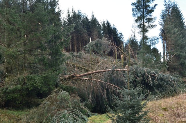
The forest is primarily dominated by a mixture of broadleaf and coniferous trees, including oak, beech, Scots pine, and spruce. The dense canopy provides a haven for numerous bird species, such as woodpeckers, thrushes, and owls, making it a popular spot for birdwatching enthusiasts.

A network of well-maintained trails weaves through the forest, allowing visitors to explore its natural wonders. These paths cater to a variety of abilities, from leisurely strolls to more challenging hikes. Along the way, visitors may encounter native wildlife like red squirrels, deer, and foxes, adding to the forest's allure.

Grassfield Forest is not just a sanctuary for flora and fauna, but also a recreational hub. It offers opportunities for activities like mountain biking and horseback riding, with designated trails specifically designed for these pursuits. Additionally, there are picnic areas and camping facilities available, making it an ideal destination for family outings and outdoor enthusiasts.

Managed by the local forestry commission, the forest is well-preserved and cared for, ensuring its sustainability for future generations. Whether one seeks tranquility in nature, adventure, or simply a break from the bustling city life, Grassfield Forest offers a captivating escape into the heart of Scotland's natural beauty.

If you have any feedback on the listing, please let us know in the comments section below.

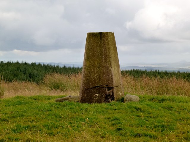
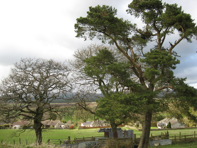
Grassfield Forest Images

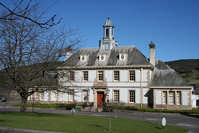
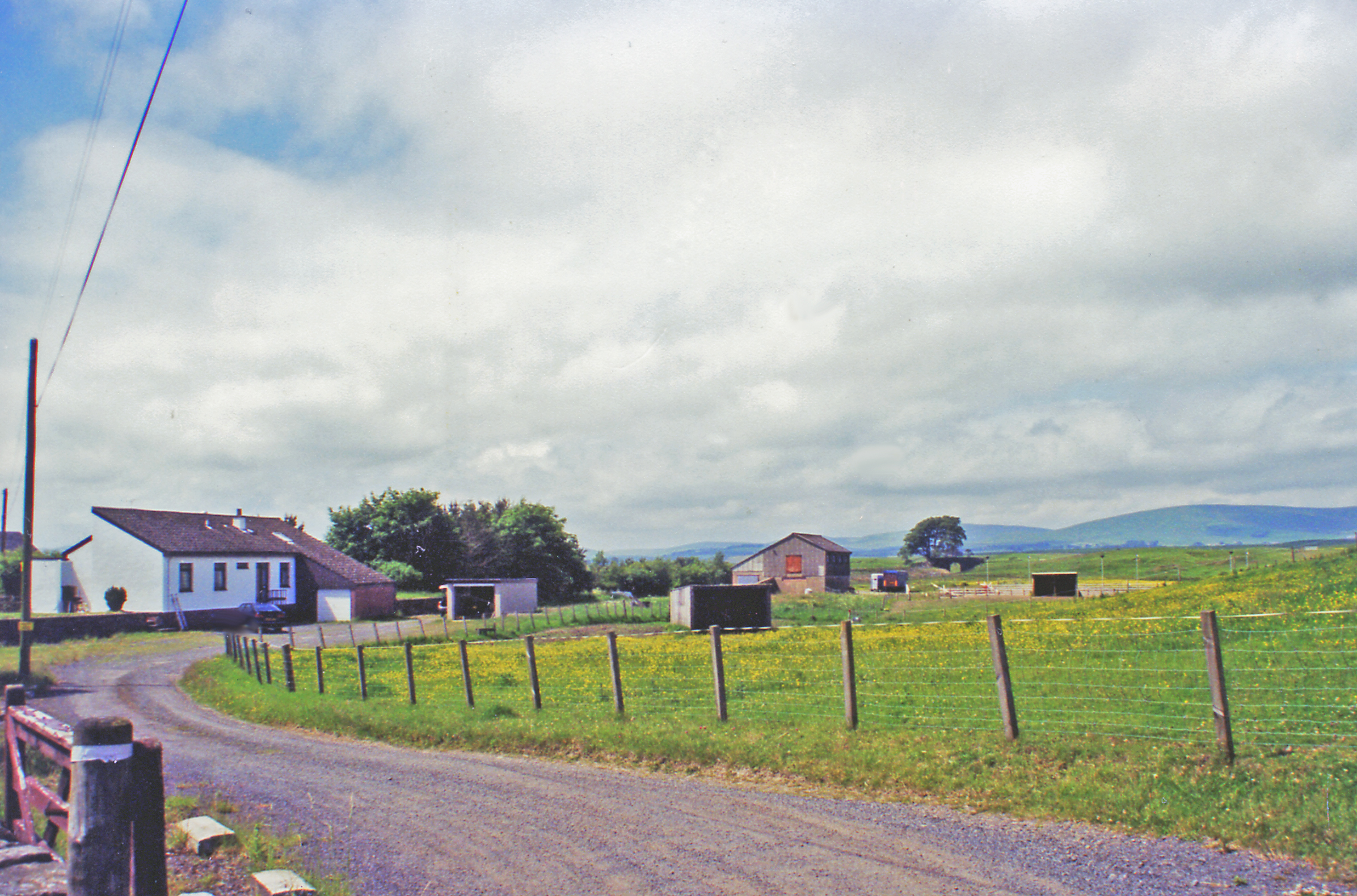
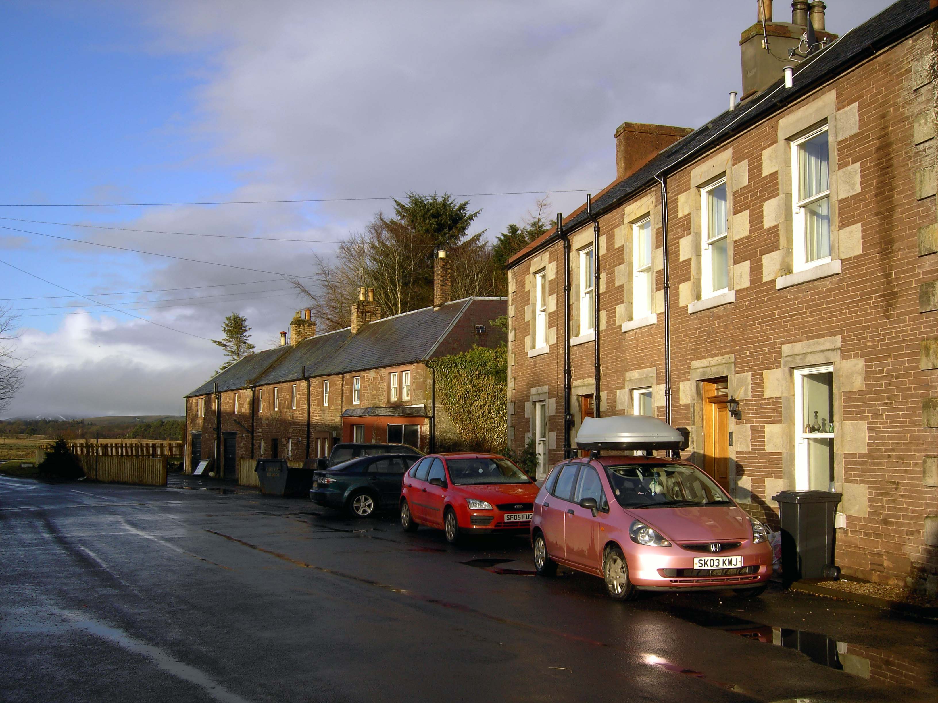
Images are sourced within 2km of 55.736028/-3.2784448 or Grid Reference NT1949. Thanks to Geograph Open Source API. All images are credited.

Grange Hill Trig Point Flush Bracket S3135
Hillwalker in the mist on Wether Law Quite a contrast with the bright winter sunshine down in the valley.
Hillwalker in the mist on Wether Law
Quite a contrast with the bright winter sunshine down in the valley.
Urinals in Progress Judging by the timber these two urinals will be plumbed in at some point - otherwise a pointless exercise. There are acres and acres of open countryside here in which men can relieve themselves, thereby dissipating the smell! 
I took the picture because it was such a strange site - Northern European pissoirs in the middle of nowhere. This area is just North of a large forest and, whilst the track serves as a through road to the handful of houses further North at Ruddenleys, at this point it is/was occasionally in use as some kind of outdoor activities centre. There were signs up and I forget the business name, but considering I was here on an unusually hot Sunday afternoon in July it is odd that there were no activities taking place. Maybe it has gone bust, or maybe the owners are enjoying a holiday somewhere even warmer...
Urinals in Progress
Judging by the timber these two urinals will be plumbed in at some point - otherwise a pointless exercise. There are acres and acres of open countryside here in which men can relieve themselves, thereby dissipating the smell! I took the picture because it was such a strange site - Northern European pissoirs in the middle of nowhere. This area is just North of a large forest and, whilst the track serves as a through road to the handful of houses further North at Ruddenleys, at this point it is/was occasionally in use as some kind of outdoor activities centre. There were signs up and I forget the business name, but considering I was here on an unusually hot Sunday afternoon in July it is odd that there were no activities taking place. Maybe it has gone bust, or maybe the owners are enjoying a holiday somewhere even warmer...
Grassfield This has to be one of the most precarious ruins I have ever come across. Thankfully it is nowhere near civilization; otherwise it would have been demolished, or fenced off awaiting a decision on demolition! Stones - if pushed - just fall off the walls, the far gable end is leaning at a worrying angle, and there is one squarish stone over the main arched doorway into the old house (which may or may not once have formed part of a lintel - the building  is so far gone it is by no means certain that the arched-looking doorway always looked this way) which pretty much defines the word 'precarious'!
The 1850s OS naming book (these were written up mainly to establish agreed-upon spellings for everything that got namechecked on the first OS maps of an area) for here describes Grassfield as a "one storey cottage with garden attached". This suggests, surprisingly, that this large building wasn't a proper farm, though the crumbling remains of a low wall in front of its entrance indicates that there must have once been animals around, belonging to other farms, or, more likely, a small number belonging to the occupants of this rather large 'cottage'.
The grass field that must have once been a big garden is now a nettlefield. Long trousers are required to get this close if you are a normal person.
Grassfield
This has to be one of the most precarious ruins I have ever come across. Thankfully it is nowhere near civilization; otherwise it would have been demolished, or fenced off awaiting a decision on demolition! Stones - if pushed - just fall off the walls, the far gable end is leaning at a worrying angle, and there is one squarish stone over the main arched doorway into the old house (which may or may not once have formed part of a lintel - the building is so far gone it is by no means certain that the arched-looking doorway always looked this way) which pretty much defines the word 'precarious'! The 1850s OS naming book (these were written up mainly to establish agreed-upon spellings for everything that got namechecked on the first OS maps of an area) for here describes Grassfield as a "one storey cottage with garden attached". This suggests, surprisingly, that this large building wasn't a proper farm, though the crumbling remains of a low wall in front of its entrance indicates that there must have once been animals around, belonging to other farms, or, more likely, a small number belonging to the occupants of this rather large 'cottage'. The grass field that must have once been a big garden is now a nettlefield. Long trousers are required to get this close if you are a normal person.
A701 and Macbieknowe
Hillside behind Ironstone Cottages
Grassfield Hill
Grassfield Hill
Wether Law
Wether Law
Forestry path Recent clearance to the east
Forestry path
Recent clearance to the east
Track from the forest
Wether Law Revisited to celebrate Colin's 600th Marilyn (second round) "Hall of Mirrors" and Rick Salter's 700th Marilyn, with Colin Crawford, Bernie Hughes, Jenny Hatfield, Rick Salter and Alan Dawson from Newlands Church, via sub-Hump Drum Maw on an initially grey day, improving to good visibility and sunshine. A fine summit party was had due to goods found in Colin's rucksack. Then onto a sub Marilyn and a P30.
Name: Wether Law
Hill number: 1817
Height: 479m / 1572ft
Area: 28A: Firth of Forth to the River Tweed
Class: Ma
Grid ref: NT 19467 48374
Summit feature: trig point
Drop: 212m
Col: 267m  NT252549
Wether Law
Revisited to celebrate Colin's 600th Marilyn (second round) "Hall of Mirrors" and Rick Salter's 700th Marilyn, with Colin Crawford, Bernie Hughes, Jenny Hatfield, Rick Salter and Alan Dawson from Newlands Church, via sub-Hump Drum Maw on an initially grey day, improving to good visibility and sunshine. A fine summit party was had due to goods found in Colin's rucksack. Then onto a sub Marilyn and a P30. Name: Wether Law Hill number: 1817 Height: 479m / 1572ft Area: 28A: Firth of Forth to the River Tweed Class: Ma Grid ref: NT 19467 48374 Summit feature: trig point Drop: 212m Col: 267m NT252549
A ridge of Scots Pine ascending Grange Hill
The track leading down from Grange Hill to La Mancha
Scots pine with two oaks at La Mancha
Wind damage in Cloich Forest Trees blown down and some snapped off in the forest near Middle Burn.
Wind damage in Cloich Forest
Trees blown down and some snapped off in the forest near Middle Burn.
Forest road and Dundreich The forest road from Shiplaw over to Noblehouse on the A701. The wind damaged area (<a href="https://www.geograph.org.uk/photo/3850091">NT2150 : Wind damage in Cloich Forest</a>) is to the right. Bowbeat wind farm is on the skyline by Dundreich.
Forest road and Dundreich
The forest road from Shiplaw over to Noblehouse on the A701. The wind damaged area (NT2150 : Wind damage in Cloich Forest) is to the right. Bowbeat wind farm is on the skyline by Dundreich.
Track to Grassfield Forest Grassfield is operated by Fountains Forestry; the adjacent Cloich Forest is FC Scotland. The track continues down to the A701 at Noblehouse.
Track to Grassfield Forest
Grassfield is operated by Fountains Forestry; the adjacent Cloich Forest is FC Scotland. The track continues down to the A701 at Noblehouse.
Gate into Grassfield Forest A Fountains Forestry plantation west of Cloich.
Gate into Grassfield Forest
A Fountains Forestry plantation west of Cloich.
Show me another place!

Grassfield Forest is located at Grid Ref: NT1949 (Lat: 55.736028, Lng: -3.2784448)

Unitary Authority: The Scottish Borders

Police Authority: The Lothians and Scottish Borders

What 3 Words

///replaying.achieving.mute. Near West Linton, Scottish Borders

Related Wikis

Tweeddale

Tweeddale (Scottish Gaelic: Srath Thuaidh/Tuaidhdail) is a committee area and lieutenancy area in the Scottish Borders council area in south-eastern Scotland...

Lamancha railway station

Lamancha railway station served the hamlet of Lamancha, Peeblesshire, Scotland, from 1864 to 1933 on the Leadburn, Linton and Dolphinton Railway. ��2...

Macbie Hill railway station

Macbie Hill railway station served the hamlet of Coalyburn, Peeblesshire, Scotland, from 1864 to 1933 on the Leadburn, Linton and Dolphinton Railway....

Romannobridge

Romanno Bridge is a village on the Lyne Water, on the A701, in the Scottish Borders area of Scotland. Settlements nearby include West Linton, Halmyre,...

Have you been to Grassfield Forest?

Leave your review of Grassfield Forest below (or comments, questions and feedback).