Humbie Wood
Wood, Forest in Fife
Scotland
Humbie Wood
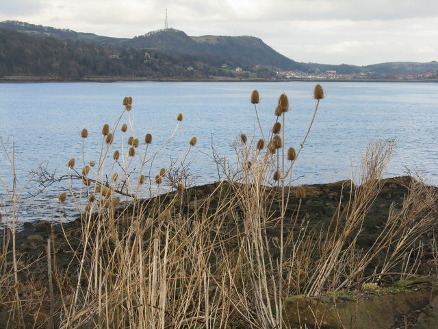
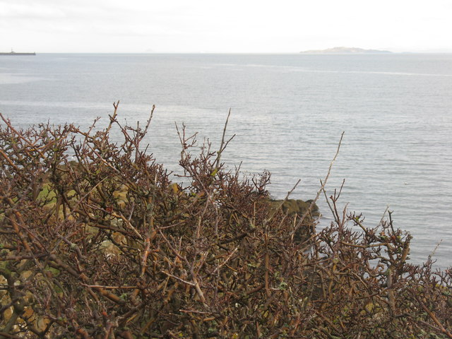
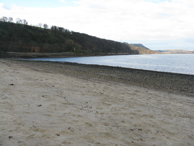
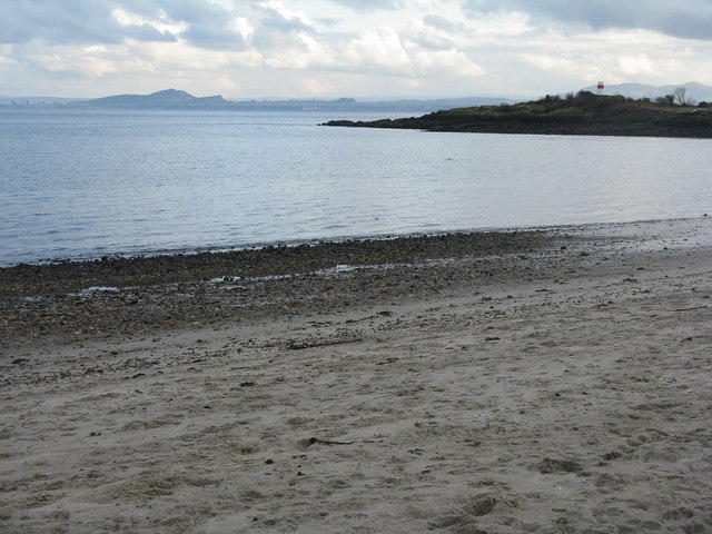
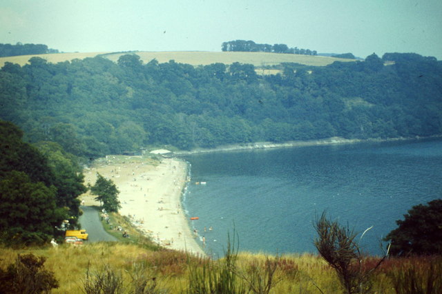
Humbie Wood is a beautiful forest located in Fife, Scotland. Spanning an area of approximately 200 acres, this wood is known for its rich biodiversity and stunning natural landscapes. The forest is situated near the village of Humbie, which is known for its picturesque countryside and charming rural atmosphere.
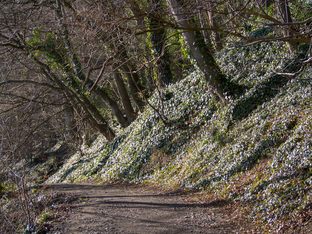
Humbie Wood is predominantly composed of native broadleaf trees, including oak, birch, and beech, which provide a haven for various wildlife species. Walking through the wood, visitors can witness a diverse range of flora and fauna, including bluebells, primroses, and foxgloves, as well as various species of birds, insects, and small mammals.
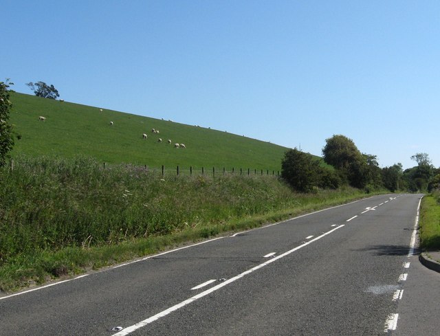
There are several well-maintained walking trails that allow visitors to explore the wood at their own pace. These trails wind through the forest, offering breathtaking views of the surrounding countryside and the opportunity to spot wildlife in their natural habitat. The peaceful and tranquil atmosphere of Humbie Wood provides an ideal setting for nature enthusiasts, photographers, and those seeking a tranquil escape from the hustle and bustle of city life.
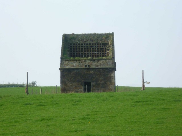
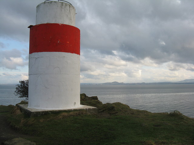
In addition to its natural beauty, Humbie Wood also holds historical significance. The wood was once part of a larger estate owned by the Humbie House, which was built in the 18th century. Although the house no longer stands, remnants of its former glory can still be seen in the wood, adding an extra layer of intrigue to the area.
Overall, Humbie Wood is a hidden gem in the heart of Fife, offering visitors a chance to immerse themselves in the beauty of nature, explore its rich biodiversity, and experience a true sense of tranquility.
If you have any feedback on the listing, please let us know in the comments section below.
Humbie Wood Images
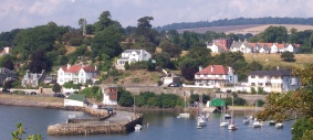
Images are sourced within 2km of 56.065319/-3.2894208 or Grid Reference NT1986. Thanks to Geograph Open Source API. All images are credited.


Humbie Wood is located at Grid Ref: NT1986 (Lat: 56.065319, Lng: -3.2894208)
Unitary Authority: Fife
Police Authority: Fife
What 3 Words
///apprehend.dampen.nest. Near Aberdour, Fife
Nearby Locations
Related Wikis

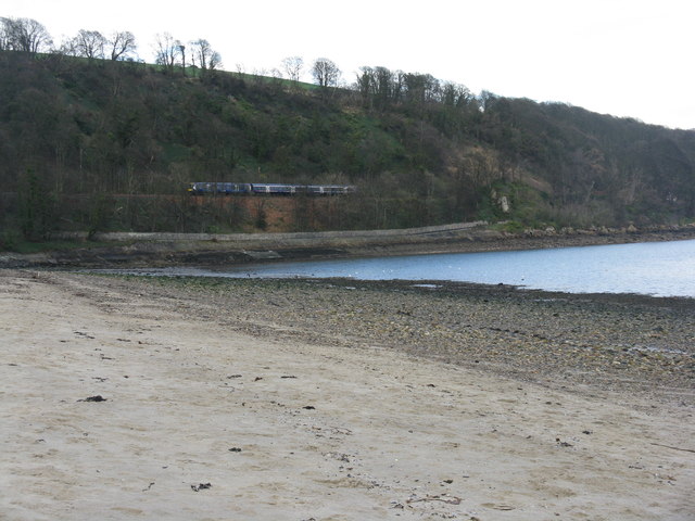
Aberdour railway station
Aberdour railway station is a railway station in the village of Aberdour, Fife, Scotland. The station is managed by ScotRail and is on the Fife Circle...
Aberdour
Aberdour ( ; Scots: , Scottish Gaelic: Obar Dobhair) is a scenic and historic village on the south coast of Fife, Scotland. It is on the north shore of...

Rossend Castle
Rossend Castle is a historic building in Burntisland, a town on the south coast of Fife, Scotland. == History == A keep, known as the Tower of Kingorne...

Burntisland Shipyard F.C.
Burntisland Shipyard Football Club are a Scottish football club based in the town of Burntisland, Fife. The club competes in the East of Scotland League...
Nearby Amenities
Located within 500m of 56.065319,-3.2894208Have you been to Humbie Wood?
Leave your review of Humbie Wood below (or comments, questions and feedback).