Glour-o'er-him Wood
Wood, Forest in Perthshire
Scotland
Glour-o'er-him Wood

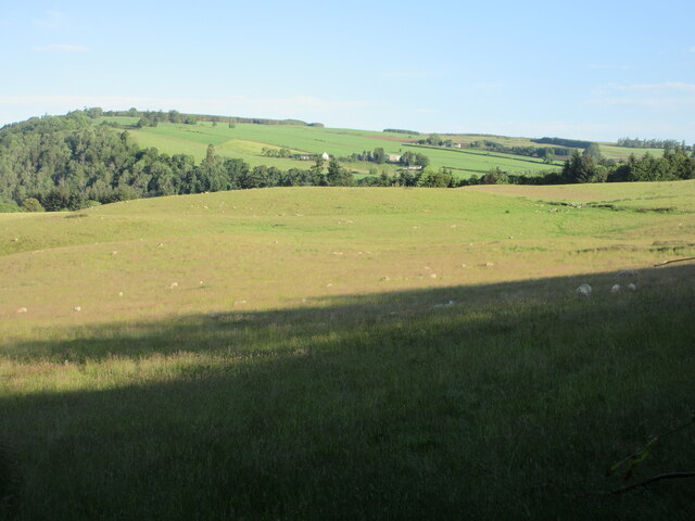
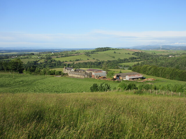
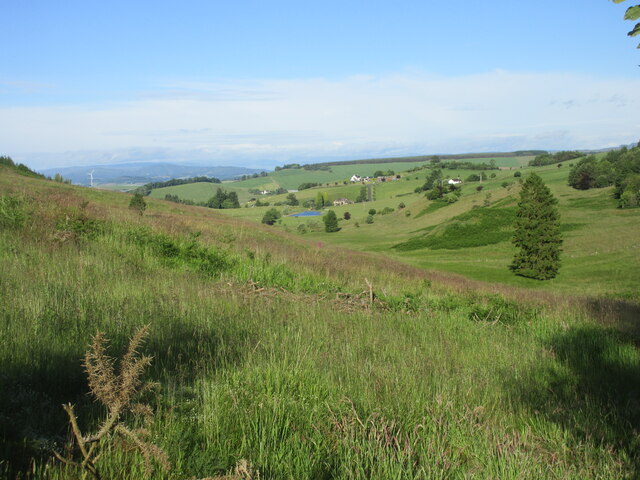
Glour-o'er-him Wood is a picturesque forest located in Perthshire, Scotland. Nestled amidst the breathtaking Scottish landscape, this wood offers visitors a tranquil and enchanting experience.
Covering an area of approximately 100 acres, Glour-o'er-him Wood boasts a diverse range of flora and fauna. The wood is predominantly composed of native tree species, including oak, birch, and pine trees. These towering trees create a dense canopy that provides a soothing shade, making it a perfect spot for leisurely walks or picnics.
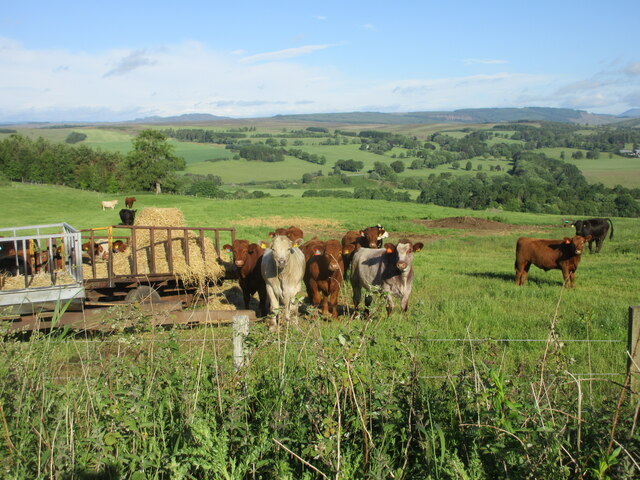
The forest is crisscrossed by a network of well-maintained trails, allowing visitors to explore the wood and discover its hidden treasures. As visitors wander through the wood, they can spot a variety of wildlife, including red squirrels, deer, and a multitude of bird species.
Glour-o'er-him Wood is not only a haven for nature enthusiasts but also a historical site. The wood is home to ancient ruins and remnants of a prehistoric settlement, adding an element of intrigue and fascination to the experience.
Visiting Glour-o'er-him Wood offers a chance to connect with nature and escape the hustle and bustle of everyday life. The peaceful ambiance and stunning scenery make it an ideal destination for hikers, photographers, and those seeking a moment of serenity.
Overall, Glour-o'er-him Wood in Perthshire is a captivating forest that offers a harmonious blend of natural beauty and historical significance. Whether one seeks an adventure, a peaceful retreat, or a deeper understanding of Scotland's past, this wood provides an unforgettable experience.
If you have any feedback on the listing, please let us know in the comments section below.
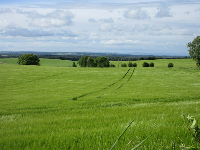
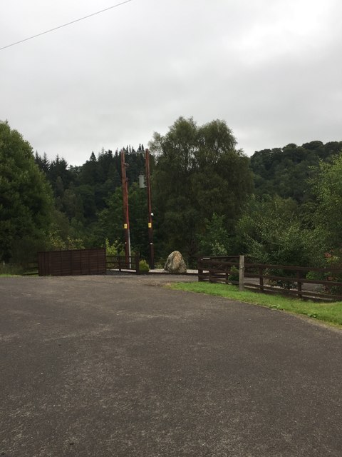
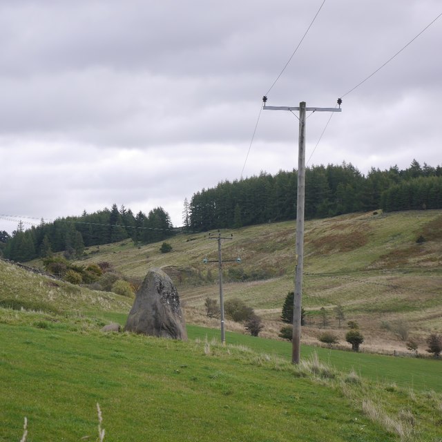
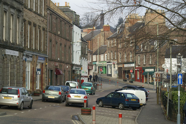
Glour-o'er-him Wood Images
Images are sourced within 2km of 56.619087/-3.3175799 or Grid Reference NO1948. Thanks to Geograph Open Source API. All images are credited.


Glour-o'er-him Wood is located at Grid Ref: NO1948 (Lat: 56.619087, Lng: -3.3175799)
Unitary Authority: Perth and Kinross
Police Authority: Tayside
What 3 Words
///original.differ.tummy. Near Blairgowrie, Perth & Kinross
Nearby Locations
Related Wikis

Blairgowrie F.C.
Blairgowrie Junior Football Club is a Scottish Junior football club based in Blairgowrie and Rattray, Perth and Kinross. Their home ground is Davie Park...
Blairgowrie and Rattray
Blairgowrie and Rattray ( ) is a twin burgh in Perth and Kinross, Scotland. Locals refer to the town as "Blair". Blairgowrie is the larger of the two former...

Blairgowrie railway station
Blairgowrie railway station served the burgh of Blairgowrie and Rattray, Perth and Kinross, Scotland from 1855 to 1955 on the Scottish Midland Junction...

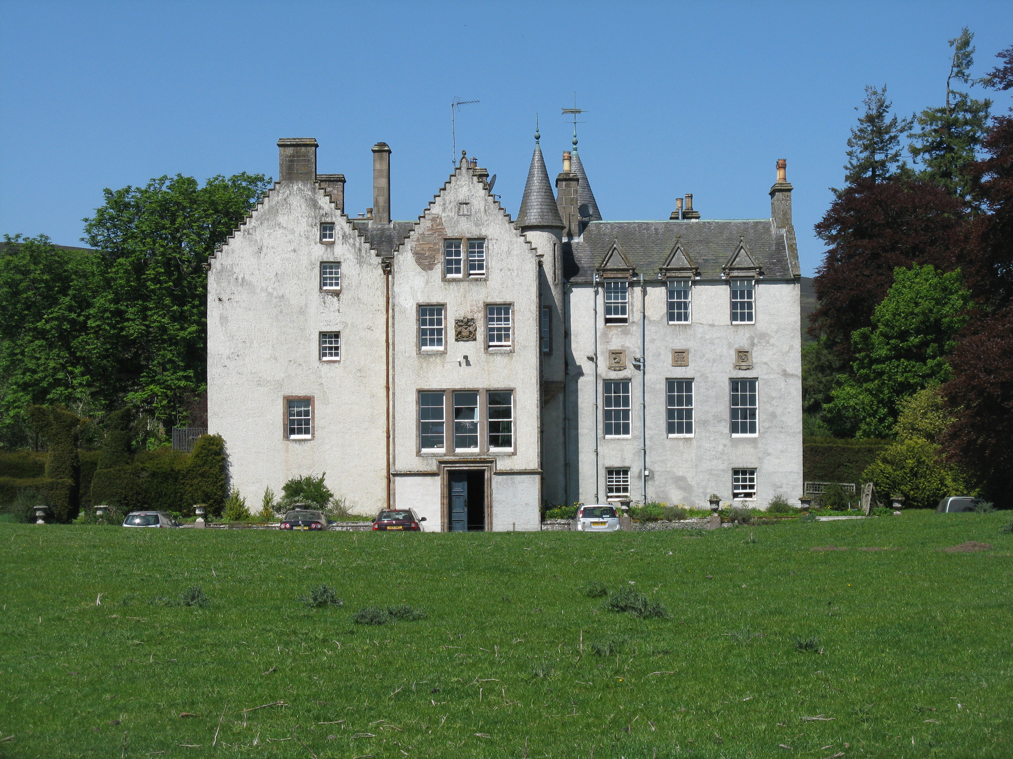
Newton Castle
Newton Castle stands in its grounds near the town of Blairgowrie in Perth and Kinross, Scotland. It is a Category A listed building dating to the mid-16th...

Blairgowrie Community Hospital
Blairgowrie Community Hospital is a health facility in Perth Road, Blairgowrie and Rattray, Scotland. It is managed by NHS Tayside. == History == The first...

Blairgowrie High School
Blairgowrie High School is a high school in Blairgowrie, Scotland. Blairgowrie High School has 719 students (as of September census) from Blairgowrie and...
Bamff
Bamff House is the home of the Ramsays of Bamff, and is located within a 1,300-acre (5.3 km2) estate in Perthshire, Scotland. Bamff House began as a fortified...

Ardblair Castle
Ardblair Castle is an L-plan castle (with an added wing), dating from the 16th century, around 0.75 miles (1.21 km) west of Blairgowrie in Perth and Kinross...
Nearby Amenities
Located within 500m of 56.619087,-3.3175799Have you been to Glour-o'er-him Wood?
Leave your review of Glour-o'er-him Wood below (or comments, questions and feedback).