Broad Moss
Downs, Moorland in Perthshire
Scotland
Broad Moss

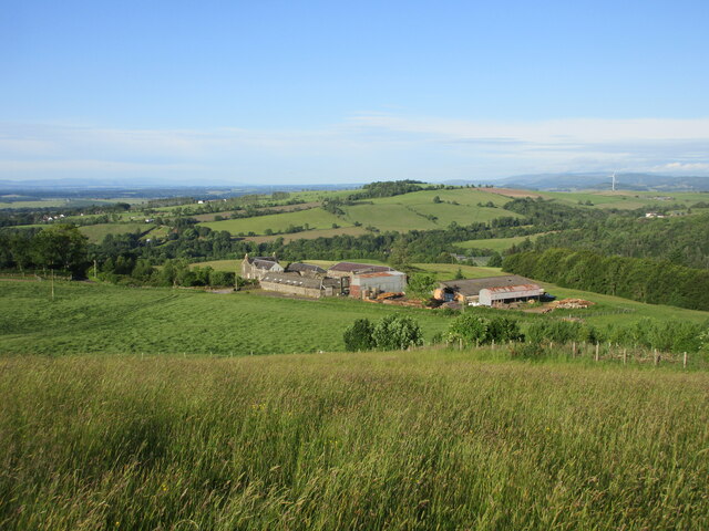
Broad Moss is a picturesque area located in Perthshire, Scotland. Situated in the heart of the Scottish Highlands, it is renowned for its stunning downs and moorland landscapes. Covering a vast expanse of approximately 100 square miles, Broad Moss offers a unique blend of natural beauty and tranquility.
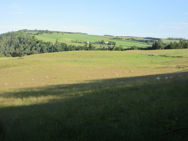
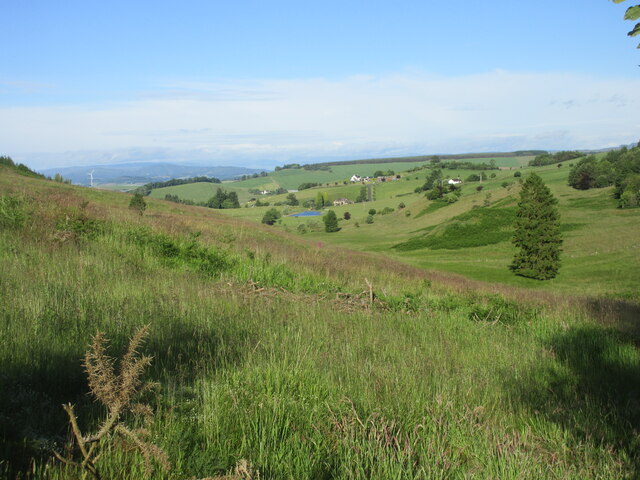
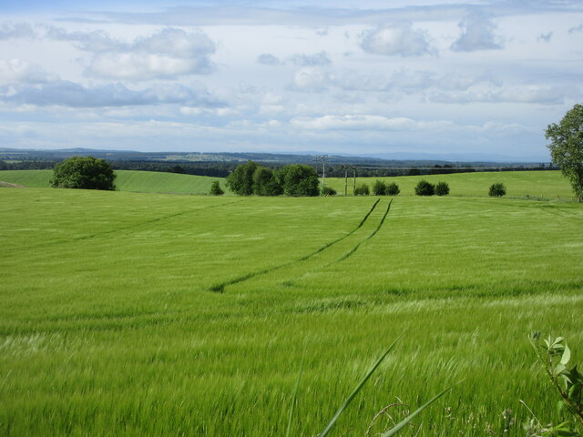
The downs of Broad Moss are characterized by rolling hills and expansive grasslands. These open spaces provide a perfect habitat for a variety of plant and animal species, including heather, wildflowers, and various bird species. The lush greenery and peaceful atmosphere make it an ideal destination for nature lovers and outdoor enthusiasts.
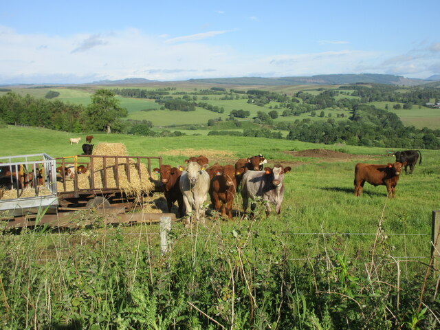
In contrast, the moorlands of Broad Moss are characterized by their rugged terrain and heather-covered slopes. The moors are home to a diverse range of wildlife, including red deer, mountain hares, and various bird species such as golden eagles and ptarmigans. The moorlands also offer breathtaking panoramic views of the surrounding mountains and valleys.
The area is crisscrossed by a network of walking trails and footpaths, making it a popular destination for hikers and walkers. Visitors can explore the vast landscapes, enjoy the fresh mountain air, and take in the stunning vistas that Broad Moss has to offer.
Overall, Broad Moss in Perthshire is a natural paradise, combining the beauty of downs and moorlands. Its rich biodiversity, serene ambiance, and scenic views make it a must-visit destination for anyone seeking a peaceful retreat in the heart of the Scottish Highlands.
If you have any feedback on the listing, please let us know in the comments section below.
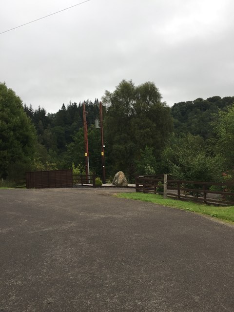
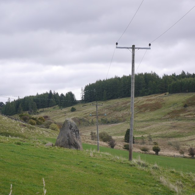
Broad Moss Images
Images are sourced within 2km of 56.617066/-3.3167436 or Grid Reference NO1948. Thanks to Geograph Open Source API. All images are credited.


Broad Moss is located at Grid Ref: NO1948 (Lat: 56.617066, Lng: -3.3167436)
Unitary Authority: Perth and Kinross
Police Authority: Tayside
What 3 Words
///giving.daunted.zoomed. Near Blairgowrie, Perth & Kinross
Nearby Locations
Related Wikis

Blairgowrie F.C.
Blairgowrie Junior Football Club is a Scottish Junior football club based in Blairgowrie and Rattray, Perth and Kinross. Their home ground is Davie Park...
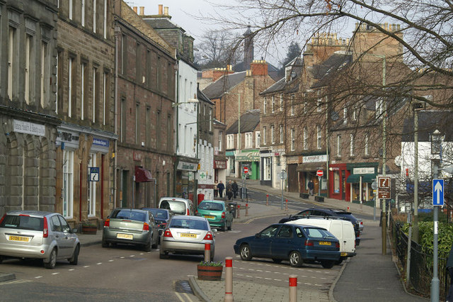
Blairgowrie and Rattray
Blairgowrie and Rattray ( ) is a twin burgh in Perth and Kinross, Scotland. Locals refer to the town as "Blair". Blairgowrie is the larger of the two former...

Blairgowrie railway station
Blairgowrie railway station served the burgh of Blairgowrie and Rattray, Perth and Kinross, Scotland from 1855 to 1955 on the Scottish Midland Junction...

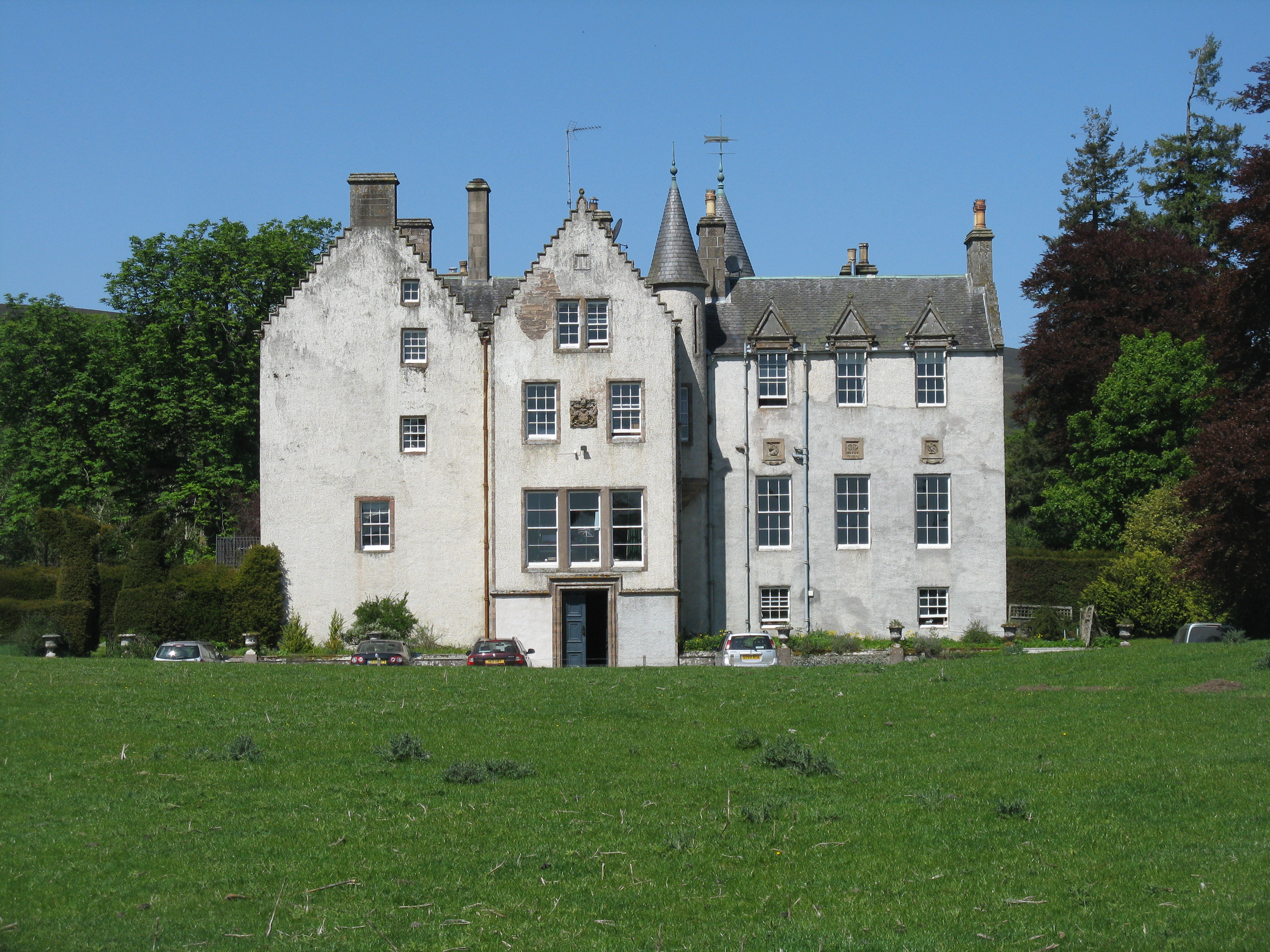
Newton Castle
Newton Castle stands in its grounds near the town of Blairgowrie in Perth and Kinross, Scotland. It is a Category A listed building dating to the mid-16th...

Blairgowrie Community Hospital
Blairgowrie Community Hospital is a health facility in Perth Road, Blairgowrie and Rattray, Scotland. It is managed by NHS Tayside. == History == The first...

Blairgowrie High School
Blairgowrie High School is a high school in Blairgowrie, Scotland. Blairgowrie High School has 719 students (as of September census) from Blairgowrie and...
Bamff
Bamff House is the home of the Ramsays of Bamff, and is located within a 1,300-acre (5.3 km2) estate in Perthshire, Scotland. Bamff House began as a fortified...

Ardblair Castle
Ardblair Castle is an L-plan castle (with an added wing), dating from the 16th century, around 0.75 miles (1.21 km) west of Blairgowrie in Perth and Kinross...
Nearby Amenities
Located within 500m of 56.617066,-3.3167436Have you been to Broad Moss?
Leave your review of Broad Moss below (or comments, questions and feedback).