Braid Law Plantation

Wood, Forest in Midlothian

Scotland

Braid Law Plantation

Cottages at Nine Mile Burn The nearest cottage has clearly been extended in a manner not entirely consistent with the rest of the row.
Cottages at Nine Mile Burn Credit: Oliver Dixon

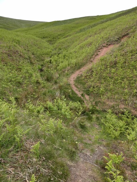
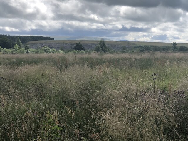
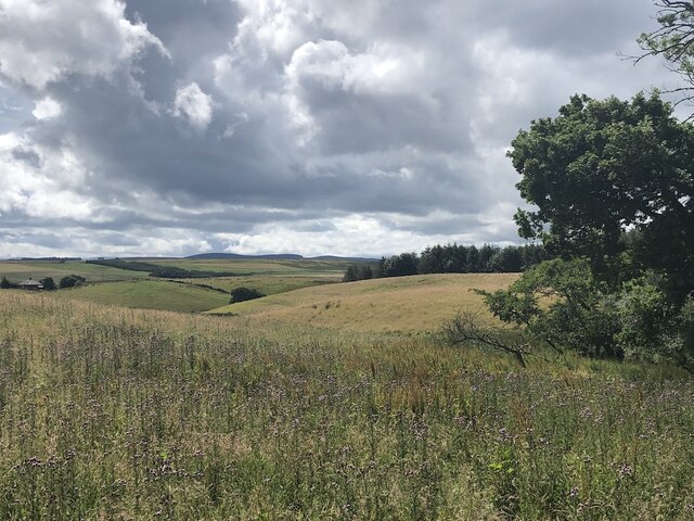
Braid Law Plantation is a sprawling woodland located in Midlothian, Scotland. Situated in the picturesque countryside, this plantation covers a vast area of approximately 200 hectares. The plantation is renowned for its dense forest and is a popular destination for nature enthusiasts and hikers alike.

The woodland is primarily composed of diverse tree species, including Scots pine, birch, oak, and beech. These trees create a rich and vibrant ecosystem, providing habitats for a wide range of flora and fauna. The undergrowth is adorned with ferns, mosses, and wildflowers, adding to the natural beauty of the area.

Braid Law Plantation boasts a network of well-maintained trails, making it an ideal location for outdoor activities such as walking, running, and cycling. The paths wind through the plantation, offering visitors the opportunity to explore the woodland at their own pace. The enchanting atmosphere and peaceful surroundings make it a perfect retreat for those seeking solace in nature.

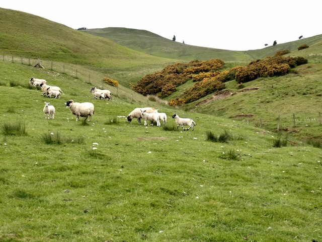
Furthermore, the plantation is home to an array of wildlife. Birdwatchers can spot various species, including woodpeckers, owls, and finches. Mammals such as red squirrels, deer, and foxes can also be observed in their natural habitat.

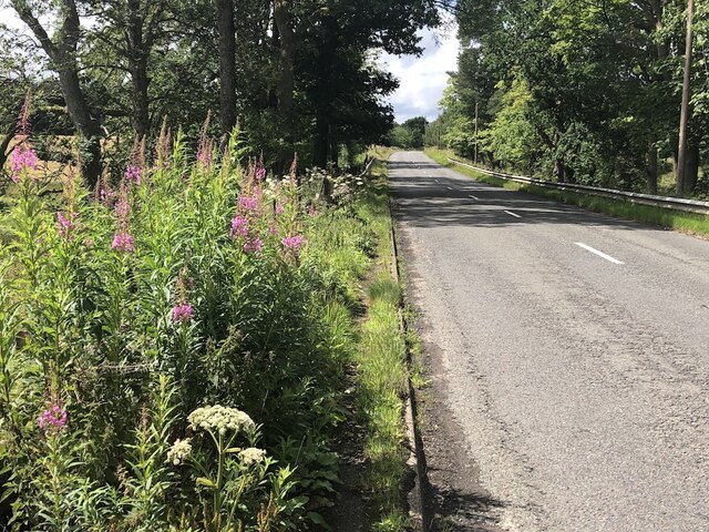
Braid Law Plantation is easily accessible, with ample parking available for visitors. It offers a serene and tranquil escape from the hustle and bustle of everyday life, allowing individuals to immerse themselves in the beauty of nature. Whether it is for a leisurely stroll or an adventurous hike, this woodland sanctuary never fails to captivate and inspire those who venture into its depths.

If you have any feedback on the listing, please let us know in the comments section below.

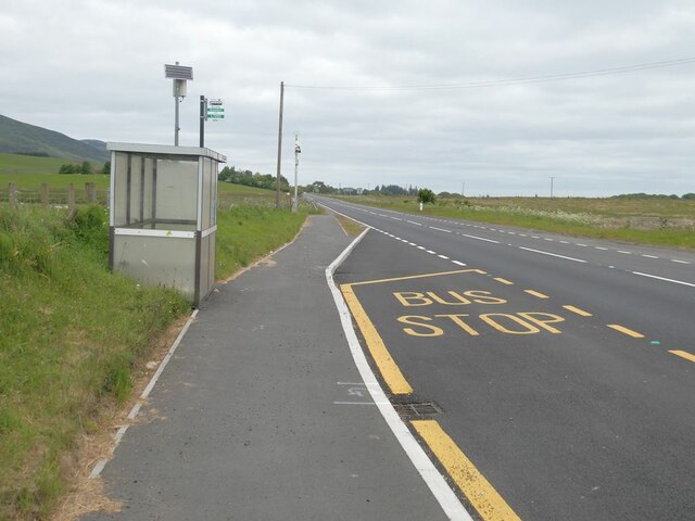
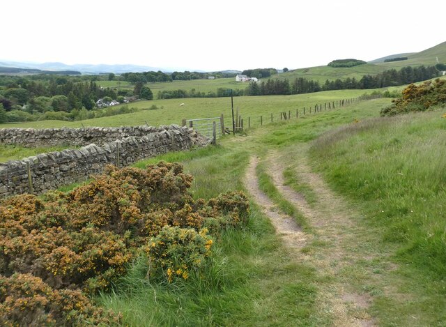
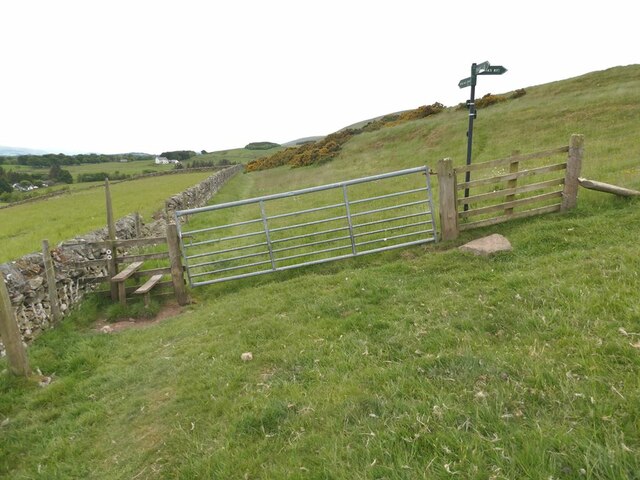
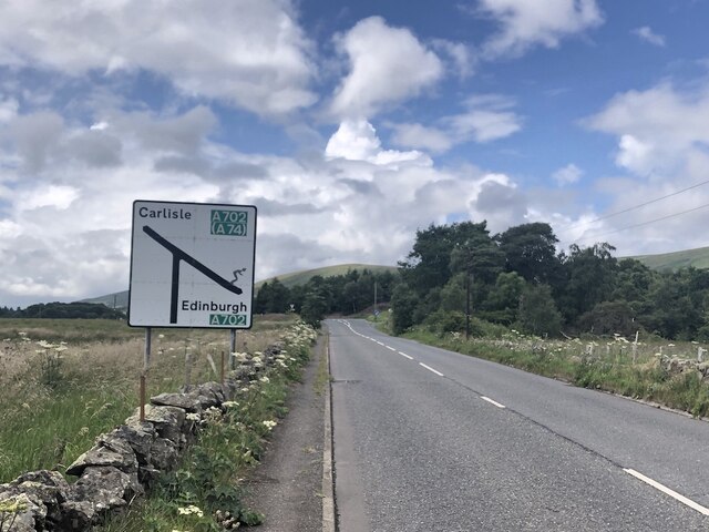
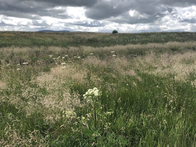
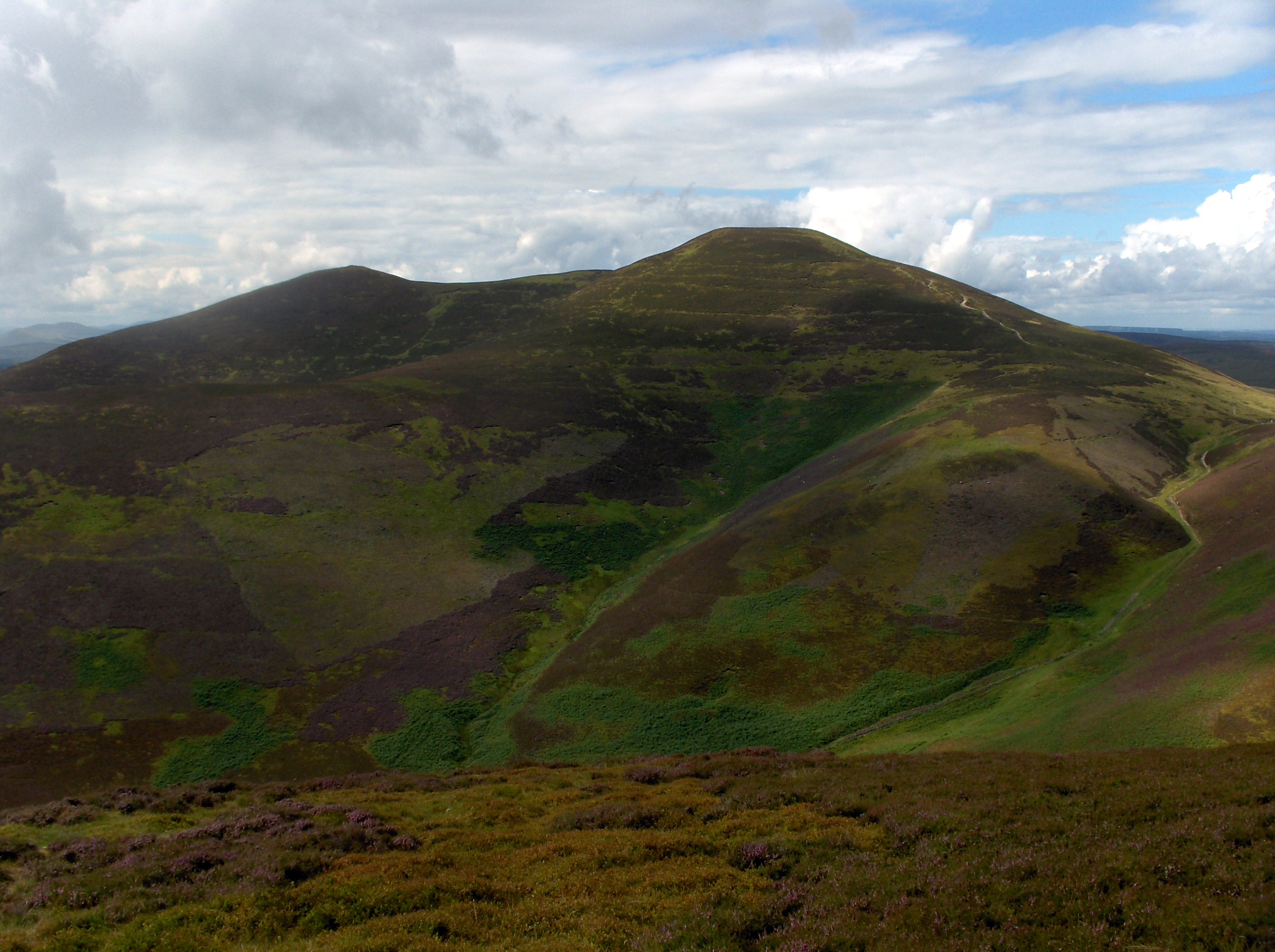
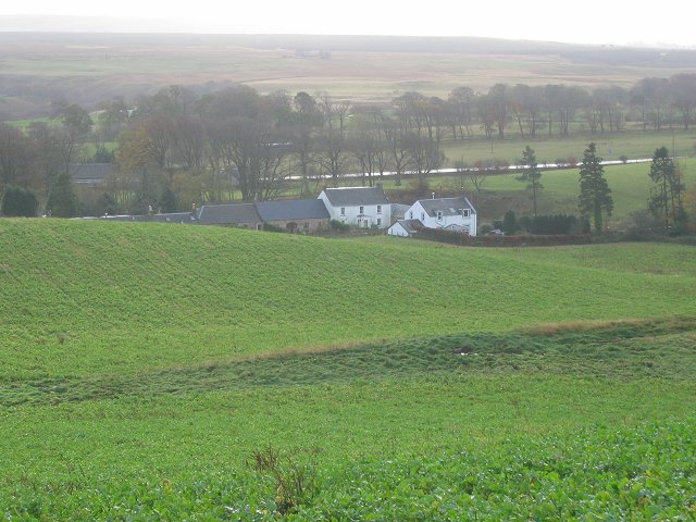
Braid Law Plantation Images

Images are sourced within 2km of 55.82197/-3.3040396 or Grid Reference NT1859. Thanks to Geograph Open Source API. All images are credited.

Cottages at Nine Mile Burn The nearest cottage has clearly been extended in a manner not entirely consistent with the rest of the row.
Cottages at Nine Mile Burn
The nearest cottage has clearly been extended in a manner not entirely consistent with the rest of the row.
Bus stop at Nine Mile Burn On the A702.
Bus stop at Nine Mile Burn
On the A702.
Stile on Scroggy Hill The Pentland Way is a 32 km long-distance path along the length of the Pentland Hills, established in 2015. The section from Nine Mile Burn to West Kip follows a relatively new path up Monk's Rigg (seen here) which does not appear as yet on OS maps.
Stile on Scroggy Hill
The Pentland Way is a 32 km long-distance path along the length of the Pentland Hills, established in 2015. The section from Nine Mile Burn to West Kip follows a relatively new path up Monk's Rigg (seen here) which does not appear as yet on OS maps.
Stile on the Pentland Way Looking across the valley of the Monk's Burn.
Stile on the Pentland Way
Looking across the valley of the Monk's Burn.
Looking down on Nine Mile Burn Hamlet set back from the A702. Moorfoot Hills in the distance.
Looking down on Nine Mile Burn
Hamlet set back from the A702. Moorfoot Hills in the distance.
Track above Nine Mile Burn
Gate on track above Nine Mile Burn The signpost points to alternative routes up to the summit of West Kip - Monk's Rigg (to the right) and Braid Law (towards the camera).
Gate on track above Nine Mile Burn
The signpost points to alternative routes up to the summit of West Kip - Monk's Rigg (to the right) and Braid Law (towards the camera).
Wool gathering On a fence above Walstone Farm.
Wool gathering
On a fence above Walstone Farm.
Sheep in the valley of the Walstone Burn Cap Law on the skyline.
Sheep in the valley of the Walstone Burn
Cap Law on the skyline.
Path in the valley  of the Quarrel Burn Heading up Braid Law.
Path in the valley of the Quarrel Burn
Heading up Braid Law.
Path across the Quarrel Burn Quarrel Burn Reservoir in the background.
Path across the Quarrel Burn
Quarrel Burn Reservoir in the background.
Rough ground by the Carlops Road Appears not to have been grazed for some time.
Rough ground by the Carlops Road
Appears not to have been grazed for some time.
Rough ground by the Carlops Road The field above the Braidwood Burn appears to have been left ungrazed or unmown.
Rough ground by the Carlops Road
The field above the Braidwood Burn appears to have been left ungrazed or unmown.
Near Brunstane View from the very scenic Penicuik  to Carlops road.
Near Brunstane
View from the very scenic Penicuik to Carlops road.
A766, Braidwood
A766, Braidwood
West end of the A766 The A766 is a very scenic short road out of Penicuik.  Note the skier on the sign - the Pentland Hills are very popular with skiers in Winter and there is also the all season slope at Hillend, so very appropriate.
West end of the A766
The A766 is a very scenic short road out of Penicuik. Note the skier on the sign - the Pentland Hills are very popular with skiers in Winter and there is also the all season slope at Hillend, so very appropriate.
Walstone Moss Bog and moorland beneath the Pentland Hills.
Walstone Moss
Bog and moorland beneath the Pentland Hills.
Walstone Moss
Walstone Moss
Show me another place!

Braid Law Plantation is located at Grid Ref: NT1859 (Lat: 55.82197, Lng: -3.3040396)

Unitary Authority: Midlothian

Police Authority: The Lothians and Scottish Borders

What 3 Words

///vowed.request.dishing. Near Penicuik, Midlothian

Related Wikis

Eight Mile Burn

Eight Mile Burn is a small settlement in Midlothian, South East Scotland, at the base of Pentland Hills Regional Park. It is approximately 11 miles from...

South Black Hill

South Black Hill is a hill in the Pentland Hills range of Scotland. It is located in the west of Midlothian on the east flank of the approximately 25 km...

Scald Law

Scald Law is a hill in Midlothian, Scotland. At 579 metres (1,900 ft) it is the highest of the Pentland Hills. The hill is composed of Devonian volcanic...

Nine Mile Burn

Nine Mile Burn is a hamlet in Midlothian, Scotland, the last in Midlothian when heading south on the A702 road. It is located at the foot of the Pentland...

Nearby Amenities

Located within 500m of 55.82197,-3.3040396
Braid Law
Ele: 436
Natural: peak
Wikidata: Q19275699
Lat/Long: 55.8206012/-3.3059916
Power: pole
Lat/Long: 55.8231761/-3.2966154
Power: pole
Lat/Long: 55.8237359/-3.297532
Power: pole
Lat/Long: 55.8242686/-3.2984318
Power: pole
Lat/Long: 55.8248153/-3.2993169
Power: pole
Lat/Long: 55.8253432/-3.300202
Power: pole
Lat/Long: 55.8258687/-3.301085
Power: pole
Lat/Long: 55.82559/-3.3022981
Power: pole
Lat/Long: 55.8253102/-3.3035133
Power: pole
Lat/Long: 55.8250657/-3.3045582
Power: pole
Lat/Long: 55.824872/-3.3053802
The data included in this document is from www.openstreetmap.org. The data is made available under ODbL.

Have you been to Braid Law Plantation?

Leave your review of Braid Law Plantation below (or comments, questions and feedback).