Braid Law

Hill, Mountain in Midlothian

Scotland

Braid Law

Cottages at Nine Mile Burn The nearest cottage has clearly been extended in a manner not entirely consistent with the rest of the row.
Cottages at Nine Mile Burn Credit: Oliver Dixon

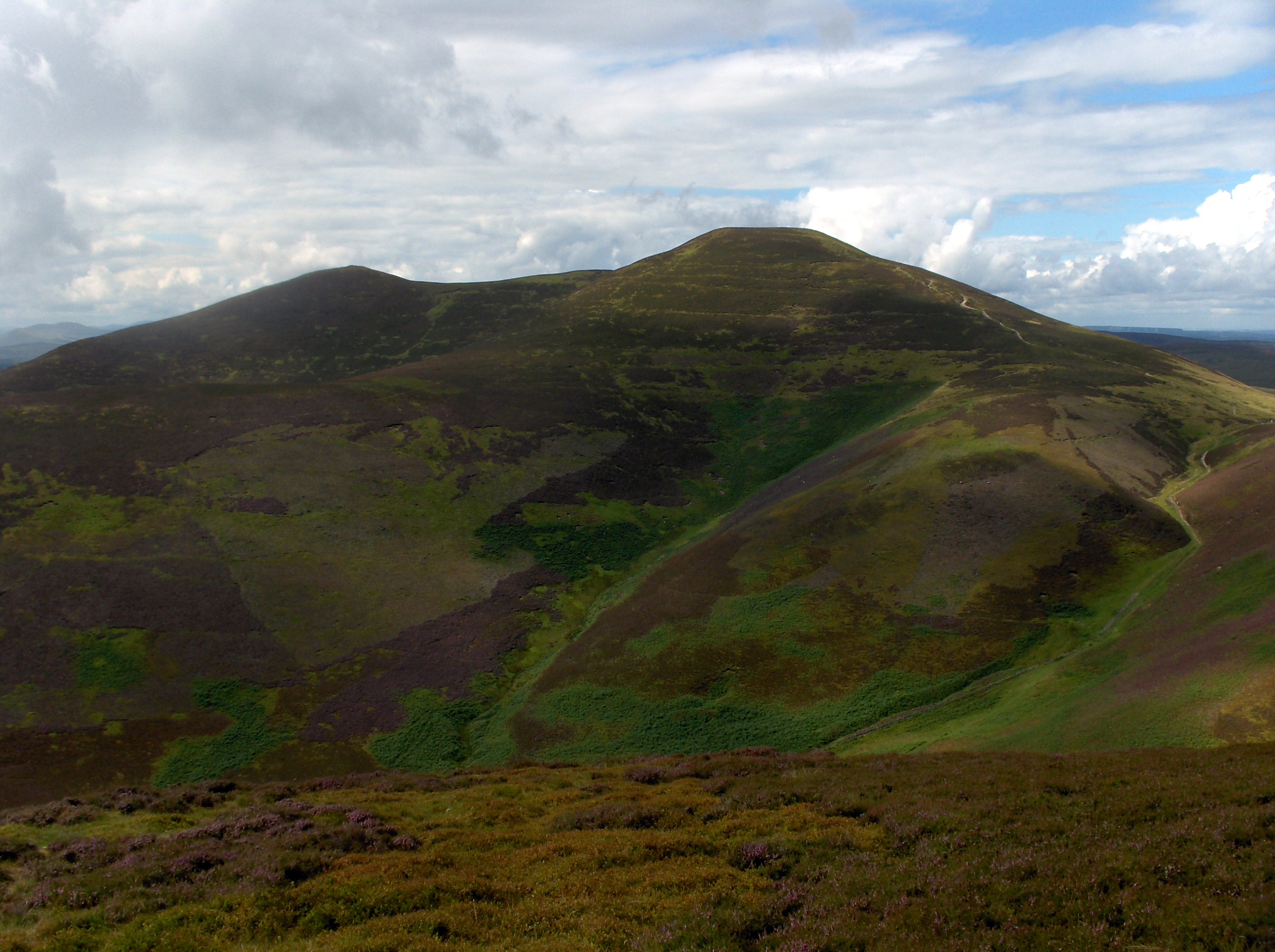
Braid Law, located in Midlothian, Scotland, is a prominent hill or mountain that stands at an elevation of approximately 197 meters (646 feet) above sea level. It is part of the Pentland Hills range, which stretches across the southern outskirts of Edinburgh. Braid Law is situated about 8 kilometers (5 miles) south of the city center, making it easily accessible for locals and tourists alike.

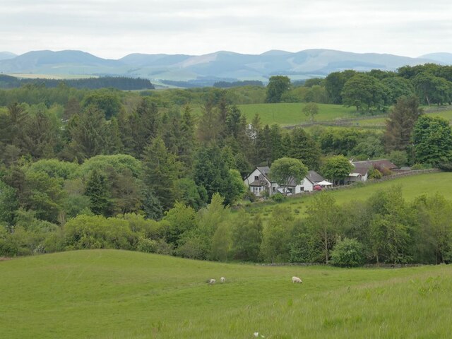
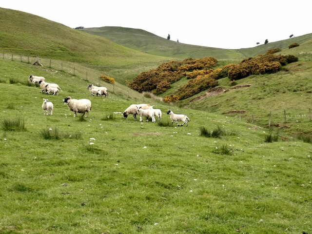
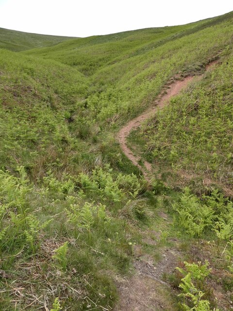
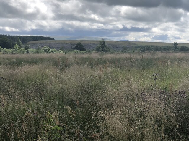
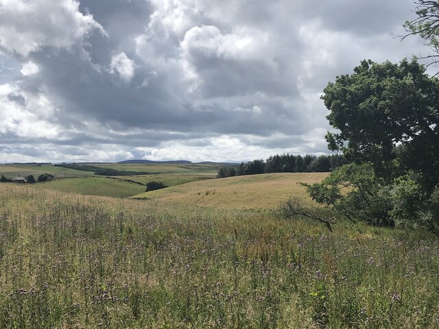
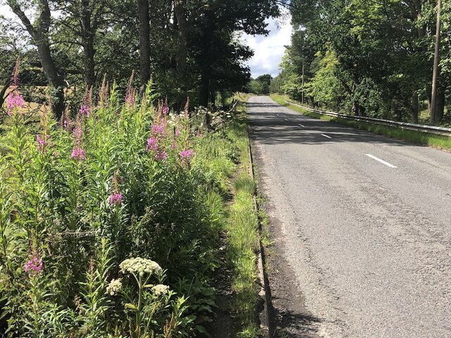
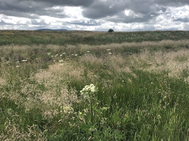
The hill features a distinctive conical shape with a grassy summit, offering panoramic views of the surrounding countryside, including the city of Edinburgh, the Firth of Forth, and the Pentland Hills range. These breathtaking vistas make Braid Law a popular destination for hikers, nature enthusiasts, and photographers.

The hill is also known for its rich biodiversity, with a variety of plant and animal species inhabiting the area. Visitors can spot heather, gorse, and wildflowers in bloom during the summer months, while kestrels, buzzards, and other bird species can be seen soaring in the skies above.

Braid Law has a long history, dating back to prehistoric times, with evidence of ancient settlements found in the surrounding area. Today, the hill is protected as part of the Braidburn Valley Park, a green space that offers recreational opportunities for the local community.

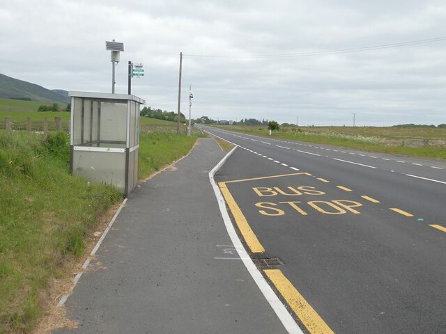
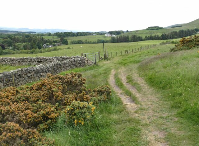
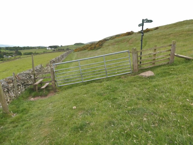
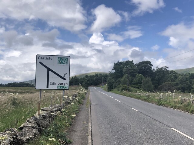
Access to Braid Law is facilitated by a network of well-maintained paths, allowing visitors to explore the hill at their own pace. The hill's proximity to the city makes it an ideal spot for a day hike or a peaceful retreat from the urban hustle and bustle.

If you have any feedback on the listing, please let us know in the comments section below.

Braid Law Images

Images are sourced within 2km of 55.821124/-3.3066769 or Grid Reference NT1859. Thanks to Geograph Open Source API. All images are credited.

Cottages at Nine Mile Burn The nearest cottage has clearly been extended in a manner not entirely consistent with the rest of the row.
Cottages at Nine Mile Burn
The nearest cottage has clearly been extended in a manner not entirely consistent with the rest of the row.
Bus stop at Nine Mile Burn On the A702.
Bus stop at Nine Mile Burn
On the A702.
Stile on Scroggy Hill The Pentland Way is a 32 km long-distance path along the length of the Pentland Hills, established in 2015. The section from Nine Mile Burn to West Kip follows a relatively new path up Monk's Rigg (seen here) which does not appear as yet on OS maps.
Stile on Scroggy Hill
The Pentland Way is a 32 km long-distance path along the length of the Pentland Hills, established in 2015. The section from Nine Mile Burn to West Kip follows a relatively new path up Monk's Rigg (seen here) which does not appear as yet on OS maps.
Stile on the Pentland Way Looking across the valley of the Monk's Burn.
Stile on the Pentland Way
Looking across the valley of the Monk's Burn.
Looking down on Nine Mile Burn Hamlet set back from the A702. Moorfoot Hills in the distance.
Looking down on Nine Mile Burn
Hamlet set back from the A702. Moorfoot Hills in the distance.
"The Firs" Houses to the west of Nine Mile Burn. Moorfoot Hills in the distance.
"The Firs"
Houses to the west of Nine Mile Burn. Moorfoot Hills in the distance.
Track above Nine Mile Burn
Gate on track above Nine Mile Burn The signpost points to alternative routes up to the summit of West Kip - Monk's Rigg (to the right) and Braid Law (towards the camera).
Gate on track above Nine Mile Burn
The signpost points to alternative routes up to the summit of West Kip - Monk's Rigg (to the right) and Braid Law (towards the camera).
Wool gathering On a fence above Walstone Farm.
Wool gathering
On a fence above Walstone Farm.
Sheep in the valley of the Walstone Burn Cap Law on the skyline.
Sheep in the valley of the Walstone Burn
Cap Law on the skyline.
Path in the valley  of the Quarrel Burn Heading up Braid Law.
Path in the valley of the Quarrel Burn
Heading up Braid Law.
Path across the Quarrel Burn Quarrel Burn Reservoir in the background.
Path across the Quarrel Burn
Quarrel Burn Reservoir in the background.
Rough ground by the Carlops Road Appears not to have been grazed for some time.
Rough ground by the Carlops Road
Appears not to have been grazed for some time.
Rough ground by the Carlops Road The field above the Braidwood Burn appears to have been left ungrazed or unmown.
Rough ground by the Carlops Road
The field above the Braidwood Burn appears to have been left ungrazed or unmown.
Near Brunstane View from the very scenic Penicuik  to Carlops road.
Near Brunstane
View from the very scenic Penicuik to Carlops road.
A766, Braidwood
A766, Braidwood
West end of the A766 The A766 is a very scenic short road out of Penicuik.  Note the skier on the sign - the Pentland Hills are very popular with skiers in Winter and there is also the all season slope at Hillend, so very appropriate.
West end of the A766
The A766 is a very scenic short road out of Penicuik. Note the skier on the sign - the Pentland Hills are very popular with skiers in Winter and there is also the all season slope at Hillend, so very appropriate.
Walstone Moss Bog and moorland beneath the Pentland Hills.
Walstone Moss
Bog and moorland beneath the Pentland Hills.
Show me another place!

Braid Law is located at Grid Ref: NT1859 (Lat: 55.821124, Lng: -3.3066769)

Unitary Authority: Midlothian

Police Authority: The Lothians and Scottish Borders

What 3 Words

///euphoric.tube.grow. Near Penicuik, Midlothian

Related Wikis

Eight Mile Burn

Eight Mile Burn is a small settlement in Midlothian, South East Scotland, at the base of Pentland Hills Regional Park. It is approximately 11 miles from...

South Black Hill

South Black Hill is a hill in the Pentland Hills range of Scotland. It is located in the west of Midlothian on the east flank of the approximately 25 km...

Nine Mile Burn

Nine Mile Burn is a hamlet in Midlothian, Scotland, the last in Midlothian when heading south on the A702 road. It is located at the foot of the Pentland...

Scald Law

Scald Law is a hill in Midlothian, Scotland. At 579 metres (1,900 ft) it is the highest of the Pentland Hills. The hill is composed of Devonian volcanic...

Brunstane Castle

Brunstane Castle (alternatively Brunston, Brunstain or Brunstone Castle) is a ruined tower house, dating from the 16th century, around 2 miles (3.2 km...

Silverburn, Midlothian

Silverburn is a small hamlet near Penicuik, in Midlothian, south-east Scotland. It has a small community centre, with a garden surrounding the hall, which...

Loganlea Reservoir

Loganlea Reservoir is a small reservoir in the Pentland Hills, Midlothian, Scotland, UK. The Logan Burn connects the reservoir with Glencorse Reservoir...

Carnethy Hill

Carnethy Hill, the second highest of the Pentland Hills, is a hill 3 miles (5 km) north-west of Penicuik, Scotland. It lends its name to the Carnethy 5...

Nearby Amenities

Located within 500m of 55.821124,-3.3066769
Braid Law
Ele: 436
Natural: peak
Wikidata: Q19275699
Lat/Long: 55.8206012/-3.3059916
Power: pole
Lat/Long: 55.8250657/-3.3045582
Power: pole
Lat/Long: 55.824872/-3.3053802
The data included in this document is from www.openstreetmap.org. The data is made available under ODbL.

Have you been to Braid Law?

Leave your review of Braid Law below (or comments, questions and feedback).