Duncan's Belt
Wood, Forest in Midlothian
Scotland
Duncan's Belt
Duncan's Belt is a picturesque woodland area located in Midlothian, Scotland. Situated near the town of Wood, this enchanting forest is a popular destination for nature enthusiasts and outdoor adventurers alike.
Covering an expansive area of approximately 500 acres, Duncan's Belt offers visitors a diverse range of flora and fauna, making it a haven for wildlife. The forest is predominantly comprised of native Scottish tree species, including oak, birch, and pine. These towering trees create a dense canopy, providing shade and shelter for a variety of small mammals, birds, and insects.
Tranquil pathways wind their way through the forest, allowing visitors to explore the beauty of Duncan's Belt at their own pace. The well-maintained trails offer breathtaking views of the surrounding countryside, with glimpses of rolling hills and meandering rivers.
Nature enthusiasts will find plenty to discover within Duncan's Belt. The forest is home to a rich assortment of wildlife, including red squirrels, badgers, and various species of birds. Birdwatchers can spot woodpeckers, owls, and even the occasional buzzard soaring above the treetops. The forest also boasts an array of wildflowers, providing bursts of color throughout the seasons.
Duncan's Belt is not only a haven for wildlife, but also a recreational paradise. The forest offers numerous activities for visitors to enjoy, such as hiking, cycling, and picnicking. With designated picnic areas and well-marked trails, it is an ideal destination for families and outdoor enthusiasts seeking a day of exploration and relaxation.
In conclusion, Duncan's Belt is a captivating woodland area in Midlothian, Scotland, where visitors can immerse themselves in the wonders of nature. From its diverse flora and fauna to its scenic trails and recreational activities, this forest offers an idyllic escape for individuals seeking tranquility and adventure in equal measure.
If you have any feedback on the listing, please let us know in the comments section below.
Duncan's Belt Images
Images are sourced within 2km of 55.888075/-3.3144424 or Grid Reference NT1766. Thanks to Geograph Open Source API. All images are credited.


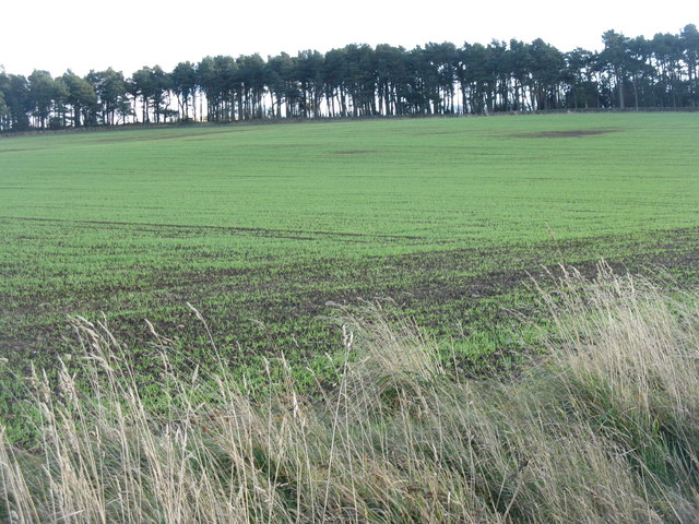


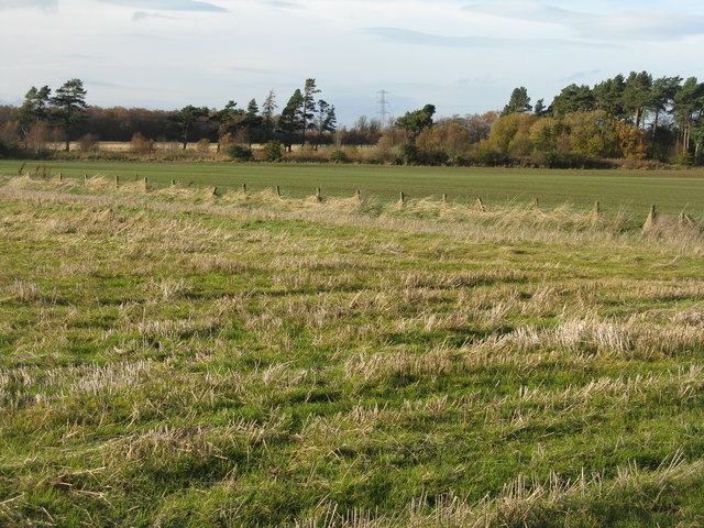
![Winter wheat in the Pentland Hills A recently sown field where once there would only have been rough pasture. New cultivars allow winter cereals to be grown in quite severe conditions. This crop is not yet germinating, and there is evidence of erosion from rain run-off in the foreground. The long low hills in the distance are West and East Cairn Hills [10km to the southwest], the one on the left is Hare Hill, much nearer at 4km.](https://s0.geograph.org.uk/geophotos/02/67/63/2676348_944a7245.jpg)

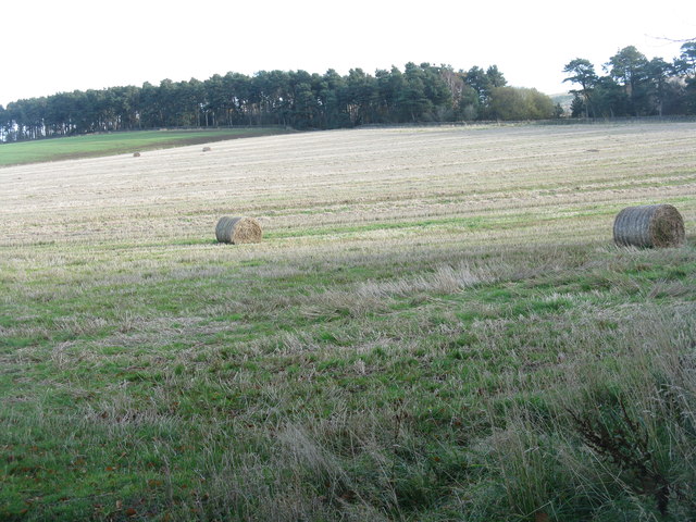
![November poppy in the barley stubble A Field Poppy [Papaver rhoeas] at Kinleith above Currie, in the foothills of the Pentlands.](https://s1.geograph.org.uk/geophotos/02/67/64/2676461_94a2f9f9.jpg)
Duncan's Belt is located at Grid Ref: NT1766 (Lat: 55.888075, Lng: -3.3144424)
Unitary Authority: City of Edinburgh
Police Authority: Edinburgh
What 3 Words
///hogs.factories.lively. Near Currie, Edinburgh
Nearby Locations
Related Wikis

Lennox Tower
Lennox Tower is a ruinous fifteenth-century tower house at Lymphoy, near the Water of Leith, between Balerno and Currie, 11 kilometres (6.8 mi) south-west...

Edinburgh South West (UK Parliament constituency)
Edinburgh South West is a Scottish constituency of the House of Commons of the Parliament of the United Kingdom, first used at the 2005 UK general election...

Currie railway station
Currie railway station was opened in 1874 and served the area of the village of Currie that now forms part of the city of Edinburgh. Although primarily...

Currie High School
Currie Community High School is a six-year comprehensive school serving the south-west of the City of Edinburgh, Scotland. The school roll currently stands...
Nearby Amenities
Located within 500m of 55.888075,-3.3144424Have you been to Duncan's Belt?
Leave your review of Duncan's Belt below (or comments, questions and feedback).