Ayeon Wood
Wood, Forest in Banffshire
Scotland
Ayeon Wood
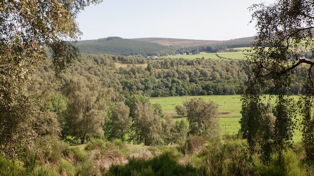
Ayeon Wood, located in Banffshire, Scotland, is a picturesque forest that spans over a vast area of land. Nestled within the scenic landscapes of the Cairngorms National Park, this enchanting woodland is a haven for nature lovers and outdoor enthusiasts. The forest boasts a diverse range of flora and fauna, making it an ideal destination for wildlife spotting and plant appreciation.
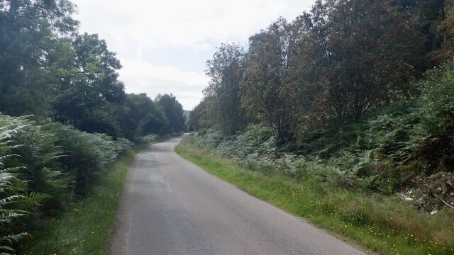
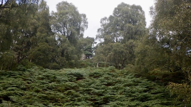
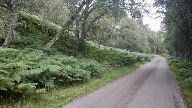
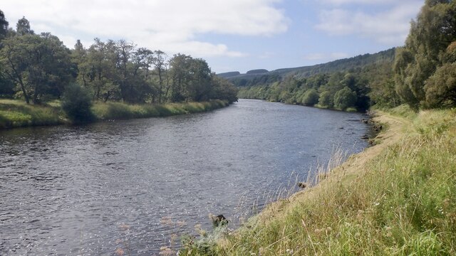
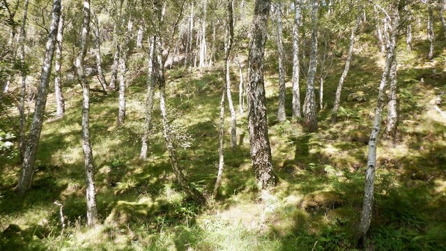
Covering an area of approximately 500 acres, Ayeon Wood is characterized by its dense canopy of towering trees, predominantly consisting of native species such as oak, birch, and pine. The forest floor is adorned with a myriad of wildflowers, creating a vibrant tapestry of colors during the summer months.
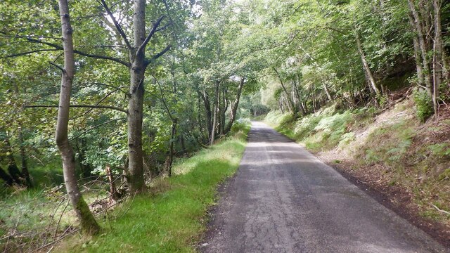
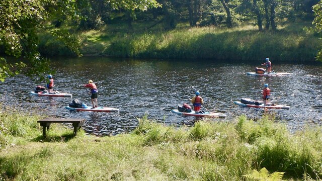
The woodland is crisscrossed by numerous walking trails, inviting visitors to explore its beauty at their own pace. These well-maintained paths lead adventurers through serene groves, babbling brooks, and hidden clearings. Along the way, one may encounter various animal species, including red squirrels, deer, and a rich variety of birdlife.
Ayeon Wood is not only a natural gem but also holds historical significance. The forest has played a role in the region's timber industry, dating back to the 18th century. Today, it stands as a protected area, allowing visitors to experience the splendor of an ancient forest in its unspoiled state.
With its tranquil ambiance and breathtaking scenery, Ayeon Wood offers a tranquil escape from the hustle and bustle of city life. Whether it's a leisurely stroll, a photography expedition, or simply a moment of solitude amidst nature, this Banffshire woodland promises an unforgettable experience for all who venture into its depths.
If you have any feedback on the listing, please let us know in the comments section below.
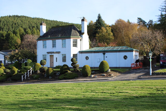
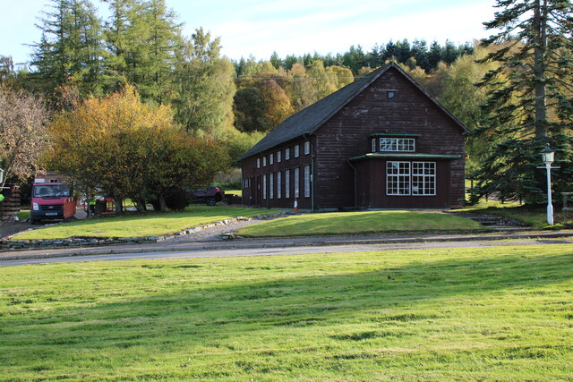
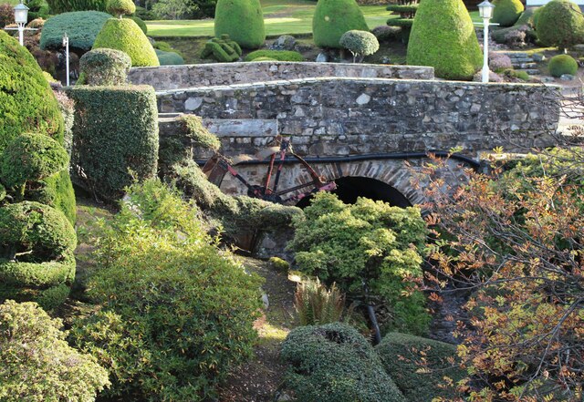
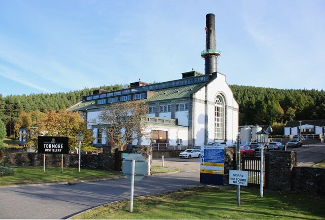
Ayeon Wood Images
Images are sourced within 2km of 57.406898/-3.3978097 or Grid Reference NJ1636. Thanks to Geograph Open Source API. All images are credited.
Ayeon Wood is located at Grid Ref: NJ1636 (Lat: 57.406898, Lng: -3.3978097)
Unitary Authority: Moray
Police Authority: North East
What 3 Words
///awaited.roosts.warthog. Near Charlestown of Aberlour, Moray
Nearby Locations
Related Wikis

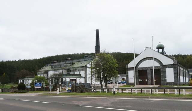
Cragganmore distillery
Cragganmore distillery is a Scotch whisky distillery situated in the village of Ballindalloch in Banffshire, Scotland. == History == The distillery was...

Ballindalloch railway station
Ballindalloch railway station served the village of Ballindalloch, Banffshire, Scotland from 1863 to 1965 on the Strathspey Railway. == History == The...

Ballindalloch Railway Bridge
The Ballindalloch Railway Bridge is a former railway bridge on the crossing the River Spey at Ballindalloch in Moray, Scotland. Built in 1863 as a part...

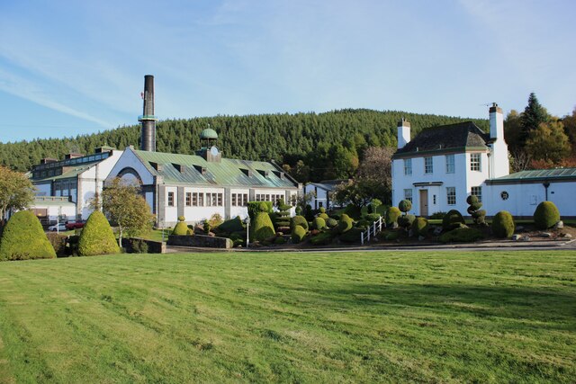
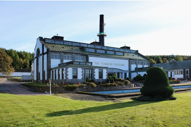
Tormore distillery
Tormore distillery is a Speyside single malt Scotch whisky distillery located approximately 1 km south of the River Spey. Its water source is the Allt...

River Avon, Strathspey
The River Avon (locally “Aan” /ɑːn/) is a river in the Strathspey area of the Scottish Highlands, and a tributary of the River Spey. It drains the north...
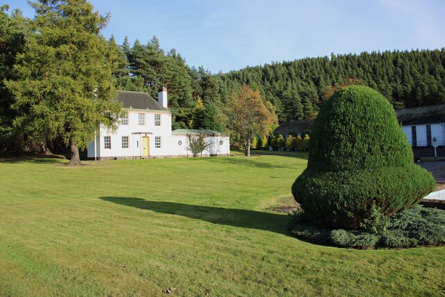
Ballindalloch
Ballindalloch (Scottish Gaelic: Baile na Dalach) is a small village on the River Spey in Scotland. It is known for its whisky distilleries and for Ballindalloch...
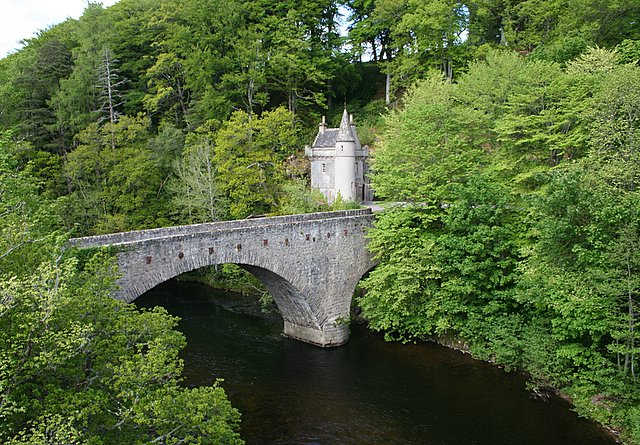
Bridge of Avon
The Bridge of Avon is a bridge over the River Avon at Ballindalloch in Moray, Scotland, built between 1800 and 1801 by George Burn. The bridge is mainly...
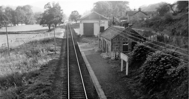
Blacksboat railway station
Blacksboat railway station served the village of Ballindalloch, Banffshire, Scotland from 1863 to 1965 on the Strathspey Railway. == History == The station...
Nearby Amenities
Located within 500m of 57.406898,-3.3978097Have you been to Ayeon Wood?
Leave your review of Ayeon Wood below (or comments, questions and feedback).