Shortrigg Wood

Wood, Forest in Dumfriesshire

Scotland

Shortrigg Wood

Bridge over A74(M)
Bridge over A74(M) Credit: Alpin Stewart

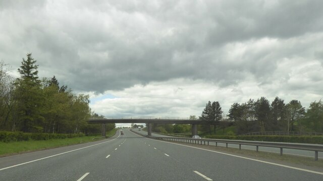
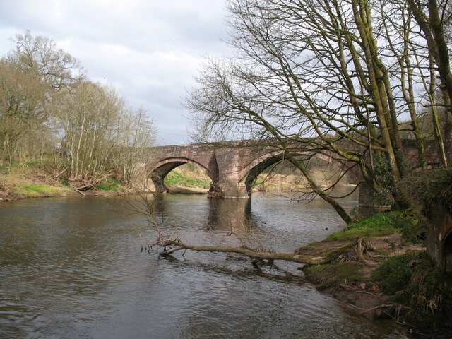
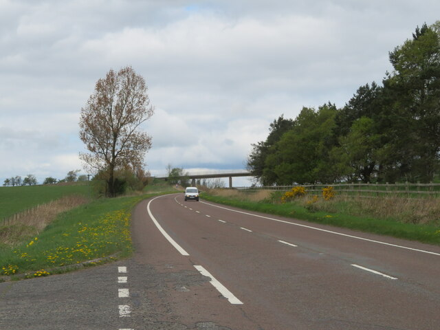
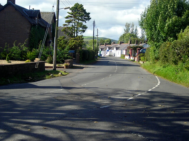
Shortrigg Wood is a picturesque forest located in Dumfriesshire, Scotland. Covering an area of approximately 50 hectares, this woodland is a delightful haven for nature enthusiasts and outdoor adventurers alike.

The wood is predominantly composed of native tree species, including oak, birch, and ash. Many of these trees are mature and have been standing for centuries, lending an air of tranquility and wisdom to the surroundings. The forest floor is adorned with a rich carpet of mosses, ferns, and wildflowers, creating a vibrant and diverse ecosystem.

A network of well-maintained footpaths winds through Shortrigg Wood, allowing visitors to explore its beauty at their own pace. The paths lead to various points of interest, such as a small stream that meanders through the forest, adding to its ethereal charm. Birdwatchers will be delighted to find a variety of avian species inhabiting the wood, including woodpeckers, owls, and songbirds.

Shortrigg Wood also holds historical significance, as it is said to have been a hiding place for outlaws and rebels during times of unrest in the region. Visitors can stumble upon remnants of old stone walls and ruins, providing glimpses into the past and adding an element of mystery to the woodland.

Overall, Shortrigg Wood is a captivating natural gem, offering a serene escape from the bustle of everyday life. Its lush vegetation, diverse wildlife, and intriguing history make it a must-visit destination for anyone seeking to immerse themselves in the beauty of Dumfriesshire's countryside.

If you have any feedback on the listing, please let us know in the comments section below.

Shortrigg Wood Images

Images are sourced within 2km of 55.058895/-3.314965 or Grid Reference NY1674. Thanks to Geograph Open Source API. All images are credited.

Bridge over A74(M)
Bridge over A74(M)
Entrance to Hoddom Castle
View from Hoddum Bridge
OS Flush Bracket G4255 Hoddom Bridge <span class="nowrap"><a title="https://www.bench-marks.org.uk/bm445" rel="nofollow ugc noopener" href="https://www.bench-marks.org.uk/bm445">Link</a><img style="margin-left:2px;" alt="External link" title="External link - shift click to open in new window" src="https://s1.geograph.org.uk/img/external.png" width="10" height="10"/></span>
OS Flush Bracket G4255 Hoddom Bridge
Hoddom Bridge The eighteenth century Hoddom Bridge is Category A listed and carries the B723 road across the River Annan.
The Annandale Way long distance path crosses the bridge.
Hoddom Bridge
The eighteenth century Hoddom Bridge is Category A listed and carries the B723 road across the River Annan. The Annandale Way long distance path crosses the bridge.
Mainhill Farm A large dairy farm between Lockerbie and Ecclefechan.
Mainhill Farm
A large dairy farm between Lockerbie and Ecclefechan.
Pasture at Mainhill farm And the road to the farm and a watering cistern.
Pasture at Mainhill farm
And the road to the farm and a watering cistern.
B7076 roadside A grassy bank, with Gorse and an Ash sapling, slopes down to grass field at Mainhill farm.
B7076 roadside
A grassy bank, with Gorse and an Ash sapling, slopes down to grass field at Mainhill farm.
The B7076 at Mainhill The original A74, now the B7076, runs parallel to the motorway. The bridge ahead gives Mainhill farm access across the A74(M).
The B7076 at Mainhill
The original A74, now the B7076, runs parallel to the motorway. The bridge ahead gives Mainhill farm access across the A74(M).
Hoddom Castle Picturesque dereliction in the centre of a top-rated caravan site with own golf course.
Hoddom Castle
Picturesque dereliction in the centre of a top-rated caravan site with own golf course.
Hoddom Bridge Bridge over deep pool on the River Annan
Hoddom Bridge
Bridge over deep pool on the River Annan
Royal's Memorial, River Annan 1898 memorial to an otterhound who died of pneumonia after too long in the river. Are there any otterhounds still surviving?
Royal's Memorial, River Annan
1898 memorial to an otterhound who died of pneumonia after too long in the river. Are there any otterhounds still surviving?
Dead Tree, Hoddom An obstacle which blocks the approach to the 2nd hole on the Hoddom Castle course.
Dead Tree, Hoddom
An obstacle which blocks the approach to the 2nd hole on the Hoddom Castle course.
Hoddom Castle Campsite First opening weekend 2007. The campervan is an Autosleeper Trident.
Hoddom Castle Campsite
First opening weekend 2007. The campervan is an Autosleeper Trident.
Cherry Blossom Hoddom Castle
Bend in the Annan, Hoddom Graveyard of many a sliced golf ball
Bend in the Annan, Hoddom
Graveyard of many a sliced golf ball
Hoddom Golf Course The third hole at Hall's Pool
Hoddom Golf Course
The third hole at Hall's Pool
Gale casualty, Annanside Hoddom Golf course in a beautiful bend of the Annan
Gale casualty, Annanside
Hoddom Golf course in a beautiful bend of the Annan
Show me another place!

Shortrigg Wood is located at Grid Ref: NY1674 (Lat: 55.058895, Lng: -3.314965)

Unitary Authority: Dumfries and Galloway

Police Authority: Dumfries and Galloway

What 3 Words

///powering.claims.window. Near Lockerbie, Dumfries & Galloway

Nearby Locations

Shortrigg Wood

Related Wikis

Hoddom

Hoddom is a small settlement and civil parish in Dumfries and Galloway, Scotland, dating back to the 8th century. == Location == Hoddom is 13 miles by...
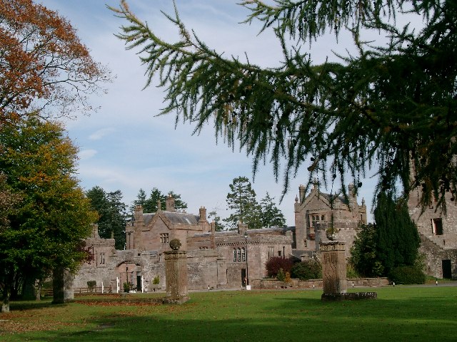
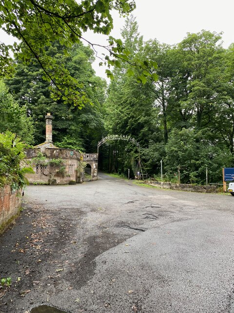
Hoddom Castle

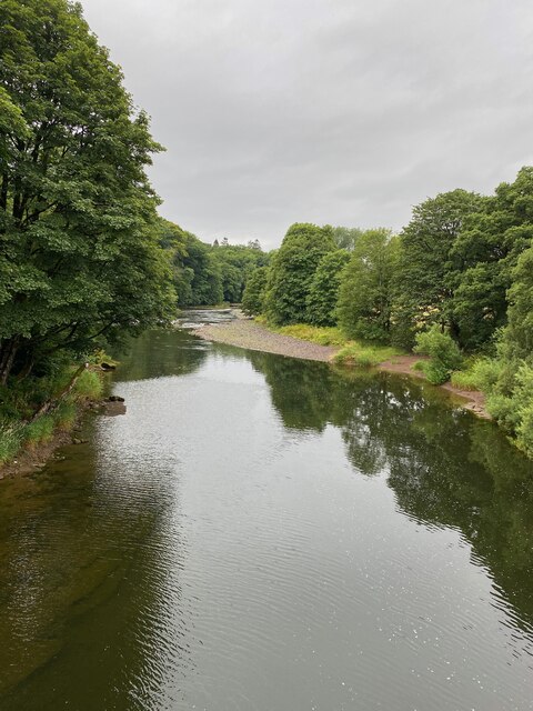
Hoddom Castle is a large tower house in Dumfries and Galloway, south Scotland. It is located by the River Annan, 4 kilometres (2.5 mi) south-west of Ecclefechan...

Ecclefechan railway station

Ecclefechan railway station was a station which served the rural area around Ecclefechan, south of Lockerbie in Applegarth parish, Scottish county of Dumfries...

Thomas Carlyle's Birthplace

Thomas Carlyle's Birthplace is a house in Ecclefechan, Dumfries and Galloway, Scotland, UK, in which Thomas Carlyle, who was to become a pre-eminent man...

Ecclefechan

Ecclefechan (Scottish Gaelic: Eaglais Fheichein) is a small village located in Dumfries and Galloway in the south of Scotland. The village is famous for...

Dalton, Dumfries and Galloway

The village of Dalton is a small settlement about 10 miles (16 km) southeast of Dumfries and 4 miles (6.4 km) south of Lockerbie, in Dumfries and Galloway...

Brydekirk

Brydekirk (Scottish Gaelic: Eaglais Bhride) is a village in Annandale in Dumfries and Galloway, Scotland located approximately 4 km north of Annan. The...

Dogslacks

Dogslacks is a farmstead in the Parish of Middlebie, in the Stewartry of Kirkcudbright in Scotland. == References == Dogslacks at the National Archives...

Nearby Amenities

Located within 500m of 55.058895,-3.314965
Power: pole
Lat/Long: 55.0546881/-3.312345
Power: pole
Lat/Long: 55.0547956/-3.3136794
Power: pole
Lat/Long: 55.0549183/-3.3152017
Power: pole
Lat/Long: 55.0553122/-3.3165696
Power: pole
Lat/Long: 55.0556442/-3.3177004
Power: pole
Lat/Long: 55.0559437/-3.3187617
Power: pole
Lat/Long: 55.0563318/-3.3201733
Power: pole
Lat/Long: 55.0567286/-3.321536
Power: pole
Lat/Long: 55.0585094/-3.3224737
Power: pole
Lat/Long: 55.0591365/-3.3219301
Power: pole
Lat/Long: 55.0597546/-3.3213943
Power: pole
Lat/Long: 55.0603846/-3.3208688
Power: pole
Lat/Long: 55.0556353/-3.3144109
Power: pole
Lat/Long: 55.056528/-3.3134552
The data included in this document is from www.openstreetmap.org. The data is made available under ODbL.

Have you been to Shortrigg Wood?

Leave your review of Shortrigg Wood below (or comments, questions and feedback).