Crowhill Wood
Wood, Forest in Fife
Scotland
Crowhill Wood
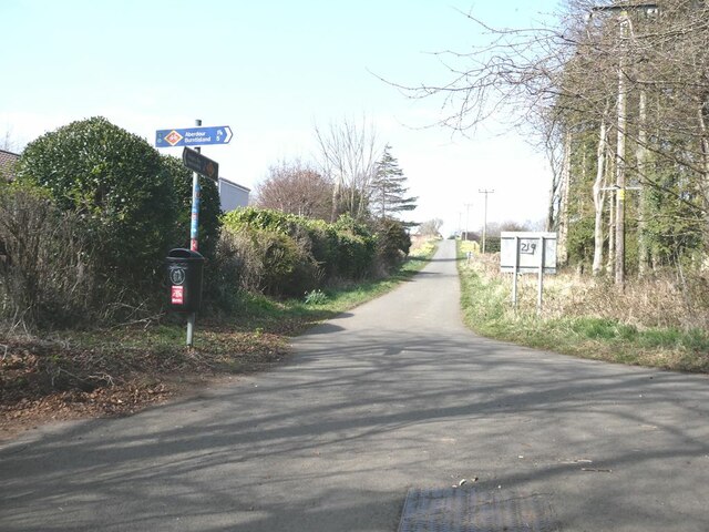
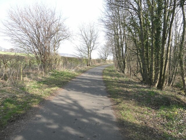
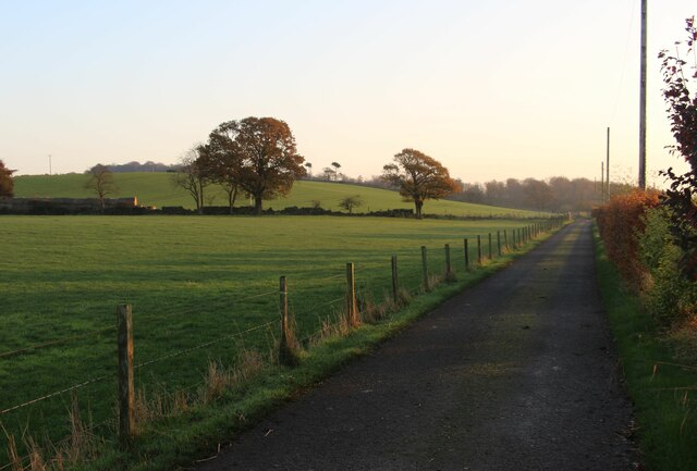
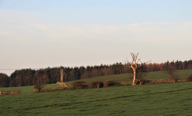
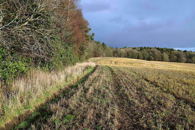
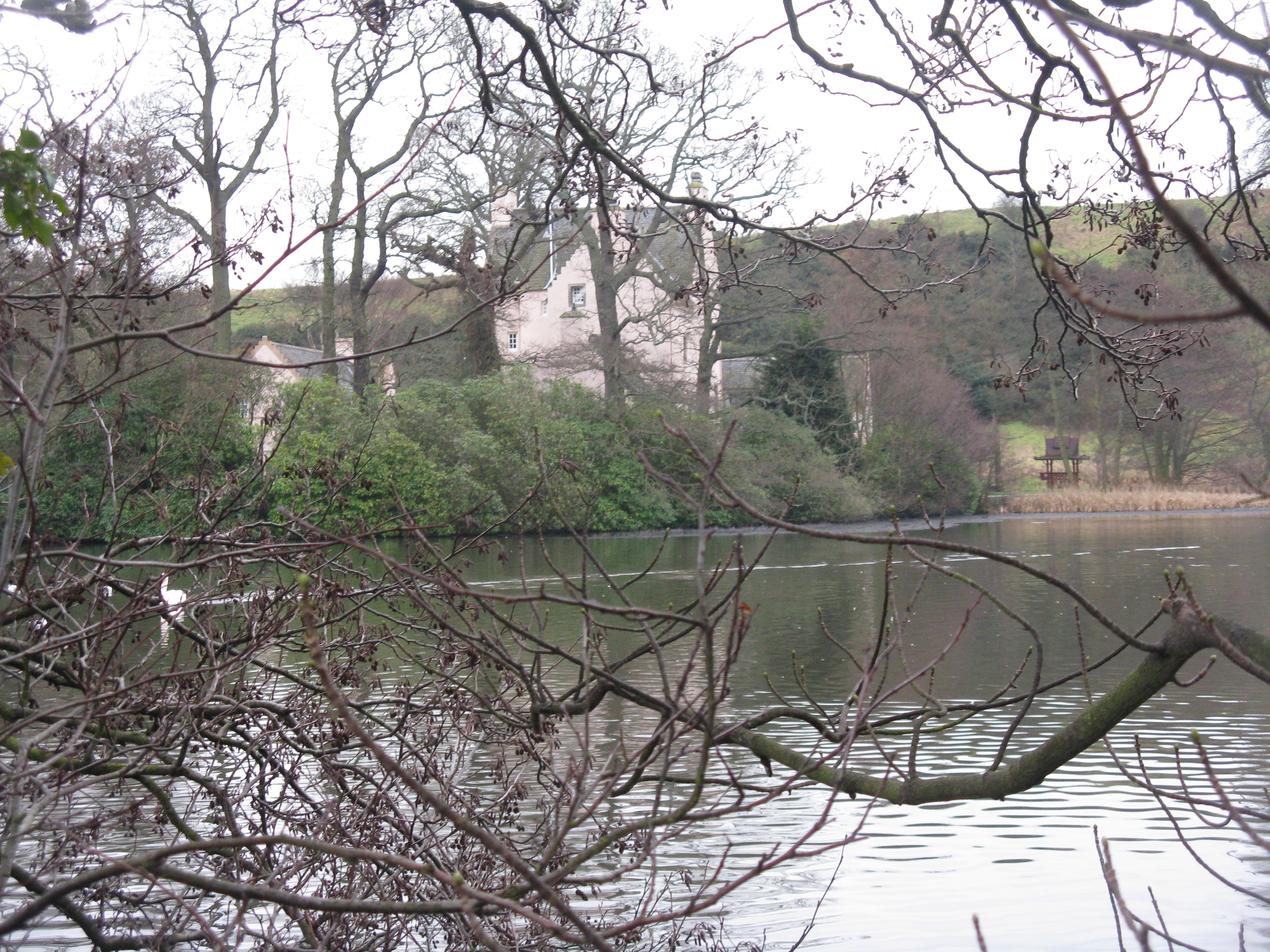
Crowhill Wood is a picturesque woodland located in the region of Fife, Scotland. Situated near the village of Saline, this tranquil forest spans an area of approximately 35 hectares. The wood is a mix of both coniferous and deciduous trees, creating a diverse and vibrant landscape.
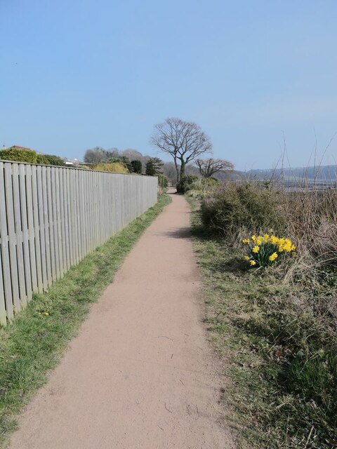
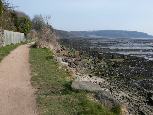
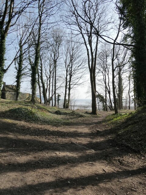
As visitors enter Crowhill Wood, they are greeted by a well-maintained path that winds its way through the forest. The path allows for easy exploration of the wood, making it accessible to people of all ages and abilities. Towering Scots pines, oak trees, and silver birches dominate the wooded area, providing a rich habitat for a variety of wildlife.
The forest floor is blanketed with a lush carpet of ferns, bluebells, and wildflowers during the spring and summer months. This creates a vibrant and colorful display, attracting nature enthusiasts and photographers alike. Birdwatchers will be delighted by the presence of species such as woodpeckers, buzzards, and owls, which can be spotted throughout the woodland.
Crowhill Wood also offers several picnic areas and benches, allowing visitors to relax and take in the peaceful surroundings. The wood is a popular spot for families, dog walkers, and nature lovers who seek a serene escape from the bustling city life.
Managed by the local council, the wood is well-preserved and features informative signage detailing the various tree species and points of interest. Adequate parking facilities are available nearby, making it easily accessible for those traveling by car.
Overall, Crowhill Wood is a hidden gem in Fife, offering a serene and enchanting environment for visitors to immerse themselves in nature and enjoy the beauty of this Scottish woodland.
If you have any feedback on the listing, please let us know in the comments section below.
Crowhill Wood Images
Images are sourced within 2km of 56.050307/-3.3497074 or Grid Reference NT1684. Thanks to Geograph Open Source API. All images are credited.


Crowhill Wood is located at Grid Ref: NT1684 (Lat: 56.050307, Lng: -3.3497074)
Unitary Authority: Fife
Police Authority: Fife
What 3 Words
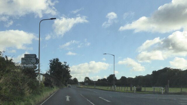
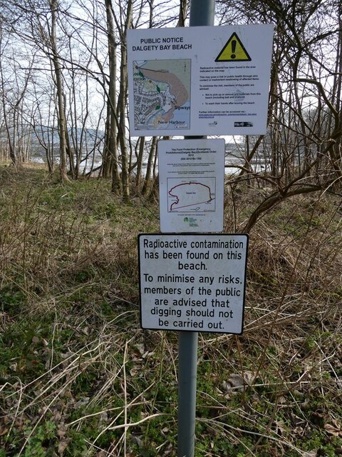
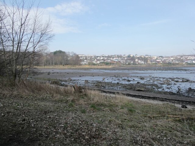
///wand.villas.obstruction. Near Dalgety Bay, Fife
Nearby Locations
Related Wikis
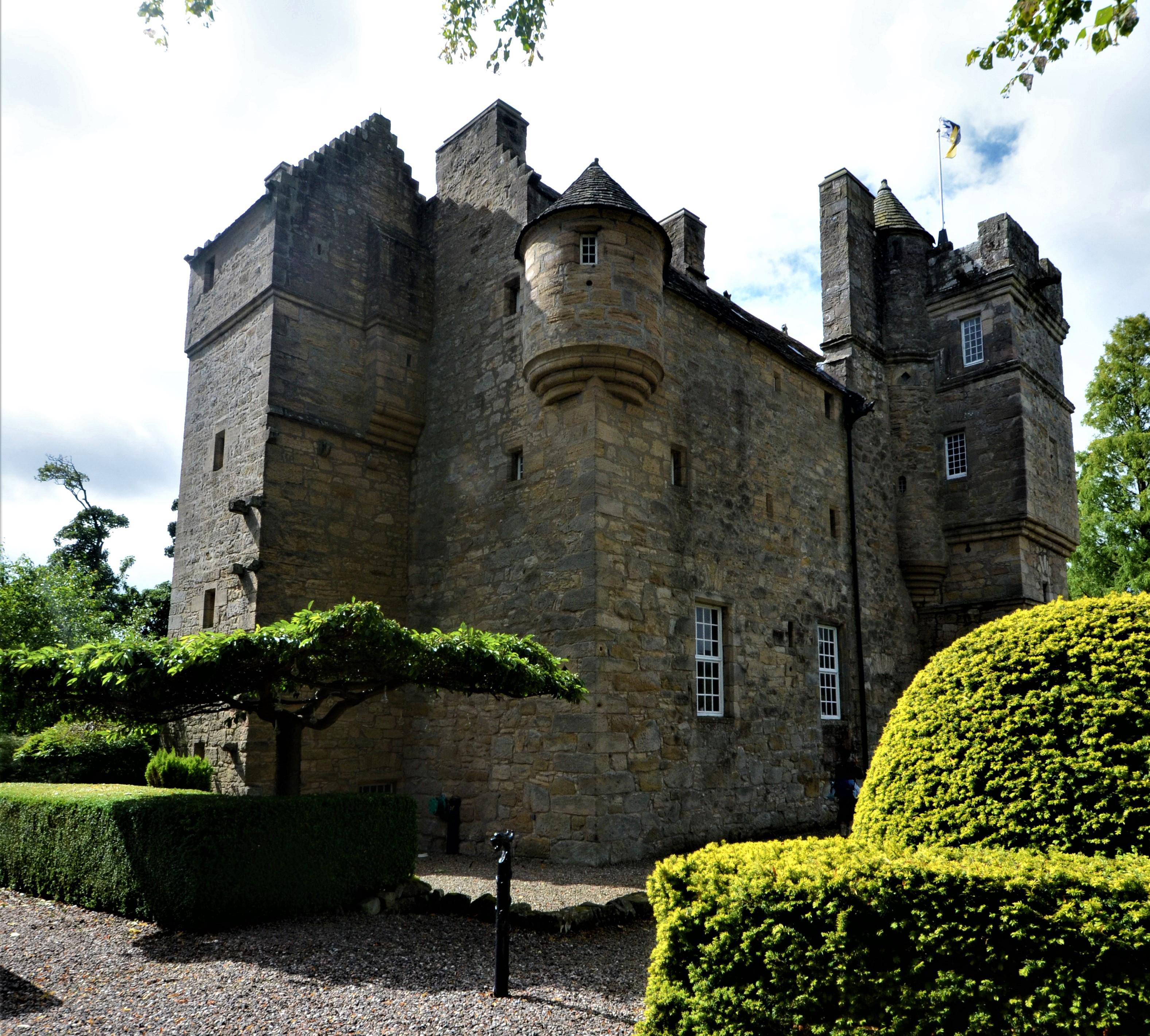
Couston Castle
Couston Castle is an L-plan tower house dating from the late sixteenth or early seventeenth centuries, just north east of Dalgety Bay, at the edge of Otterston...

RNAS Donibristle (HMS Merlin)
Royal Naval Air Station Donibristle or more simply RNAS Donibristle is a former Fleet Air Arm base located 2.7 miles (4.3 km) east of Rosyth, Fife, and...

Dalgety Bay
Dalgety Bay ( ) is a coastal town and parish in Fife, Scotland. According to Fife Council, the town is home to , making this the eighth-largest place...
Fordell Castle
Fordell Castle is a restored 16th-century tower house, located 1.25 miles (2.01 km) north-west of Dalgety Bay and 2 miles (3.2 km) east of Dunfermline...

Dalgety Bay railway station
Dalgety Bay railway station serves the town of Dalgety Bay in Fife, Scotland. Lying on the Fife Circle and EdinburghーDundee lines, it is managed by ScotRail...

St Bridget's Kirk
St. Bridget's Kirk is a ruined church on the outskirts of Dalgety Bay, Fife, Scotland. It is a shell of a medieval church, dating back at least as far...
Hillend, Fife
Hillend is a small village in Fife, Scotland. It is located roughly to the north-west of Dalgety Bay. It is the location of Heil's manufacturing facilities...
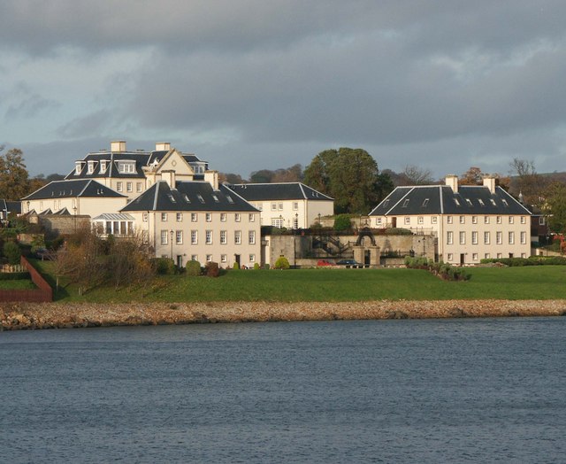
Donibristle
Donibristle (Scots: also Dunibirsle) was a house and estate in Fife, Scotland, on the coast of the Firth of Forth. Only the wings of the house remain,...
Nearby Amenities
Located within 500m of 56.050307,-3.3497074Have you been to Crowhill Wood?
Leave your review of Crowhill Wood below (or comments, questions and feedback).