Hurkleburn Plantation

Wood, Forest in Dumfriesshire

Scotland

Hurkleburn Plantation

Footpath/cycleway on NE side of B7076 at junction with track to Langhill
Footpath/cycleway on NE side of B7076 at junction with track to Langhill Credit: Roger Templeman

Hurkleburn Plantation is a picturesque woodland area located in Dumfriesshire, Scotland. Spread across a vast expanse, the plantation is renowned for its natural beauty and rich biodiversity. The plantation is nestled amidst rolling hills and is surrounded by breathtaking landscapes, making it a popular destination for nature lovers and outdoor enthusiasts.

Covering an area of approximately [insert size], Hurkleburn Plantation is predominantly composed of a diverse range of tree species, including oak, birch, and pine. These trees form a dense canopy, providing a haven for a variety of wildlife. The plantation is home to numerous species of birds, such as woodpeckers, owls, and finches, making it a paradise for birdwatchers.

The woodland also offers a network of well-maintained trails, allowing visitors to explore the area at their leisure. The paths wind through the plantation, offering stunning views of the surrounding countryside and providing opportunities for peaceful walks and hikes. The plantation also features several picnic spots and rest areas, providing visitors with the chance to relax and soak in the tranquil atmosphere.

Managed by the local forestry authority, Hurkleburn Plantation is committed to sustainable practices and conservation efforts. The plantation plays a vital role in carbon capture, aiding in the fight against climate change. Additionally, regular maintenance and conservation programs ensure the health and longevity of the woodland ecosystem.

Overall, Hurkleburn Plantation is a natural treasure in Dumfriesshire, offering visitors a chance to connect with nature, explore scenic trails, and witness the wonders of the local biodiversity.

If you have any feedback on the listing, please let us know in the comments section below.

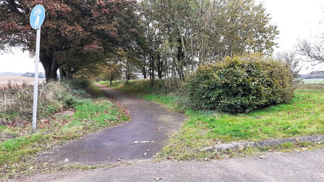
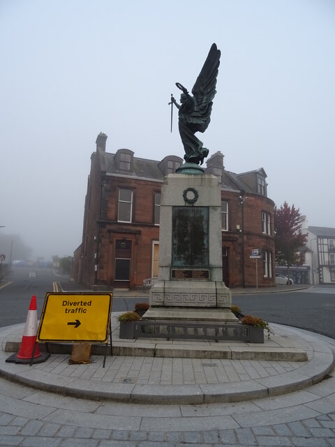
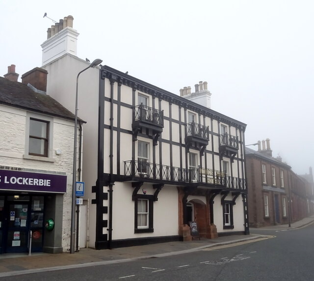
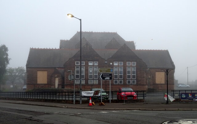
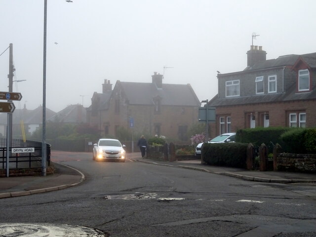
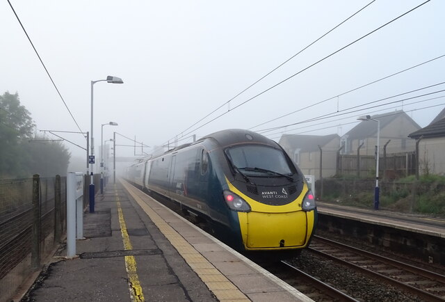
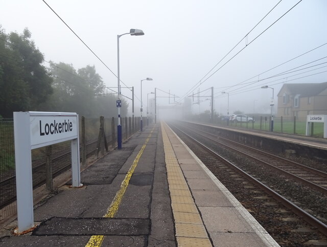
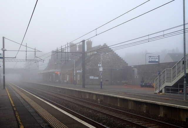
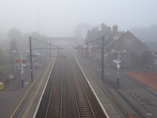
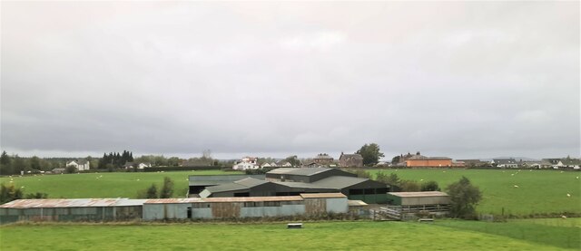
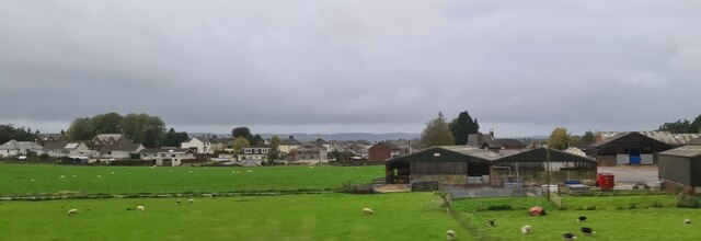
Hurkleburn Plantation Images

Images are sourced within 2km of 55.120188/-3.3303697 or Grid Reference NY1581. Thanks to Geograph Open Source API. All images are credited.

Footpath/cycleway on NE side of B7076 at junction with track to Langhill
Dumfries Road, Lockerbie The junction of the B723 Dumfries road and the A709 Carlisle road. The Roman Catholic Holy Trinity Church is to the right.
Dumfries Road, Lockerbie
The junction of the B723 Dumfries road and the A709 Carlisle road. The Roman Catholic Holy Trinity Church is to the right.
Entrance, Somerton House Hotel Lockerbie This distinctive sandstone house was built in around 1880; its entrance is flanked by two stone lions named Stanley (L) and Livingstone (R). Its interior is panelled in a rare New Zealand kauri wood salvaged from a ship washed up near Annan.

For a wider view please see Oliver Dixon's photograph <a href="https://www.geograph.org.uk/photo/3897283">NY1380 : Somerton House Hotel, Lockerbie</a>.
Entrance, Somerton House Hotel Lockerbie
This distinctive sandstone house was built in around 1880; its entrance is flanked by two stone lions named Stanley (L) and Livingstone (R). Its interior is panelled in a rare New Zealand kauri wood salvaged from a ship washed up near Annan. For a wider view please see Oliver Dixon's photograph NY1380 : Somerton House Hotel, Lockerbie.
Benchmark, Lockerbie Town Hall Detail of the Ordnance Survey flush bracket benchmark number G518 on the wall of Lockerbie Town Hall facing on to Bridge Street.  The benchmark marks a height of 79.1589m above mean sea level (Ordnance Datum Newlyn) last levelled in 1957 and verified in 1974 (location photograph <a href="https://www.geograph.org.uk/photo/6570804">NY1381 : Electrical Junction Box</a>).
Benchmark, Lockerbie Town Hall
Detail of the Ordnance Survey flush bracket benchmark number G518 on the wall of Lockerbie Town Hall facing on to Bridge Street. The benchmark marks a height of 79.1589m above mean sea level (Ordnance Datum Newlyn) last levelled in 1957 and verified in 1974 (location photograph NY1381 : Electrical Junction Box).
Royal Bar, Lockerbie On Station Road.
New paint scheme since 2015 - <a href="https://www.geograph.org.uk/photo/4689593">NY1381 : The Royal Bar, Lockerbie</a>
Royal Bar, Lockerbie
On Station Road. New paint scheme since 2015 - NY1381 : The Royal Bar, Lockerbie
Lockerbie Railway Station On a misty morning.
Lockerbie Railway Station
On a misty morning.
War Memorial, Lockerbie
The Kings Arms Hotel, Lockerbie On High Street.
The Kings Arms Hotel, Lockerbie
On High Street.
Mid Annandale Comrades Club, Lockerbie On High Street.
Mid Annandale Comrades Club, Lockerbie
On High Street.
The Townhead Hotel, Lockerbie On Townhead Street.
The Townhead Hotel, Lockerbie
On Townhead Street.
Dryfesdale School, Lockerbie Now closed and being converted into a community resouce.
Dryfesdale School, Lockerbie
Now closed and being converted into a community resouce.
Dryfe Road (B723), Lockerbie
Lockerbie Railway Station Avanti West Coast Class 390 No. 390114 departing for London Euston.
Lockerbie Railway Station
Avanti West Coast Class 390 No. 390114 departing for London Euston.
Lockerbie Railway Station Looking south into the gloom on a misty autumnal morning.
Lockerbie Railway Station
Looking south into the gloom on a misty autumnal morning.
Lockerbie Railway Station On a misty autumnal morning.
Lockerbie Railway Station
On a misty autumnal morning.
Lockerbie Railway Station Looking south from the footbridge into the gloom off a misty autumnal morning.
Lockerbie Railway Station
Looking south from the footbridge into the gloom off a misty autumnal morning.
Farm buildings, Lockerbie
Farm at Lockerbie
Farm at Lockerbie
Show me another place!

Hurkleburn Plantation is located at Grid Ref: NY1581 (Lat: 55.120188, Lng: -3.3303697)

Unitary Authority: Dumfries and Galloway

Police Authority: Dumfries and Galloway

What 3 Words

///parsnips.munched.afterglow. Near Lockerbie, Dumfries & Galloway

Related Wikis

Nearby Amenities

Located within 500m of 55.120188,-3.3303697
Power: pole
Lat/Long: 55.1162271/-3.3273783
Power: pole
Lat/Long: 55.1169637/-3.3271027
Power: pole
Lat/Long: 55.1182837/-3.3257477
The data included in this document is from www.openstreetmap.org. The data is made available under ODbL.

Have you been to Hurkleburn Plantation?

Leave your review of Hurkleburn Plantation below (or comments, questions and feedback).