Mid Plantation
Wood, Forest in Dumfriesshire
Scotland
Mid Plantation
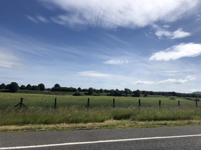
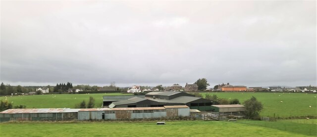
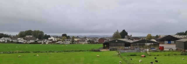
Mid Plantation is a woodland area located in Dumfriesshire, Scotland. Situated in the south-western part of the country, this plantation covers a vast expanse of land, encompassing approximately 500 acres. The forest is known for its diverse range of tree species, creating a lush and vibrant ecosystem.
The woodland is predominantly composed of native Scottish trees, such as oak, birch, and Scots pine. These trees provide a dense canopy, offering shelter and habitat for a variety of wildlife. The forest floor is adorned with a rich carpet of mosses, ferns, and wildflowers, adding to the natural beauty of the area.
Mid Plantation is a popular destination for nature enthusiasts and outdoor enthusiasts alike. The woodland offers numerous walking trails, allowing visitors to explore the serene surroundings and immerse themselves in the tranquility of nature. The diverse flora and fauna provide ample opportunities for birdwatching and wildlife spotting.
The plantation also plays a crucial role in the local economy, contributing to the timber industry. Sustainable forestry practices are employed to ensure the long-term preservation of the woodland. Managed by a dedicated team of forestry experts, Mid Plantation aims to strike a balance between conservation and economic utilization.
Overall, Mid Plantation in Dumfriesshire is a picturesque woodland area that showcases the natural beauty of Scotland. With its diverse range of trees, abundant wildlife, and well-maintained trails, it offers visitors a chance to connect with nature and experience the tranquility of a lush forest environment.
If you have any feedback on the listing, please let us know in the comments section below.
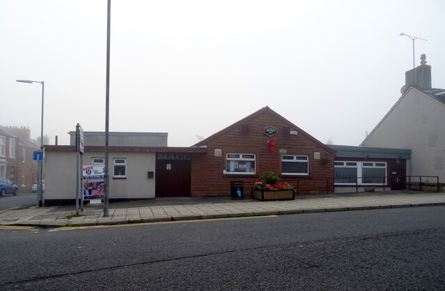
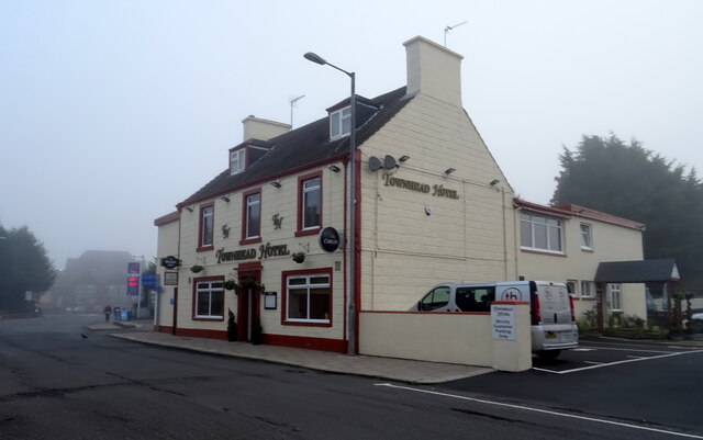
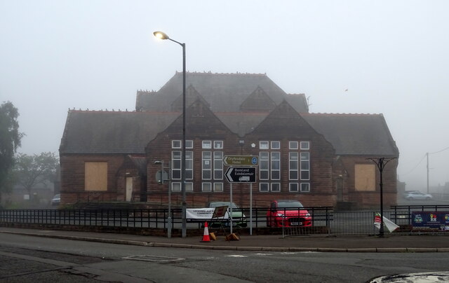
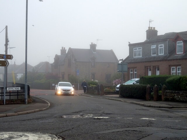
Mid Plantation Images
Images are sourced within 2km of 55.118632/-3.3313842 or Grid Reference NY1581. Thanks to Geograph Open Source API. All images are credited.
Mid Plantation is located at Grid Ref: NY1581 (Lat: 55.118632, Lng: -3.3313842)
Unitary Authority: Dumfries and Galloway
Police Authority: Dumfries and Galloway
What 3 Words
///liberated.suspect.croutons. Near Lockerbie, Dumfries & Galloway
Related Wikis
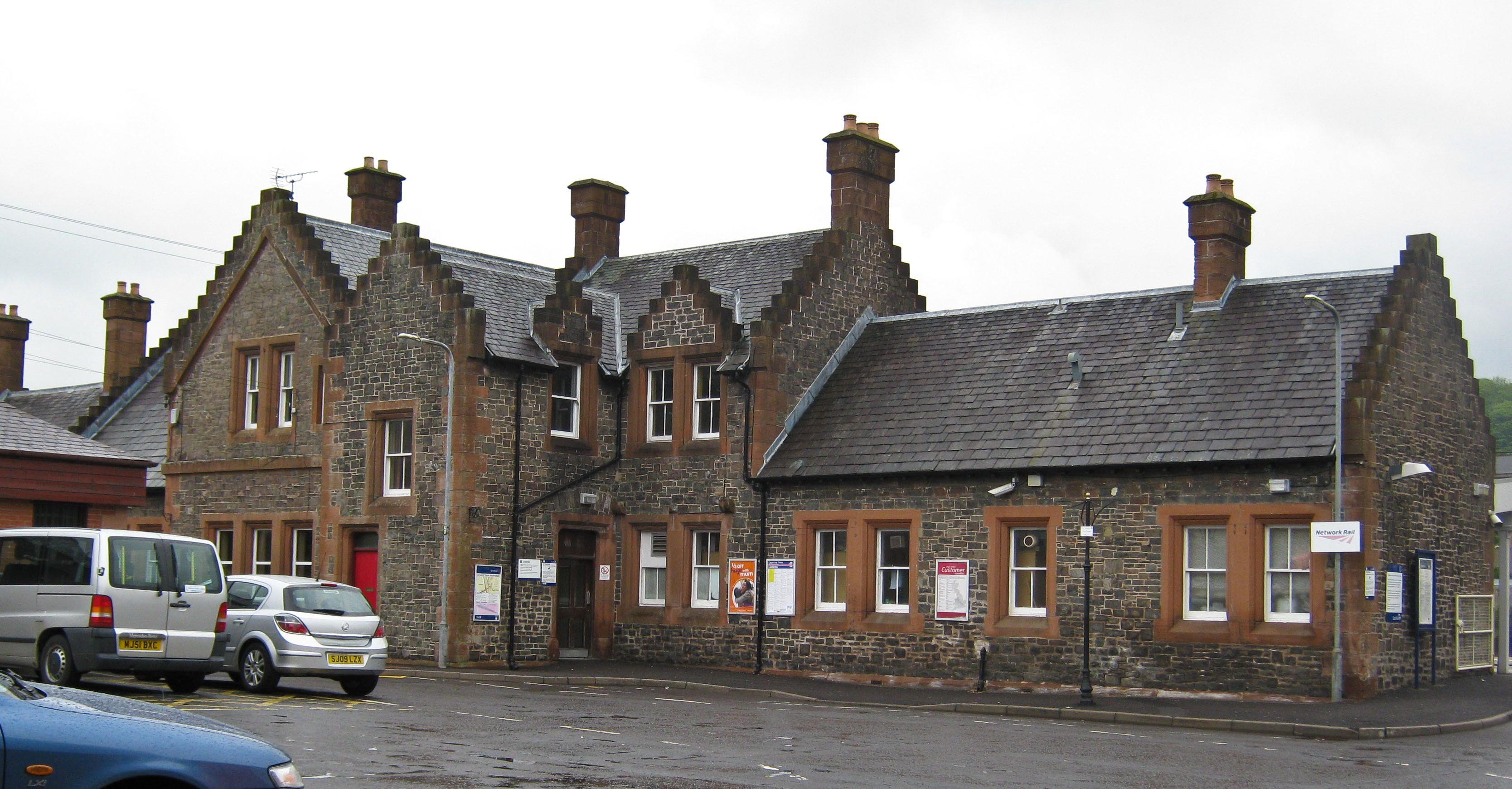
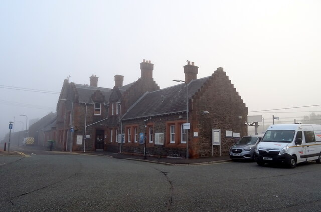
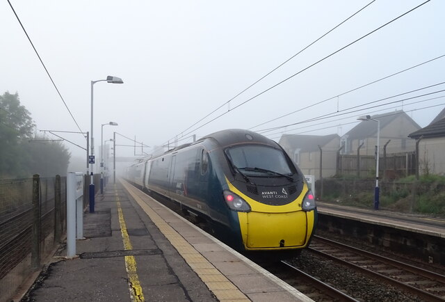
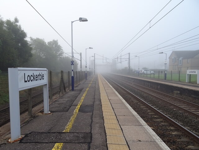
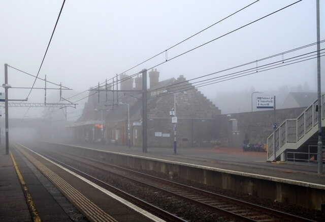
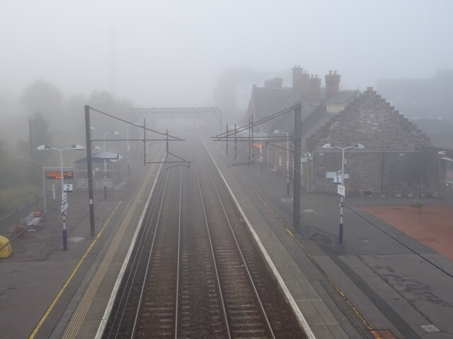
Lockerbie railway station
Lockerbie railway station is a railway station serving the town of Lockerbie, on the West Coast Main Line, Dumfries and Galloway, Scotland. It is located...

Lockerbie Town Hall
Lockerbie Town Hall is a municipal building in the High Street in Lockerbie, Dumfries and Galloway, Scotland. The structure, which is used as a venue for...

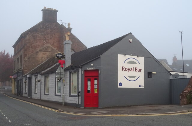
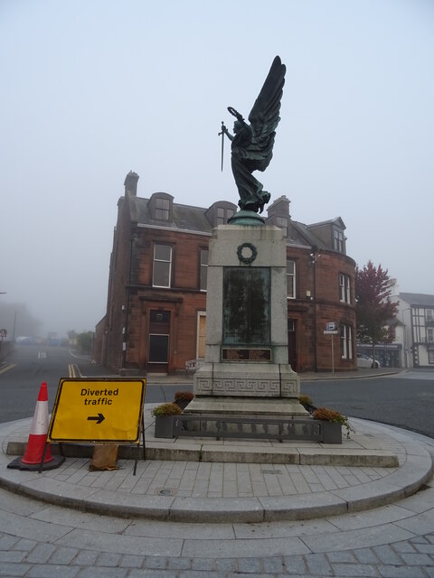
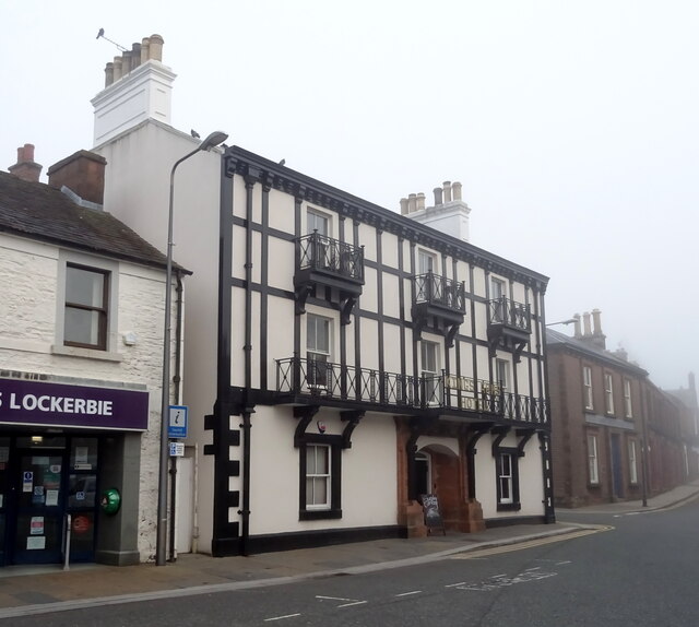
Lockerbie
Lockerbie (, Scottish Gaelic: Locarbaidh) is a town in Dumfries and Galloway, south-western Scotland. It is about 120 km (75 mi) from Glasgow, and 25 km...

Dryfesdale
Dryfesdale ( DRYFSE-dayl) is a civil parish of the council area of Dumfries and Galloway, Scotland. It is part of the county of Dumfriesshire. == Overview... ==
Nearby Amenities
Located within 500m of 55.118632,-3.3313842Have you been to Mid Plantation?
Leave your review of Mid Plantation below (or comments, questions and feedback).