Castleweary
Settlement in Roxburghshire
Scotland
Castleweary

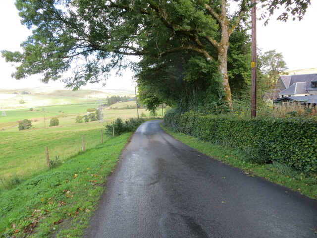
Castleweary is a small village located in the historic county of Roxburghshire, Scotland. Situated in the eastern part of the county, it lies in the picturesque valley of the River Teviot. The village is surrounded by rolling hills and lush countryside, offering breathtaking views of the Scottish Borders.
With a population of around 500 residents, Castleweary retains a peaceful and close-knit community feel. The village is characterized by its charming stone houses, some of which date back several centuries, giving it a distinctively traditional Scottish appearance. The centerpiece of Castleweary is its namesake, the ruins of a medieval castle that stand proudly on a hill overlooking the village. These ruins, which are a popular attraction for visitors, offer a glimpse into the area's rich history.
Despite its small size, Castleweary boasts a few amenities to serve its residents. There is a local pub, The Castle Inn, where villagers can gather for a drink or a meal. The village also has a primary school that provides education to the local children.
For outdoor enthusiasts, Castleweary offers ample opportunities for exploration and recreation. The surrounding countryside provides an ideal setting for hiking, cycling, and fishing, with numerous trails and fishing spots easily accessible from the village.
Castleweary is well-connected to the rest of Roxburghshire and the wider region by road, making it a convenient base for exploring the Scottish Borders. With its tranquil setting, historical landmarks, and natural beauty, Castleweary offers a peaceful retreat for both residents and visitors alike.
If you have any feedback on the listing, please let us know in the comments section below.
Castleweary Images
Images are sourced within 2km of 55.317399/-2.9469734 or Grid Reference NT4003. Thanks to Geograph Open Source API. All images are credited.


Castleweary is located at Grid Ref: NT4003 (Lat: 55.317399, Lng: -2.9469734)
Unitary Authority: The Scottish Borders
Police Authority: The Lothians and Scottish Borders
What 3 Words
///pave.adopts.thin. Near Teviothead, Scottish Borders
Nearby Locations
Related Wikis

River Teviot
The River Teviot (; Scottish Gaelic: Abhainn Tìbhiot), or Teviot Water, is a river of the Scottish Borders area of Scotland, and is the largest tributary...

Caerlanrig
Caerlanrig - also spelled 'Carlenrig' - (Gaelic: Cathair Lannraig) is a hamlet in the parish of Cavers, Borders, Scotland, lying on the River Teviot, 6...

Teviothead
Teviothead (Scottish Gaelic: Ceann Tìbhiot) is a small village and civil parish in Teviotdale in the Scottish Borders, known locally as Teviotheid. It...
Falnash
Falnash (Scots: Fawenesh) is a village in the Scottish Borders of Scotland. It is near Teviothead, in the former Roxburghshire, and in the parish of Teviothead...

Cauldcleuch Head
Cauldcleuch Head is a hill in an unnamed range of Roxburghshire hills north of Langholm, part of the Southern Uplands of Scotland. The highest hill in...

Craik, Scottish Borders
Craik is a hamlet in Craik Forest, by the Airhouse Burn in the Scottish Borders area of Scotland, close to Roberton, Scottish Borders (grid reference NT348084...

Broadhaugh
Broadhaugh is a hamlet in the Scottish Borders area of Scotland, in the parish of Teviothead, in former Roxburghshire. == See also == List of places in...

Unthank, Dumfries and Galloway
Unthank is a village in Dumfries and Galloway, Scotland. == References == The geographic coordinates are from the Ordnance Survey.
Nearby Amenities
Located within 500m of 55.317399,-2.9469734Have you been to Castleweary?
Leave your review of Castleweary below (or comments, questions and feedback).