Castleton
Settlement in Derbyshire High Peak
England
Castleton
The requested URL returned error: 429 Too Many Requests
If you have any feedback on the listing, please let us know in the comments section below.
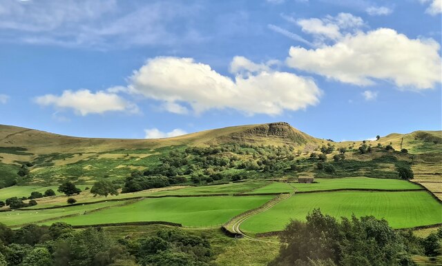
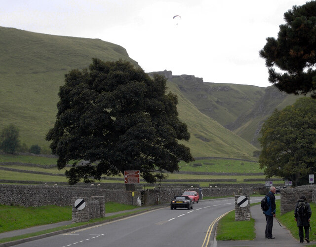
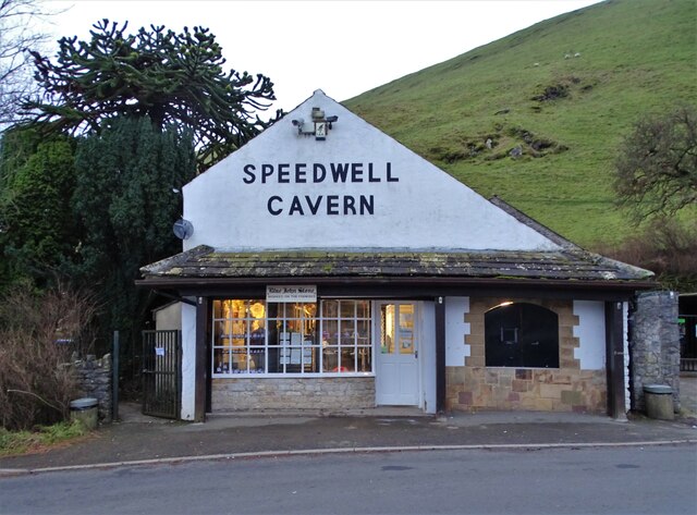
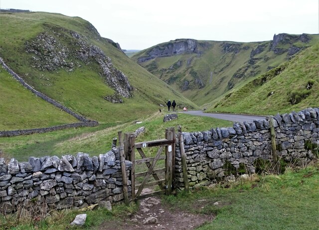
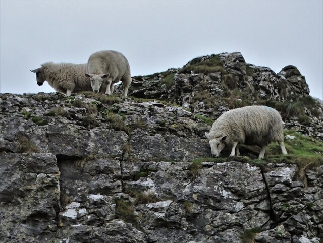
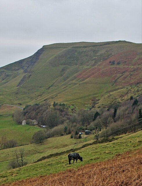
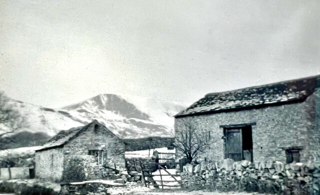
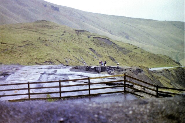
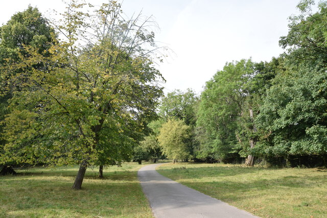
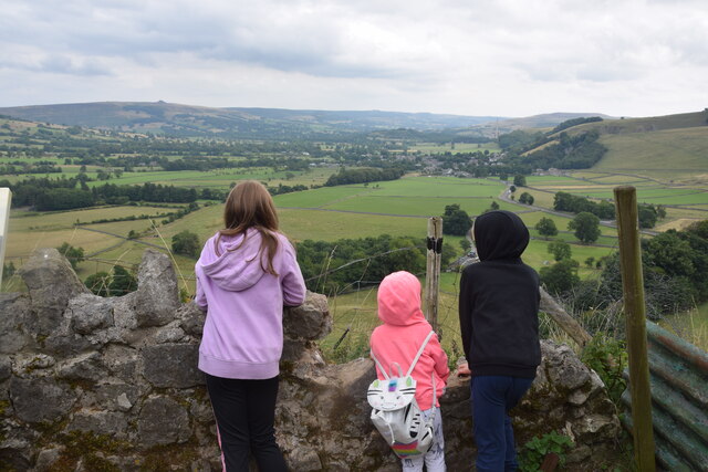
Castleton Images
Images are sourced within 2km of 53.343811/-1.7751716 or Grid Reference SK1583. Thanks to Geograph Open Source API. All images are credited.


Castleton is located at Grid Ref: SK1583 (Lat: 53.343811, Lng: -1.7751716)
Administrative County: Derbyshire
District: High Peak
Police Authority: Derbyshire
What 3 Words
///loser.helped.picnic. Near Hope Valley, Derbyshire
Nearby Locations
Related Wikis

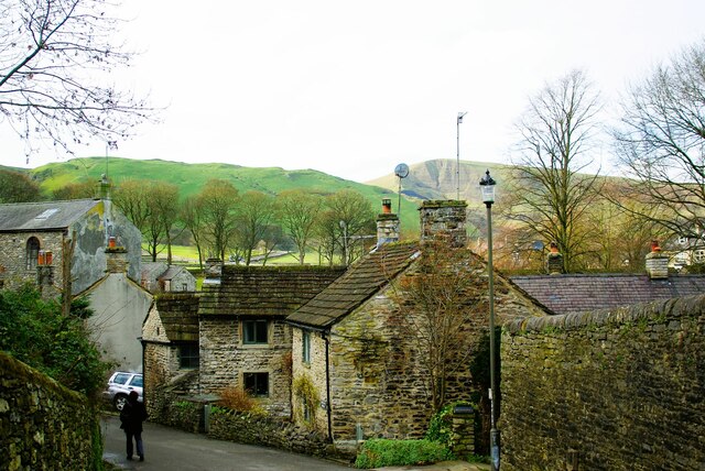
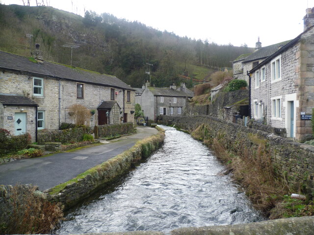
Castleton, Derbyshire
Castleton is a village in the High Peak district of Derbyshire, England, at the western end of the Hope Valley on the Peakshole Water, a tributary of the...
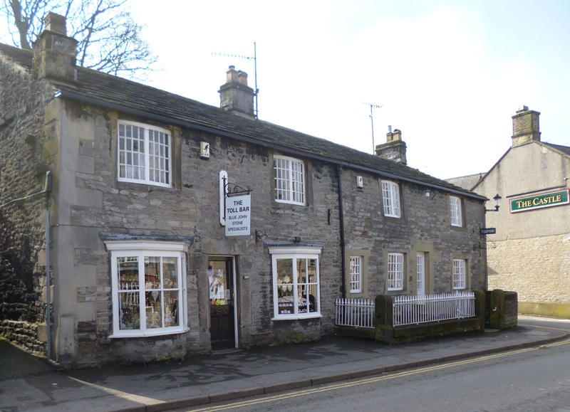
Toll Bar Cottage
Toll Bar Cottage is a 17th-century grade II listed cottage on Cross Street in Castleton, Derbyshire. == History == The Toll Bar was used as a tollhouse...
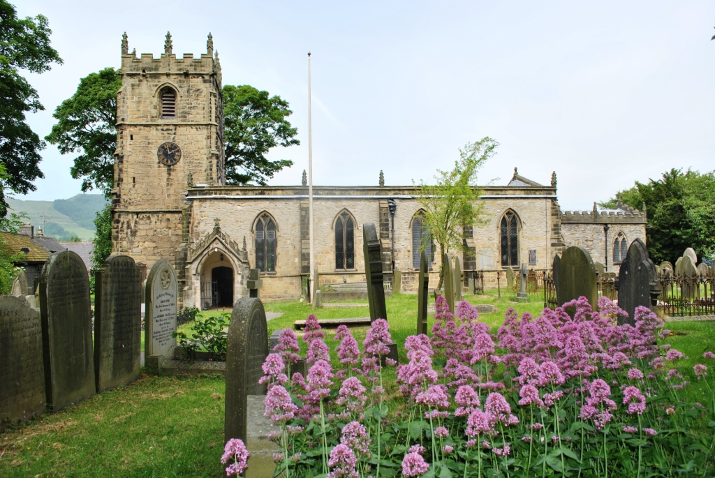
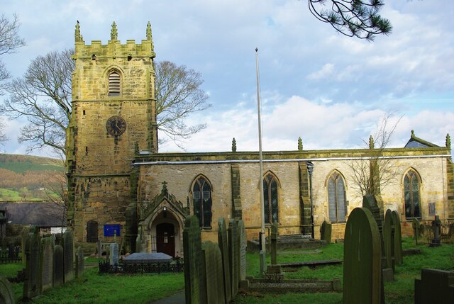
St Edmund's Church, Castleton
St Edmund's Church, Castleton, is a Grade II* listed parish church in the Church of England in Castleton, Derbyshire. == History == The church dates from...
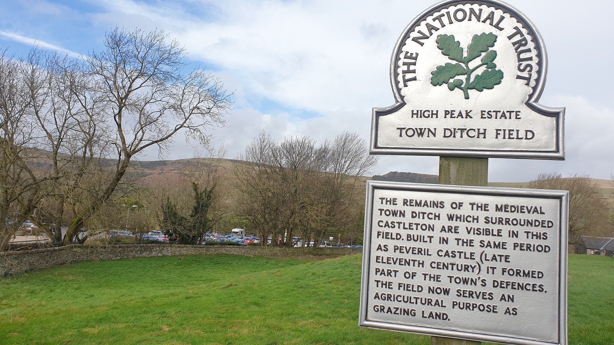
Castleton Town defences
The Castleton town defences in Castleton, Derbyshire, consist of a ditch and bank constructed during the 1190s. The ditch was part of Peveril Castle's...
Nearby Amenities
Located within 500m of 53.343811,-1.7751716Have you been to Castleton?
Leave your review of Castleton below (or comments, questions and feedback).