Gallowberry Wood

Wood, Forest in Peeblesshire

Scotland

Gallowberry Wood

Scattered trees, Scotstown Bank
Scattered trees, Scotstown Bank Credit: Richard Webb

Gallowberry Wood is a picturesque forest located in Peeblesshire, Scotland. Nestled amidst the rolling hills and lush greenery, this woodland boasts a rich natural beauty and a diverse ecosystem. Covering an area of approximately 50 acres, Gallowberry Wood is a haven for outdoor enthusiasts and nature lovers.

The woodland is primarily composed of a mix of broadleaf and coniferous trees, creating a vibrant tapestry of colors throughout the seasons. Towering oak, beech, and birch trees provide a majestic canopy, while spruce and pine trees add a touch of evergreen charm. The forest floor is adorned with a carpet of wildflowers, ferns, and mosses, creating a serene and enchanting atmosphere.

Gallowberry Wood is home to a variety of wildlife, including red squirrels, deer, badgers, and a wide range of bird species. The diverse ecosystem supports a healthy population of flora and fauna, making it an ideal destination for birdwatching and wildlife spotting.

The woodland offers a network of well-marked trails, providing visitors with the opportunity to explore its beauty on foot. From gentle strolls to more challenging hikes, there is a trail suitable for every level of fitness and interest. These paths wind their way through the forest, offering breathtaking views of the surrounding countryside and glimpses of the River Tweed in the distance.

Gallowberry Wood is a tranquil and idyllic escape from the hustle and bustle of everyday life. Whether visitors seek solitude, a family outing, or a chance to reconnect with nature, this charming woodland provides an enchanting setting to immerse oneself in the beauty of the Scottish countryside.

If you have any feedback on the listing, please let us know in the comments section below.

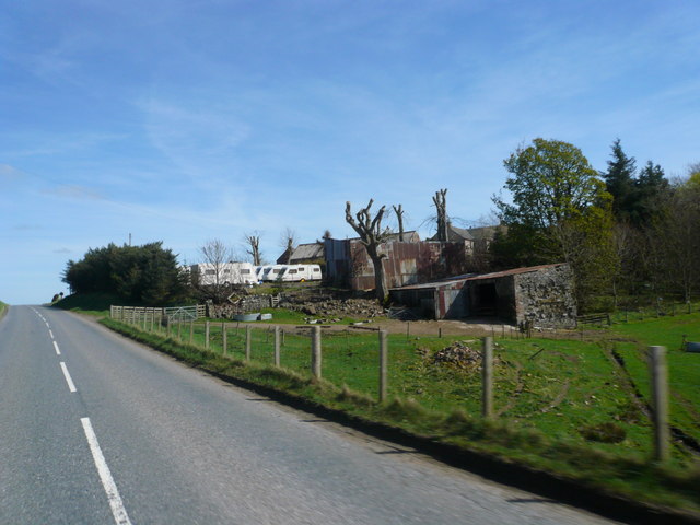
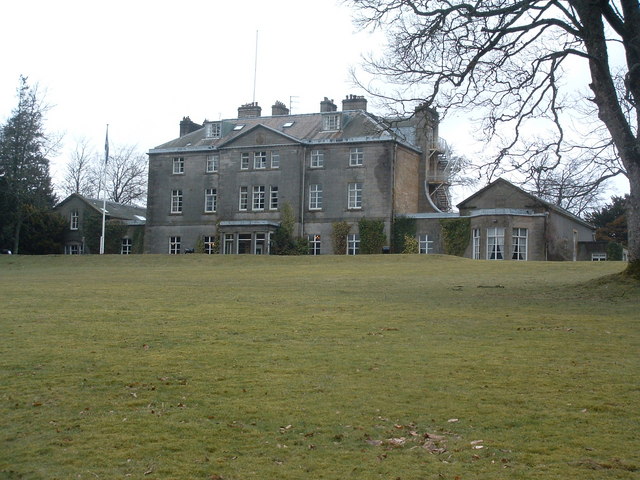
Gallowberry Wood Images

Images are sourced within 2km of 55.680501/-3.3832055 or Grid Reference NT1343. Thanks to Geograph Open Source API. All images are credited.

Scattered trees, Scotstown Bank
Blyth Farm Road Blyth Bridge end of the Old Coach Road.
Blyth Farm Road
Blyth Bridge end of the Old Coach Road.
Road end, Blyth Bridge Junction on the A701.
Road end, Blyth Bridge
Junction on the A701.
Playground, Blyth Bridge
Blyth Farm Road
Blyth Farm Road
Blyth Farm A very large new cattle shed, built on this site in 2019 <a href="https://www.geograph.org.uk/photo/590557">NT1345 : Blyth</a>
Blyth Farm
A very large new cattle shed, built on this site in 2019 NT1345 : Blyth
Delivery, Blyth Bridge A tricky job in the weather.  Later a lorry was assisted out of the farmyard by a tractor with a round bale on a front loader.
The signs are a total waste of money. The road ends at the cottages behind the supermarket van (but continues as a farm track - The Old Coach Road).
Delivery, Blyth Bridge
A tricky job in the weather. Later a lorry was assisted out of the farmyard by a tractor with a round bale on a front loader. The signs are a total waste of money. The road ends at the cottages behind the supermarket van (but continues as a farm track - The Old Coach Road).
The Old Coach Road, Blyth Bridge The end of the public road, a few metres after a national speed limit sign. The lorry had been assisted out of the farmyard by pushing with a round bale  on a tractor's front loader.
The Old Coach Road, Blyth Bridge
The end of the public road, a few metres after a national speed limit sign. The lorry had been assisted out of the farmyard by pushing with a round bale on a tractor's front loader.
Blyth Bridge View from Blyth Hill with Drochil Hill in the background.  A community which has grown somewhat in recent years. Blyth Farm's big new cattle shed is in the bottom right corner.
Blyth Bridge
View from Blyth Hill with Drochil Hill in the background. A community which has grown somewhat in recent years. Blyth Farm's big new cattle shed is in the bottom right corner.
Old Smiddyfield Park, Blyth Bridge Newish houses in a much expanded community.
Old Smiddyfield Park, Blyth Bridge
Newish houses in a much expanded community.
Blyth Bridge
Blyth Bridge
Blyth Bridge View from near Sandy Hill to the southwest.
Blyth Bridge
View from near Sandy Hill to the southwest.
Above the fog, Shaw Hill Fog clearing from the colder air below.
Above the fog, Shaw Hill
Fog clearing from the colder air below.
Fog burning off, Kirkurd View from Shaw Hill.
Fog burning off, Kirkurd
View from Shaw Hill.
Old milestone Tucked into the base of the dry stone wall about 50m east of Scotstonrig farmhouse entrance is the 21 mile from Edinburgh stone.   There is faint horizontal broaching visible on the sides and top.  This stone is marked on the 1856 OS map.  The top of a cut benchmark can be seen below the 1.  It may have been set up by the Peebleshire Trust.
Old milestone
Tucked into the base of the dry stone wall about 50m east of Scotstonrig farmhouse entrance is the 21 mile from Edinburgh stone. There is faint horizontal broaching visible on the sides and top. This stone is marked on the 1856 OS map. The top of a cut benchmark can be seen below the 1. It may have been set up by the Peebleshire Trust.
Blyth Bridge Blyth Farm Road
Blyth Bridge
Blyth Farm Road
Lochurd Farm
Lochurd Farm
Newly built house at Kirkdean
Show me another place!

Gallowberry Wood is located at Grid Ref: NT1343 (Lat: 55.680501, Lng: -3.3832055)

Unitary Authority: The Scottish Borders

Police Authority: The Lothians and Scottish Borders

What 3 Words

///gold.hindering.unpacked. Near West Linton, Scottish Borders

Nearby Locations

Gallowberry Wood

Related Wikis

Kirkurd

Kirkurd is a parish in Peeblesshire in the Scottish Borders situated 3 miles south-east of Dolphinton and 6 miles north-east of Broughton. Tarth Water...

Castle Craig Hospital

Castle Craig Hospital is a private residential drug and alcohol rehabilitation clinic. It is located in Peeblesshire, Scotland. Castle Craig is an 18th...
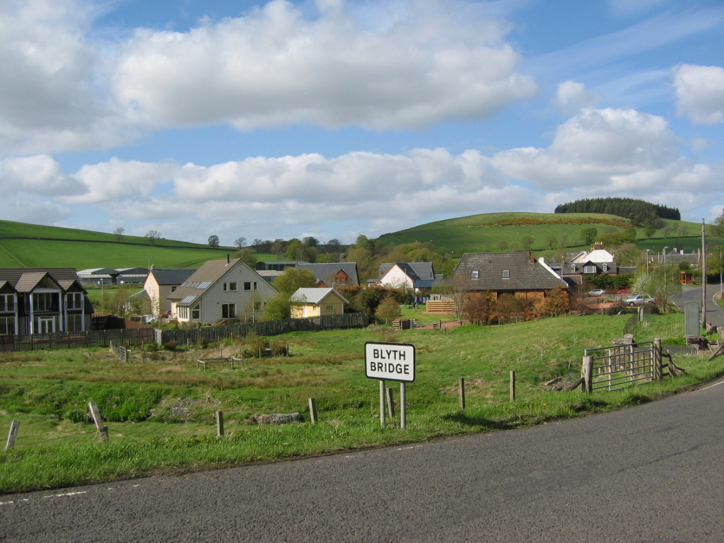
Blyth Bridge

Blyth Bridge is a small hamlet in the Scottish Borders area of Scotland, near to West Linton. It is located in a bend on the A701 which goes from Moffat...

Drochil Castle

Drochil Castle is a ruined castle in the Scottish Borders. It is located above the Lyne Water, 10 kilometres (6.2 mi) north-west of Peebles, and 8 kilometres...

Nearby Amenities

Located within 500m of 55.680501,-3.3832055
Power: pole
Lat/Long: 55.6839964/-3.3786493
Power: pole
Lat/Long: 55.6836705/-3.3779786
Power: pole
Lat/Long: 55.6834133/-3.3774362
Power: pole
Lat/Long: 55.6830897/-3.3767487
The data included in this document is from www.openstreetmap.org. The data is made available under ODbL.

Have you been to Gallowberry Wood?

Leave your review of Gallowberry Wood below (or comments, questions and feedback).