Greenhill Plantation

Wood, Forest in Dumfriesshire

Scotland

Greenhill Plantation

Bridge over Glen Burn
Bridge over Glen Burn Credit: David Dixon

The requested URL returned error: 429 Too Many Requests

If you have any feedback on the listing, please let us know in the comments section below.

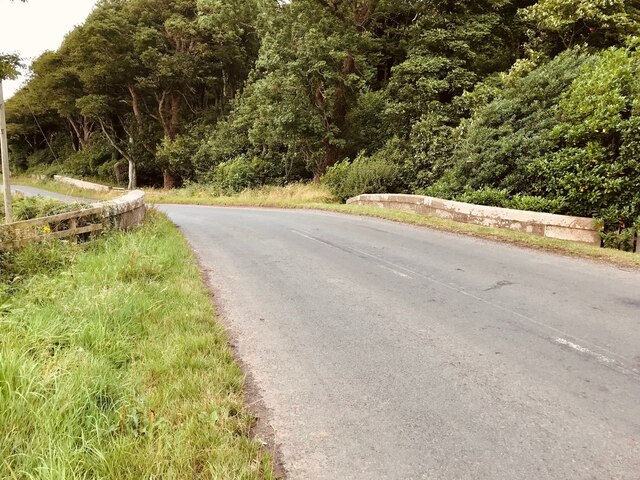
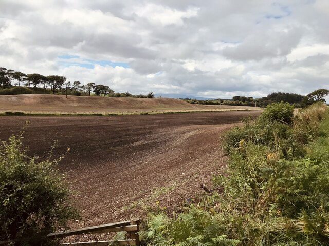
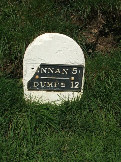
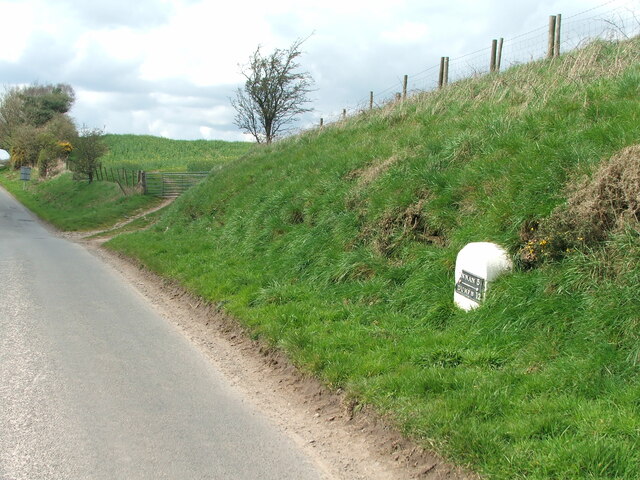
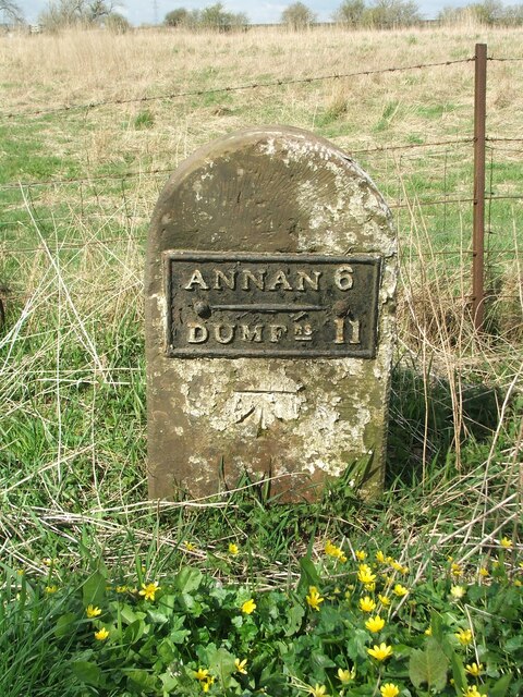
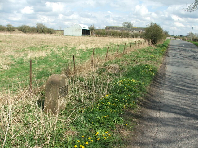
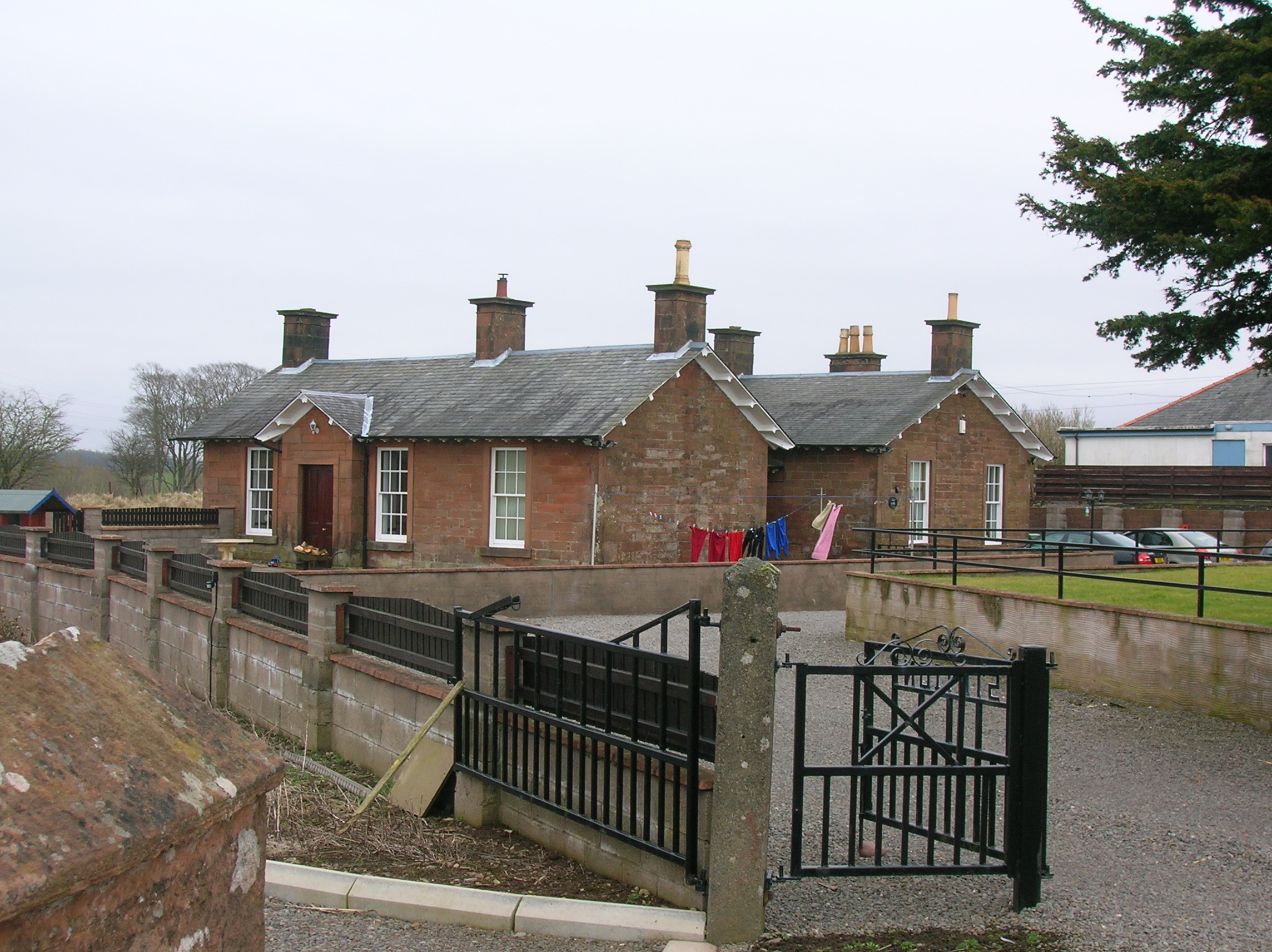
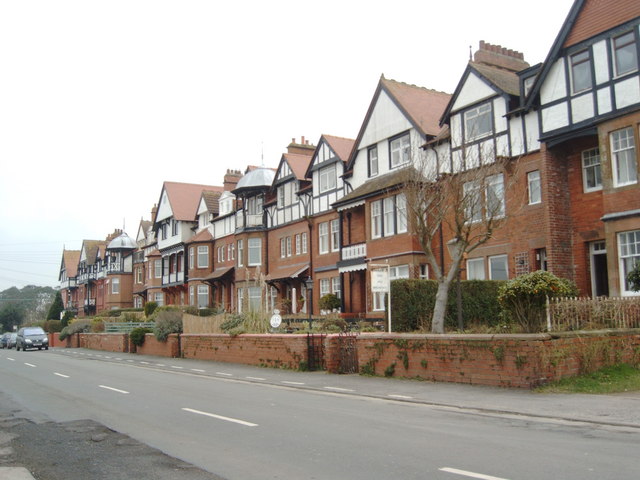
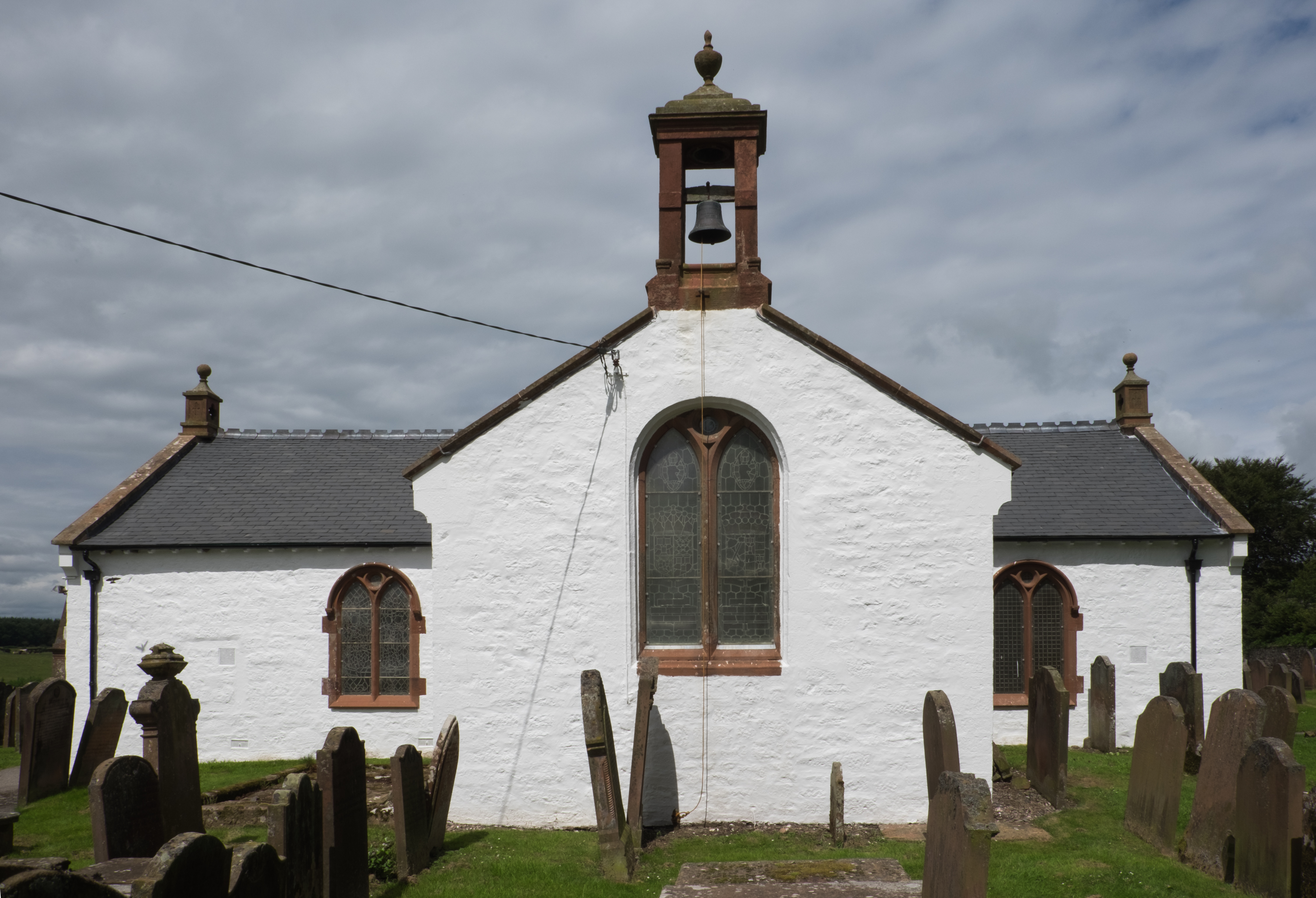
Greenhill Plantation Images

Images are sourced within 2km of 54.987966/-3.376192 or Grid Reference NY1266. Thanks to Geograph Open Source API. All images are credited.

Bridge over Glen Burn
Field near Glenstuart
Old milestone This Mail Trust milestone is at the western end of Cummertrees just before the B724 goes under the low railway bridge.
Old milestone
This Mail Trust milestone is at the western end of Cummertrees just before the B724 goes under the low railway bridge.
Old milestone Looking southeast towards Cummertrees village gives the setting of this 'looked after' milestone.
Old milestone
Looking southeast towards Cummertrees village gives the setting of this 'looked after' milestone.
Old milestone Damaged several years ago this milestone has been repainted so is once again obvious to the passer-by.  It is opposite Telegraph Pole 22 1 mile west of Cummertrees.
Old milestone
Damaged several years ago this milestone has been repainted so is once again obvious to the passer-by. It is opposite Telegraph Pole 22 1 mile west of Cummertrees.
Old milestone Easy to spot at the base of the banking and near the field entrance, even though the milestone is slightly sunken.
Old milestone
Easy to spot at the base of the banking and near the field entrance, even though the milestone is slightly sunken.
Old milestone Westwards on the B725 after going under the low railway bridge, the 6 miles from Annan milestone is seen on the verge just before the lane to Newfield.  In 2011 it was well painted but now the paint is peeling.   The bright celandines add some sparkle.
Old milestone
Westwards on the B725 after going under the low railway bridge, the 6 miles from Annan milestone is seen on the verge just before the lane to Newfield. In 2011 it was well painted but now the paint is peeling. The bright celandines add some sparkle.
Old milestone Looking eastwards from the milestone towards the skew railway bridge.   Plenty of celandines on this April day.
Old milestone
Looking eastwards from the milestone towards the skew railway bridge. Plenty of celandines on this April day.
Lay-by Taken at a lay-by west of Cummertrees
Lay-by
Taken at a lay-by west of Cummertrees
Ruthwell An attractive Annandale village. The signs are for the Savings Bank Museum, which is in the building where the world's first savings bank was started by a local clergyman, the Rev. Henry Duncan. See <span class="nowrap"><a title="http://www.savingsbanksmuseum.co.uk/savings_banks_history.html" rel="nofollow ugc noopener" href="http://www.savingsbanksmuseum.co.uk/savings_banks_history.html">Link</a><img style="margin-left:2px;" alt="External link" title="External link - shift click to open in new window" src="https://s1.geograph.org.uk/img/external.png" width="10" height="10"/></span>
Ruthwell
An attractive Annandale village. The signs are for the Savings Bank Museum, which is in the building where the world's first savings bank was started by a local clergyman, the Rev. Henry Duncan. See LinkExternal link
Ruthwell The eastern end of the village.
Ruthwell
The eastern end of the village.
Looking West towards Criffel from NY129650
Looking East  towards Moss-side and Riddindyke
Looking East towards Moss-side and Riddindyke
Priestside Farm from shoreline Some indication of the coastal erosion is seen in this photograph.
Priestside Farm from shoreline
Some indication of the coastal erosion is seen in this photograph.
Saltmarsh near east Howcreek
looking West from shore near East Howcreek
Abandoned fishermans Cottage near Nethertown.
Samphire Samphire can be seen growing in many places on the mud flats of the inner Solway.
Samphire
Samphire can be seen growing in many places on the mud flats of the inner Solway.
Show me another place!

Greenhill Plantation is located at Grid Ref: NY1266 (Lat: 54.987966, Lng: -3.376192)

Unitary Authority: Dumfries and Galloway

Police Authority: Dumfries and Galloway

What 3 Words

///gentlemen.bother.smile. Near Annan, Dumfries & Galloway

Related Wikis

Cummertrees railway station

Cummertrees railway station was a railway station in Dumfries and Galloway south of Dumfries, serving the village of Cummertrees. The village lies some...

Cummertrees

Cummertrees is a coastal village and civil parish of Annandale in the historical county of Dumfriesshire in Dumfries and Galloway. It lies about 1 mile...

Ruthwell

Ruthwell is a village and parish on the Solway Firth between Dumfries and Annan in Dumfries and Galloway, Scotland. Thomas Randolph, Earl of Moray, gave...

Ruthwell Cross

The Ruthwell Cross is a stone Anglo-Saxon cross probably dating from the 8th century, when the village of Ruthwell, now in Scotland, was part of the Anglo...

Nearby Amenities

Located within 500m of 54.987966,-3.376192
Power: pole
Lat/Long: 54.9907652/-3.3817348
Power: pole
Lat/Long: 54.9907313/-3.3800399
Power: pole
Lat/Long: 54.9906958/-3.3783526
Power: pole
Lat/Long: 54.9906721/-3.3766731
Power: pole
Lat/Long: 54.9906485/-3.375009
Power: pole
Lat/Long: 54.9906204/-3.3733475
Power: pole
Lat/Long: 54.9905938/-3.3715624
Power: pole
Lat/Long: 54.9905776/-3.370447
Power: pole
Lat/Long: 54.9901992/-3.3695068
The data included in this document is from www.openstreetmap.org. The data is made available under ODbL.

Have you been to Greenhill Plantation?

Leave your review of Greenhill Plantation below (or comments, questions and feedback).