Blairhall Plantation

Wood, Forest in Perthshire

Scotland

Blairhall Plantation

Tay, Denmark Green
Tay, Denmark Green Credit: Richard Webb

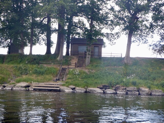
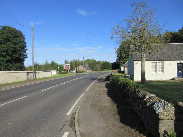
Blairhall Plantation is a picturesque woodland located in Perthshire, Scotland. Spanning an area of approximately 200 acres, it is renowned for its natural beauty and diverse ecosystem. The plantation is situated near the village of Blairhall and is easily accessible to visitors.

The woodland is predominantly composed of native tree species such as oak, birch, and pine, creating a rich and varied habitat for a wide range of flora and fauna. The dense canopy offers a sheltered environment for numerous bird species, including woodpeckers, owls, and songbirds. Visitors may also spot various mammals such as deer, squirrels, and rabbits.

Blairhall Plantation offers a network of well-maintained trails, providing visitors with opportunities for leisurely walks and nature exploration. The paths wind through the woodland, offering breathtaking views of the surrounding countryside and glimpses of the nearby River Tay.

The plantation is also home to several historic features, adding to its charm and cultural significance. The remains of an old sawmill can be found on the site, serving as a reminder of the area's past industrial activity. Additionally, there are remnants of stone walls and other structures that once formed part of the estate's infrastructure.

Overall, Blairhall Plantation is a haven for nature enthusiasts and those seeking a tranquil escape. Its stunning landscape, diverse wildlife, and historic elements make it a must-visit destination in Perthshire.

If you have any feedback on the listing, please let us know in the comments section below.

Blairhall Plantation Images

Images are sourced within 2km of 56.43794/-3.4369382 or Grid Reference NO1128. Thanks to Geograph Open Source API. All images are credited.

Tay, Denmark Green
Tay, Denmark Green
River Tay, Denmarkfield Downstream, a scar on the hillside is the construction at Bertha Park as Perth expands northwards.
River Tay, Denmarkfield
Downstream, a scar on the hillside is the construction at Bertha Park as Perth expands northwards.
King's Stone Site of the Battle of Luncarty 990 AD.
King's Stone
Site of the Battle of Luncarty 990 AD.
King's Stone, Luncarty Standing stone seen from the river path.  The King's Stone paired with one to the West (East of) Denmarkfield farm historically associated with the battle of Luncarty.
King's Stone, Luncarty
Standing stone seen from the river path. The King's Stone paired with one to the West (East of) Denmarkfield farm historically associated with the battle of Luncarty.
East Bank, River Tay
Banks of the Tay View along the back of the river Tay from near the racecourse.
Banks of the Tay
View along the back of the river Tay from near the racecourse.
Gently curving bend Looking downstream on the river Tay towards a gentle bend in the river.
Gently curving bend
Looking downstream on the river Tay towards a gentle bend in the river.
The Strawberry Shed A well-known farm shop selling its own soft fruit and a variety of other delicacies.
The Strawberry Shed
A well-known farm shop selling its own soft fruit and a variety of other delicacies.
St David's Chapel Southern elevation of the converted St David's Chapel at Stormontfield.
St David's Chapel
Southern elevation of the converted St David's Chapel at Stormontfield.
St David's Chapel Sundial Close up of the sundial on the south wall of St David's Chapel at Stormontfield.
St David's Chapel Sundial
Close up of the sundial on the south wall of St David's Chapel at Stormontfield.
Bales by Stormontfield Road Field of bales to the west of the Stormontfield road.
Bales by Stormontfield Road
Field of bales to the west of the Stormontfield road.
Potato field next to Stormontfield Road Field of potatoes to the east of the Stormontfield road.
Potato field next to Stormontfield Road
Field of potatoes to the east of the Stormontfield road.
Entrance to Perth Racecourse The entrance to Perth Racecourse at Scone Palace, from the Stormontfield Road.
Entrance to Perth Racecourse
The entrance to Perth Racecourse at Scone Palace, from the Stormontfield Road.
A93 at Old Scone The A93 northbound at Old Scone.
A93 at Old Scone
The A93 northbound at Old Scone.
New builds at Scone New housing at Austen Way, Mansfield Park, on the north-western edge of Scone.
New builds at Scone
New housing at Austen Way, Mansfield Park, on the north-western edge of Scone.
Colenhaugh seen from the Tay
River Tay, Luncarty
River Tay, Luncarty
Tay and Tayview Luncarty
Tay and Tayview
Luncarty
Show me another place!

Blairhall Plantation is located at Grid Ref: NO1128 (Lat: 56.43794, Lng: -3.4369382)

Unitary Authority: Perth and Kinross

Police Authority: Tayside

What 3 Words

///regret.closet.vibrates. Near Luncarty, Perth & Kinross

Related Wikis

Scone Abbey

Scone Abbey (originally Scone Priory) was a house of Augustinian canons located in Scone, Perthshire (Gowrie), Scotland. Dates given for the establishment...
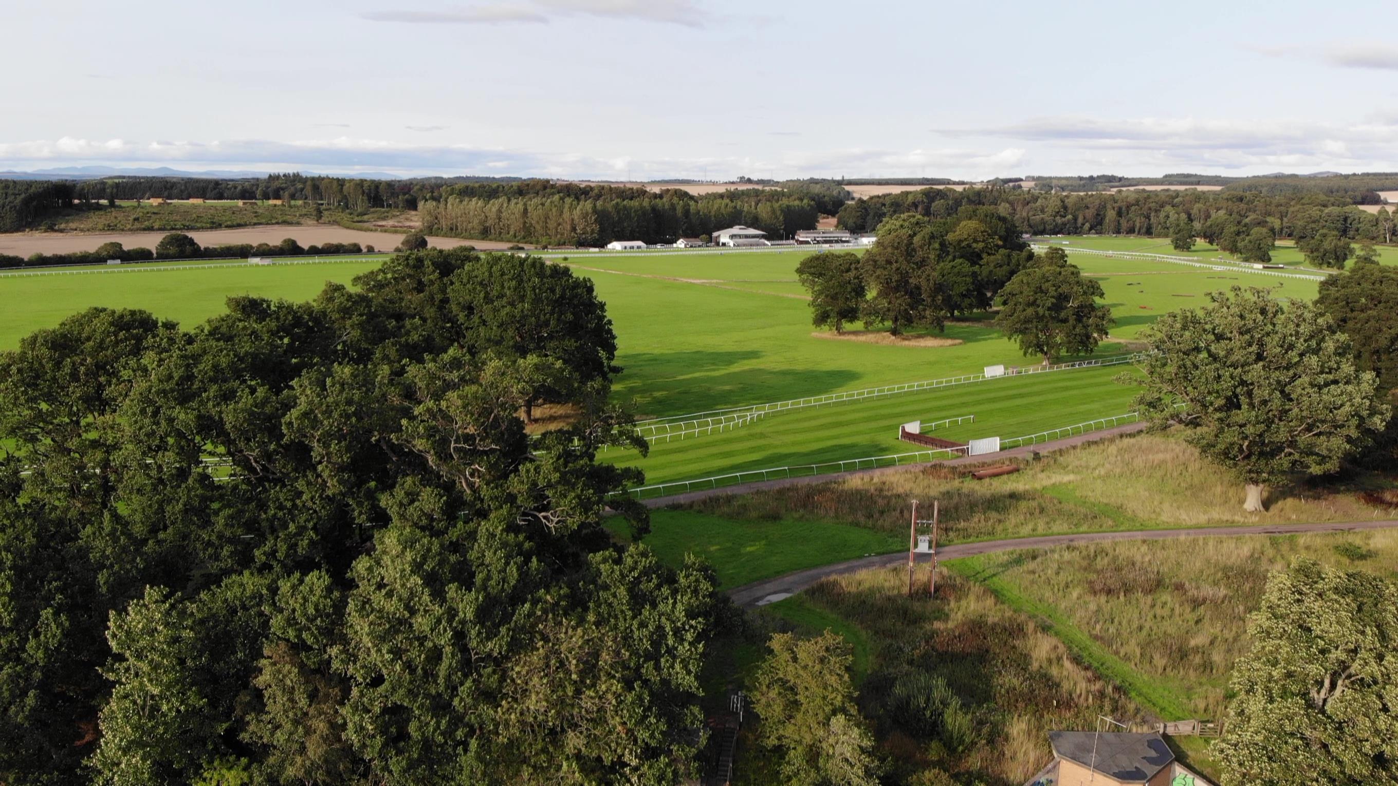
Perth Racecourse

Perth Racecourse is a thoroughbred horse racing venue adjacent to the ancient Scone Palace, near Perth, Scotland.Perth Racecourse at the site in Scone...

Old Scone mercat cross

Old Scone mercat cross (also known as Old Scone market cross) is the sole remnant of the ancient Scottish town of Old Scone, which was dissolved in 1803...

St David's Chapel

St David's Chapel is a Church of Scotland church in Stormontfield, Perth and Kinross, Scotland. Now a Category B listed building, it was built in 1897...
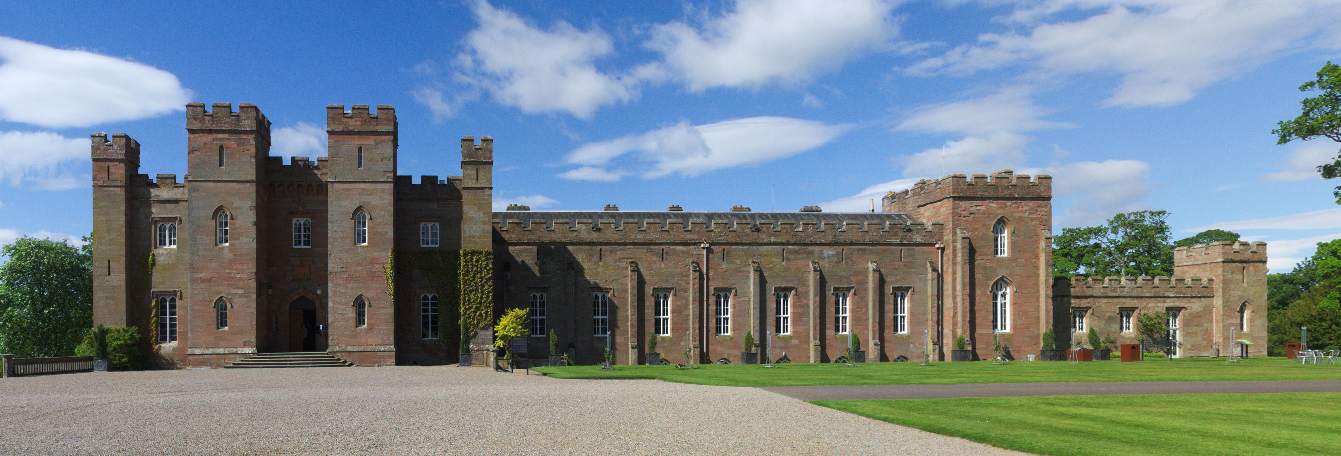
Scone Palace

Scone Palace is a Category A-listed historic house near the village of Scone and the city of Perth, Scotland. Built in red sandstone with a castellated...
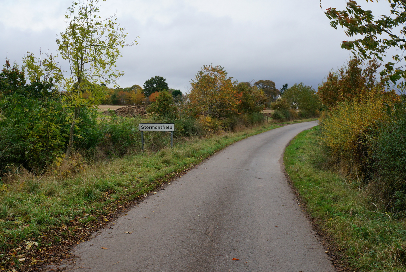
Stormontfield

Stormontfield is a village in Perth and Kinross, Scotland, about 4 miles (6 kilometres) north of Perth. It is located on the eastern banks of the River...

Cramock Burn

Cramock Burn is an historic 2.7 mi (4.3 km)-long watercourse in Scone, Perth and Kinross, Scotland. It is a tributary of the River Tay, which it joins...

River Almond, Perth and Kinross

The River Almond (Scottish Gaelic: Uisge Amain) is a tributary of the River Tay in Perth and Kinross, Scotland. It rises in the hills to the south-east...

Nearby Amenities

Located within 500m of 56.43794,-3.4369382
Power: pole
Lat/Long: 56.4407157/-3.4421689
Power: pole
Lat/Long: 56.4402598/-3.4416555
Power: pole
Lat/Long: 56.439667/-3.4409854
Power: pole
Lat/Long: 56.4390823/-3.4403111
Power: pole
Lat/Long: 56.4386537/-3.4398327
Power: pole
Lat/Long: 56.438583/-3.4386017
Power: pole
Lat/Long: 56.4385077/-3.4373892
Power: pole
Lat/Long: 56.4384314/-3.4361603
Power: pole
Lat/Long: 56.4383322/-3.4345292
Power: pole
Lat/Long: 56.4382068/-3.4335312
Power: pole
Lat/Long: 56.4380723/-3.4325806
Power: pole
Lat/Long: 56.4379503/-3.431661
Power: pole
Lat/Long: 56.4378078/-3.4304567
Power: pole
Lat/Long: 56.4376722/-3.4293907
Power: pole
Lat/Long: 56.4387836/-3.4361396
Power: pole
Lat/Long: 56.4391165/-3.4361211
Power: pole
Lat/Long: 56.4380107/-3.4405585
Power: pole
Lat/Long: 56.4374704/-3.4411895
Power: pole
Lat/Long: 56.4369346/-3.4417957
Power: pole
Lat/Long: 56.4363817/-3.4424246
Power: pole
Lat/Long: 56.4358413/-3.4430474
The data included in this document is from www.openstreetmap.org. The data is made available under ODbL.

Have you been to Blairhall Plantation?

Leave your review of Blairhall Plantation below (or comments, questions and feedback).