Pieries Burn Wood
Wood, Forest in Fife
Scotland
Pieries Burn Wood
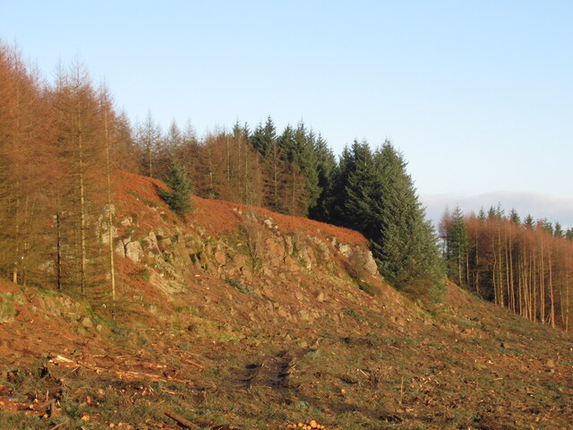
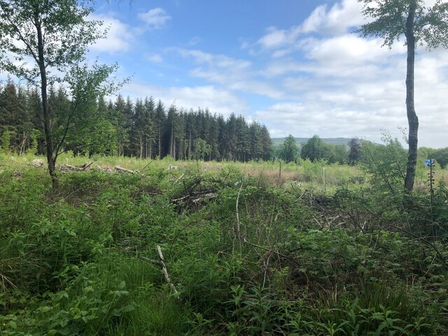
Pieries Burn Wood is a scenic woodland located in the county of Fife, Scotland. Situated near the village of Luthrie, this forest covers an area of approximately 45 hectares. The woodland is named after the small river, Pieries Burn, which flows through the area, adding to the charm and tranquility of the surroundings.
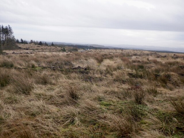
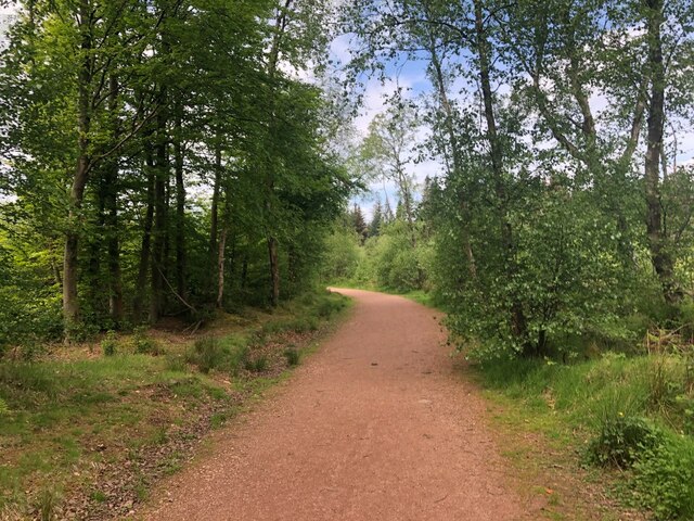
The wood consists mainly of native broadleaf trees, including oak, beech, birch, and rowan. These trees create a dense canopy, providing shade and shelter for a variety of wildlife. The forest floor is carpeted with a diverse range of flora, including bluebells, wood sorrel, and wild garlic, creating a vibrant and colorful landscape during the spring and summer months.
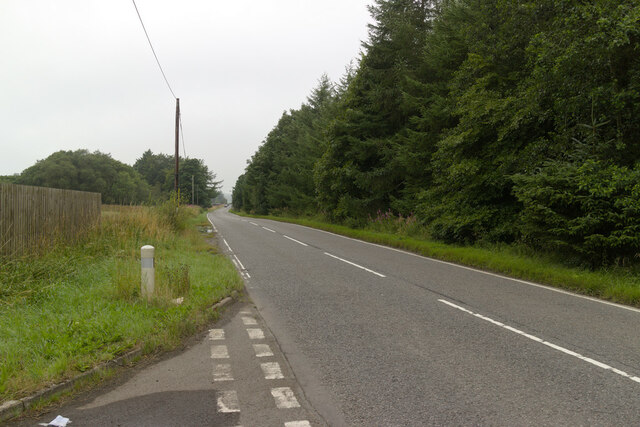
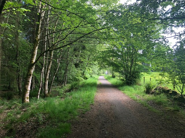
Pieries Burn Wood is a popular destination for nature lovers, walkers, and birdwatchers. The woodland boasts an extensive network of well-maintained paths and trails, allowing visitors to explore and enjoy the natural beauty of the area. The birdlife in the forest is particularly noteworthy, with species such as woodpeckers, nuthatches, and goldcrests being frequently spotted.
The woodland also holds historical importance, as remnants of old charcoal pits can still be found within its boundaries. These pits are a testament to the area's rich industrial past, where charcoal production played a significant role.
Overall, Pieries Burn Wood offers a peaceful and picturesque setting for outdoor enthusiasts and those seeking a connection with nature. Its diverse flora and fauna, along with its historical significance, make it a cherished natural resource within the Fife region.
If you have any feedback on the listing, please let us know in the comments section below.
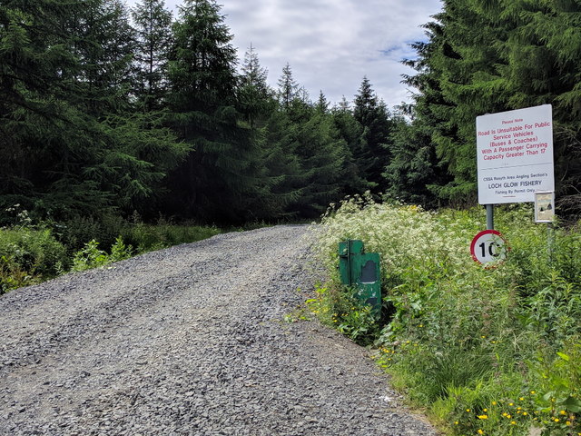
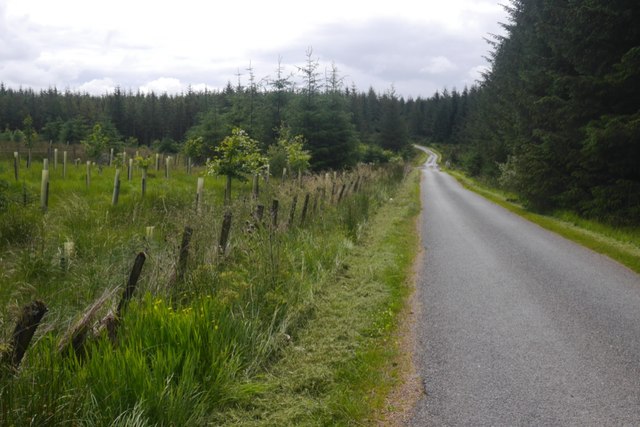
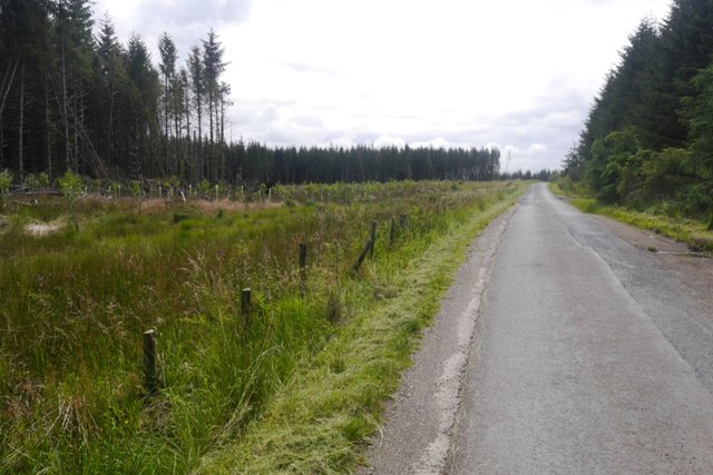
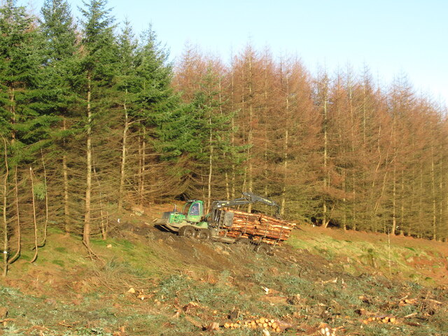
Pieries Burn Wood Images
Images are sourced within 2km of 56.140662/-3.425906 or Grid Reference NT1195. Thanks to Geograph Open Source API. All images are credited.


Pieries Burn Wood is located at Grid Ref: NT1195 (Lat: 56.140662, Lng: -3.425906)
Unitary Authority: Fife
Police Authority: Fife
What 3 Words
///shades.sung.undertone. Near Kelty, Fife
Nearby Locations
Related Wikis

Dowhill Castle
Dowhill Castle is a ruined castle in Perth and Kinross, Scotland. Sited on a hill near Loch Leven, the oldest part of the castle was built in around 1500...

Keltybridge
Keltybridge is a village in Perth and Kinross, Scotland, about one mile north of Kelty, which is across the Fife border. It stands on the northern banks...

Lassodie
Lassodie is an abandoned settlement located two miles south-west of Kelty, between Dunfermline and Cowdenbeath, in Fife. == History == The name Lassodie...

Blairadam railway station
Blairadam railway station is a disused station in Fife, Scotland which was open from 1860 to 1964 on the Kinross-shire Railway. == History == The station...
Nearby Amenities
Located within 500m of 56.140662,-3.425906Have you been to Pieries Burn Wood?
Leave your review of Pieries Burn Wood below (or comments, questions and feedback).