Blackcraig Forest
Wood, Forest in Perthshire
Scotland
Blackcraig Forest

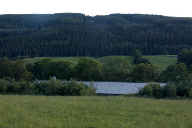
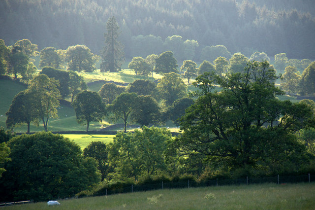
Blackcraig Forest is a picturesque woodland located in Perthshire, Scotland. Spanning over 2,000 hectares, this enchanting forest offers visitors a tranquil and immersive experience in the heart of nature. The forest is situated on the southern slopes of the Grampian Mountains, providing breathtaking views of the surrounding landscape.
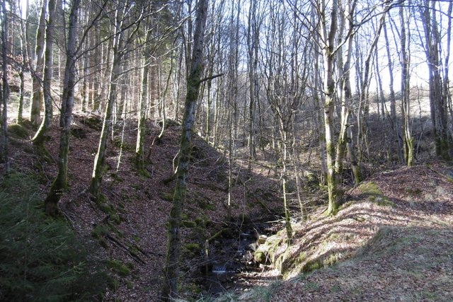
This woodland is predominantly composed of native trees such as Scots pine, birch, and oak, creating a diverse and rich ecosystem. The dense canopy provides shade and shelter for a variety of wildlife, including red squirrels, roe deer, and a multitude of bird species. Nature enthusiasts can enjoy observing and listening to the soothing sounds of the forest's inhabitants as they explore the numerous walking trails.
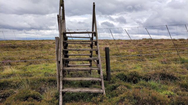
Blackcraig Forest is renowned for its well-maintained paths, making it accessible to both casual walkers and avid hikers. The forest boasts a network of trails that cater to various fitness levels and preferences. From gentle strolls along the riverbanks to more challenging uphill hikes, there is something for everyone.
In addition to its natural beauty, Blackcraig Forest also offers recreational activities such as mountain biking and horseback riding. The forest has designated areas for these activities, ensuring the safety and enjoyment of all visitors.
Whether one seeks solitude and tranquility or an adventurous outdoor experience, Blackcraig Forest is a hidden gem in Perthshire. Its stunning landscapes, diverse wildlife, and well-maintained trails make it a must-visit destination for nature lovers and outdoor enthusiasts alike.
If you have any feedback on the listing, please let us know in the comments section below.
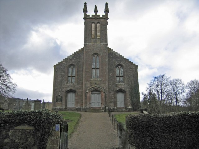
Blackcraig Forest Images
Images are sourced within 2km of 56.642113/-3.4495537 or Grid Reference NO1150. Thanks to Geograph Open Source API. All images are credited.


Blackcraig Forest is located at Grid Ref: NO1150 (Lat: 56.642113, Lng: -3.4495537)
Unitary Authority: Perth and Kinross
Police Authority: Tayside
What 3 Words
///shoelaces.wiped.curated. Near Blairgowrie, Perth & Kinross
Nearby Locations
Related Wikis

Blackcraig Castle
Blackcraig Castle is a Baronial mansion house dating from 1856 in Perthshire, Scotland, close to the towns of Ballintuim and Blairgowrie on the banks of...

Bridge of Cally
Bridge of Cally is a small village in Kirkmichael parish, Perth and Kinross, Scotland. It sits at the junction of three glens, Glenshee, Strathardle and...

River Ardle
The River Ardle (Scottish Gaelic: Abhainn Àrdail) is a tributary of the River Ericht. It runs for 10 miles (16 km) through Strathardle in Perthshire, Scotland...

Loch Benachally
Loch Benachally is a large shallow freshwater reservoir that is located close to the Forest of Clunie in Perth and Kinross, Scotland.The reservoir is operated...

Achalader
Achalader (Scottish Gaelic: Achadh Chaladair) is a settlement in the council area of Perth and Kinross, Scotland. Achalader is situated 3 miles (5 kilometres...

Loch of Clunie
Loch of Clunie is a small lowland freshwater loch that is located two miles (three kilometres) west of Blairgowrie, Perth and Kinross, Scotland. ��2�...
Clunie
Clunie is a small settlement in Perthshire, Scotland, four miles (six kilometres) west of Blairgowrie. It lies on the western shore of the Loch of Clunie...

Kinloch, Blairgowrie
Kinloch is a hamlet and civil parish immediately north of the Loch of Drumellie, about two miles (three kilometres) west of Blairgowrie in Perth and Kinross...
Related Videos

The Bridge House #scotland
The view of Loch Ness on approach to Inverness.
Nearby Amenities
Located within 500m of 56.642113,-3.4495537Have you been to Blackcraig Forest?
Leave your review of Blackcraig Forest below (or comments, questions and feedback).