Fir Knoll Wood
Wood, Forest in Peeblesshire
Scotland
Fir Knoll Wood
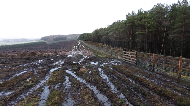
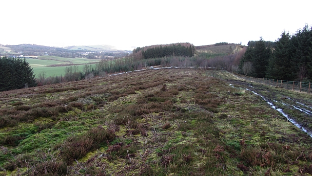
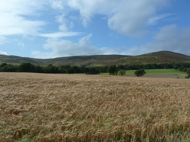
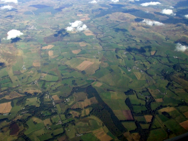
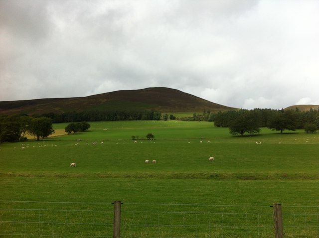
Fir Knoll Wood, located in Peeblesshire, is a picturesque forest known for its abundant fir trees and tranquil atmosphere. Covering an area of approximately 100 acres, the wood is a popular destination for nature enthusiasts, hikers, and birdwatchers.
The forest is characterized by its dense vegetation, predominantly consisting of tall fir trees that provide a dense canopy, creating a shaded and cool environment even during the hot summer months. The towering trees also serve as a habitat for a variety of bird species, making it a haven for birdwatchers who can spot species like the great spotted woodpecker, the common redstart, and the willow warbler.
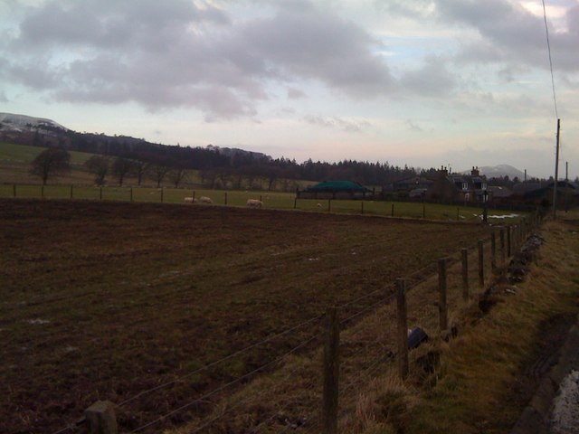
Fir Knoll Wood offers an extensive network of well-maintained trails, allowing visitors to explore the forest at their own pace. The trails wind through the forest, offering breathtaking views of the surrounding countryside and providing opportunities to observe the diverse flora and fauna that call the wood their home. Additionally, benches and picnic areas are scattered throughout the forest, providing visitors with a chance to relax and enjoy the serenity of their surroundings.
The wood also holds historical significance, with remnants of ancient settlements and evidence of human activity dating back centuries. Archaeological finds such as pottery shards and stone tools have been discovered in the area, attracting history enthusiasts and researchers interested in the region's past.
Overall, Fir Knoll Wood is a cherished natural gem in Peeblesshire, offering visitors a chance to immerse themselves in the beauty of nature while enjoying a range of recreational activities.
If you have any feedback on the listing, please let us know in the comments section below.
Fir Knoll Wood Images
Images are sourced within 2km of 55.690275/-3.4141739 or Grid Reference NT1144. Thanks to Geograph Open Source API. All images are credited.


Fir Knoll Wood is located at Grid Ref: NT1144 (Lat: 55.690275, Lng: -3.4141739)
Unitary Authority: The Scottish Borders
Police Authority: The Lothians and Scottish Borders
What 3 Words
///dairies.underline.amaze. Near West Linton, Scottish Borders
Nearby Locations
Related Wikis

Kirkurd
Kirkurd is a parish in Peeblesshire in the Scottish Borders situated 3 miles south-east of Dolphinton and 6 miles north-east of Broughton. Tarth Water...

Dolphinton
Dolphinton is a village and parish in Lanarkshire, Scotland. It is located 7 miles (11 km) northeast of Biggar, 11 miles (18 km) northeast of Carstairs...
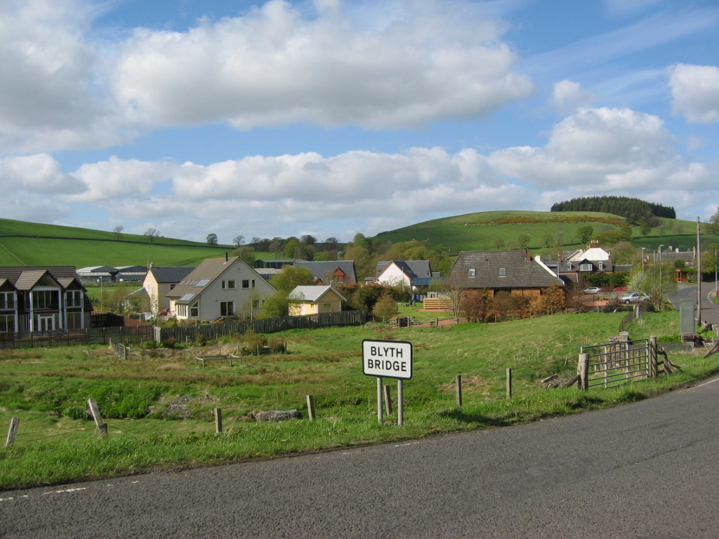
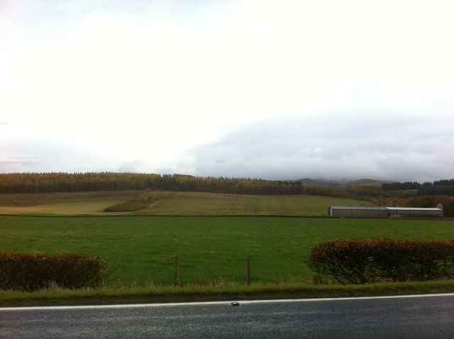
Blyth Bridge
Blyth Bridge is a small hamlet in the Scottish Borders area of Scotland, near to West Linton. It is located in a bend on the A701 which goes from Moffat...
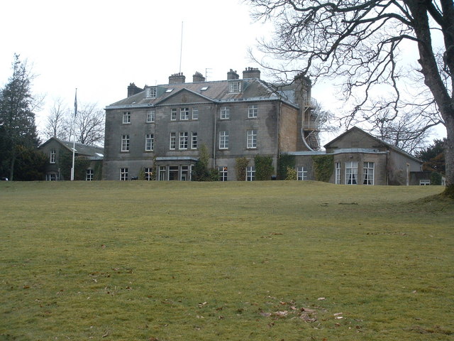
Castle Craig Hospital
Castle Craig Hospital is a private residential drug and alcohol rehabilitation clinic. It is located in Peeblesshire, Scotland. Castle Craig is an 18th...
Have you been to Fir Knoll Wood?
Leave your review of Fir Knoll Wood below (or comments, questions and feedback).