Back Wood
Wood, Forest in Perthshire
Scotland
Back Wood

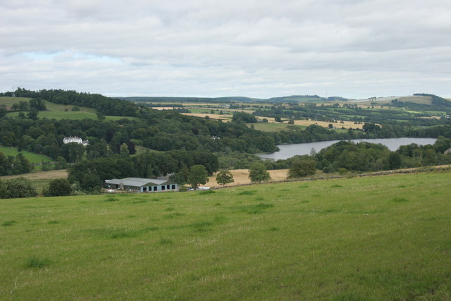
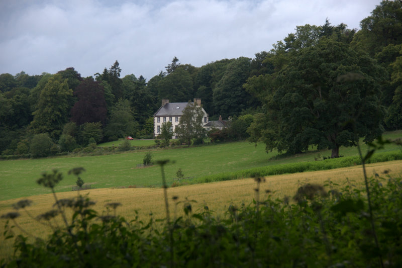
Back Wood is a beautiful and enchanting forest located in Perthshire, Scotland. Stretching over a vast area, it is surrounded by breathtaking natural landscapes and is a haven for nature lovers and outdoor enthusiasts. The forest is known for its dense canopy, towering trees, and a diverse range of flora and fauna.
The woodland is home to a variety of tree species such as oak, birch, and pine, which provide a rich and diverse ecosystem. The forest floor is adorned with a carpet of vibrant wildflowers and ferns, enhancing the beauty of the surroundings. The tranquil atmosphere and fresh air make it a perfect destination for those seeking solitude and peace.
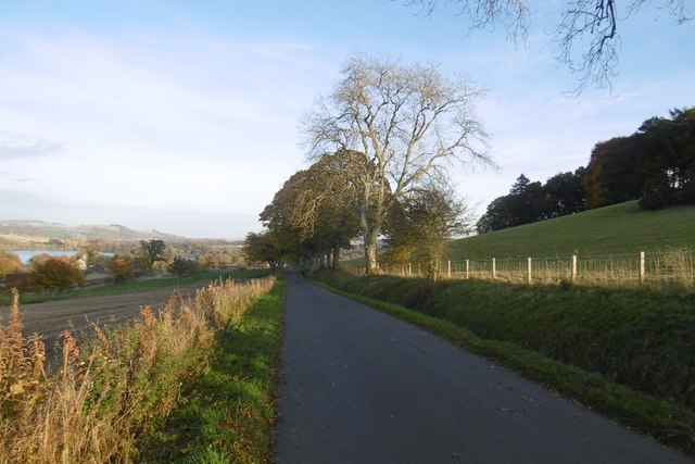
Back Wood offers numerous walking trails and paths, allowing visitors to explore the forest and immerse themselves in nature. The trails are well-maintained and suitable for all levels of fitness, making it accessible to a wide range of people. Along the paths, one can spot an array of wildlife, including deer, squirrels, and a variety of bird species.
The forest also boasts a small stream that meanders through its heart, adding to its charm and providing a serene backdrop for picnics or quiet contemplation. Additionally, Back Wood is a popular spot for nature photography, with its picturesque landscapes and abundant wildlife serving as perfect subjects.
Overall, Back Wood in Perthshire is a captivating destination that offers a unique and immersive experience in the heart of nature. Its natural beauty, diverse ecosystem, and peaceful ambiance make it a must-visit location for anyone seeking solace and a connection with the outdoors.
If you have any feedback on the listing, please let us know in the comments section below.
Back Wood Images
Images are sourced within 2km of 56.585646/-3.4492311 or Grid Reference NO1144. Thanks to Geograph Open Source API. All images are credited.


Back Wood is located at Grid Ref: NO1144 (Lat: 56.585646, Lng: -3.4492311)
Unitary Authority: Perth and Kinross
Police Authority: Tayside
What 3 Words
///pokes.ascendant.troubled. Near Blairgowrie, Perth & Kinross
Nearby Locations
Related Wikis

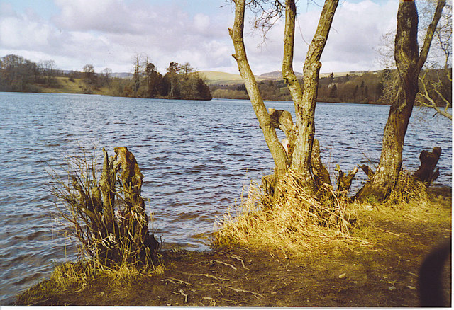
Loch of Clunie
Loch of Clunie is a small lowland freshwater loch that is located two miles (three kilometres) west of Blairgowrie, Perth and Kinross, Scotland. ��2�...
Clunie
Clunie is a small settlement in Perthshire, Scotland, four miles (six kilometres) west of Blairgowrie. It lies on the western shore of the Loch of Clunie...
Craigie (hamlet), Perth and Kinross
Craigie is a village 6 kilometres (3.7 miles) west of Blairgowrie, in Perth and Kinross, Scotland. It is situated on the eastern side of Loch Clunie.Robert...

Achalader
Achalader (Scottish Gaelic: Achadh Chaladair) is a settlement in the council area of Perth and Kinross, Scotland. Achalader is situated 3 miles (5 kilometres...
Gourdie House
Gourdie House is an historic building in Craigie, Perth and Kinross, Scotland. It is a Category A listed building dating to 1765.The building is two storeys...
Loch of Drumellie
Loch of Drumellie also known as Marlee Loch or Loch of Marlee is a small lowland freshwater loch that is located 2.3 miles west of Blairgowrie, in Perth...

Kinloch, Blairgowrie
Kinloch is a hamlet and civil parish immediately north of the Loch of Drumellie, about two miles (three kilometres) west of Blairgowrie in Perth and Kinross...

Tower of Lethendy
Tower of Lethendy is a 17th-century L-plan tower house, about 3.5 miles (5.6 km) south west of Blairgowrie, Perth and Kinross, Scotland, and about 0.5...
Nearby Amenities
Located within 500m of 56.585646,-3.4492311Have you been to Back Wood?
Leave your review of Back Wood below (or comments, questions and feedback).