Castlehill
Settlement in Peeblesshire
Scotland
Castlehill

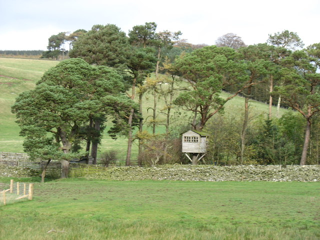
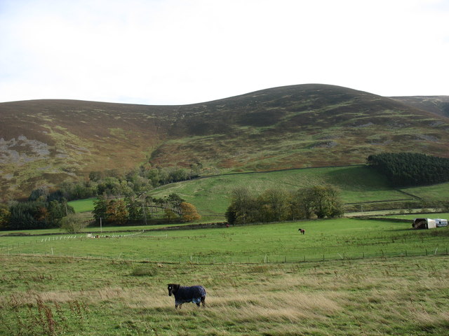
Castlehill is a small village located in Peeblesshire, Scotland. It is situated approximately 3 miles northeast of the town of Peebles, near the banks of the River Tweed. The village is known for its picturesque setting, surrounded by rolling hills and lush greenery.
Castlehill takes its name from the historic Castlehill Tower, a 16th-century tower house that once stood prominently in the area. Today, only the ruins of the tower remain, but they serve as a reminder of the village's rich history.
The village itself is home to a small community of residents who enjoy a quiet and peaceful lifestyle. The architecture in Castlehill is predominantly traditional, with charming stone cottages and farmhouses dotted throughout the area. The village is well-maintained, with neat gardens and well-preserved buildings adding to its charm.
Castlehill offers a range of amenities for its residents and visitors. There is a local pub that serves as a social hub for the community, providing a place to relax and socialize. The village also boasts a community center, which hosts various events and activities throughout the year.
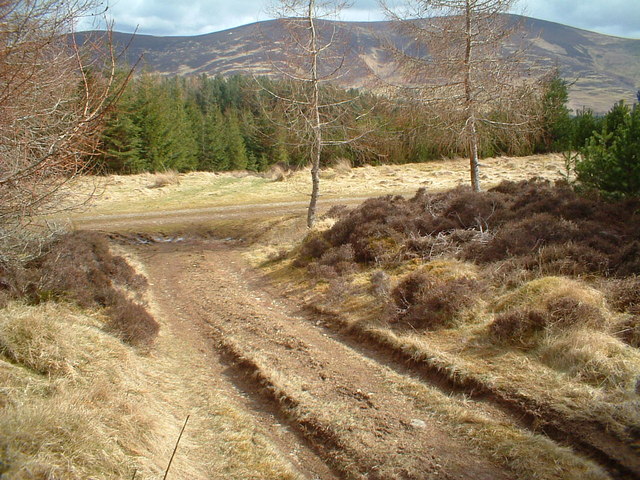
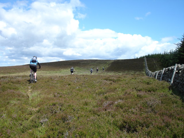
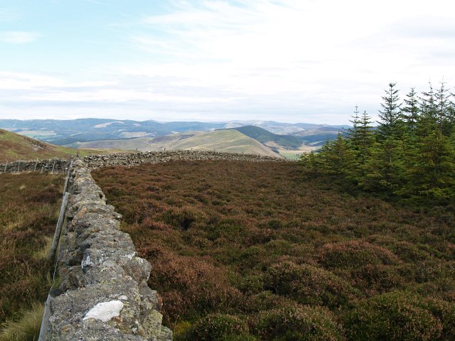
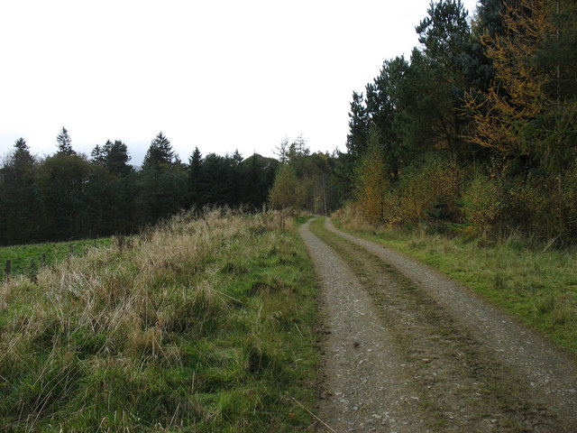
The surrounding countryside provides ample opportunities for outdoor enthusiasts. The nearby River Tweed is renowned for its salmon fishing, attracting anglers from far and wide. Additionally, the rolling hills and forests offer numerous walking and hiking trails, allowing visitors to explore the natural beauty of the area.
Overall, Castlehill is a quaint and picturesque village, offering a tranquil escape from the hustle and bustle of city life. Its rich history, stunning scenery, and friendly community make it an attractive destination for both residents and visitors alike.
If you have any feedback on the listing, please let us know in the comments section below.
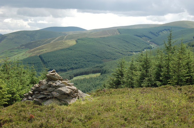
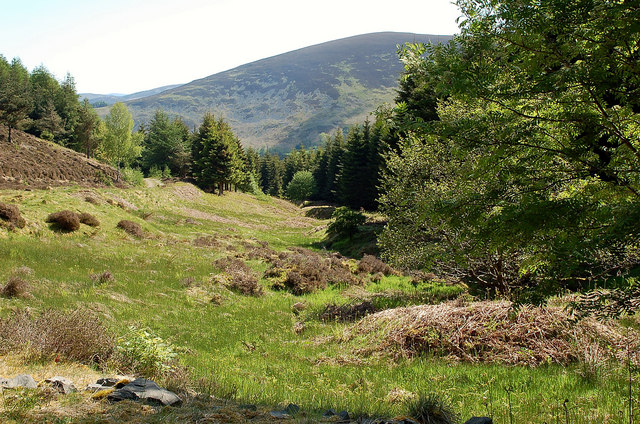
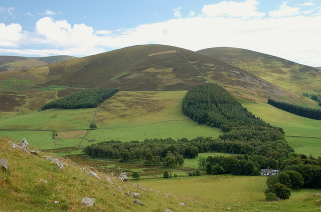
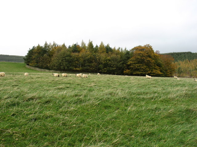
Castlehill Images
Images are sourced within 2km of 55.602178/-3.2553894 or Grid Reference NT2135. Thanks to Geograph Open Source API. All images are credited.


Castlehill is located at Grid Ref: NT2135 (Lat: 55.602178, Lng: -3.2553894)
Unitary Authority: The Scottish Borders
Police Authority: The Lothians and Scottish Borders
What 3 Words
///deflated.petty.budding. Near Peebles, Scottish Borders
Nearby Locations
Related Wikis
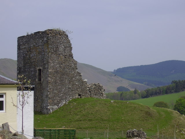
Castlehill Tower
Castlehill Tower, also known as Castle Hill of Manor, is a ruined oblong tower house dating from the end of the 15th century, situated in the parish of...

Lyne Water
The Lyne Water is a tributary of the River Tweed that rises in the Pentland Hills of southern Scotland at Baddinsgill Reservoir. It runs through West Linton...

Posso Tower
Posso Tower is a 16th-century tower house, about 6.0 miles (9.7 km) south and west of Peebles, Scottish Borders, Scotland, and west of Manor Water. �...
Manor, Scottish Borders
Manor is a parish in Peeblesshire in the Scottish Borders, whose church lies on the west bank of Manor Water 3 miles south-west of Peebles.The parish...
Nearby Amenities
Located within 500m of 55.602178,-3.2553894Have you been to Castlehill?
Leave your review of Castlehill below (or comments, questions and feedback).