Sandyhill Wood

Wood, Forest in Peeblesshire

Scotland

Sandyhill Wood

Old boundary stone and fence junction on Broomy Law The simple boundary stone marking the boundary between different landholdings has been surrounded by a tangle of modern fencing, in various states of (dis)repair.

The Black Mount, tinged purple with blooming heather, forms the backdrop.
Old boundary stone and fence junction on Broomy Law Credit: Alan O'Dowd

The requested URL returned error: 429 Too Many Requests

If you have any feedback on the listing, please let us know in the comments section below.

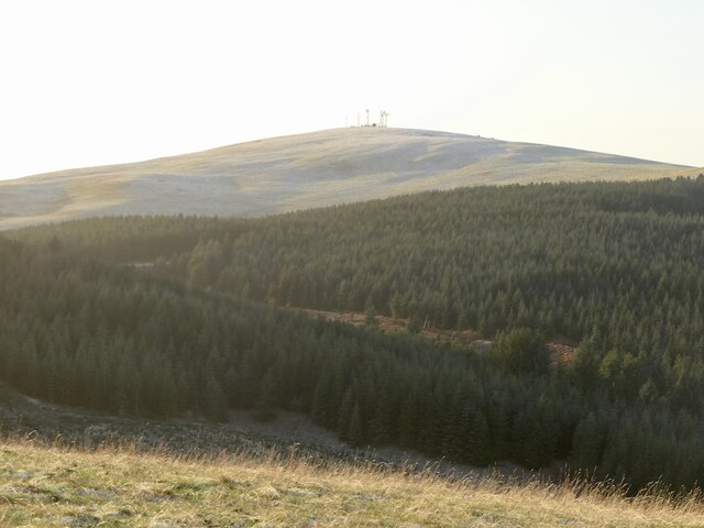
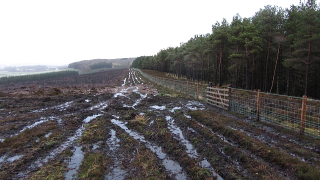
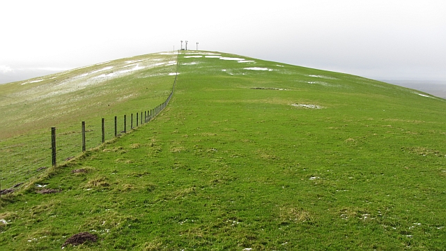
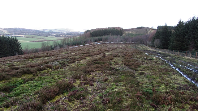
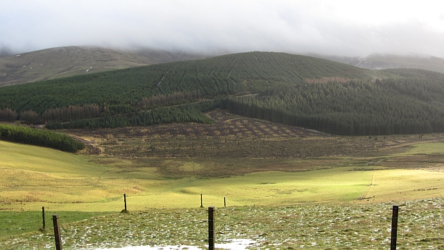
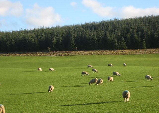
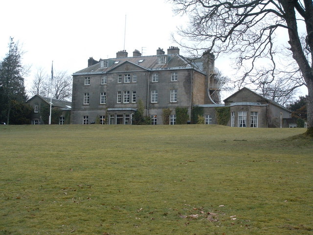
Sandyhill Wood Images

Images are sourced within 2km of 55.677196/-3.4231323 or Grid Reference NT1043. Thanks to Geograph Open Source API. All images are credited.

Old boundary stone and fence junction on Broomy Law The simple boundary stone marking the boundary between different landholdings has been surrounded by a tangle of modern fencing, in various states of (dis)repair.

The Black Mount, tinged purple with blooming heather, forms the backdrop.
Old boundary stone and fence junction on Broomy Law
The simple boundary stone marking the boundary between different landholdings has been surrounded by a tangle of modern fencing, in various states of (dis)repair. The Black Mount, tinged purple with blooming heather, forms the backdrop.
Decaying fencing, Broomy Law The Broughton Heights are visible in the background.
Decaying fencing, Broomy Law
The Broughton Heights are visible in the background.
Scattered Scots pines on Broomy Law Looking towards the Black Mount and the distant Pentland Hills.
Scattered Scots pines on Broomy Law
Looking towards the Black Mount and the distant Pentland Hills.
Windswept Scots pines on Broomy Law The Black Mount rises above the large T-shaped plantation in the distance.
Windswept Scots pines on Broomy Law
The Black Mount rises above the large T-shaped plantation in the distance.
Sheep track across the flank of Broomy Law Looking towards the distant Pentland Hills.
Sheep track across the flank of Broomy Law
Looking towards the distant Pentland Hills.
Broomy Law View from Sandy Hill.
Broomy Law
View from Sandy Hill.
Woodland path at The Big Red Barn
Broomy Law, northeast ridge The deep heather reported here: <a href="https://www.geograph.org.uk/photo/202152">NT0943 : Broomy Law, northeast ridge</a> has been burnt off and a series of muddy tracks run up the hill. The tracks are probably due to the recent building of a barbed wire fence between the moor and forest.
Broomy Law, northeast ridge
The deep heather reported here: NT0943 : Broomy Law, northeast ridge has been burnt off and a series of muddy tracks run up the hill. The tracks are probably due to the recent building of a barbed wire fence between the moor and forest.
Broomy Law A dip on the northeast ridge of Broomy Law. The summit is amongst masts, but is accessible.
Broomy Law
A dip on the northeast ridge of Broomy Law. The summit is amongst masts, but is accessible.
Broomy Law, northeast ridge Looking down from near the summit towards a small top. The hill is often grazed by cattle and the fences are electric. There are no difficulties in an ascent along the ridge.
Broomy Law, northeast ridge
Looking down from near the summit towards a small top. The hill is often grazed by cattle and the fences are electric. There are no difficulties in an ascent along the ridge.
Moorland northeast of Broomy Law The moor is ridged as if it was once ploughed for forestry. It has been wooded in the past.
Moorland northeast of Broomy Law
The moor is ridged as if it was once ploughed for forestry. It has been wooded in the past.
Woodland on Broomy Law Conifer wood with a view towards The Mount. <a href="https://www.geograph.org.uk/photo/1629540">NT0942 : The Mount</a>
Woodland on Broomy Law
Conifer wood with a view towards The Mount. NT0942 : The Mount
Northeast ridge, Broomy Law Trees from an older wood, now almost completely removed on the right, a recent conifer plantation on the left, beyond a new fence.
Northeast ridge, Broomy Law
Trees from an older wood, now almost completely removed on the right, a recent conifer plantation on the left, beyond a new fence.
Fences meet, Broomy Law Four fences meet the remains of a fifth on a top north east of Broomy Law (masts, background). This is the end of the moorland, from here to the summit and masts is all farmland.  There is a boundary stone here.
Fences meet, Broomy Law
Four fences meet the remains of a fifth on a top north east of Broomy Law (masts, background). This is the end of the moorland, from here to the summit and masts is all farmland. There is a boundary stone here.
The Mount The Mount is a wooded hill which has a good network of paths and roads over it. This is a view from the slightly higher Broomy Law.
The Mount
The Mount is a wooded hill which has a good network of paths and roads over it. This is a view from the slightly higher Broomy Law.
The Mount Climbed from NT 1004 4141 initially via marked track them taking obvious unmarked track to gap in forest to top.
Name: The Mount
Hill number: 5088
Height: 423m / 1388ft
Area: 28A: Firth of Forth to the River Tweed
Class: Hu
Grid ref: NT098421 (est)
Drop: 110m
Col: 313m  NT094428
The Mount
Climbed from NT 1004 4141 initially via marked track them taking obvious unmarked track to gap in forest to top. Name: The Mount Hill number: 5088 Height: 423m / 1388ft Area: 28A: Firth of Forth to the River Tweed Class: Hu Grid ref: NT098421 (est) Drop: 110m Col: 313m NT094428
View Towards Broomy Law Name: Broomy Law
Hill number: 1822
Height: 426m / 1398ft
Area: 28A: Firth of Forth to the River Tweed
Class: Ma
Grid ref: NT 08546 42875
Summit feature: no feature: east of masts before fence line
Drop: 165m
Col: 261m  NT085442
View Towards Broomy Law
Name: Broomy Law Hill number: 1822 Height: 426m / 1398ft Area: 28A: Firth of Forth to the River Tweed Class: Ma Grid ref: NT 08546 42875 Summit feature: no feature: east of masts before fence line Drop: 165m Col: 261m NT085442
Peaceful setting at Broomy Law wood Below Sandy Hill in Peeblesshire.
Peaceful setting at Broomy Law wood
Below Sandy Hill in Peeblesshire.
Show me another place!

Sandyhill Wood is located at Grid Ref: NT1043 (Lat: 55.677196, Lng: -3.4231323)

Unitary Authority: The Scottish Borders

Police Authority: The Lothians and Scottish Borders

What 3 Words

///studio.scoop.marmalade. Near Biggar, South Lanarkshire

Nearby Locations

Sandy Hill Sandyhill Wood

Related Wikis

Kirkurd

Kirkurd is a parish in Peeblesshire in the Scottish Borders situated 3 miles south-east of Dolphinton and 6 miles north-east of Broughton. Tarth Water...

Castle Craig Hospital

Castle Craig Hospital is a private residential drug and alcohol rehabilitation clinic. It is located in Peeblesshire, Scotland. Castle Craig is an 18th...

Dolphinton

Dolphinton is a village and parish in Lanarkshire, Scotland. It is located 7 miles (11 km) northeast of Biggar, 11 miles (18 km) northeast of Carstairs...

Brownsbank

Brownsbank (Brounsbank in Scots) is a cottage close to the small settlement of Candymill to the north of Biggar in Scotland. It is best known as the former...

Nearby Amenities

Located within 500m of 55.677196,-3.4231323
Sandy Hill
Ele: 348
Natural: peak
Lat/Long: 55.6743856/-3.4256712
Power: pole
Lat/Long: 55.6731649/-3.4198171
The data included in this document is from www.openstreetmap.org. The data is made available under ODbL.

Have you been to Sandyhill Wood?

Leave your review of Sandyhill Wood below (or comments, questions and feedback).