West Bow Muir

Wood, Forest in Fife

Scotland

West Bow Muir

Loch Glow Dam and the Inneans Two of the three Inneans are visible here.
Loch Glow Dam and the Inneans Credit: Robert Struthers

The requested URL returned error: 429 Too Many Requests

If you have any feedback on the listing, please let us know in the comments section below.

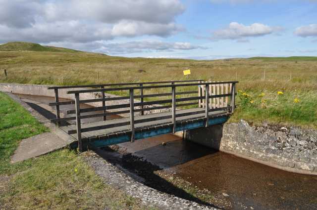
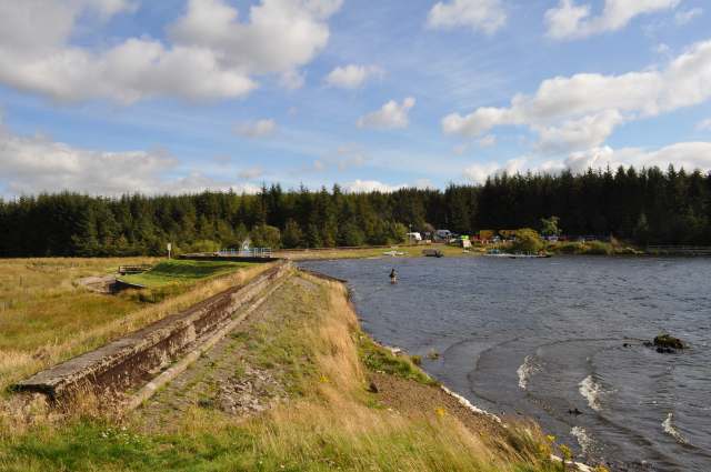
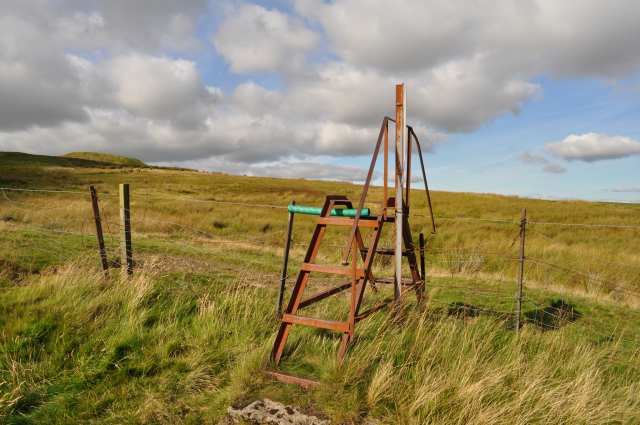
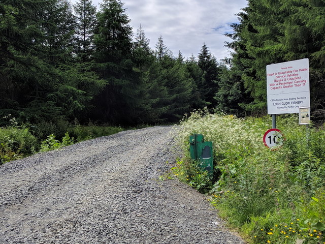
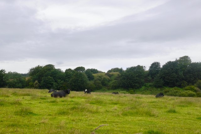
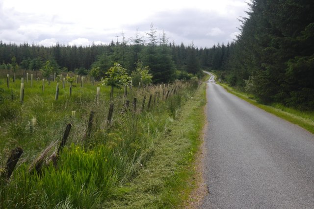
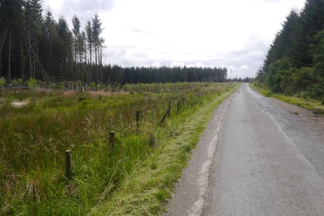
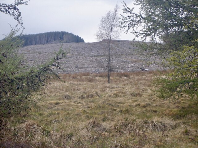
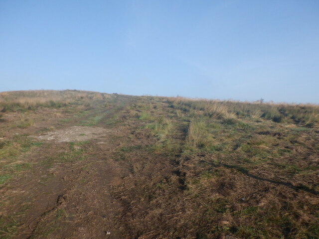
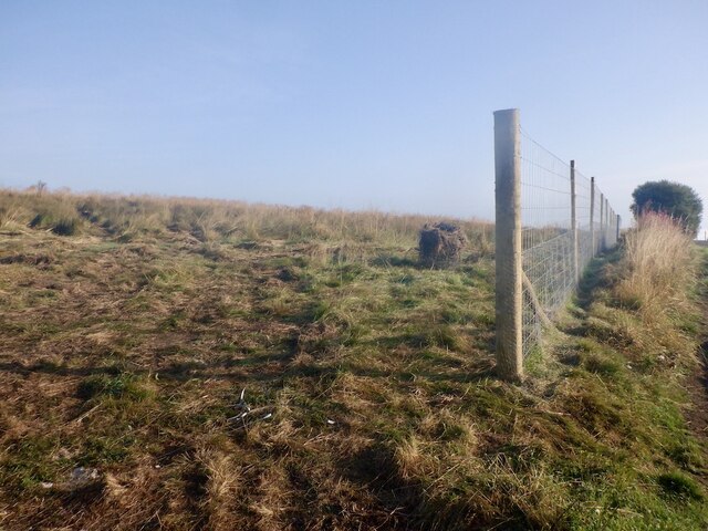
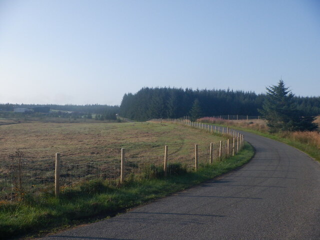
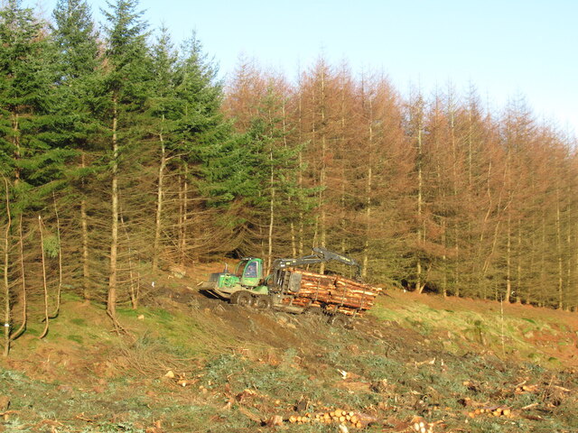
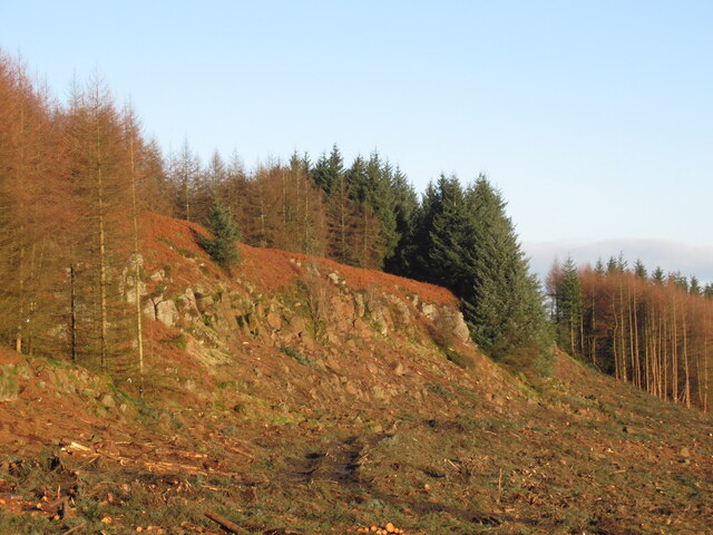
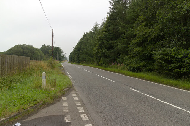
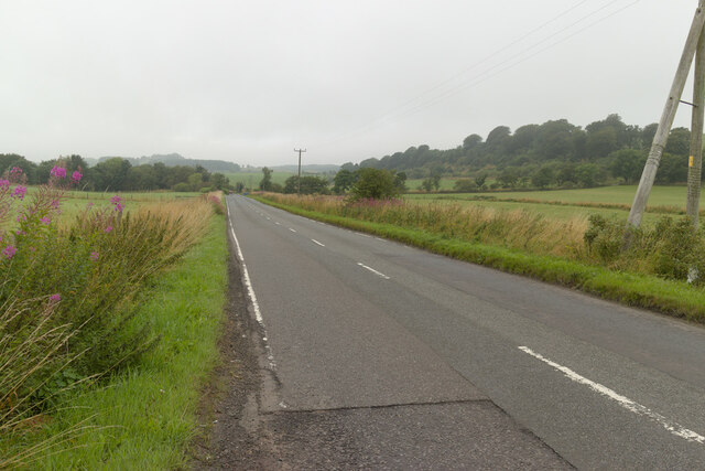
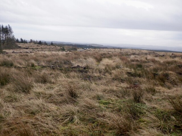
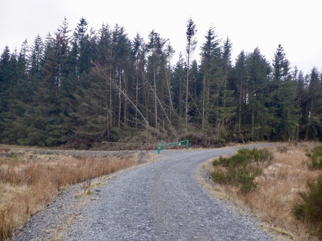
West Bow Muir Images

Images are sourced within 2km of 56.138401/-3.440322 or Grid Reference NT1094. Thanks to Geograph Open Source API. All images are credited.

Loch Glow Dam and the Inneans Two of the three Inneans are visible here.
Loch Glow Dam and the Inneans
Two of the three Inneans are visible here.
Footbridge over Spillway The footbridge over the Loch Glow dam spillway.
Footbridge over Spillway
The footbridge over the Loch Glow dam spillway.
Loch Glow Dam Looking across the dam to the car park.
Loch Glow Dam
Looking across the dam to the car park.
Metal Stile, Loch Glow The steps are sturdy enough but the handrail on the other side is a bit loose.
Metal Stile, Loch Glow
The steps are sturdy enough but the handrail on the other side is a bit loose.
Gravel road for Loch Glow Fishery
Cattle, Deanhead
Cattle, Deanhead
Road over the Cleish Hills Top of the pass and entering Blairadam Forest.
Road over the Cleish Hills
Top of the pass and entering Blairadam Forest.
Road over the Cleish Hills Near the Loch Glow road end and there has been some recent clear fell here. The remaining trees have suffered a lot of wind throw.  A big block of forestry to the south west has recently been harvested, they will be here soon.
Road over the Cleish Hills
Near the Loch Glow road end and there has been some recent clear fell here. The remaining trees have suffered a lot of wind throw. A big block of forestry to the south west has recently been harvested, they will be here soon.
Clearfell, Craigencrow Moss Widespread tree harvesting has revealed the mapped crags, long lost in dense woodland.
Clearfell, Craigencrow Moss
Widespread tree harvesting has revealed the mapped crags, long lost in dense woodland.
Tree planting, Nivingston Hill The lovely grassland walk to the Inneans has gone.   This was taken through a gap in the new deer fence, no doubt where one of the horrible mesh gates will go.
Tree planting, Nivingston Hill
The lovely grassland walk to the Inneans has gone. This was taken through a gap in the new deer fence, no doubt where one of the horrible mesh gates will go.
New fence, Nivingston Hill Prior to tree planting.
New fence, Nivingston Hill
Prior to tree planting.
Road over the Cleish Hills Trees are being planted on the right.
Road over the Cleish Hills
Trees are being planted on the right.
Hauling timber, Blairadam Forest
Craigencat Craigs Revealed after clear felling.
Craigencat Craigs
Revealed after clear felling.
B914 near Norton Farm
B914 near Garlands
B914 near Garlands
Clearfell, Blairadam Forest Beside the road to Loch Glow.
Clearfell, Blairadam Forest
Beside the road to Loch Glow.
Road to Loch Glow A junction with an improved logging road.
Road to Loch Glow
A junction with an improved logging road.
Show me another place!

West Bow Muir is located at Grid Ref: NT1094 (Lat: 56.138401, Lng: -3.440322)

Unitary Authority: Fife

Police Authority: Fife

What 3 Words

///crossings.teamed.lodge. Near Kelty, Fife

Related Wikis

Dowhill Castle

Dowhill Castle is a ruined castle in Perth and Kinross, Scotland. Sited on a hill near Loch Leven, the oldest part of the castle was built in around 1500...

Lassodie

Lassodie is an abandoned settlement located two miles south-west of Kelty, between Dunfermline and Cowdenbeath, in Fife. == History == The name Lassodie...

Black Devon

The Black Devon is a river in Scotland. It rises in the Cleish Hills, specifically the area known as Outh Muir, 1.5 kilometres (0.93 mi) north of Knockhill...

Scottish Vintage Bus Museum

The Scottish Vintage Bus Museum is a transport museum in Lathalmond, 2.5 miles north of Dunfermline, Fife. The museum is open every Sunday between April...

Nearby Amenities

Located within 500m of 56.138401,-3.440322
Created By: Kyle Gordon
Lat/Long: 56.1347747/-3.4436388
Created By: Kyle Gordon
Lat/Long: 56.1350878/-3.4438735
Created By: Kyle Gordon
Lat/Long: 56.1355747/-3.4440822
Created By: Kyle Gordon
Lat/Long: 56.1366356/-3.4443779
Created By: Kyle Gordon
Lat/Long: 56.1376878/-3.4445431
Created By: Kyle Gordon
Lat/Long: 56.1387313/-3.4447518
Created By: Kyle Gordon
Lat/Long: 56.1403052/-3.4450996
Created By: Kyle Gordon
Lat/Long: 56.140853/-3.4452127
The data included in this document is from www.openstreetmap.org. The data is made available under ODbL.

Have you been to West Bow Muir?

Leave your review of West Bow Muir below (or comments, questions and feedback).