Bank Wood

Wood, Forest in Dumfriesshire

Scotland

Bank Wood

Cattle grazing, Newfarm
Cattle grazing, Newfarm Credit: JThomas

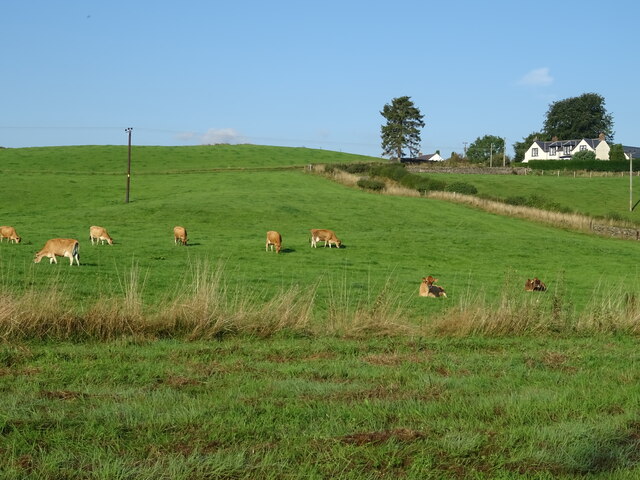
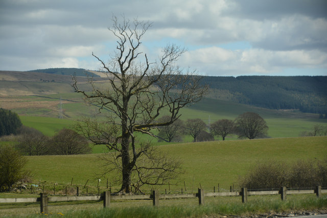
Bank Wood is a beautiful and expansive forest located in Dumfriesshire, Scotland. Covering an area of approximately 100 hectares, the wood is made up of a variety of tree species including oak, beech, and birch. The forest is a popular destination for nature lovers, hikers, and wildlife enthusiasts due to its diverse flora and fauna.

Visitors to Bank Wood can enjoy a network of well-maintained trails that wind through the forest, offering opportunities to explore and admire the natural beauty of the area. The forest is also home to a wide range of wildlife, including deer, squirrels, and a variety of bird species.

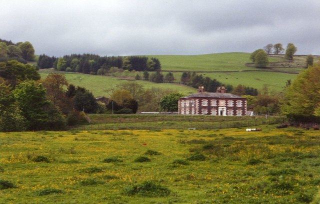
In addition to its natural beauty, Bank Wood also has a rich history, with evidence of ancient settlements and archaeological sites scattered throughout the forest. The wood is a designated Site of Special Scientific Interest (SSSI), highlighting its importance for conservation and biodiversity.

Overall, Bank Wood is a peaceful and picturesque destination that offers visitors the chance to immerse themselves in nature and explore the rich history of Dumfriesshire.

If you have any feedback on the listing, please let us know in the comments section below.
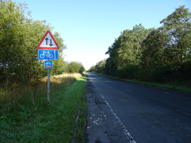
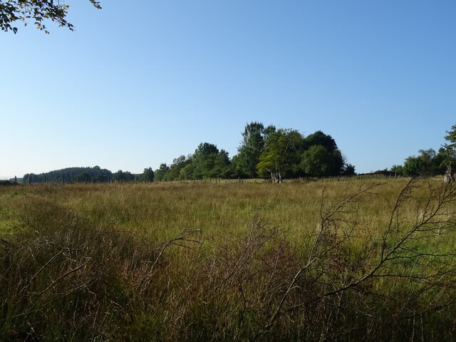
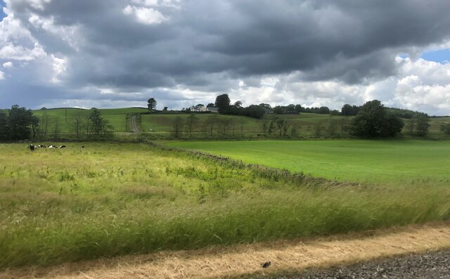
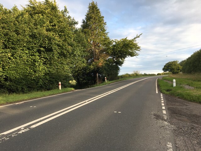
Bank Wood Images

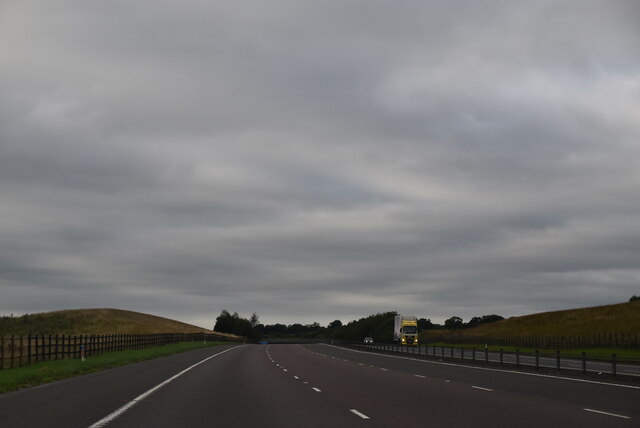
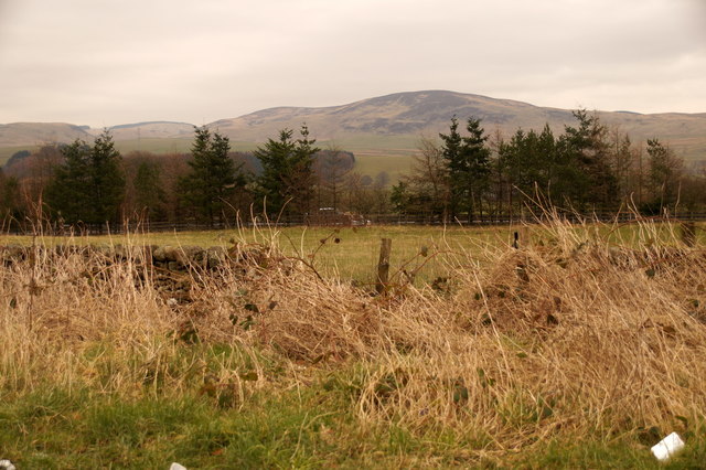
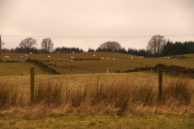
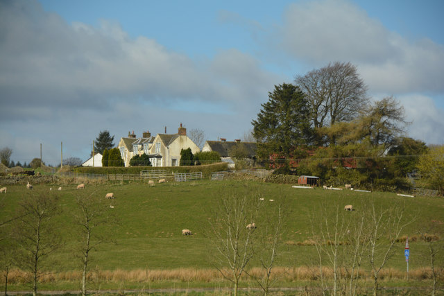
Images are sourced within 2km of 55.285783/-3.4192157 or Grid Reference NY0999. Thanks to Geograph Open Source API. All images are credited.

Cattle grazing, Newfarm
National Cycle Route 74 towards Beattock B7076 heading north.
National Cycle Route 74 towards Beattock
B7076 heading north.
B7076, Newfarm Towards Beattock.
B7076, Newfarm
Towards Beattock.
Hillside grazing, Mid Murthat
National Cycle Route 74 towards Beattock On the B7076.
National Cycle Route 74 towards Beattock
On the B7076.
Grassland, Buck Rigg
Newfarm on Blackrig Hill Under an ominous sky
Newfarm on Blackrig Hill
Under an ominous sky
A701 towards Dumfries
A74(M), southbound The A74(M) & M74  run over 80 miles from the M6 at the Scottish border near Gretna to the M8 at Glasgow. This is one of the two most important routeways into Scotland from the south. The last stretch of the M74 opened in 2011 (see <a title="https://www.geograph.org.uk/snippet/590" href="https://www.geograph.org.uk/snippet/590">Link</a> ).
Wikipedia: <span class="nowrap"><a title="http://en.wikipedia.org/wiki/A74(M)_and_M74_motorways" rel="nofollow ugc noopener" href="http://en.wikipedia.org/wiki/A74(M)_and_M74_motorways">Link</a><img style="margin-left:2px;" alt="External link" title="External link - shift click to open in new window" src="https://s1.geograph.org.uk/img/external.png" width="10" height="10"/></span>
A74(M), southbound
The A74(M) & M74 run over 80 miles from the M6 at the Scottish border near Gretna to the M8 at Glasgow. This is one of the two most important routeways into Scotland from the south. The last stretch of the M74 opened in 2011 (see Link ). Wikipedia: LinkExternal link
Gas Distribution Station at Beattock An aerial view. In front are the Beattock-Dumfries [A701] and Beattock-Lochmaben [B7020] roads. Beyond are the A74(M) and B7076 running parallel.
Gas Distribution Station at Beattock
An aerial view. In front are the Beattock-Dumfries [A701] and Beattock-Lochmaben [B7020] roads. Beyond are the A74(M) and B7076 running parallel.
Fields south of Beattock Looking across the A74(M) towards Craig Hill.
Fields south of Beattock
Looking across the A74(M) towards Craig Hill.
Fields south of Beattock
Dumfries and Galloway : Grassy Field A grassy field and Newfarm seen in Dumfries and Galloway.
Dumfries and Galloway : Grassy Field
A grassy field and Newfarm seen in Dumfries and Galloway.
Dumfries and Galloway : The A74(M) Motorway Heading along the A74(M) through Dumfries and Galloway.
Dumfries and Galloway : The A74(M) Motorway
Heading along the A74(M) through Dumfries and Galloway.
Dumfries And Galloway : Countryside Scenery Looking out across the grassy countryside.
Dumfries And Galloway : Countryside Scenery
Looking out across the grassy countryside.
Dumfries And Galloway : The A74(M) Looking along the A74(M).
Dumfries And Galloway : The A74(M)
Looking along the A74(M).
Dumfries And Galloway : The A74(M) Looking along the A74(M) motorway.
Dumfries And Galloway : The A74(M)
Looking along the A74(M) motorway.
Dumfries And Galloway : The A74(M) Looking along the A74(M) motorway.
Dumfries And Galloway : The A74(M)
Looking along the A74(M) motorway.
Show me another place!

Bank Wood is located at Grid Ref: NY0999 (Lat: 55.285783, Lng: -3.4192157)

Unitary Authority: Dumfries and Galloway

Police Authority: Dumfries and Galloway

What 3 Words

///newlyweds.petition.straddled. Near Beattock, Dumfries & Galloway

Related Wikis

Kirkpatrick-Juxta

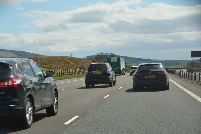
Kirkpatrick-Juxta is a parish in Dumfries and Galloway on the A701, between Biggar, Moffat and Lockerbie. The parish straddles the main road A74 (M). It...

Beattock railway station

Beattock railway station was a station which served the village of Beattock, in the parish of Kirkpatrick-Juxta in the Scottish county of Dumfries and...

Beattock

Beattock is a village in Dumfries and Galloway, Scotland, approximately 1⁄2 mile (800 metres) southwest of Moffat and 19 miles (31 kilometres) north of...

Lochwood Tower

Lochwood Tower, also known as Lochwood Castle, is a ruined 16th-century L-plan tower house situated in Annandale (Valley of the River Annan) about 6 miles...

Nearby Amenities

Located within 500m of 55.285783,-3.4192157
Power: pole
Lat/Long: 55.2873153/-3.4123895
Power: pole
Lat/Long: 55.2865592/-3.4144011
Power: pole
Lat/Long: 55.2859986/-3.4158576
Power: pole
Lat/Long: 55.2855022/-3.4172013
Power: pole
Lat/Long: 55.288861/-3.4202886
Power: pole
Lat/Long: 55.2881233/-3.4196341
Power: pole
Lat/Long: 55.2873367/-3.4189931
Power: pole
Lat/Long: 55.2868128/-3.4200472
Power: pole
Lat/Long: 55.2859437/-3.4214902
Power: pole
Lat/Long: 55.285183/-3.422834
Power: pole
Lat/Long: 55.2846865/-3.4237272
Power: pole
Lat/Long: 55.2896225/-3.4232676
Power: pole
Lat/Long: 55.2899378/-3.4222218
Power: pole
Lat/Long: 55.2825884/-3.4225541
Power: pole
Lat/Long: 55.2832486/-3.4229096
Power: pole
Lat/Long: 55.2838824/-3.423265
Power: pole
Lat/Long: 55.2851675/-3.4246355
Power: pole
Lat/Long: 55.2859582/-3.425197
Power: pole
Lat/Long: 55.2867577/-3.4257483
Power: pole
Lat/Long: 55.2875249/-3.4262712
Power: pole
Lat/Long: 55.2868838/-3.4185845
Power: pole
Lat/Long: 55.2863499/-3.418126
Power: pole
Lat/Long: 55.28592/-3.4176392
Power: pole
Lat/Long: 55.2848257/-3.4164619
Power: pole
Lat/Long: 55.2841626/-3.4157432
Power: pole
Lat/Long: 55.2835068/-3.4150271
Power: pole
Lat/Long: 55.2828393/-3.4142956
The data included in this document is from www.openstreetmap.org. The data is made available under ODbL.

Have you been to Bank Wood?

Leave your review of Bank Wood below (or comments, questions and feedback).