Cleuchheads Shaw
Wood, Forest in Dumfriesshire
Scotland
Cleuchheads Shaw
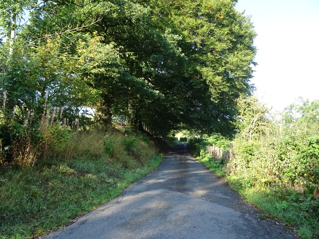
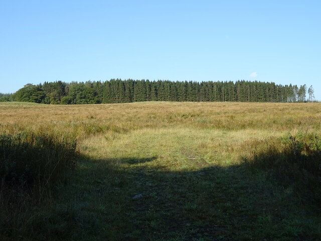
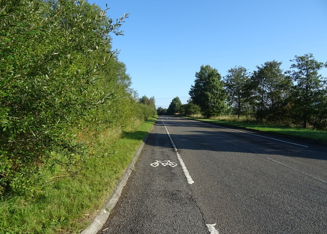
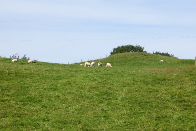
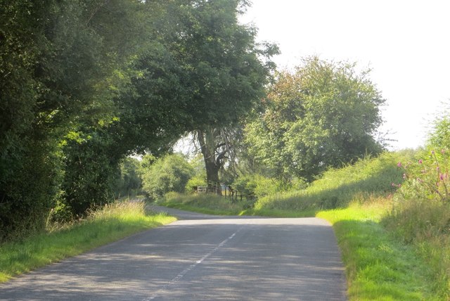
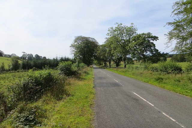
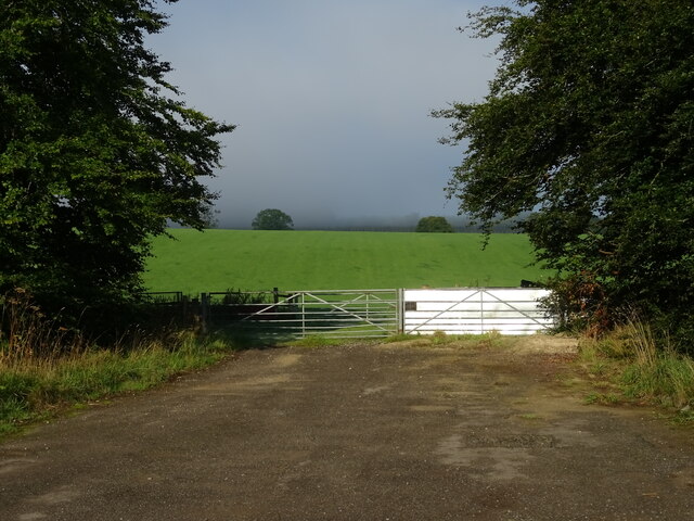
Cleuchheads Shaw is a woodland located in Dumfriesshire, Scotland. Situated in the southern part of the country, this forest boasts an area of approximately 200 acres. It is a part of the larger Cleuchheads Estate, which covers a vast expanse of land.
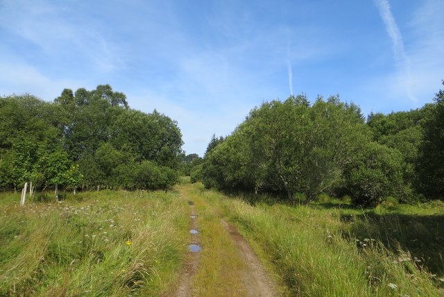
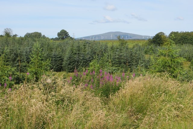
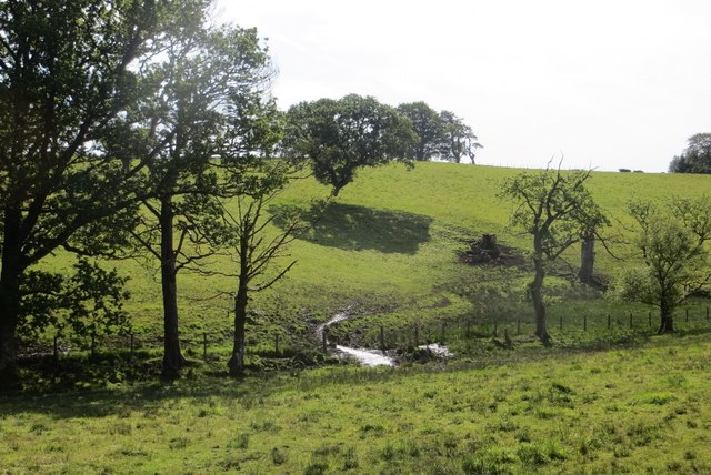
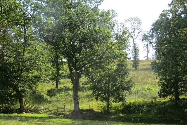
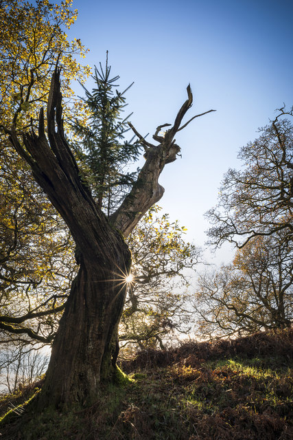
This woodland is characterized by its diverse and vibrant ecosystem. The forest is primarily composed of native tree species, including oak, birch, and rowan. The rich and fertile soil supports a wide variety of understory plants, such as bluebells, wild garlic, and wood sorrel, creating a colorful and enchanting landscape.
Cleuchheads Shaw is home to a diverse range of wildlife. The forest provides a habitat for numerous bird species, including woodpeckers, owls, and various songbirds. Mammals such as red squirrels, badgers, and roe deer can also be spotted within the woodland. The lush vegetation and clean water sources attract a variety of insects, making it a haven for butterflies and dragonflies.
The forest is open to the public, offering opportunities for outdoor activities such as walking, hiking, and birdwatching. It is a popular destination for nature enthusiasts and photographers, who are captivated by the tranquil atmosphere and picturesque scenery.
Cleuchheads Shaw holds ecological importance as it contributes to the overall biodiversity of the region. It also plays a vital role in carbon sequestration and maintaining healthy soil quality. The forest is managed sustainably, ensuring the preservation of its natural beauty and wildlife for future generations to enjoy.
If you have any feedback on the listing, please let us know in the comments section below.
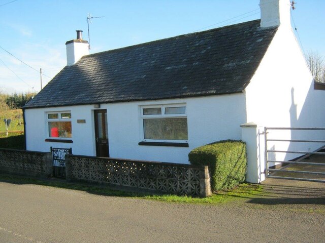
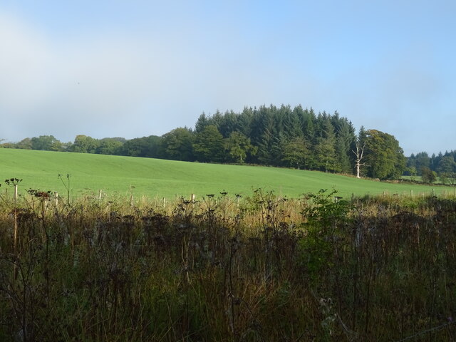
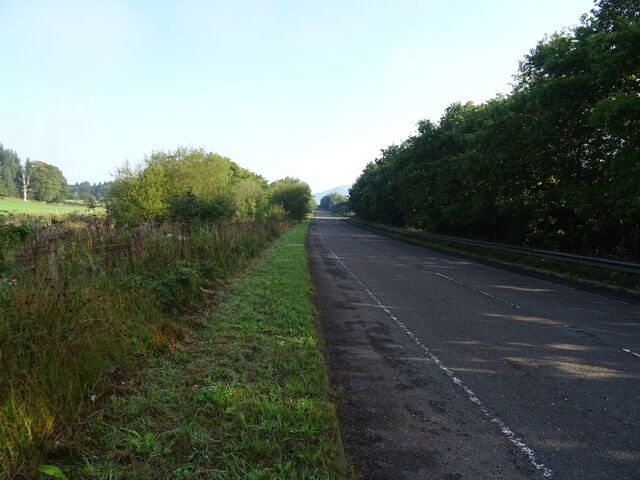
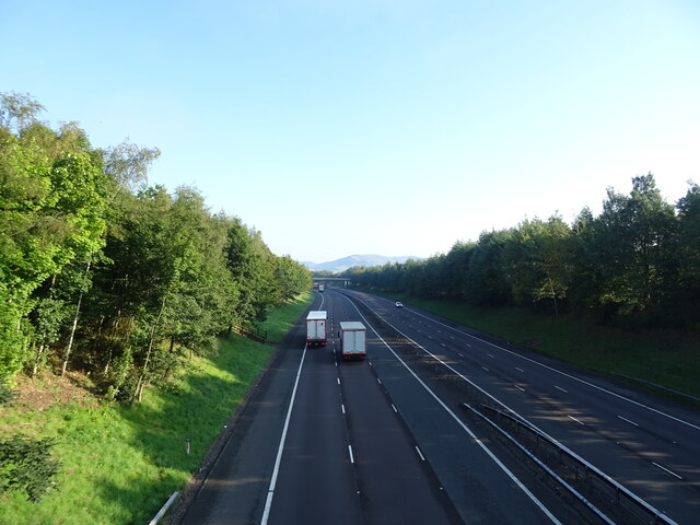
Cleuchheads Shaw Images
Images are sourced within 2km of 55.249125/-3.4186011 or Grid Reference NY0995. Thanks to Geograph Open Source API. All images are credited.

Cleuchheads Shaw is located at Grid Ref: NY0995 (Lat: 55.249125, Lng: -3.4186011)
Unitary Authority: Dumfries and Galloway
Police Authority: Dumfries and Galloway
What 3 Words
///last.paddle.carpentry. Near Johnstonebridge, Dumfries & Galloway
Nearby Locations
Related Wikis

Wamphray railway station
Wamphray railway station served Newton Wamphray, near Beattock, in the Scottish county of Dumfries and Galloway. It was served by local trains on what...

Lochwood Tower
Lochwood Tower, also known as Lochwood Castle, is a ruined 16th-century L-plan tower house situated in Annandale (Valley of the River Annan) about 6 miles...

Newton Wamphray
Newton Wamphray is a village in Dumfries and Galloway. Wamphray is the name of the surrounding parish and of the Wamphray Water, which flows south-west...

Annandale Water services
Annandale Water services is a motorway service station in the village of Johnstonebridge, Scotland. The service station is located next to the A74(M) motorway...

Annandale Water
Annandale Water is a loch in Annandale, Dumfries and Galloway, in the south west of Scotland. It is part of Annandale Water service station at Junction...

Johnstonebridge
Johnstonebridge is a village in Dumfries and Galloway, Scotland.It is roughly halfway between Moffat and Lockerbie, and lies on the A74(M) motorway. The...

Kirkpatrick-Juxta
Kirkpatrick-Juxta is a parish in Dumfries and Galloway on the A701, between Biggar, Moffat and Lockerbie. The parish straddles the main road A74 (M). It...

Dinwoodie railway station
Dinwoodie railway station was a station which served the rural area around the settlement of Dinwoodie, 6 miles north of Lockerbie in Applegarth parish...
Nearby Amenities
Located within 500m of 55.249125,-3.4186011Have you been to Cleuchheads Shaw?
Leave your review of Cleuchheads Shaw below (or comments, questions and feedback).