Tippet's Belt

Wood, Forest in Dumfriesshire

Scotland

Tippet's Belt

Houses beside the B7076, Johnstonebridge
Houses beside the B7076, Johnstonebridge Credit: JThomas

The requested URL returned error: 429 Too Many Requests

If you have any feedback on the listing, please let us know in the comments section below.

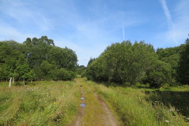
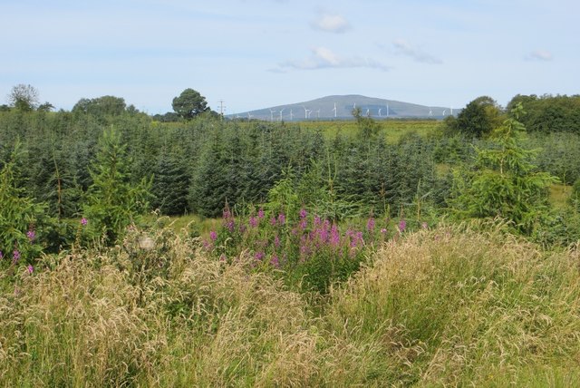
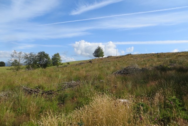
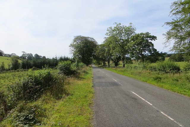
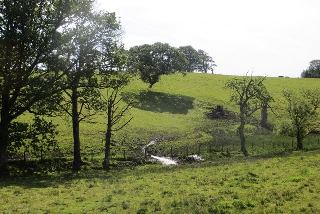
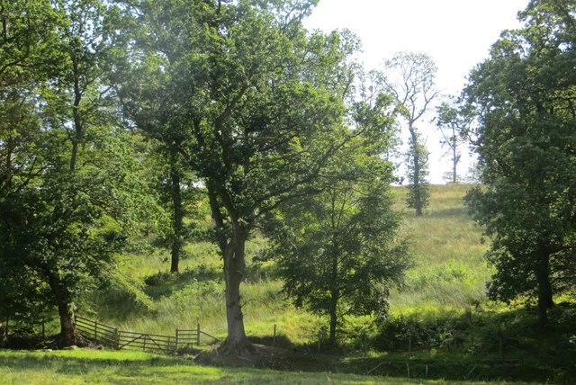
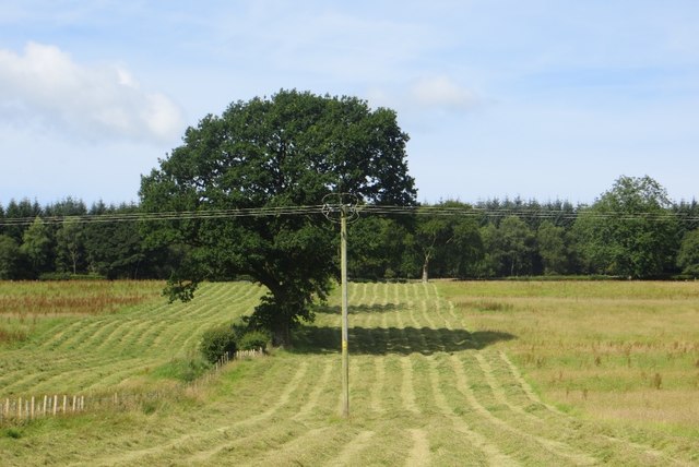
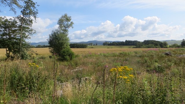
Tippet's Belt Images

Images are sourced within 2km of 55.232243/-3.4205002 or Grid Reference NY0994. Thanks to Geograph Open Source API. All images are credited.

Houses beside the B7076, Johnstonebridge
Houses on Kirkhill, Johnstonebridge
Minor road near to Dykehead Looking south-westward.
Minor road near to Dykehead
Looking south-westward.
Track through strip of woodland giving access to fields Looking southward.
Track through strip of woodland giving access to fields
Looking southward.
Woodland track giving access to fields near Beastocking Looking northward.
Woodland track giving access to fields near Beastocking
Looking northward.
Woodland, Lockwood A track through the long thin wood beside the B7020 in Annandale.
Woodland, Lockwood
A track through the long thin wood beside the B7020 in Annandale.
Woodland, Lockwood A view towards Queensberry.
Woodland, Lockwood
A view towards Queensberry.
Felled woodland A wide strip of woodland near Cleuchheads, Annandale.
Felled woodland
A wide strip of woodland near Cleuchheads, Annandale.
B7020, Lockwood A long straight road, aligned with the long hills on either side.
B7020, Lockwood
A long straight road, aligned with the long hills on either side.
Field, Lockwood The landscape here is one of long parallel hills, aligned north to south. There is a gap in the woodlands which normally accompany the B7020.
Field, Lockwood
The landscape here is one of long parallel hills, aligned north to south. There is a gap in the woodlands which normally accompany the B7020.
Woodland, Beastock Rig Scattered oaks, probably left after felling other trees.
Woodland, Beastock Rig
Scattered oaks, probably left after felling other trees.
Mown grass Silage or hay making under Hazelbank Plantation, Annandale.
Mown grass
Silage or hay making under Hazelbank Plantation, Annandale.
Field, Linhead Annandale grassland.
Field, Linhead
Annandale grassland.
Felled woodland Felled plantation beside the B7020.
Felled woodland
Felled plantation beside the B7020.
B7020, Kilnpot Wood
B7020, Kilnpot Wood
Annandale Way at Hazelbank Plantation A junction on the forest track.
Annandale Way at Hazelbank Plantation
A junction on the forest track.
Annandale Way at Hazelbank Plantation The route passes between mature trees at this point.
Annandale Way at Hazelbank Plantation
The route passes between mature trees at this point.
Hotel and car park, Annandale Services Southbound, A74(M) The A74(M) & M74  run over 80 miles from the M6 at the Scottish border near Gretna to the M8 at Glasgow. This is one of the two most important routeways into Scotland from the south. The last stretch of the M74 opened in 2011 (see <a title="https://www.geograph.org.uk/snippet/590" href="https://www.geograph.org.uk/snippet/590">Link</a> ).
Wikipedia: <span class="nowrap"><a title="http://en.wikipedia.org/wiki/A74(M)_and_M74_motorways" rel="nofollow ugc noopener" href="http://en.wikipedia.org/wiki/A74(M)_and_M74_motorways">Link</a><img style="margin-left:2px;" alt="External link" title="External link - shift click to open in new window" src="https://s1.geograph.org.uk/img/external.png" width="10" height="10"/></span>
Hotel and car park, Annandale Services Southbound, A74(M)
The A74(M) & M74 run over 80 miles from the M6 at the Scottish border near Gretna to the M8 at Glasgow. This is one of the two most important routeways into Scotland from the south. The last stretch of the M74 opened in 2011 (see Link ). Wikipedia: LinkExternal link
Show me another place!

Tippet's Belt is located at Grid Ref: NY0994 (Lat: 55.232243, Lng: -3.4205002)

Unitary Authority: Dumfries and Galloway

Police Authority: Dumfries and Galloway

What 3 Words

///alley.speakers.performed. Near Johnstonebridge, Dumfries & Galloway

Related Wikis

Annandale Water services

Annandale Water services is a motorway service station in the village of Johnstonebridge, Scotland. The service station is located next to the A74(M) motorway...

Annandale Water

Annandale Water is a loch in Annandale, Dumfries and Galloway, in the south west of Scotland. It is part of Annandale Water service station at Junction...

Newton Wamphray

Newton Wamphray is a village in Dumfries and Galloway. Wamphray is the name of the surrounding parish and of the Wamphray Water, which flows south-west...

Wamphray railway station

Wamphray railway station served Newton Wamphray, near Beattock, in the Scottish county of Dumfries and Galloway. It was served by local trains on what...

Have you been to Tippet's Belt?

Leave your review of Tippet's Belt below (or comments, questions and feedback).