Pirliemuir Wood
Wood, Forest in Kinross-shire
Scotland
Pirliemuir Wood
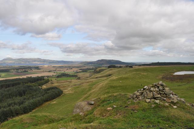
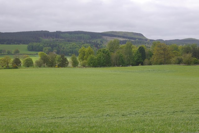
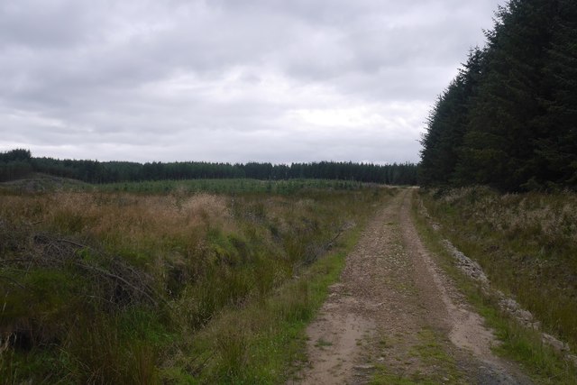
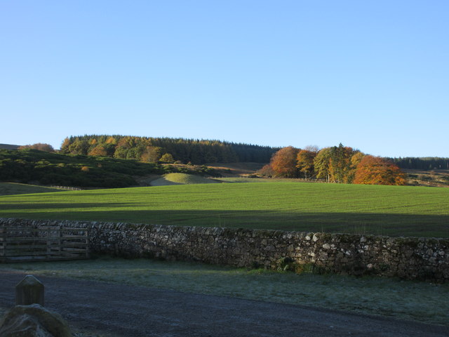
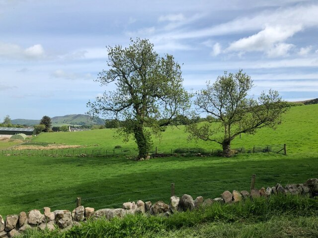
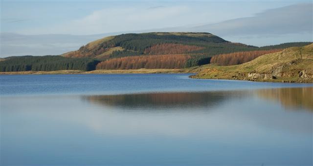
Pirliemuir Wood, located in Kinross-shire, Scotland, is a beautiful and enchanting forest that spans over a vast area. With its diverse range of flora and fauna, it offers a haven for nature enthusiasts and hikers alike.
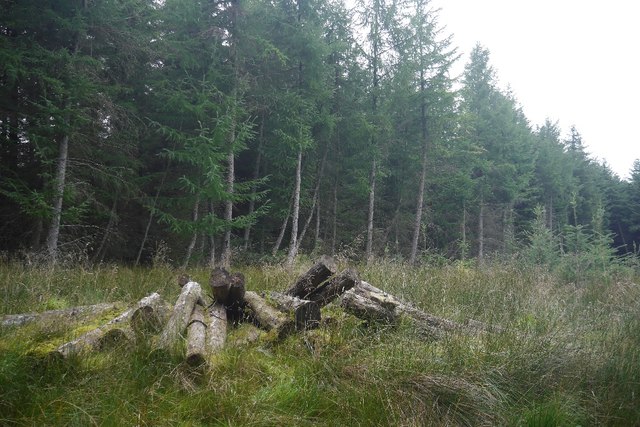
The wood boasts a mixture of both deciduous and coniferous trees, creating a rich tapestry of colors and textures throughout the seasons. Oak, birch, and beech trees dominate the landscape, interspersed with Scots pine and spruce. This variety of trees provides a habitat for numerous bird species, such as woodpeckers, owls, and finches, making it a paradise for birdwatchers.
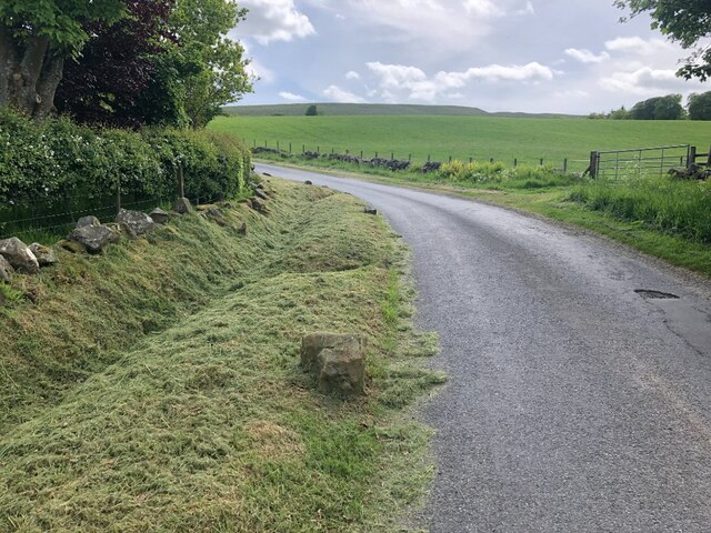
Traversing the wood, visitors can expect to encounter a network of well-maintained footpaths, allowing them to explore its hidden corners and discover its hidden gems. The paths meander through the woodland, passing by babbling brooks, small waterfalls, and picturesque ponds, adding to the serenity and tranquility of the environment.
Pirliemuir Wood is home to a diverse range of wildlife. Roe deer, foxes, and badgers can often be spotted among the trees, while red squirrels scurry about in search of food. The wood also supports a variety of plant species, including bluebells, wild garlic, and ferns, which add to its natural beauty.
Whether it's a leisurely stroll, a family picnic, or a more challenging hike, Pirliemuir Wood offers something for everyone. Its idyllic setting, coupled with its rich biodiversity, makes it a must-visit destination for those seeking to immerse themselves in nature's wonders.
If you have any feedback on the listing, please let us know in the comments section below.
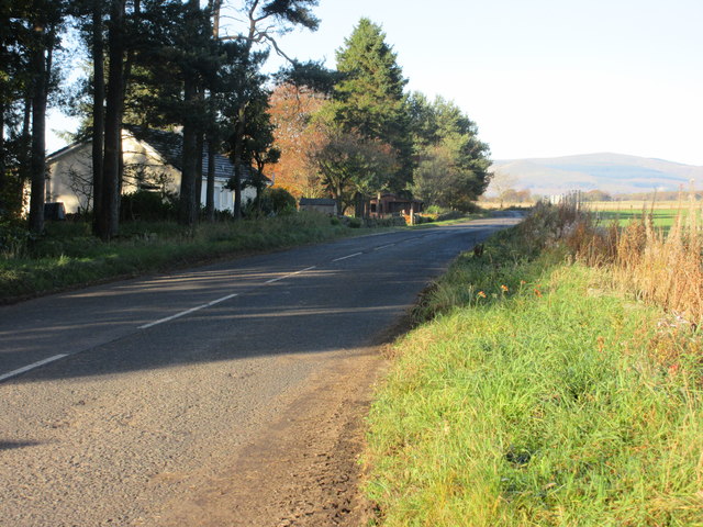
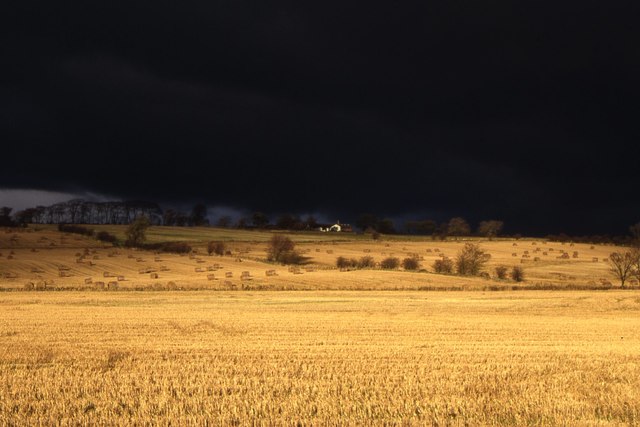
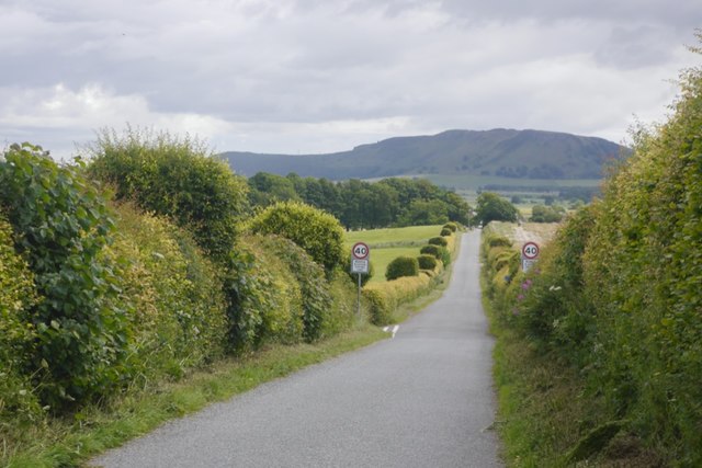
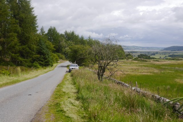
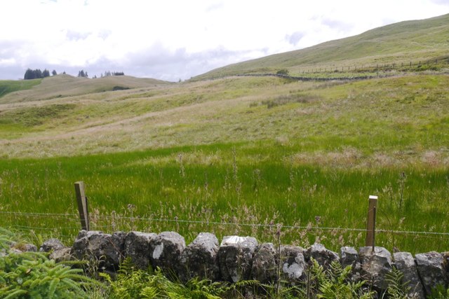
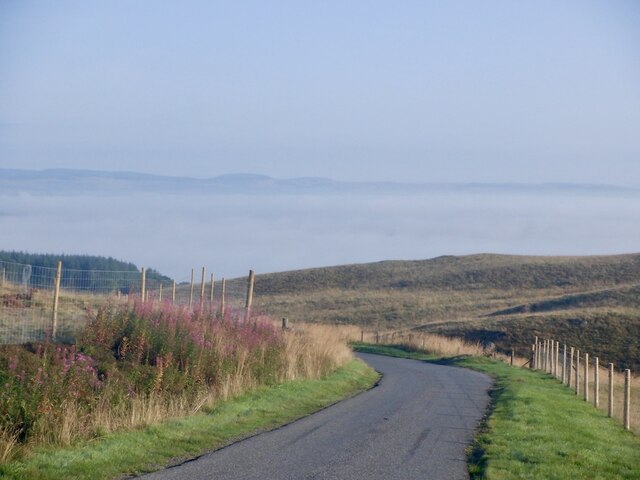
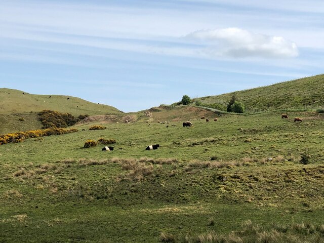
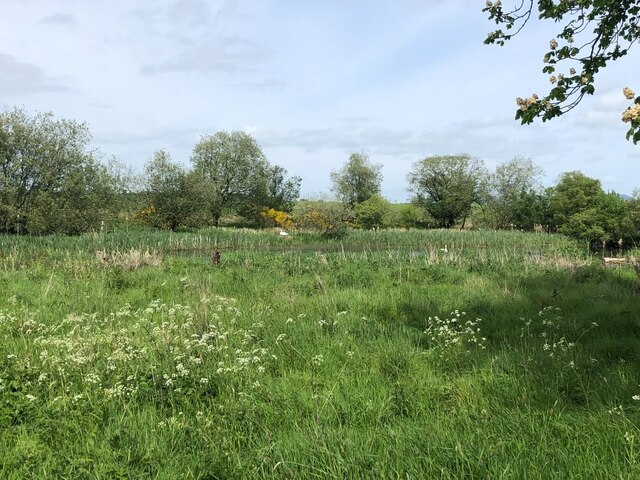
Pirliemuir Wood Images
Images are sourced within 2km of 56.171654/-3.4551128 or Grid Reference NT0998. Thanks to Geograph Open Source API. All images are credited.
Pirliemuir Wood is located at Grid Ref: NT0998 (Lat: 56.171654, Lng: -3.4551128)
Unitary Authority: Perth and Kinross
Police Authority: Tayside
What 3 Words
///tearfully.shares.awkward. Near Kinross, Perth & Kinross
Nearby Locations
Related Wikis
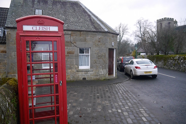
Cleish
Cleish is a rural hamlet off the B9097 between Crook of Devon and the M90 motorway, three miles south-west of Kinross in central Scotland. It lies in the...

Cleish Castle
Cleish Castle is a 16th-century tower house in Kinross-shire, Scotland. It is sited 5 kilometres (3.1 mi) south-west of Kinross and 1 kilometre (0.62 mi...

Dowhill Castle
Dowhill Castle is a ruined castle in Perth and Kinross, Scotland. Sited on a hill near Loch Leven, the oldest part of the castle was built in around 1500...
Dumglow
Dumglow (379 m) is the highest peak of the Cleish Hills in Perth and Kinross, Scotland. It is located north of Dunfermline. An ancient fort lies on its...
Nearby Amenities
Located within 500m of 56.171654,-3.4551128Have you been to Pirliemuir Wood?
Leave your review of Pirliemuir Wood below (or comments, questions and feedback).