Locket Gate Wood

Wood, Forest in Peeblesshire

Scotland

Locket Gate Wood

Waymarks on a gatepost, Medwynhead Waymarks from Friends of the Pentlands and Scotways on the track to Slipperfield and West Linton.
Waymarks on a gatepost, Medwynhead Credit: Jim Barton

The requested URL returned error: 429 Too Many Requests

If you have any feedback on the listing, please let us know in the comments section below.

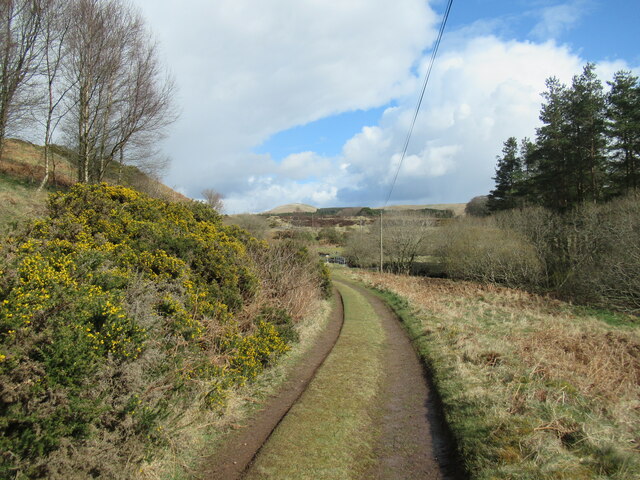
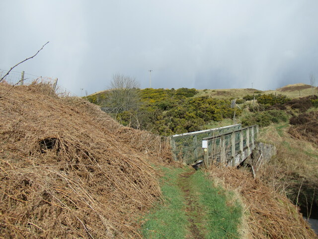
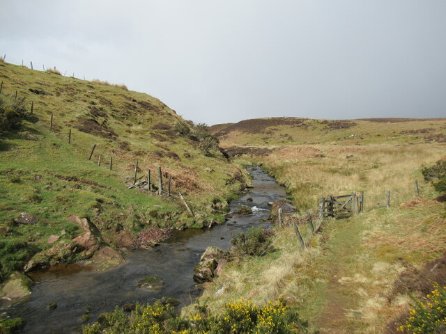
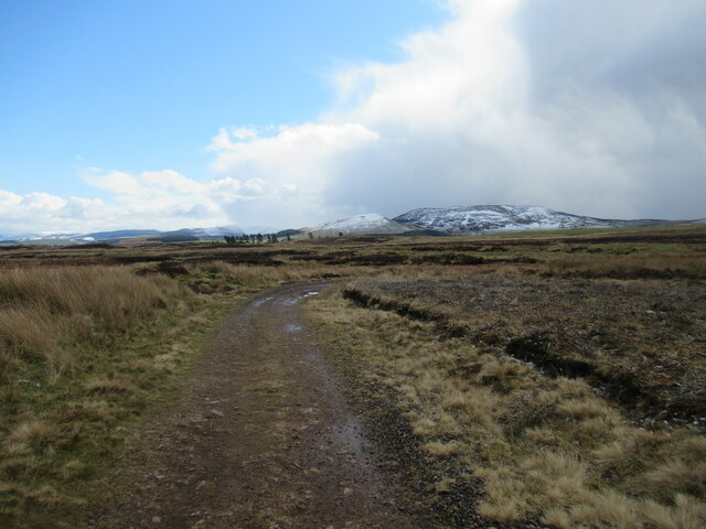
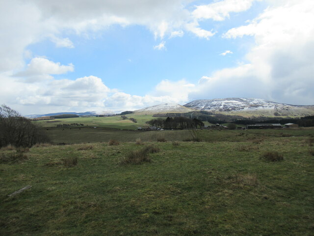
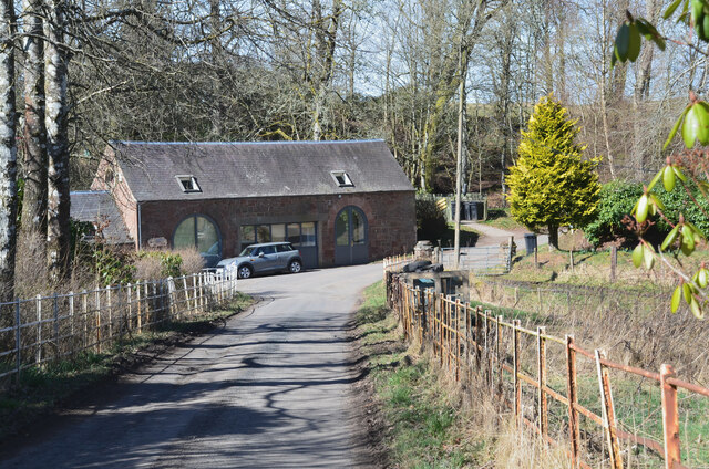
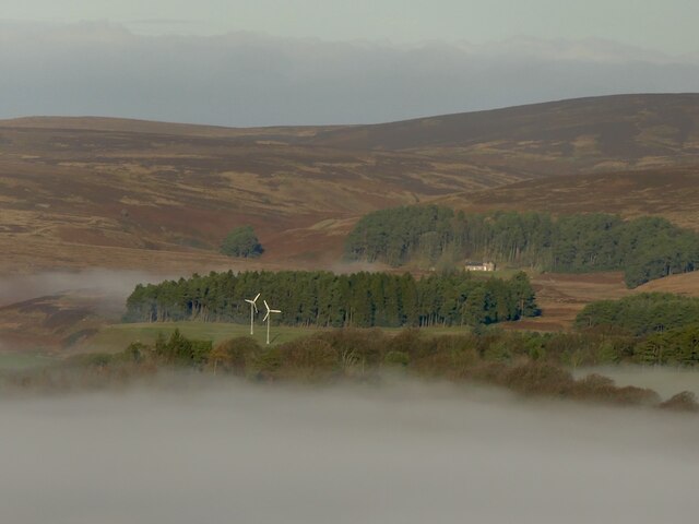
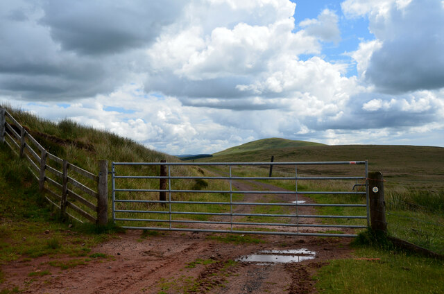
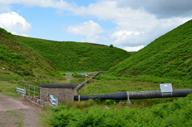
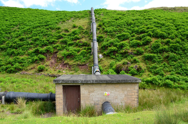
Locket Gate Wood Images

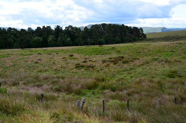
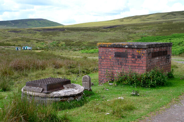
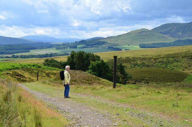
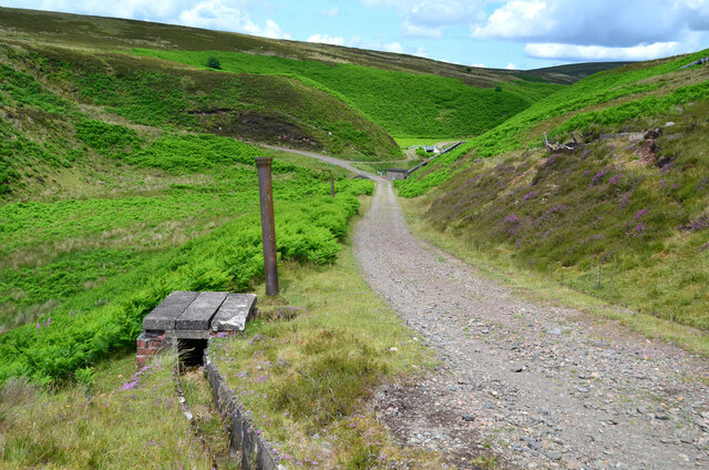
Images are sourced within 2km of 55.737/-3.4414745 or Grid Reference NT0950. Thanks to Geograph Open Source API. All images are credited.

Waymarks on a gatepost, Medwynhead Waymarks from Friends of the Pentlands and Scotways on the track to Slipperfield and West Linton.
Waymarks on a gatepost, Medwynhead
Waymarks from Friends of the Pentlands and Scotways on the track to Slipperfield and West Linton.
Track and pipeline, Medwynhead At this point the pipeline goes underground after rising up the bank from the Medwin Water. The track is access to a dam NE of Bleak Law.
Track and pipeline, Medwynhead
At this point the pipeline goes underground after rising up the bank from the Medwin Water. The track is access to a dam NE of Bleak Law.
Gates and cattle grid, Medwynhead On the track to Slipperfield and West Linton.
Gates and cattle grid, Medwynhead
On the track to Slipperfield and West Linton.
Ford near Medwynhead A ford on the waterworks track between Medwynhead and West Linton.
Ford near Medwynhead
A ford on the waterworks track between Medwynhead and West Linton.
Track between Dunsyre and Garvald A good, firm track – at this point anyway.
Track between Dunsyre and Garvald
A good, firm track – at this point anyway.
Footbridge over the West Water A bridge carrying an old right of way on to the moors at the western end of the Pentland Hills.
Footbridge over the West Water
A bridge carrying an old right of way on to the moors at the western end of the Pentland Hills.
Path by the West Water An old right of way on to the moors at the western end of the Pentland Hills.
Path by the West Water
An old right of way on to the moors at the western end of the Pentland Hills.
Track across moorland above Easton A cold spell has replaced the previous week's warm spring weather and some snow and hail showers were rattling through, whitening the hillsides.
Track across moorland above Easton
A cold spell has replaced the previous week's warm spring weather and some snow and hail showers were rattling through, whitening the hillsides.
Farm buildings at Easton, with the Black Mount behind A cold spell has replaced the previous week's warm spring weather and some snow and hail showers were rattling through, whitening the hillsides.
Farm buildings at Easton, with the Black Mount behind
A cold spell has replaced the previous week's warm spring weather and some snow and hail showers were rattling through, whitening the hillsides.
Road at Garvald The road from Dolphinton approaching the home farm at Garvald.
Road at Garvald
The road from Dolphinton approaching the home farm at Garvald.
Medwynhead and inversion conditions View from Shaw Hill into the Pentland Hills. Garvald is still under the fog.
Medwynhead and inversion conditions
View from Shaw Hill into the Pentland Hills. Garvald is still under the fog.
Road near Medwynhead The waterworks road from Slipperfield with Mendick Hill ahead.
Road near Medwynhead
The waterworks road from Slipperfield with Mendick Hill ahead.
Trees at Medwynhead On the moorland, seen from the waterworks road.
Trees at Medwynhead
On the moorland, seen from the waterworks road.
Brick structure for water pipeline Possibly a ventilator and a manhole on the route of the pipeline to West Water Reservoir.
Brick structure for water pipeline
Possibly a ventilator and a manhole on the route of the pipeline to West Water Reservoir.
Descending to the Medwin Water The waterworks road makes a hairpin descent to cross the Medwin Water, where two pipelines meet. The grassy hill R of centre is White Hill with Black Mount beyond. The vertical posts are old iron pipes used to mark the course of the road from Slipperfield.
Descending to the Medwin Water
The waterworks road makes a hairpin descent to cross the Medwin Water, where two pipelines meet. The grassy hill R of centre is White Hill with Black Mount beyond. The vertical posts are old iron pipes used to mark the course of the road from Slipperfield.
Waterworks road at the Medwin Water The road crosses the Medwin Water, where a pipeline captures water from a dam upstream to connect with the West Water Reservoir. Note the concrete-lined gutter to protect the road edges - see also <a href="https://www.geograph.org.uk/photo/1011753">NT1051 : Catch drains by the water board track</a> by Gordon Brown.
Waterworks road at the Medwin Water
The road crosses the Medwin Water, where a pipeline captures water from a dam upstream to connect with the West Water Reservoir. Note the concrete-lined gutter to protect the road edges - see also NT1051 : Catch drains by the water board track by Gordon Brown.
Pipelines at the Medwin Water The pipeline collects water from the dam upstream (shown in <a href="https://www.geograph.org.uk/photo/174099">NT0853 : Dam</a> by Callum Black), is joined in the small building by another pipe from the west, to rise up the hillside and continue towards West Water Reservoir.
Pipelines at the Medwin Water
The pipeline collects water from the dam upstream (shown in NT0853 : Dam by Callum Black), is joined in the small building by another pipe from the west, to rise up the hillside and continue towards West Water Reservoir.
Pipelines at the Medwin Water (2) The left-hand pipeline brings water from a dam upstream and is joined in the small building by another pipe from the west, to rise up the hillside and continue towards West Water Reservoir.
Pipelines at the Medwin Water (2)
The left-hand pipeline brings water from a dam upstream and is joined in the small building by another pipe from the west, to rise up the hillside and continue towards West Water Reservoir.
Show me another place!

Locket Gate Wood is located at Grid Ref: NT0950 (Lat: 55.737, Lng: -3.4414745)

Unitary Authority: The Scottish Borders

Police Authority: The Lothians and Scottish Borders

What 3 Words

///prune.hound.nuns. Near West Linton, Scottish Borders

Nearby Locations

Locket Gate Wood Fold Wood

Related Wikis

Garvald, South Lanarkshire

Garvald is a small settlement on the boundary between the Scottish Borders and South Lanarkshire, Scotland. == References == The geographic coordinates...

Dolphinton (CR) railway station

Dolphinton railway station served the village of Dolphinton, Lanarkshire, Scotland, from 1867 to 1945 on the Dolphinton branch. == History == The station...

Dolphinton railway station

Dolphinton (North British Railway) railway station served the village of Dolphinton, Lanarkshire, Scotland from 1864 to 1933 on the Leadburn, Linton and...

West Water Reservoir

West Water Reservoir (sometimes Westwater Reservoir) is an artificial reservoir in the Pentland Hills, Scottish Borders, 3 kilometres (1.9 mi) west of...

Nearby Amenities

Located within 500m of 55.737,-3.4414745
Generator Method: wind_turbine
Generator Output Electricity: yes
Generator Source: wind
Generator Type: horizontal_axis
Power: generator
Lat/Long: 55.7343614/-3.4401056
Generator Method: wind_turbine
Generator Output Electricity: yes
Generator Source: wind
Generator Type: horizontal_axis
Power: generator
Lat/Long: 55.7347385/-3.4405457
The data included in this document is from www.openstreetmap.org. The data is made available under ODbL.

Have you been to Locket Gate Wood?

Leave your review of Locket Gate Wood below (or comments, questions and feedback).