Following the completion and opening of the Forth and Clyde Canal in 1790, it was not long before the idea arose of a canal to link Edinburgh to the west, and in particular to the coal mining areas in the west of Scotland, to enable coal to be supplied more cheaply to the capital. Other commodities suited for canal transport included building stone and lime.
It took another two decades, however, before a survey was undertaken of a route that would link the proposed canal to the Forth and Clyde Canal at Falkirk. The necessary Act of Parliament authorising construction was passed in 1817, and work started at the Edinburgh end, at Port Hopetoun, the following year.
The canal was designed by Hugh Baird
Link
and Thomas Telford
Link and
Link on behalf of the Edinburgh and Glasgow Union Canal Company, whose 384 shareholders included the Lord Provost of Edinburgh and a number of titled persons.
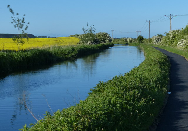
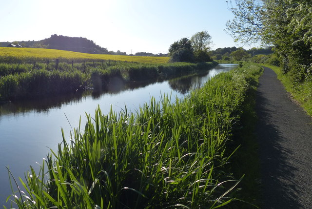
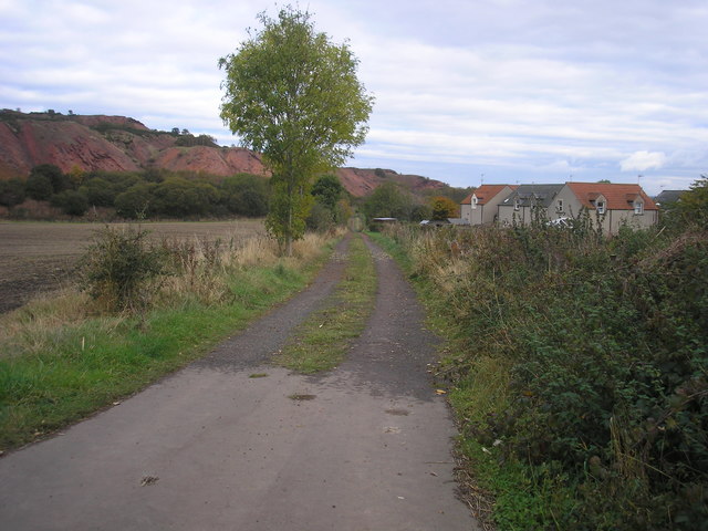
The canal was originally 32 miles in length and 5 feet deep, and it is a contour canal, that is, it follows the 241 foot (73 metre) contour, except for three river valleys where major aqueducts had to be built to carry the canal across at this height. These are the Slateford Aqueduct over the Water of Leith, the Almond Aqueduct 75 feet (23 metres) above the River Almond at Lin's Mill, and the longest of all at 810 feet (250 metres), the Avon Aqueduct, 86 feet (36 metres) above the River Avon near Linlithgow.
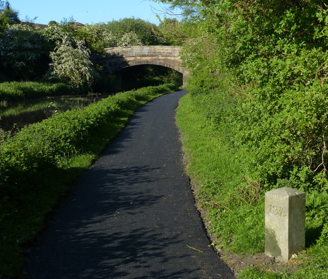
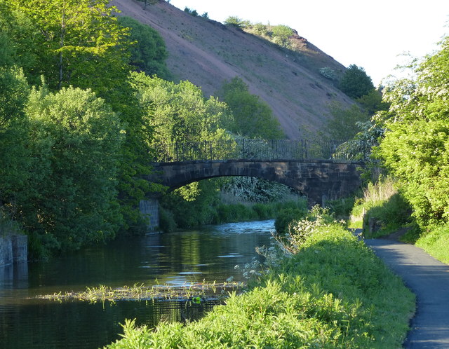
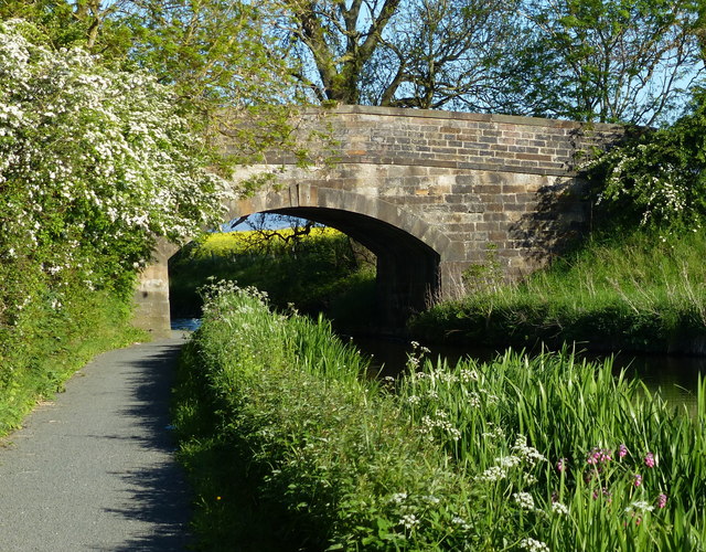
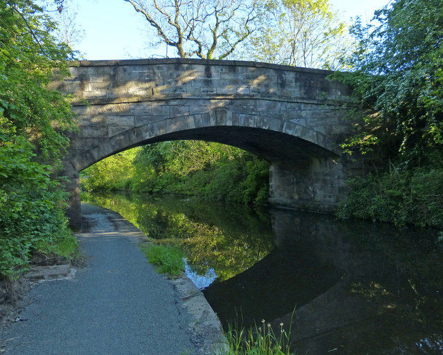
Most of the 60-odd bridges are fixed, so neither locks nor opening bridges delayed navigation most of the way, though the aqueducts were only wide enough for boats and barges to travel in one direction at a time; oncoming vessels had to wait until the way was clear.
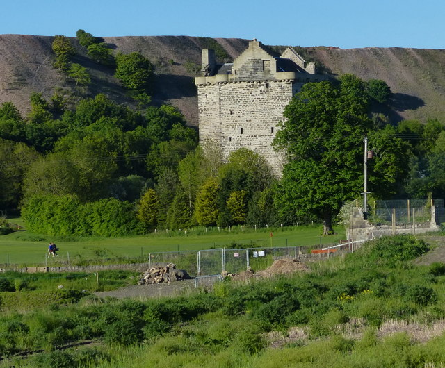
A tunnel 690 yards (636 metres) in length was required near Falkirk because the owner of Callendar House, William Forbes, refused to allow the canal to pass through his land, and this undertaking contributed to the final cost being almost double the original estimate of £240,500. The final bill of over £460,000 equates to anything between £2000 million and £380,000 million at 2014 prices, depending on how it is calculated.
The water level is maintained from a reservoir in the Pentland Hills, a three-mile channel from the River Almond, and other feeders.
At Falkirk the Union Canal was 110 feet (33 metres) above the level of the Forth and Clyde Canal, and a flight of eleven locks was built to link the two canals.
Construction took just four years, and the canal opened for traffic in 1822. Tolls were charged for the carriage of goods, and fares for passengers. There was also income from wharfage. Maximum charges were laid down in the enabling Act of Parliament. The Company was required to pay duties on goods carried to the Burgh of Linlithgow and the City of Edinburgh because the canal took trade away from the turnpike roads maintained by the respective councils.
Early trade was brisk, but unfortunately its heyday lasted only about 20 years, until the Edinburgh and Glasgow Railway superseded it in 1842, and in 1849 the canal was acquired by the railway company. Its use declined steadily over the years, and in the 1930s the flight of eleven locks at Falkirk was filled in and built on. Other stretches of the canal in Edinburgh were also built on, including the Edinburgh terminus. The City Bypass cut the route west of Edinburgh, and the M8 motorway blocked it near Broxburn. The canal was officially closed in 1965, though various stretches were used recreationally, for example for rowing and angling.
Towards the end of the 20th century there was a revival of interest in canals, mainly for recreational use, and the restoration of the Forth and Clyde Canal and the Union Canal was mooted. The project was adopted as one of the major undertakings to mark the millennium, and obtained funding from the European Union and the Millennium Commission among others. A new terminus with associated new retail, residential and commercial buildings was created in Edinburgh and a new stretch of canal dug to replace the section built on at Wester Hailes. The Scott Russell Aqueduct (named after John Scott Russell, who first observed a soliton wave on the canal in 1834) now carries the canal over the City Bypass, and a diversion was built to pass beneath the M8 motorway. The final piece of the restoration was the unique Falkirk Wheel, at the end of an extension to the original canal at Falkirk, which lifts and lowers boats between the Union Canal and the Forth and Clyde Canal.
The Millennium Link restoration cost some £84 million and the restored canal was opened in 2001. The Falkirk Wheel was opened by Her Majesty Queen Elizabeth the following year.