Tulloch Wood
Wood, Forest in Morayshire
Scotland
Tulloch Wood

Tulloch Wood, located in Morayshire, Scotland, is a captivating forest that offers visitors a unique and enchanting experience. Covering an area of approximately 150 acres, this woodland is nestled within the picturesque countryside and provides a haven for nature enthusiasts and outdoor adventurers alike.
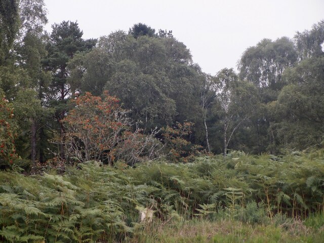
The wood is predominantly composed of native broadleaf trees such as oak, beech, and birch, which create a diverse and vibrant ecosystem. Walking through Tulloch Wood, visitors are greeted by a rich tapestry of colors, especially during autumn when the leaves transform into a kaleidoscope of reds, oranges, and yellows.
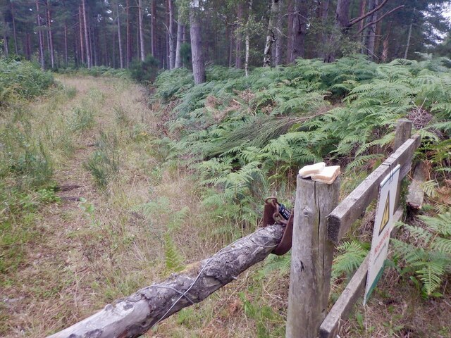
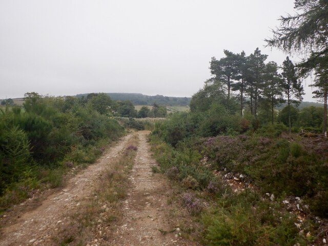
Traversing the numerous well-maintained trails, visitors can immerse themselves in the tranquil ambiance of the forest. The paths wind their way through the dense foliage, revealing hidden clearings, babbling brooks, and peaceful glades. Along the way, an array of wildlife can be spotted, including red squirrels, roe deer, and a variety of bird species.
For those seeking a more immersive experience, Tulloch Wood offers designated camping areas where visitors can spend the night under the canopy of trees. The woodland is also a popular destination for nature education programs, providing an opportunity for school groups and nature enthusiasts to learn about the local flora and fauna.
Tulloch Wood, with its natural beauty and diverse ecosystem, is a true gem in the heart of Morayshire. Whether strolling through the forest, camping under the stars, or simply enjoying the peace and serenity, visitors are sure to find solace and tranquility in this captivating woodland.
If you have any feedback on the listing, please let us know in the comments section below.
Tulloch Wood Images
Images are sourced within 2km of 57.583274/-3.5221677 or Grid Reference NJ0955. Thanks to Geograph Open Source API. All images are credited.


Tulloch Wood is located at Grid Ref: NJ0955 (Lat: 57.583274, Lng: -3.5221677)
Unitary Authority: Moray
Police Authority: North East
What 3 Words
///fights.positives.email. Near Kinloss, Moray
Nearby Locations
Related Wikis

Blervie Castle
Blervie Castle is a ruined 16th-century Z-plan tower house, about 2.5 miles (4.0 km) south-east of Forres, Moray, Scotland, and about 1 mile (1.6 km) north...

Rafford
Rafford (Scottish Gaelic: Ràthard) is a village in Moray, Scotland. It is approximately 2.5 miles (4 km) southeast of the town of Forres, and 5.5 miles...

Burgie Castle
Burgie Castle is a 17th-century Z-plan tower house, about 3.5 miles (5.6 km) east of Forres, Moray, Scotland, south-east of Burgie House. == History... ==
Rafford railway station
Rafford railway station at Rafford was opened with the Inverness and Perth Junction Railway in 1863. A full layout was provided (with a goods yard). The...
Have you been to Tulloch Wood?
Leave your review of Tulloch Wood below (or comments, questions and feedback).