Martinwhat Plantation
Wood, Forest in Dumfriesshire
Scotland
Martinwhat Plantation
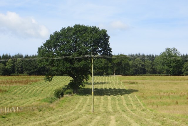
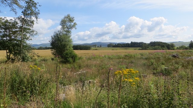
Martinwhat Plantation is a sprawling woodland located in Dumfriesshire, Scotland. The plantation spans over a vast area and is renowned for its scenic beauty and diverse range of tree species. Situated in the southern part of Dumfriesshire, Martinwhat Plantation is a popular destination for nature enthusiasts, hikers, and wildlife enthusiasts.
The plantation is predominantly made up of native trees such as Scots pine, oak, and birch, which thrive in the region's temperate climate. These trees not only provide a stunning backdrop but also offer a habitat for a wide variety of birds, mammals, and insects. Visitors to the plantation may spot red squirrels, roe deer, and a range of bird species, including woodpeckers and owls.
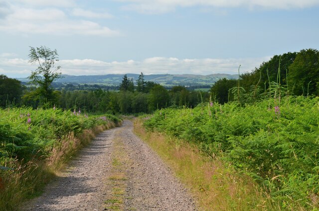
With its well-maintained walking trails, Martinwhat Plantation offers visitors the opportunity to explore its natural beauty. These trails wind through the plantation, allowing visitors to immerse themselves in the tranquil surroundings and enjoy the sights and sounds of the forest. The plantation also offers picnic areas, making it an ideal spot for families and nature lovers to relax and enjoy a day out.
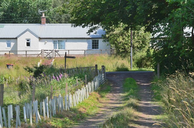
In addition to its natural beauty, Martinwhat Plantation has historical significance. It was once part of a larger estate and has remnants of old buildings and walls, adding to its charm and providing a glimpse into its past.
Overall, Martinwhat Plantation is a captivating destination, offering a combination of stunning natural landscapes, diverse wildlife, and a touch of history. It is a must-visit for anyone seeking a peaceful and enchanting woodland experience in Dumfriesshire.
If you have any feedback on the listing, please let us know in the comments section below.
Martinwhat Plantation Images
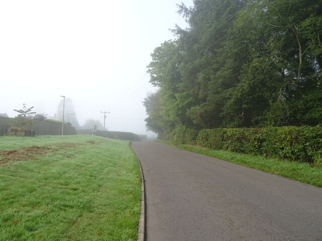
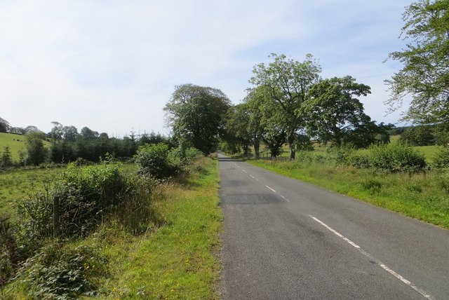
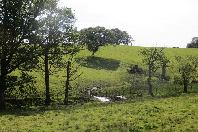
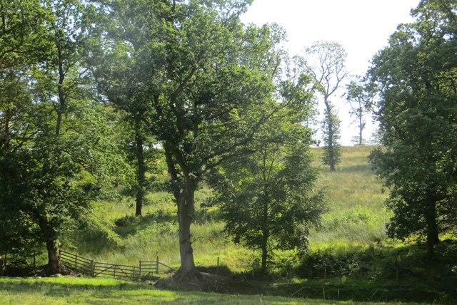
Images are sourced within 2km of 55.220144/-3.4307902 or Grid Reference NY0992. Thanks to Geograph Open Source API. All images are credited.


Martinwhat Plantation is located at Grid Ref: NY0992 (Lat: 55.220144, Lng: -3.4307902)
Unitary Authority: Dumfries and Galloway
Police Authority: Dumfries and Galloway
What 3 Words
///timing.pointed.drawn. Near Johnstonebridge, Dumfries & Galloway
Nearby Locations
Related Wikis

Johnstonebridge
Johnstonebridge is a village in Dumfries and Galloway, Scotland.It is roughly halfway between Moffat and Lockerbie, and lies on the A74(M) motorway. The...

Annandale Water services
Annandale Water services is a motorway service station in the village of Johnstonebridge, Scotland. The service station is located next to the A74(M) motorway...

Annandale Water
Annandale Water is a loch in Annandale, Dumfries and Galloway, in the south west of Scotland. It is part of Annandale Water service station at Junction...

Dinwoodie railway station
Dinwoodie railway station was a station which served the rural area around the settlement of Dinwoodie, 6 miles north of Lockerbie in Applegarth parish...
Have you been to Martinwhat Plantation?
Leave your review of Martinwhat Plantation below (or comments, questions and feedback).