Strathbrock and Kirkhill Woodlands
Wood, Forest in West Lothian
Scotland
Strathbrock and Kirkhill Woodlands
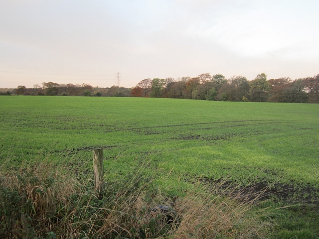
Strathbrock and Kirkhill Woodlands are located in West Lothian, Scotland. These woodlands are part of the larger Strathbrock Country Park, which covers an extensive area of approximately 24 hectares. The woodlands are situated on the outskirts of the town of Broxburn and are easily accessible to both locals and visitors.
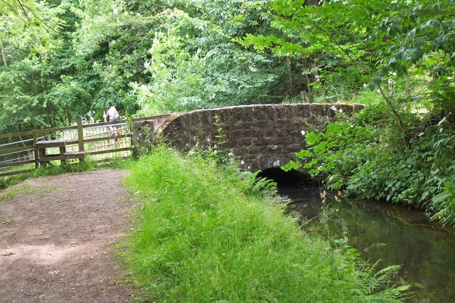
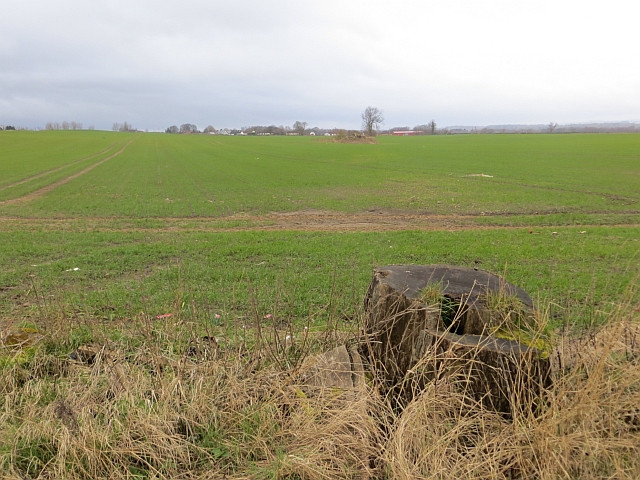
Strathbrock Woodland is a mix of deciduous and coniferous trees, providing a diverse habitat for a wide range of wildlife. Visitors can expect to see species such as oak, birch, beech, and pine trees, which form a beautiful and tranquil natural environment. The woodlands also feature open grassland areas, ponds, and a meandering stream, adding to the overall appeal and variety of the landscape.
Kirkhill Woodlands, adjacent to Strathbrock Woodland, offers a similar setting but with its own distinctive features. It is primarily composed of mature native trees, including oak and ash, which create a dense and enchanting canopy. The woodlands are crisscrossed by a network of well-maintained paths that make it easy for visitors to explore and enjoy the area.
Both Strathbrock and Kirkhill Woodlands are popular destinations for outdoor enthusiasts, nature lovers, and families. The woodlands provide ample opportunities for walking, jogging, and cycling, with designated trails catering to different levels of fitness and mobility. Additionally, the woodlands are home to a rich variety of wildlife, including birds, squirrels, and occasional deer sightings, making it a haven for birdwatchers and wildlife enthusiasts.
Overall, Strathbrock and Kirkhill Woodlands offer a peaceful and picturesque natural retreat in West Lothian, providing a welcome escape from the hustle and bustle of daily life.
If you have any feedback on the listing, please let us know in the comments section below.
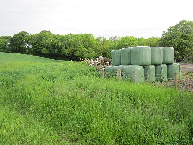
Strathbrock and Kirkhill Woodlands Images
Images are sourced within 2km of 55.915227/-3.4576187 or Grid Reference NT0870. Thanks to Geograph Open Source API. All images are credited.


Strathbrock and Kirkhill Woodlands is located at Grid Ref: NT0870 (Lat: 55.915227, Lng: -3.4576187)
Unitary Authority: West Lothian
Police Authority: The Lothians and Scottish Borders
What 3 Words
///tolerates.screeches.robes. Near Broxburn, West Lothian
Nearby Locations
Related Wikis
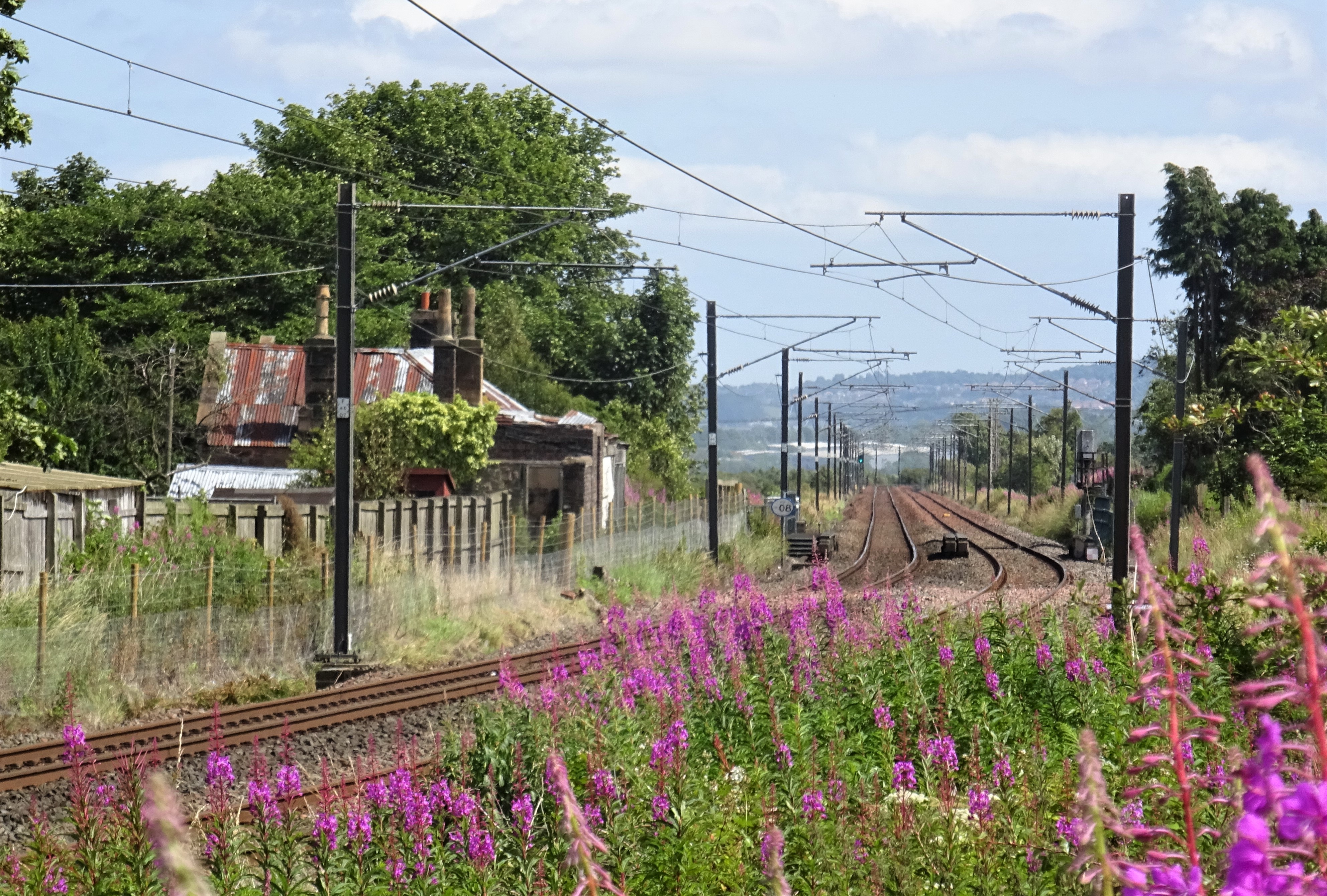
Drumshoreland railway station
Drumshoreland railway station was a railway station in West Lothian, Scotland. It was located on the Edinburgh and Bathgate Railway. == History == Opened...
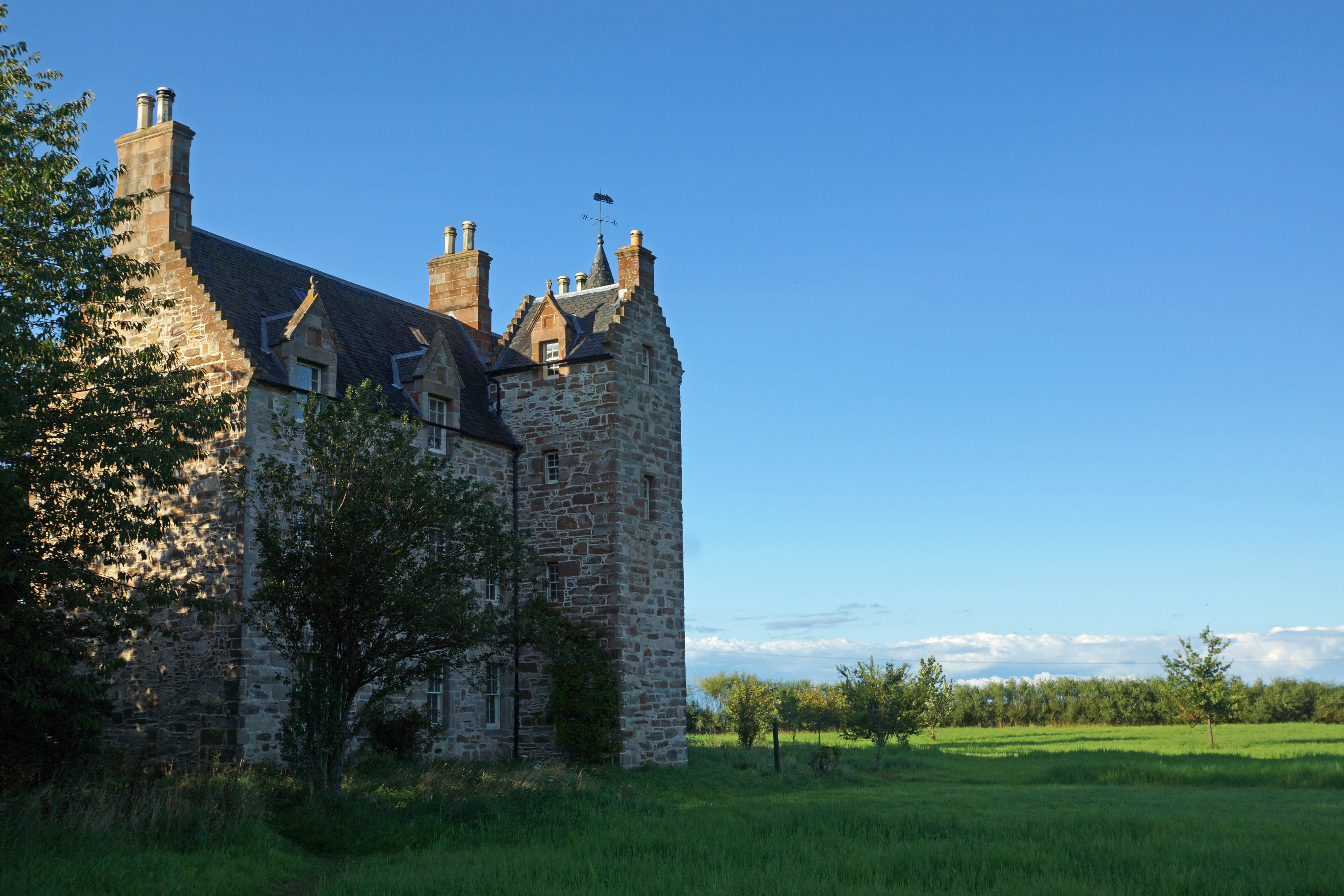
Illieston House
Illieston House, also known as Illieston Castle, is a castle located in West Lothian, Scotland, by the River Almond near Broxburn. == Description == The...
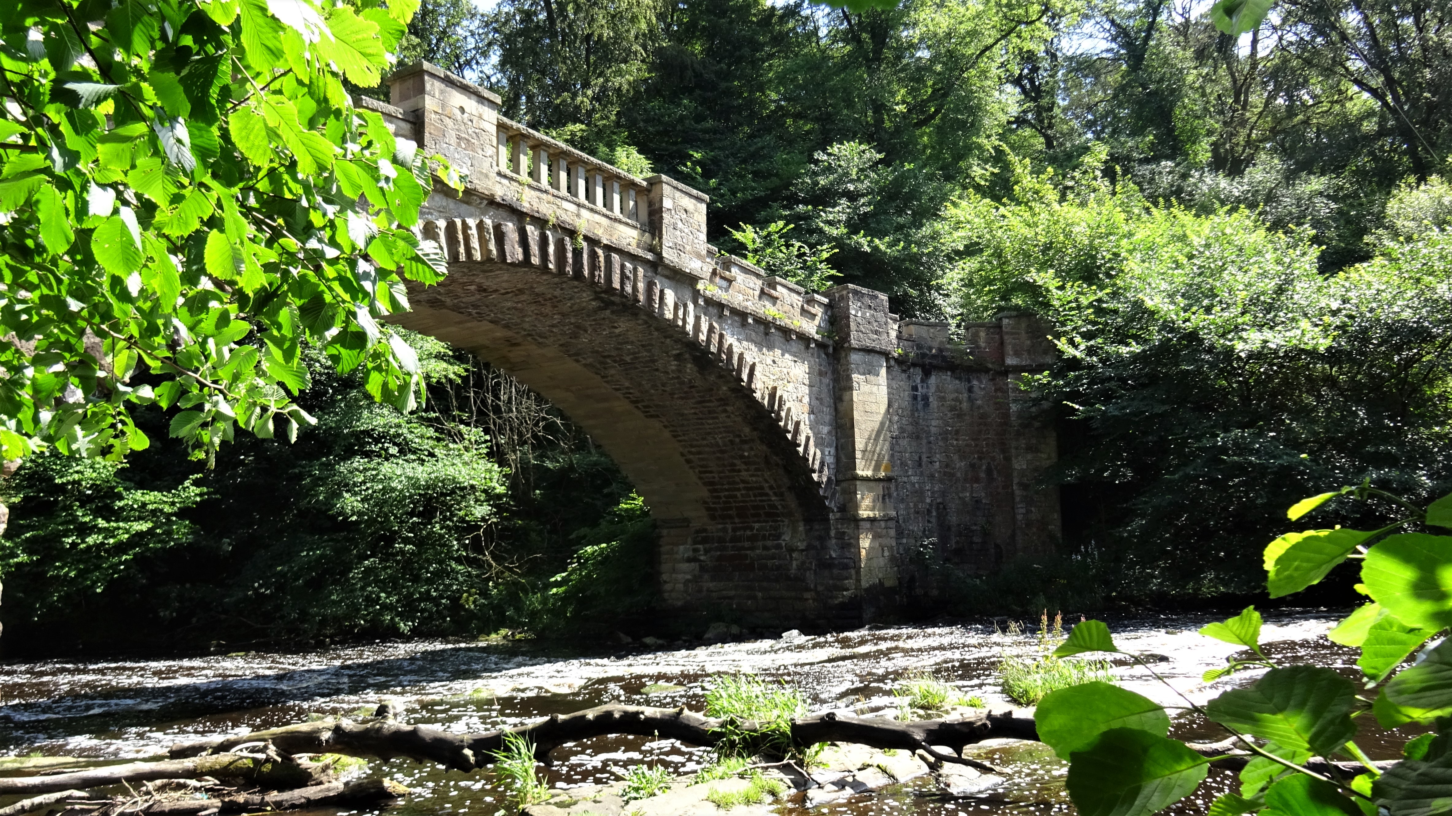
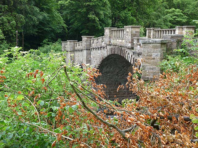
Nasmyth Bridge
The Nasmyth Bridge (also known as the Almondell Bridge) is a Category A Listed historic bridge and local landmark in East Calder, Scotland. Located within...

Almondell and Calderwood Country Park
Almondell and Calderwood Country Park is a 220-acre (0.89 km2) Country Park in Mid Calder and East Calder in West Lothian, Scotland. It is a 4 star Visitor...
Nearby Amenities
Located within 500m of 55.915227,-3.4576187Have you been to Strathbrock and Kirkhill Woodlands?
Leave your review of Strathbrock and Kirkhill Woodlands below (or comments, questions and feedback).