Aberdalgie Wood

Wood, Forest in Perthshire

Scotland

Aberdalgie Wood

Field alongside the M90 near Broxden
Field alongside the M90 near Broxden Credit: Douglas Nelson

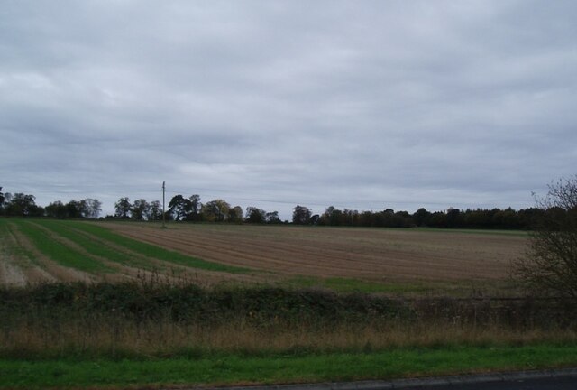
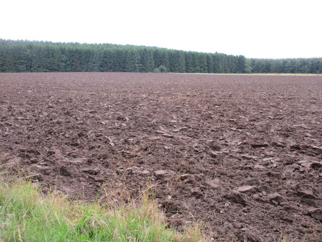
Aberdalgie Wood, located in Perthshire, Scotland, is a charming forest renowned for its natural beauty and rich biodiversity. Spanning over 1,000 acres, this wood is a haven for nature enthusiasts and a popular destination for outdoor activities.

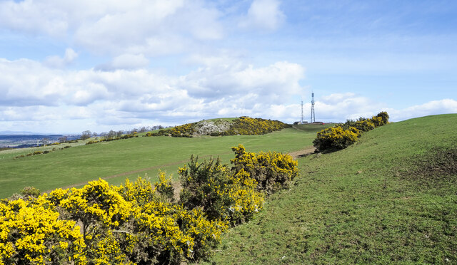
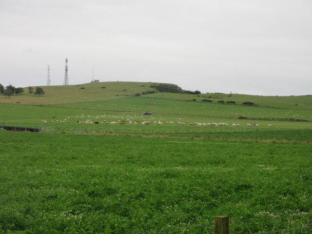
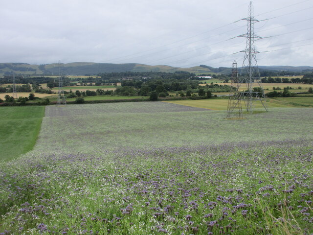
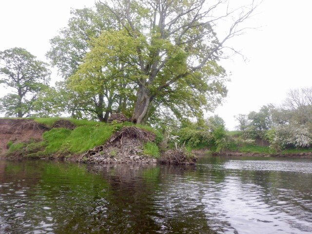
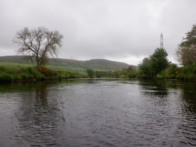
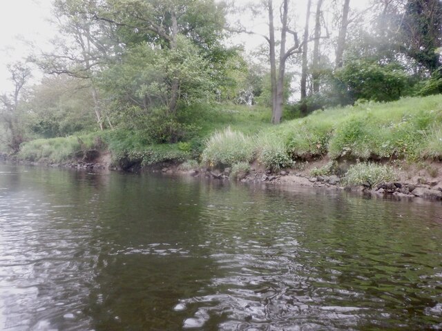
The wood features a diverse range of tree species, including oak, beech, and birch, creating a stunning tapestry of colors throughout the seasons. The canopy provides shade and shelter for a variety of flora and fauna, making it a perfect habitat for numerous species of birds, mammals, and insects. Wildlife enthusiasts can spot red squirrels, badgers, and roe deer, among other creatures, as they explore the wood.

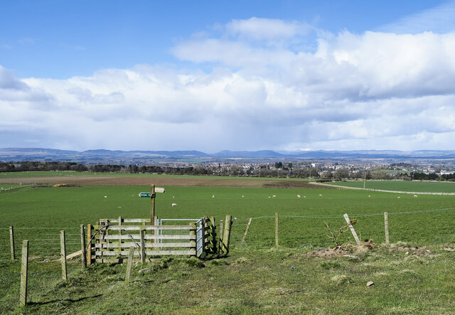
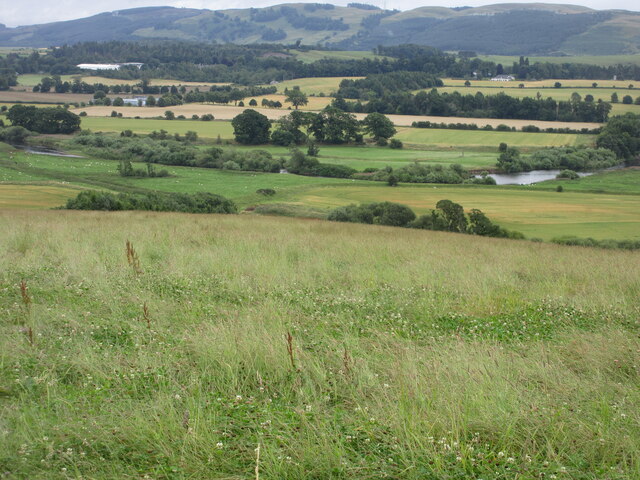
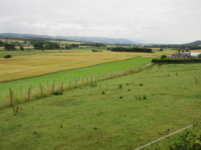
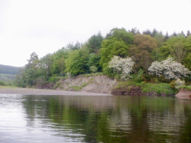
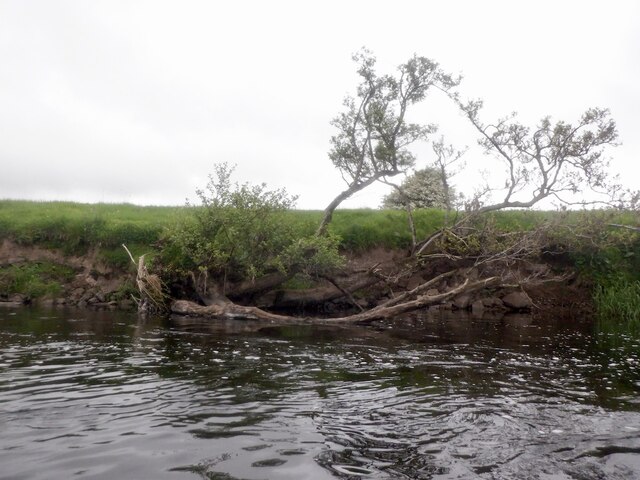
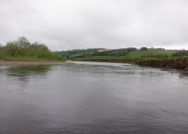
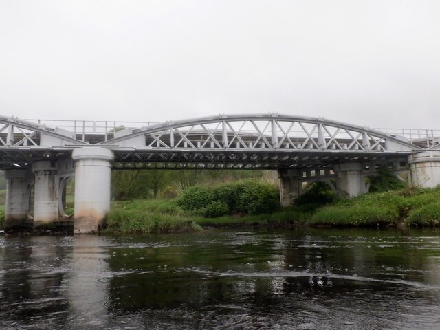
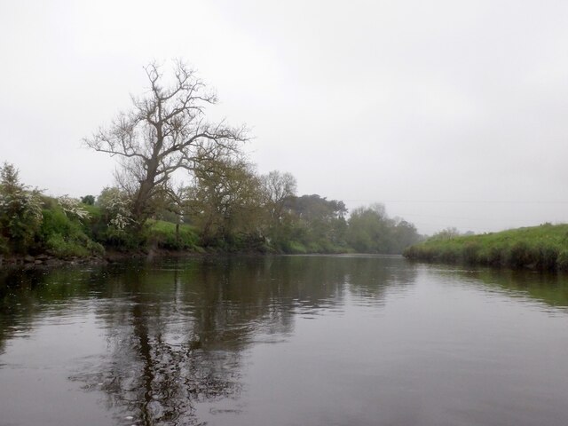
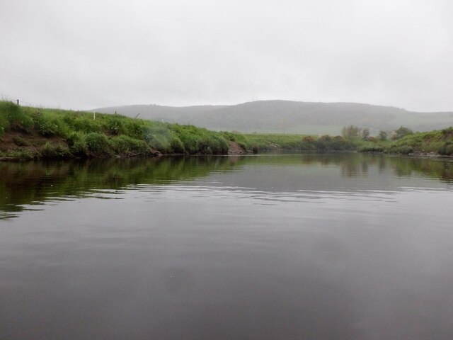
Aberdalgie Wood offers a network of well-maintained trails, allowing visitors to immerse themselves in the peaceful surroundings while enjoying leisurely walks or more vigorous hikes. The trails wind through the wood, offering breathtaking views of the surrounding countryside and the River Earn.

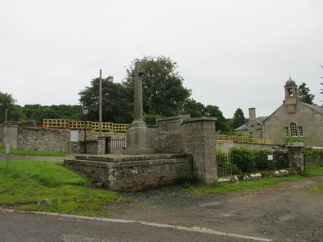
For those interested in history, Aberdalgie Wood contains remnants of its past, including the ruins of an old chapel and cemetery that date back to the 12th century. These historic relics add a touch of intrigue and provide a glimpse into the wood's cultural heritage.

Overall, Aberdalgie Wood is a hidden gem in Perthshire, offering a tranquil escape from the hustle and bustle of daily life. Whether one seeks a peaceful stroll, a chance to spot wildlife, or an opportunity to delve into history, this wood provides a memorable experience for visitors of all ages.

If you have any feedback on the listing, please let us know in the comments section below.

Aberdalgie Wood Images

Images are sourced within 2km of 56.369059/-3.4752567 or Grid Reference NO0820. Thanks to Geograph Open Source API. All images are credited.

Field alongside the M90 near Broxden
Footpaths and signpost on north side of Mailer Hill The signpost indicates three separate routes developed in the area as 'core paths'. Buildings in the city of Perth are in the distance.
Footpaths and signpost on north side of Mailer Hill
The signpost indicates three separate routes developed in the area as 'core paths'. Buildings in the city of Perth are in the distance.
Gorse bushes west of Mailer Hill The bushes lie along the ridge of Mailer Hill, west of its summit which is at a trig point at the centre of the image.
Gorse bushes west of Mailer Hill
The bushes lie along the ridge of Mailer Hill, west of its summit which is at a trig point at the centre of the image.
Livestock under Mailer Hill Cattle and sheep spread out under the north-western flank of Mailer Hill.
Livestock under Mailer Hill
Cattle and sheep spread out under the north-western flank of Mailer Hill.
Ploughed field next to the B9112 Ploughed up field adjacent to the B9112, with Broxden Wood beyond.
Ploughed field next to the B9112
Ploughed up field adjacent to the B9112, with Broxden Wood beyond.
Grassland above Strathearn Rough grass meadow above the River Earn, west of Aberdalgie.
Grassland above Strathearn
Rough grass meadow above the River Earn, west of Aberdalgie.
Aberdalgie War Memorial The war memorial at Aberdalgie, with the church to the right.
Aberdalgie War Memorial
The war memorial at Aberdalgie, with the church to the right.
Strip of paddocks Long strip of grass paddocks at East Mains of Aberdalgie.
Strip of paddocks
Long strip of grass paddocks at East Mains of Aberdalgie.
Flowery field under the pylons Flower and weed meadow beneath the pylons west of Mailer.
Flowery field under the pylons
Flower and weed meadow beneath the pylons west of Mailer.
Eroding bank, River Earn The outside of a bend with a woodland slowly being consumed by the lengthening meander.
Eroding bank, River Earn
The outside of a bend with a woodland slowly being consumed by the lengthening meander.
River Earn, Aberdalgie
Earn Viaduct Carrying the railway between Perth and Stirling which was the Caledonian Railway's main route north.  View of one of the four spans from downstream on the river.
Earn Viaduct
Carrying the railway between Perth and Stirling which was the Caledonian Railway's main route north. View of one of the four spans from downstream on the river.
Boat of Forgandenny An eroded sharp headland within a meander. This is the site of a ferry.
Boat of Forgandenny
An eroded sharp headland within a meander. This is the site of a ferry.
River Earn, Forgandenny
River Earn, Freeland Farm The river is mature here with lots of meanders. There is still a good flow.
River Earn, Freeland Farm
The river is mature here with lots of meanders. There is still a good flow.
River Earn, Freeland Farm Upstream view.
River Earn, Freeland Farm
Upstream view.
River Earn Passing the Kirkton Pouch, once almost an island due to meandering. There is a large oxbow lake nearby
River Earn
Passing the Kirkton Pouch, once almost an island due to meandering. There is a large oxbow lake nearby
Show me another place!

Aberdalgie Wood is located at Grid Ref: NO0820 (Lat: 56.369059, Lng: -3.4752567)

Unitary Authority: Perth and Kinross

Police Authority: Tayside

What 3 Words

///thing.tripods.listening. Near Perth, Perth & Kinross

Nearby Locations

Aberdalgie Wood

Related Wikis

Forgandenny railway station

Forgandenny railway station served the village of Forgandenny, Perth and Kinross, Scotland from 1848 to 1956 on the Scottish Central Railway. == History... ==

Aberdalgie

Aberdalgie (Gaelic: Obar Dheilgidh, 'Confluence of the Thorn-Stream') is a small village in the Scottish council area of Perth and Kinross. It is 3 miles...

Cherrybank Gardens

Cherrybank Gardens was a public garden in the southwestern outskirts of the Scottish city of Perth. Originally Bell's Cherrybank Gardens, when it was created...
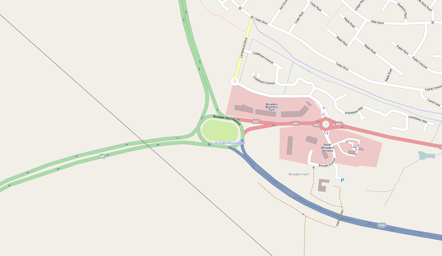
Broxden Junction

Broxden Junction (also known as Broxden Roundabout or Broxden Interchange) is one of the busier and more important road junctions in Scotland. It is located...

Strathallan School

Strathallan School is a private boarding and day school in Scotland for boys and girls aged 5-18. The school has a 153-acre (62-hectare) campus at Forgandenny...

Forgandenny

Forgandenny (Scottish Gaelic Forgrann Eithne, 'Over-Bog of Eithne' [an ancient female Gaelic name]) is a small village in Perth and Kinross, Scotland,...
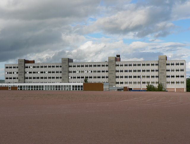
Perth High School

Perth High School is a six-year, non-denominational comprehensive secondary school in Perth, Scotland. Established in 1950 at Gowans Terrace in a post...

Pitheavlis Castle

Pitheavlis Castle, located in Perth, Scotland, was built in the late 16th century. Now a Category A listed building, it stands in a residential neighbourhood...

Nearby Amenities

Located within 500m of 56.369059,-3.4752567
Power: tower
Lat/Long: 56.370022/-3.4712294
Power: tower
Lat/Long: 56.365956/-3.4744713
Power: tower
Lat/Long: 56.3678298/-3.4694491
Power: tower
Lat/Long: 56.372618/-3.4734017
Power: tower
Lat/Long: 56.3668613/-3.4787831
Power: tower
Lat/Long: 56.3675501/-3.4820061
Power: pole
Lat/Long: 56.3701989/-3.4682161
Power: pole
Lat/Long: 56.3694808/-3.4678157
Power: pole
Lat/Long: 56.3687498/-3.4674223
Power: pole
Lat/Long: 56.3662233/-3.4691996
Power: pole
Lat/Long: 56.3663013/-3.4703671
Power: pole
Lat/Long: 56.3663839/-3.471531
Power: pole
Lat/Long: 56.366478/-3.4727951
Power: pole
Lat/Long: 56.3665657/-3.4740847
Power: pole
Lat/Long: 56.3666482/-3.4753371
Power: pole
Lat/Long: 56.3667384/-3.476536
Power: pole
Lat/Long: 56.3665579/-3.4777232
Power: pole
Lat/Long: 56.3664399/-3.4785252
Power: pole
Lat/Long: 56.3663329/-3.4796682
Power: pole
Lat/Long: 56.3662324/-3.4807378
Power: pole
Lat/Long: 56.3653824/-3.4754267
Power: pole
Lat/Long: 56.3647524/-3.4750754
The data included in this document is from www.openstreetmap.org. The data is made available under ODbL.

Have you been to Aberdalgie Wood?

Leave your review of Aberdalgie Wood below (or comments, questions and feedback).