Castle Street
Settlement in Yorkshire
England
Castle Street

Castle Street is a charming and historic thoroughfare located in the heart of Yorkshire, England. This picturesque street is nestled within a vibrant community, surrounded by stunning landscapes and dotted with a variety of buildings that showcase the region's architectural heritage.
Lining the street are several notable landmarks, including the majestic Yorkshire Castle. This magnificent fortress, dating back to the medieval period, stands as a testament to the area's rich history. Its imposing stone walls and towering turrets provide a captivating backdrop to the street, evoking a sense of awe and intrigue.
Castle Street is also home to a range of shops, boutiques, and eateries, offering a diverse array of products and experiences for both locals and visitors alike. From quaint antique stores and charming bookshops to trendy cafes and traditional pubs, there is something to cater to every taste and interest.
The street's appeal extends beyond its architectural beauty and commercial offerings. It serves as a hub for community events and gatherings throughout the year, such as festive markets and cultural festivals. These events bring the street to life, inviting residents and tourists to partake in the vibrant atmosphere and immerse themselves in the local culture.
Overall, Castle Street in Yorkshire is a captivating destination that seamlessly blends history, community, and commerce. With its striking landmarks, diverse establishments, and lively events, it is a must-visit location for anyone seeking to experience the essence of Yorkshire's charm and character.
If you have any feedback on the listing, please let us know in the comments section below.
Castle Street Images
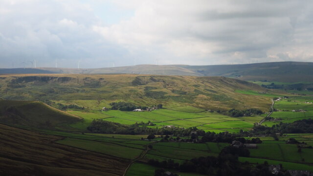
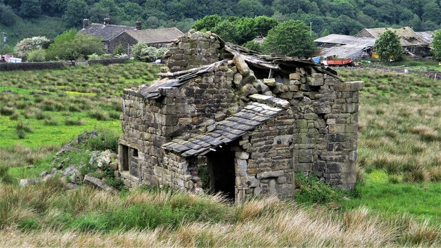
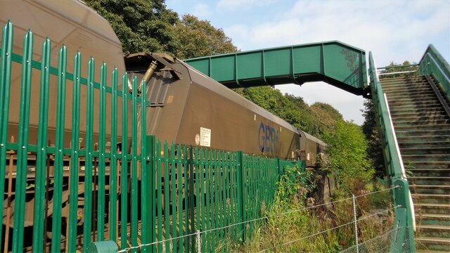
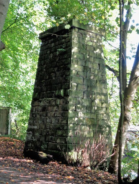
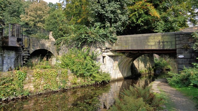
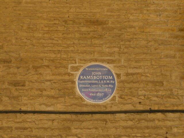
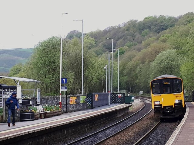
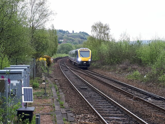
Images are sourced within 2km of 53.716886/-2.075731 or Grid Reference SD9524. Thanks to Geograph Open Source API. All images are credited.


Castle Street is located at Grid Ref: SD9524 (Lat: 53.716886, Lng: -2.075731)
Division: West Riding
Unitary Authority: Calderdale
Police Authority: West Yorkshire
What 3 Words
///exclaim.cabbies.tolls. Near Todmorden, West Yorkshire
Nearby Locations
Related Wikis

Mankinholes
Mankinholes is a hamlet in the Metropolitan Borough of Calderdale, in West Yorkshire, England. It is situated in the Pennines and the nearest town is Todmorden...

Stansfield Hall railway station
Stansfield Hall railway station (English: ) was the second station in Stansfield, Todmorden in West Yorkshire, England and was situated on the Copy Pit...

Todmorden Markets
Todmorden Markets consist of an indoor market held in the Public Market Hall and an outdoor open air market held to the front of the Public Market Hall...

Todmorden
Todmorden ( TOD-mər-dən; locally ) is a market town and civil parish in the Upper Calder Valley in Calderdale, West Yorkshire, England. It is 17 miles...

Todmorden bus station
Todmorden bus station serves the town of Todmorden, West Yorkshire, England. The bus station is owned and managed by West Yorkshire Metro and was opened...

Todmorden Town Hall
Todmorden Town Hall is a municipal building in Halifax Road, Todmorden, West Yorkshire, England. The town hall, which is the meeting place of Todmorden...

Todmorden railway station
Todmorden railway station serves the town of Todmorden in West Yorkshire, England, originally on the Yorkshire and Lancashire border. It was built by the...
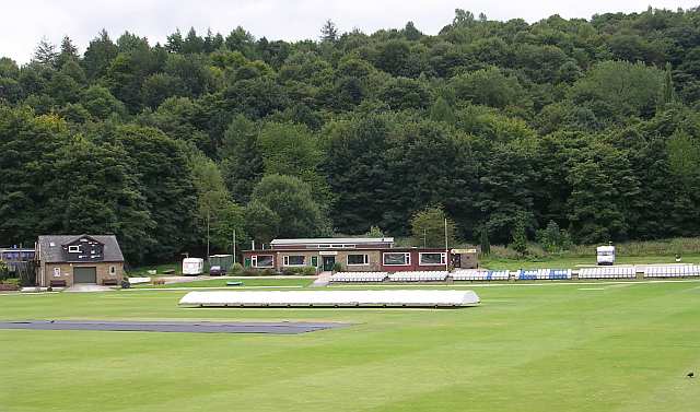
Todmorden Cricket Club
Todmorden Cricket Club is a cricket club in the Lancashire League, which plays its home games at Centre Vale in Todmorden, West Yorkshire. Until the administrative...
Nearby Amenities
Located within 500m of 53.716886,-2.075731Have you been to Castle Street?
Leave your review of Castle Street below (or comments, questions and feedback).